If you grew up in Concord Township, drive Baltimore Pike every day, or have family in Concordville or Concord Hunt, this map gives you a lot to find. It's a modern aerial view of Concord Township in Delaware County, Pennsylvania, made from modern data and given a vintage artistic feel. More than 12,000 buildings are marked in deep red over soft green hills. The view runs from Springlawn Road at the top down to Naamans Creek Road and Concord Crossing near the bottom. Explore the print options for Concord, Delaware County.
Baltimore Pike, Concordville and Wilmington Pike
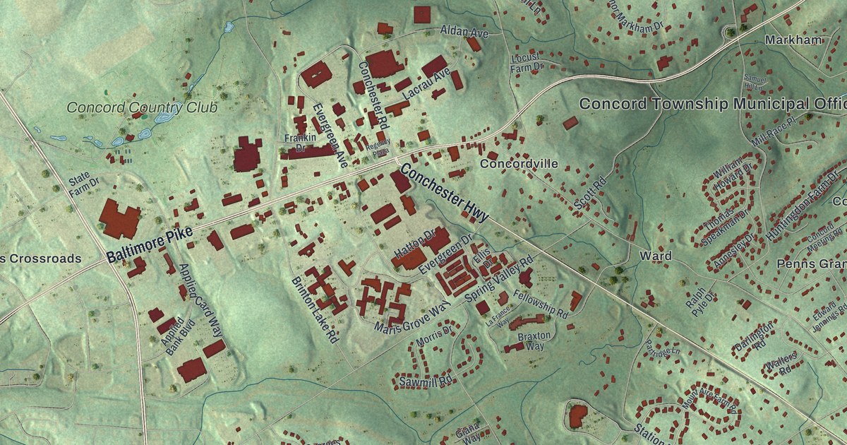
Start at the Concord Township Municipal Office, printed in the middle of the sheet on Baltimore Pike. Thornton Road runs north from here. Head west on Baltimore Pike and you'll come to Concordville. That's where Conchester Highway splits off and runs southeast. Keep going west past Brinton Lake Road to Painters Crossroads, where Wilmington Pike comes in. Concord Country Club is printed just above it. Now follow Wilmington Pike south past Elam and Johnsons Corner. Near the bottom it meets Naamans Creek Road, with Concord Crossing and North Chase just to the east. Back at the office, Baltimore Pike runs the other way, northeast past Markham to Ivy Mills and Edgewood Memorial Park. A creek winds across the upper right, though it isn't labeled. Many of the roads are named, and each red shape is a building, so zoom in on the preview and look for yours.
Concord first shows up in the records in June 1683. That's when a court at Chester named John Mendenhall constable for "Concord liberty." The 1884 History of Delaware County, Pennsylvania says the name likely came from how well the first settlers got along. The book then walks through the early farms one by one. John Palmer's wife, Mary Suddery, was "a woman of great courage," it says. One day she drove a bear away from a chestnut tree on their farm with a fire poker. Dennis Rochford, an Irishman from County Wexford, came over with William Penn on the Welcome. His wife, Mary, and two of their daughters died on the way over. He settled on his land in Concord and served in the Assembly in 1683.
Many of those early names are on the map today. Mendenhall Drive and Hitchcock Lane come off Andrien Road near the top. Palmer Drive runs off Smithbridge Road. John Beal Drive and William Beaser Drive sit near Shavertown Road, and the book spells that settler Beazer. Pyle Road runs east from Wilmington Pike at the bottom. Rochford Estates is printed on the right side of the sheet. Rockland Manor Road shares its name with the old manor of Rockland, whose lines ran along Concord's western edge. Concord Meeting Road runs past Penns Grant. John Mendenhall gave the land for the Friends meeting house in 1697, and the trustees paid him "one peppercorn yearly forever."
One more place to look for is where Pole Cat Road meets Ivy Mills Road. A state historical marker there says Thomas Willcox built a paper mill nearby in 1729. It sold paper to Benjamin Franklin's print shop. By 1776 it was making paper for the money of the colonies and the Continental Congress. The mill isn't marked on the map, but both roads are.
For anyone from Concordville, Ivy Mills or Johnsons Corner
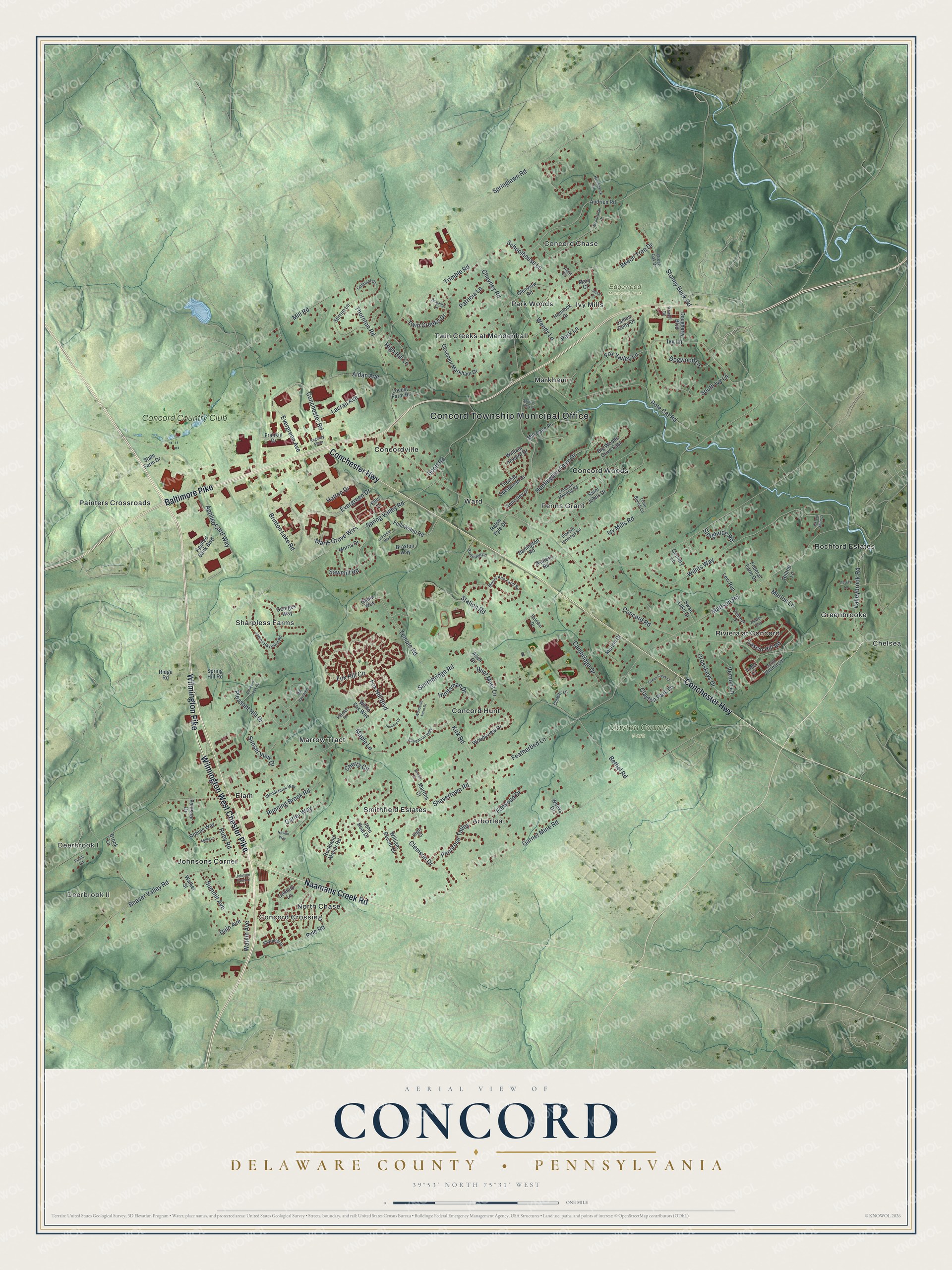
Created by KNOWOL in 2026, this Concord Township map shows the hills shaded in soft green from USGS elevation data, with buildings in deep red and roads in pale lines. The title panel reads "Aerial View of Concord, Delaware County, Pennsylvania" and gives the coordinates 39°53' North, 75°31' West, with a one-mile scale bar.
It fits a home office, a family room or a front hall. It's a good gift for someone who grew up off Smithbridge Road, or for a parent who still lives near Concordville. Open the preview, zoom in and find the street you know. Shop the Concord, Delaware County, Pennsylvania map.