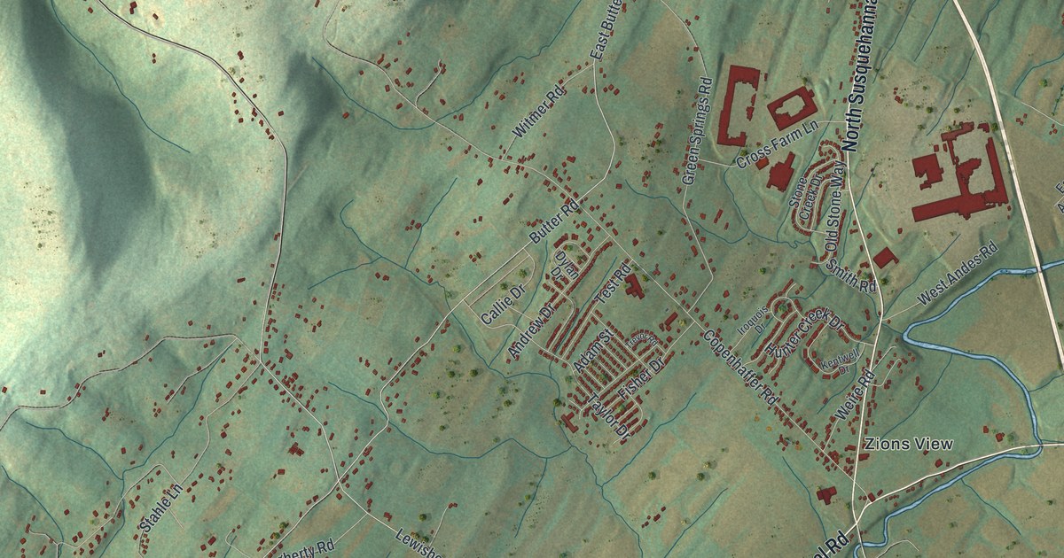
If you grew up near Strinestown, have family out on Butter Road, or drive Copenhaffer Road every day, this map gives you plenty to find. It's a modern aerial view of Conewago Township in York County, Pennsylvania, made from modern data and given a vintage artistic feel. Shaded hills rise on the left side, a creek winds along the top edge, and the township's roughly 3,900 buildings are drawn in red. Strinestown, Zions View, Andersontown and Eastmont are all named on the sheet. Explore the print options for Conewago, York County.
Strinestown, Zions View and Quickel's Church
Start at Strinestown near the top right, where Susquehanna Trail runs through the village. Cemetery Road and Hykes Mill Road branch off to the west. Now head south on North Susquehanna Trail to Zions View, near the middle of the sheet. From Zions View, Copenhaffer Road runs west. It passes Andrew Drive and Green Springs Road, then crosses Butter Road on its way to Lewisberry Road in the hills. Go back to Zions View and take East Canal Road southwest. A winding creek follows it, though the creek isn't labeled. Eastmont sits off to the west near Mill Creek Road. Bull Road runs up the west side into the hills, and Andersontown sits at the top left. A long, straight highway cuts down the right side, but it isn't labeled either. Many of the roads are named, and each red shape is a building, so zoom in on the preview and look for yours.
Conewago Township was made from parts of Newberry and Dover townships. The court approved it in 1818. An 1886 history of York County says the name is of Indian origin and means "at the rapids." The township was named for the winding streams along its edges. Look at the creek bending across the top of the map and you'll see why.
The same history tells the story of Quickel's Church, the Zion Lutheran and Reformed Church. On March 20, 1770, Michael Quickel and his wife Barbara sold a little over two acres for the church. The price was 40 shillings. Michael added one condition to the deed. Barbara would have a pew in the new church for the rest of her life. That first church was built of logs the same year. It stood until 1850, when a large brick church took its place. In 1881 the church added a spire 100 feet high and a bell that weighed 1,500 pounds.
The map doesn't label the church. It does print Quickel Road, which runs from Jug Road down to Mill Creek Road. Jacob Hake was one of the church trustees named in that deed, and Hake Road is printed off Copenhaffer Road near the top left. The history also says Martin Copenhafer ran a tannery on the road from Quickel's Church to Lewisberry. Today Copenhaffer Road and Lewisberry Road meet in the upper left of the map.
For anyone who knows Copenhaffer Road or Strinestown
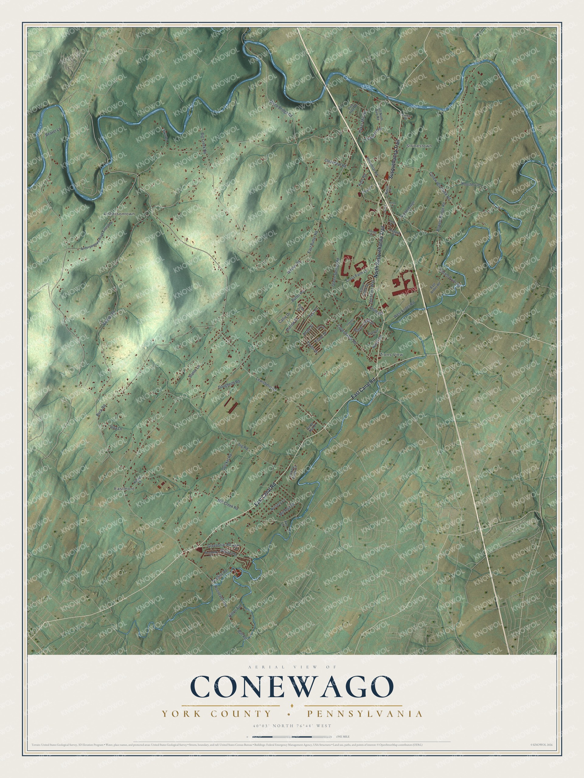
Created by KNOWOL in 2026, this Conewago map suits an office, a den or a farmhouse kitchen. The shaded hills come from USGS elevation data, and the buildings are drawn in deep red over soft green fields. The title panel reads "Aerial View of Conewago" above "York County • Pennsylvania," with the coordinates 40°03' North 76°48' West and a one-mile scale bar.
It's a thoughtful gift for someone who grew up in Strinestown or Zions View, anyone with family still out on Bull Road, or a friend who moved away from York County. Open the preview, zoom in and find the roads you know. Shop the Conewago, York County, Pennsylvania map.