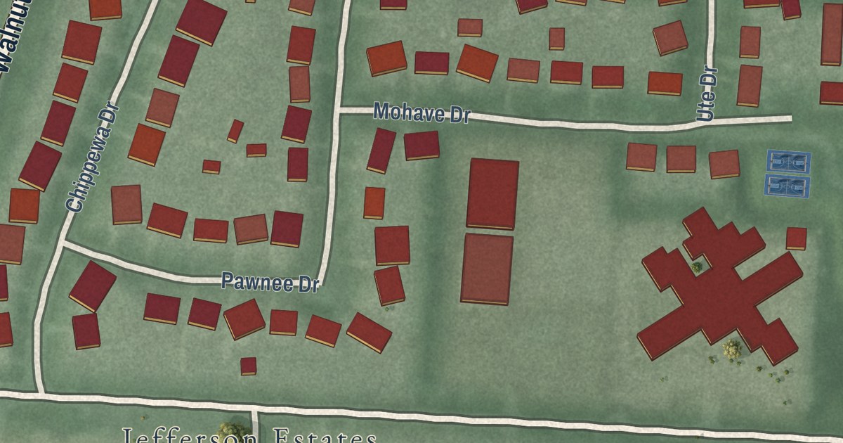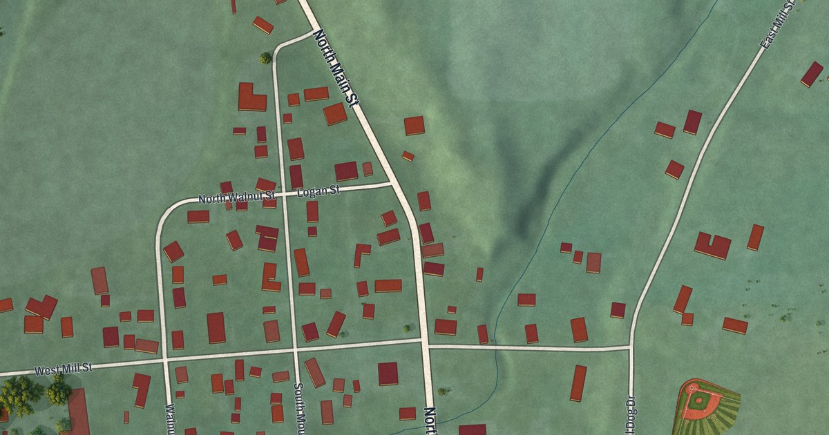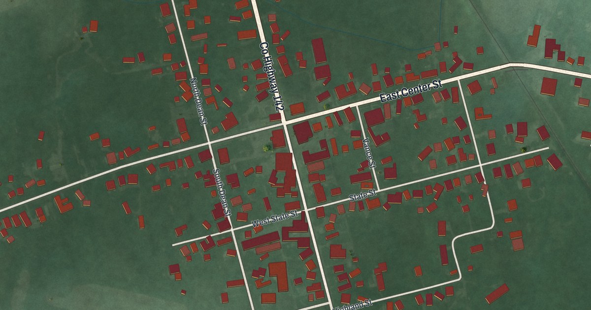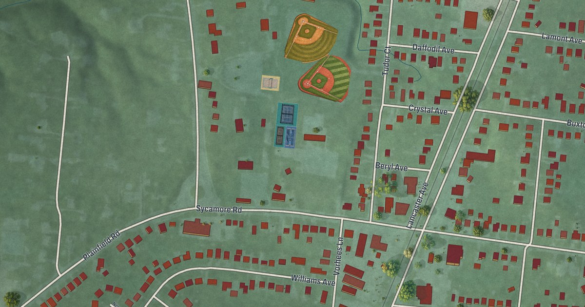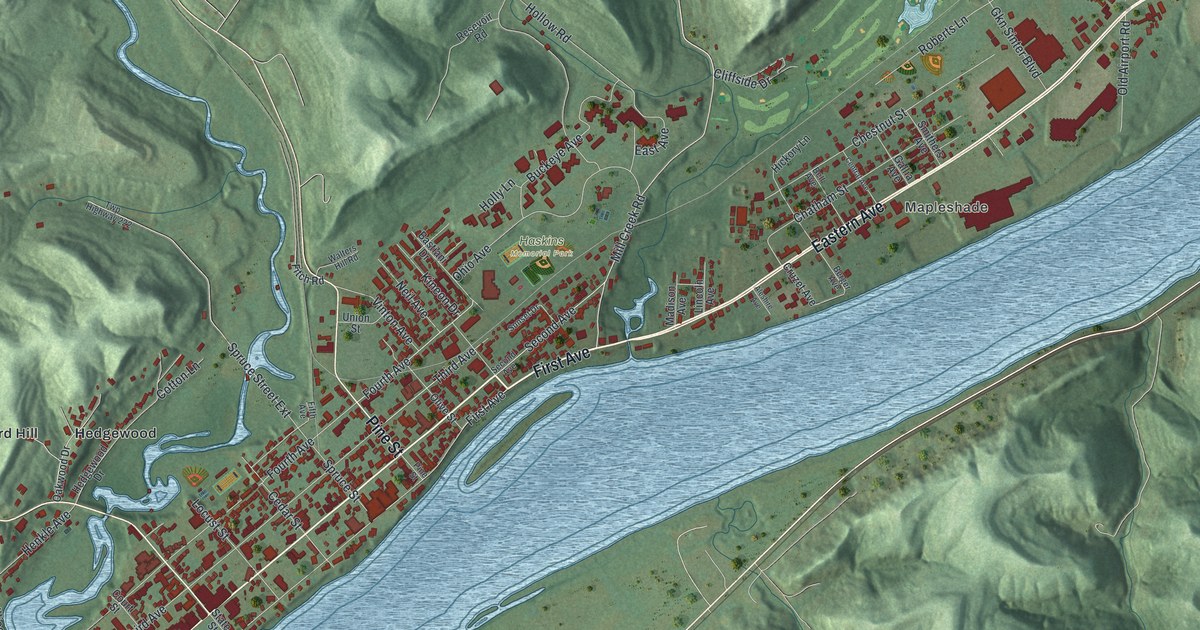
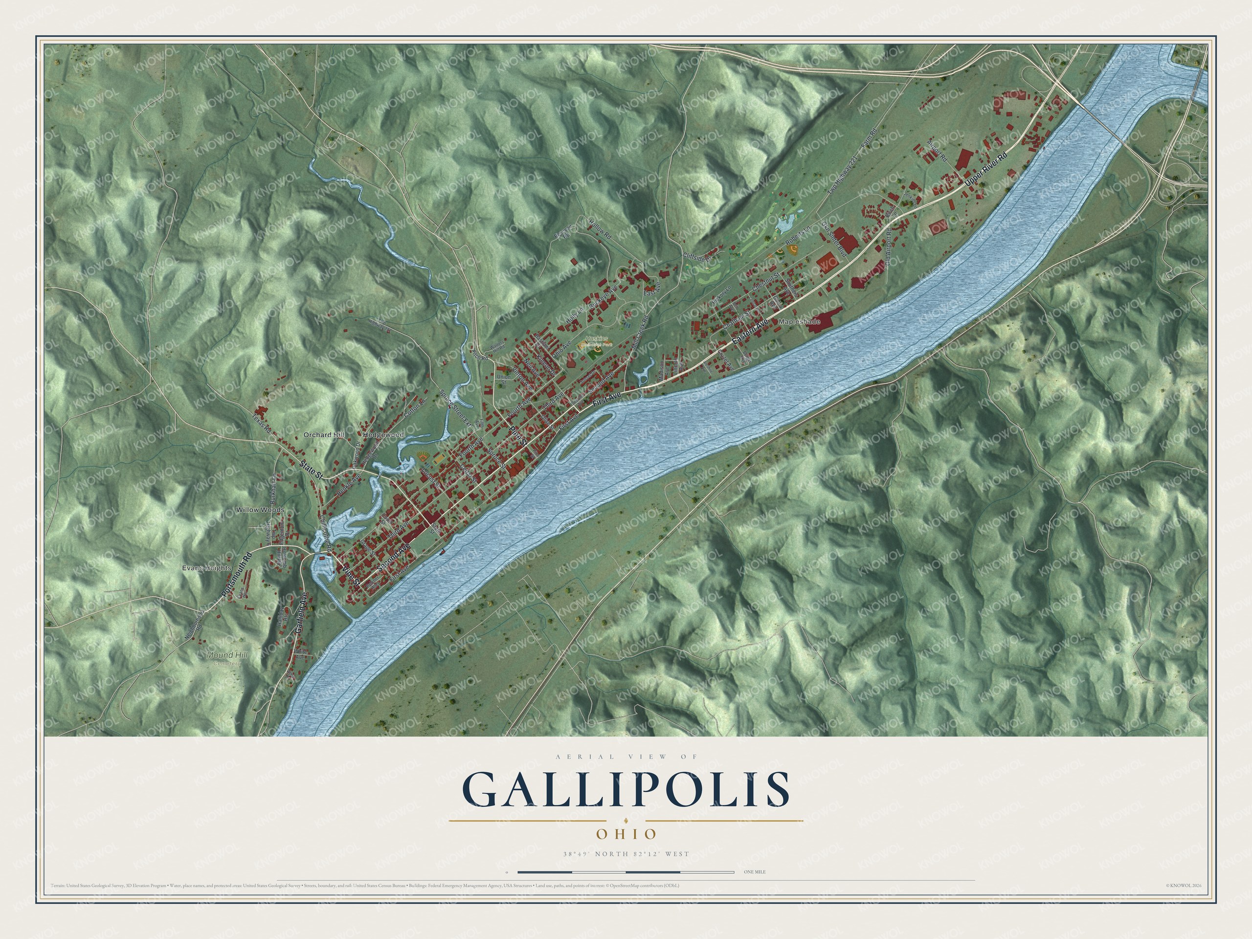
This beautifully detailed map of Gallipolis, Ohio was created in 2026 using aerial imagery combined with modern topographical, census, street and landmark data. It’s a one-of-a-kind view of Gallipolis that combines accurate data with a vintage aesthetic. The map shows every building in its true location, many of the roads carry their names, and the shaded topographic relief shows the shape of the land.
Explore an aerial view of Gallipolis, Ohio
On the map you’ll find Mapleshade, Evans Heights, Haskins Memorial Park, Mound Hill Cemetery, Hedgewood, Orchard Hill, and Willow Woods, along with Eastern Avenue, Upper River Road, Second Avenue, First Avenue, Vine Street, and more. If you look closely you can even find your house accurately drawn in its correct location. Zoom in on the preview to look for yours.
Did you know this piece of Gallipolis, Ohio history?
In 1790, about 500 French settlers fleeing the French Revolution reached Gallipolis. They had paid the Scioto Company for land, but their deeds proved worthless. They built cabins inside a palisade and survived. In 1795, the government of George Washington gave them free land in the French Grant.
Take a closer look at the Gallipolis map
Street and place names on the Gallipolis, Ohio map
These names are printed on the map of Gallipolis, Ohio.
Places: Mapleshade, Evans Heights, Haskins Memorial Park, Mound Hill Cemetery, Hedgewood, Orchard Hill and Willow Woods.
Streets and roads: Eastern Avenue, Upper River Road, Second Avenue, First Avenue, Vine Street, Portsmouth Road, State Street, Garfield Avenue, Pine Street, Mill Creek Road, Chillicothe Road, East Avenue.
More street names, A to Z
Airport Road, Aleshire Avenue, Allen Drive, Bastiani Drive, Belcher Alley, Bell Avenue, Berger Avenue, Birch Lane, Buckeye Avenue, Burkhart Lane, Cedar Street, Central Avenue, Chatham Street, Chestnut Street, Cliffside Drive, Cotton Lane, Court Street, Cruzet Avenue, Edgemont Drive, Farm Road, Fifth Avenue, Fitch Road, Fourth Avenue, Gallia Avenue, Gkn Sinter Boulevard, Grape Street, Halliday Heights, Hedgewood Drive, Henkle Avenue, Hickory Lane, Holcomb Hill Road, Hollow Road, Holly Lane, Jenkins Lane, Kineon Drive, Lincoln Avenue, Locust Street, Madison Avenue, Neighborhood Road, Neil Avenue, Oakwood Drive, Ohio Avenue, Old Airport Road, Olive Street, Resevoir Road, Roberts Lane, Smithers Avenue, Spruce Street, Spruce Street Extension, Sunset Drive, Texas Road, Third Avenue, Twp Highway 6, Twp Highway 221, Twp Highway 222, Union Street, Vinton Avenue, Walters Hill Road, White Avenue.
See the Gallipolis, Ohio map on a wall
The Gallipolis map as an 18 x 24 inch print in a black frame.

This beautifully detailed map of Gallipolis makes an attractive addition to your office, library, or den, and it can even be used to teach children the geography and history of the area. It also makes a great gift for anyone who grew up in Gallipolis or moved away. When you’re done exploring, click here to get your copy of the Gallipolis map.