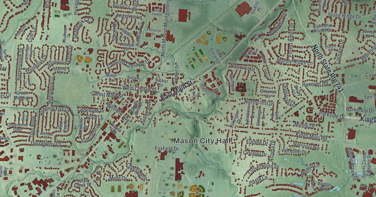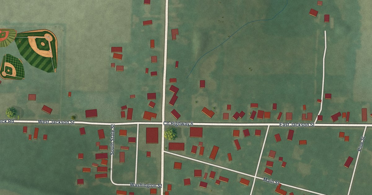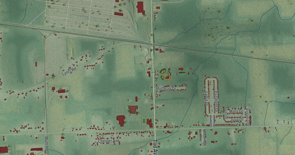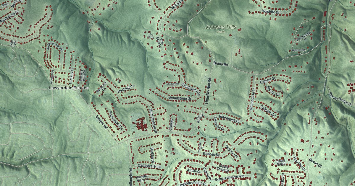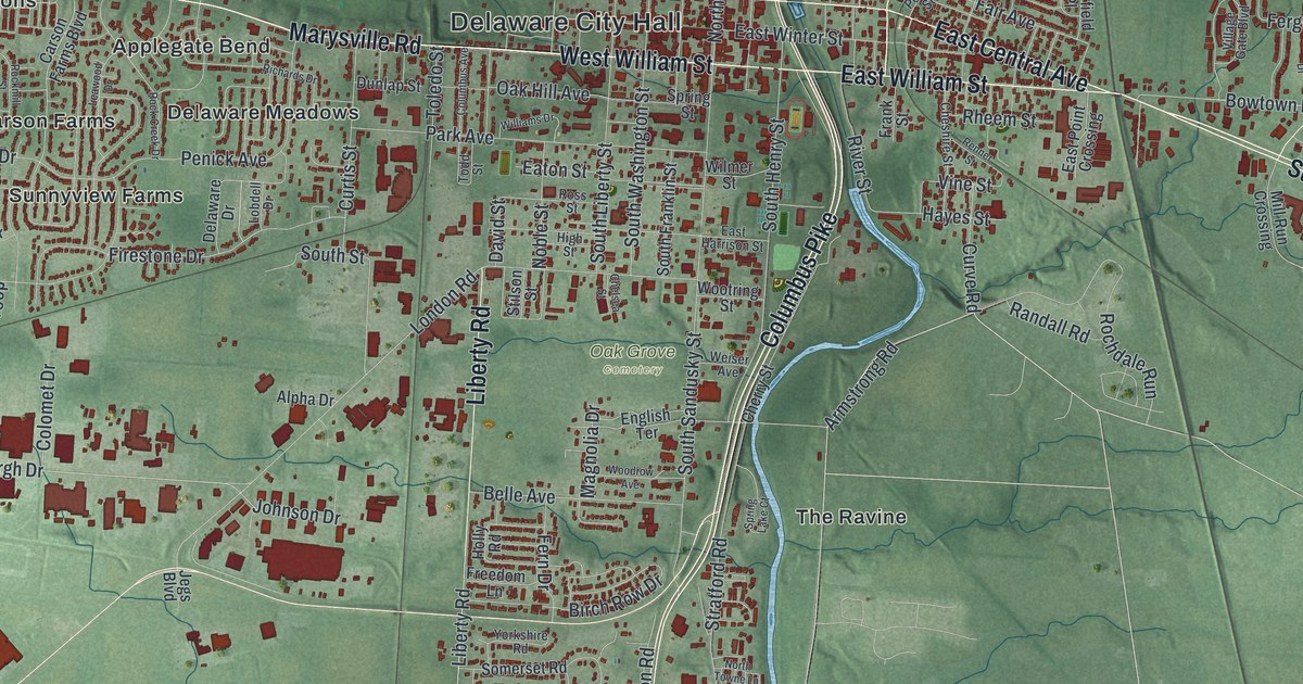
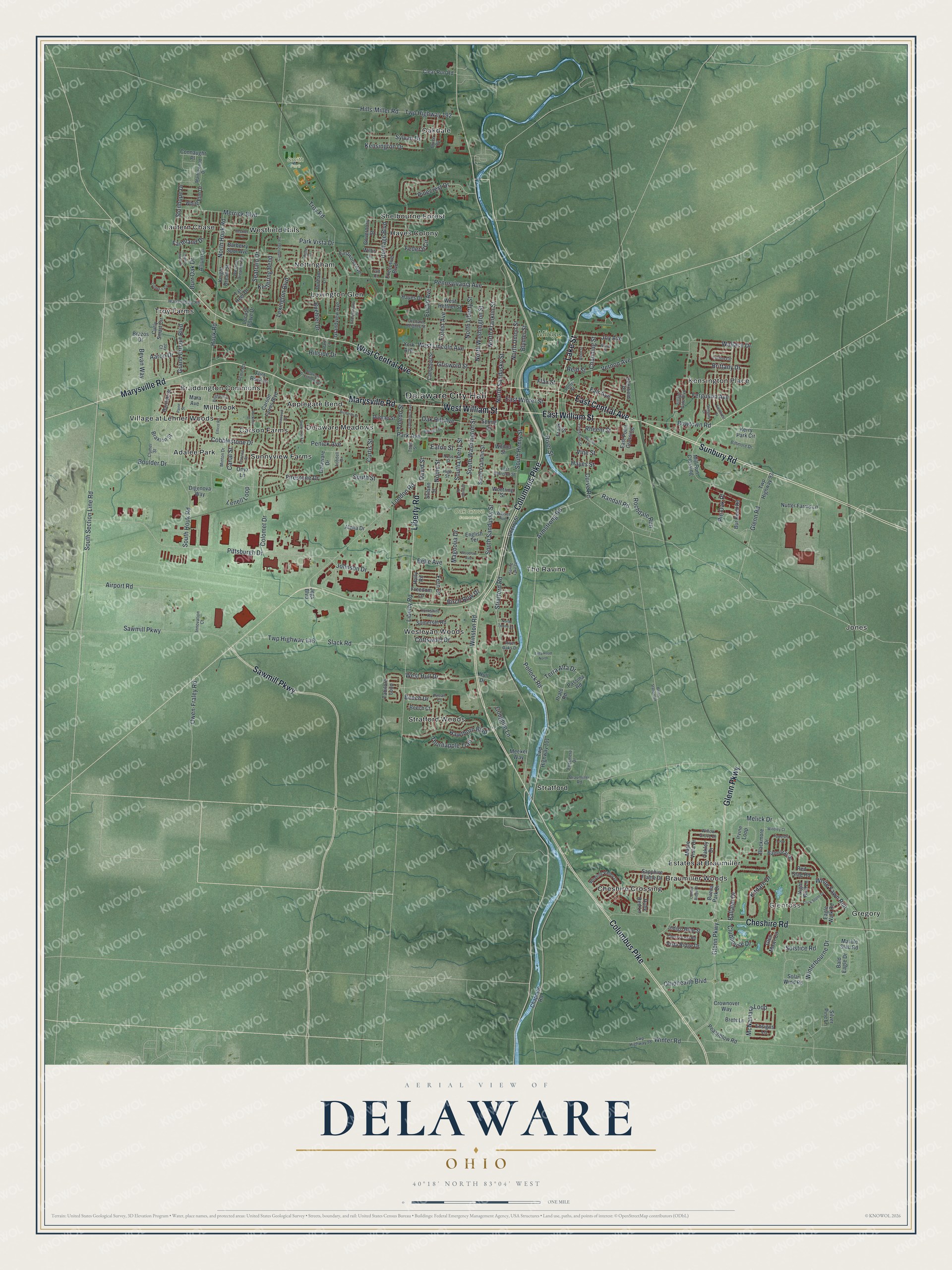
This beautifully detailed map of Delaware, Ohio was created in 2026 using aerial imagery combined with modern topographical, census, street and landmark data. It’s a one-of-a-kind view of Delaware that combines accurate data with a vintage aesthetic. The map shows every building in its true location, many of the roads carry their names, and the shaded topographic relief shows the shape of the land.
Explore an aerial view of Delaware, Ohio
On the map you’ll find Delaware City Hall, Glenross, Mingo Park, Oak Grove Cemetery, Smith Park, Adalee Park, Applegate Bend, Braddington Commons, Braumiller Woods, Carson Farms, Cheshire Crossing, Delaware Meadows, and more. If you look closely you can even find your house accurately drawn in its correct location. Zoom in on the preview to look for yours.
Did you know this piece of Delaware, Ohio history?
When Ohio moved its capital away from Chillicothe in 1812, both Delaware and Columbus were in the running. Delaware lost by one vote. Settlers still arrived in greater numbers after the War of 1812. They included the parents of Rutherford B. Hayes, who became the 19th President.
Take a closer look at the Delaware map
Street and place names on the Delaware, Ohio map
These names are printed on the map of Delaware, Ohio.
Places: Delaware City Hall, Glenross, Mingo Park, Oak Grove Cemetery, Smith Park, Adalee Park, Applegate Bend, Braddington Commons, Braumiller Woods, Carson Farms, Cheshire Crossing, Delaware Meadows, Estates at Braumiller, Gregory, Hayes Colony, Jones, Kensington Place, Lantern Chase, Lexington Glen, Millbrook, Nottingham, Oakdale, Shelbourne Forest, Stratford, Stratford Woods, Sunnyview Farms, The Ravine, Troy Farms, Village at Lehner Woods, Wesleyan Woods and Westfield Hills.
Streets and roads: Columbus Pike, Marysville Road, West Central Avenue, West William Street, Sawmill Parkway, Sunbury Road, East Central Avenue, East William Street, Cheshire Road, Liberty Road, Lake Street, Glenn Parkway.
More street names, A to Z
Aaron Drive, Acme Road, Airport Road, Allium Lane, Alpha Drive, Armstrong Road, Bald Eagle Drive, Ballater Drive, Balmoral Drive, Barberry Spur Avenue, Bartlett Street, Beckler Lane, Beech Court, Beech Drive, Belle Avenue, Berlin Station Road, Bevan Way, Biltmore Drive, Bingham Circle, Birch Row Drive, Blackmore Drive, Blymer Street, Boulder Drive, Bowtown Road, Braumiller Road, Braxton Street, Brazos Drive, Brets Lane, Brittany Drive, Bruce Road, Buehler Drive, Buena Park Drive, Bur Reed Road, Burr Oak Drive, Cambridge Road, Campbell Street, Canal Street, Carson Farms Boulevard, Channing Street, Chapman Road, Chelsea Street, Cherry Leaf Road, Cherry Street, Cheshire Street, Clear Run Road, Clubhouse Drive, Clymer Street, Cobblestone Drive, Colomet Drive, Colony Ridge Drive, Columbus Avenue, Connaught Place, Cottswold Drive, Coughlin Lane, Crick Stone Drive, Crownover Way, Curly Smart Circle, Curtis Street, Curve Road, David Street, Deerfield Place, Delaware Crossing East, Delaware Drive, Digenova Way, Dunlap Street, Durham Lane, Eagle Walk Road, East Harrison Street, East Point Crossing, East Winter Street, Eastwood Avenue, Eaton Street, Ellesmere Drive, Ellicot Road, English Terrace, Ensigns Lane, Euclid Avenue, Executive Boulevard, Fair Avenue, Farmland Drive, Federal Circle, Ferguson Avenue, Fern Drive, Fieldcrest Drive, Firestone Drive, Flax Street, Flint Rock Drive, Forest Avenue, Frank Street, Freedom Lane, Georgetowne Drive, Glengary Drive, Glen Mawr Circle, Glenn Road, Governors Street, Grand Circuit Boulevard, Grandview Avenue, Griswold Street, Hawthorn Boulevard, Hayes Drive, Hayes Street, Heritage Boulevard, High Street, Hills-Miller Road, Hillside Drive, Holly Road, Houk Road, Hull Drive, Indigo Blue Street, Innovation Court, Irvine Loop, Jay Court, Jegs Boulevard, Johnson Drive, Joy Avenue, Kensington Drive, Kerry Park Circle, Kettering Bend, Kitdare Drive, Knight Dream Street, Lantern Chase Drive, Leawood Drive, Lenell Loop, Lexington Boulevard, Linwood Street, Lobdell Drive, Locust Curve Drive, Lofton Circle, London Road, Magnolia Drive, Maple Vista Drive, Mara Avenue, Marble Slab Road, Marblewood Drive, McNamara Loop, Meeker Way, Melick Drive, Merrick Boulevard, Mill Run Crossing, Minton Drive, Night Bird Lane, Noble Street, North Franklin Street, North Houk Road, North Liberty Street, North Sandusky Street, North Towne Lane, North Union Street, North Washington Street, Nutter Farms Lane, Oak Hill Avenue, Oakley Drive, Ohiohealth Boulevard, Onyx Lane, Orchard Heights Street, Owen-Fraley Road, Paine Street, Park Avenue, Park Lane, Park Vista Drive, Passina Road, Peachblow Road, Pecan Court, Penick Avenue, Pennsylvania Avenue, Pinecrest Drive, Pin Oak Place, Pittsburgh Drive, Pollock Road, Potter Street, Prato Road, Randall Road, Red Stag Road, Reid Street, Renner Street, Rheem Street, Richards Drive, River Oaks Drive, River Street, Rochdale Run, Rock Creek Drive, Rockmill Street, Ross Street, Ruby Red Lane, Sapphire Flame Drive, Seatrain Drive, Silver Pine Lane, Slack Road, Solar Wind Road, Solstice Road, Somerset Road, South Franklin Street, South Henry Street, South Houk Road, South Liberty Street, South Sandusky Street, South Section Line Road, South Street, South Washington Street, Spring Lake Court, Spring Street, Stilson Street, Stonhope Drive, Stratford Road, Sylvan Drive, Tabilore Loop, Taft Court, Talla Road North, Tar Heel Drive, Terra Alta Drive, Thistle Drive, Thornapple Trail, Tipperary Loop, Todd Street, Toledo Street, Trotter's Circle, Troy Road, Twp Highway 93, Twp Highway 98, Twp Highway 101, Twp Highway 146, Twp Highway 192, Vernon Avenue, Village Gate Boulevard, Vine Street, Vista Ridge Drive, Wallace Drive, Warrensburg Road, Webb Street, Weiser Avenue, Western Dreamer Drive, West Heffner Street, West Hull Drive, West Lincoln Avenue, White Elm Drive, White Fawn Run, Wilder Street, Williams Drive, Willis Lane, Willow Grove Drive, Wilmer Street, Winding Valley Drive, Windley Court, Winston Road, Winterbourne Drive, Winter Road, Woodrow Avenue, Wootring Street, York Avenue, Yorkshire Road.
See the Delaware, Ohio map on a wall
The Delaware map as an 18 x 24 inch print in a black frame.

This beautifully detailed map of Delaware makes an attractive addition to your office, library, or den, and it can even be used to teach children the geography and history of the area. It also makes a great gift for someone who left Delaware and still calls it home. When you’re done exploring, click here to get your copy of the Delaware map.