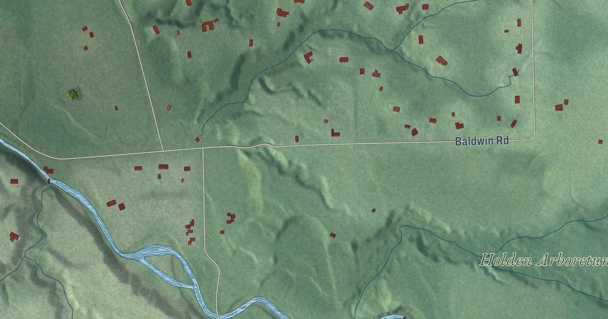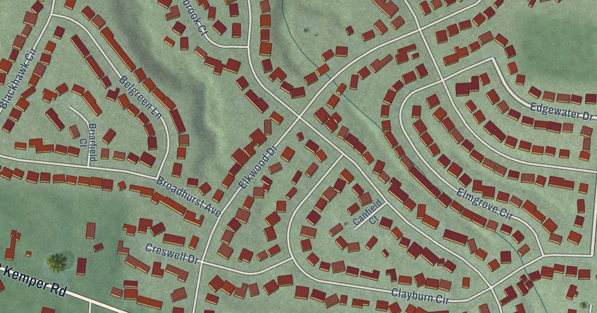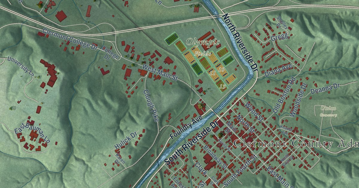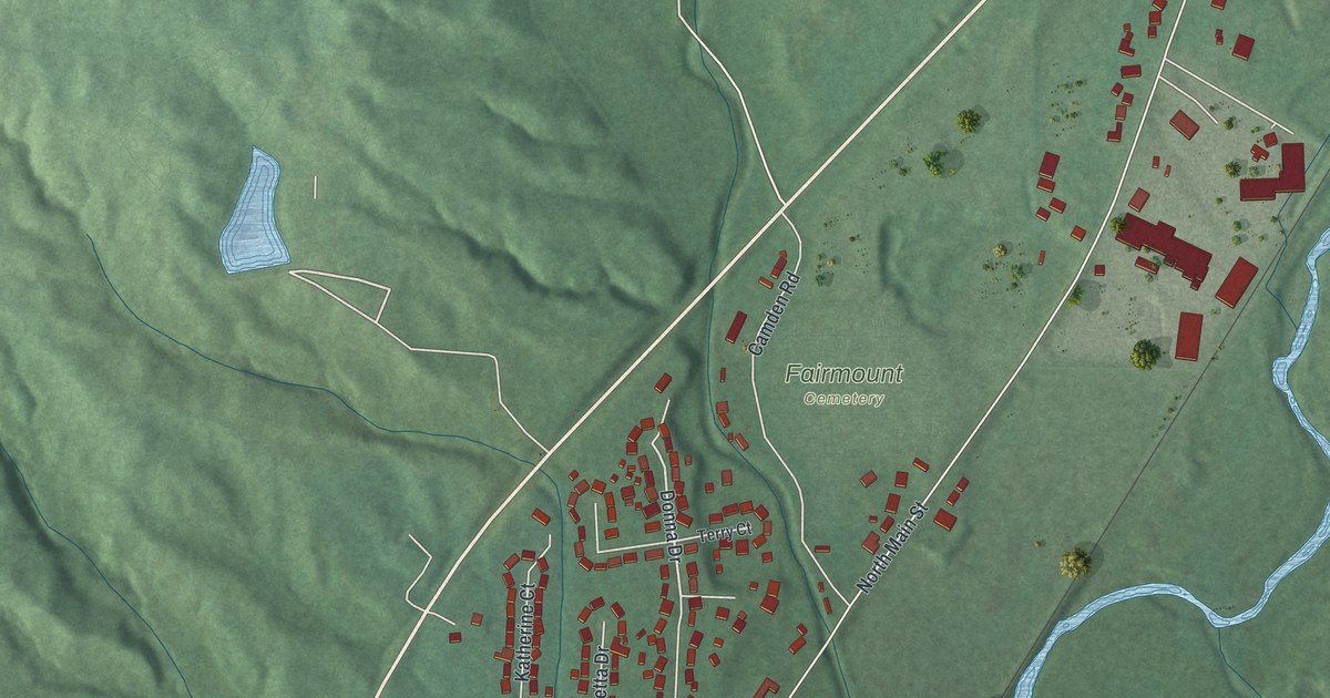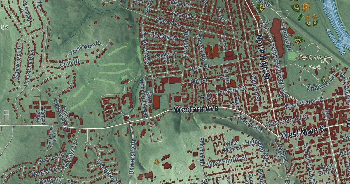
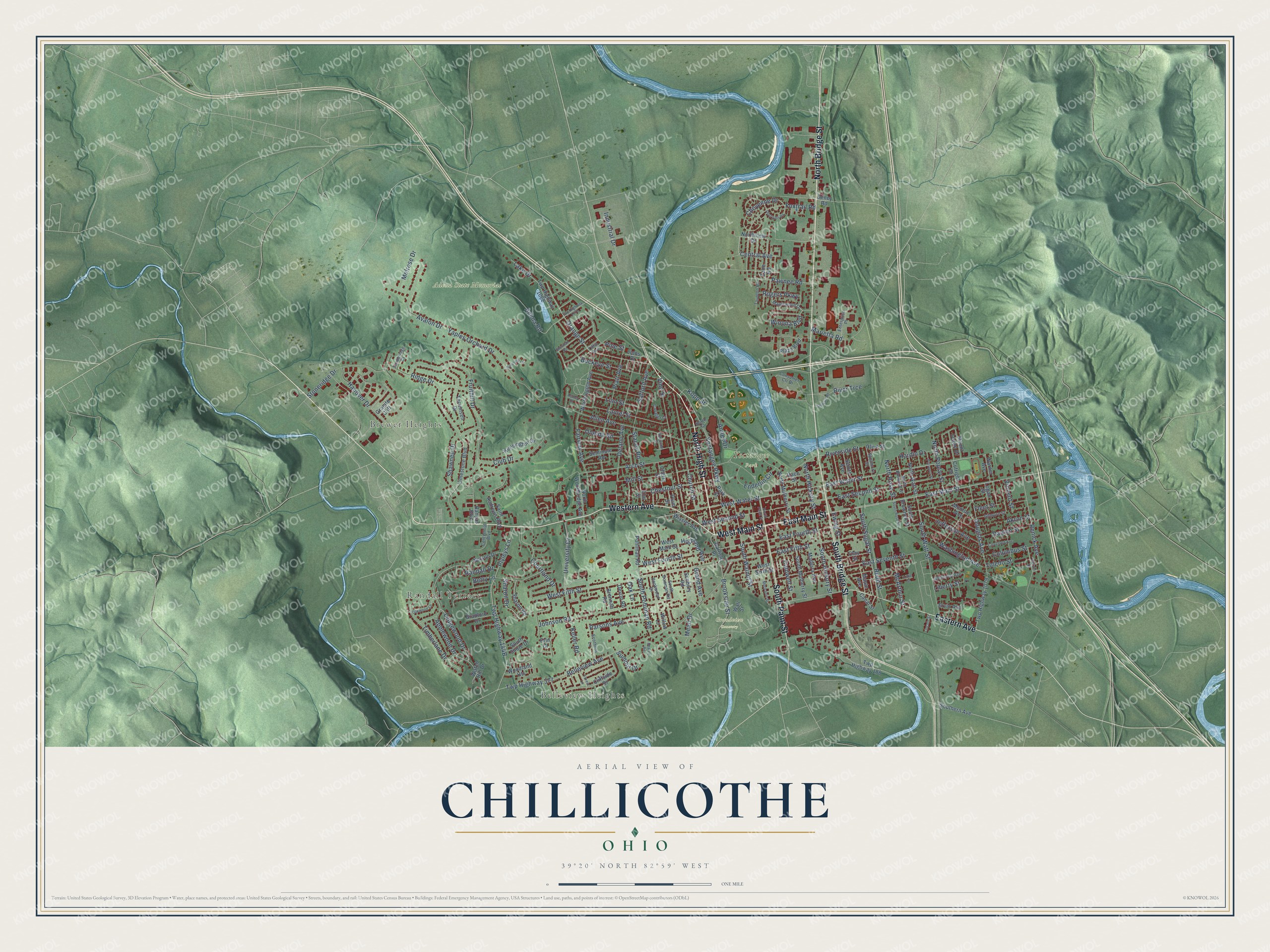
This beautifully detailed map of Chillicothe, Ohio was created in 2026 using aerial imagery combined with modern topographical, census, street and landmark data. It’s a one-of-a-kind view of Chillicothe that combines accurate data with a vintage aesthetic. The map shows every building in its true location, many of the roads carry their names, and the shaded topographic relief shows the shape of the land.
Explore an aerial view of Chillicothe, Ohio
On the map you’ll find Belleview Heights, Brewer Heights, Adena State Memorial, Grandview Cemetery, and Yoctangee Park, along with Randall Terrace, North High Street, East Main Street, West Main Street, North Bridge Street, Western Avenue, South Paint Street, and more. If you look closely you can even find your house accurately drawn in its correct location. Zoom in on the preview to look for yours.
Did you know this piece of Chillicothe, Ohio history?
General Nathaniel Massie led the party that founded Chillicothe in 1796. The name comes from a Shawnee word meaning principal town. Chillicothe became the first capital of Ohio at statehood in 1803. It served until 1810, and again from 1812 to 1816.
Take a closer look at the Chillicothe map
Street and place names on the Chillicothe, Ohio map
These names are printed on the map of Chillicothe, Ohio.
Places: Belleview Heights, Randall Terrace, Brewer Heights, Adena State Memorial, Grandview Cemetery and Yoctangee Park.
Streets and roads: Western Avenue, North Bridge Street, North High Street, East Main Street, West Main Street, South Paint Street, South Bridge Street, Eastern Avenue, East Water Street, Orange Street, Yoctangee Parkway, West Fifth Street.
More street names, A to Z
Adena Road, Akron Street, Allen Avenue, Annex Drive, Applewood Drive, Arch Street, Ashley Drive, Avalon Drive, Banyas Boulevard, Bearce Road, Belleview Avenue, Betty Lane, Bradford Drive, Brennan Road, Brookside Street, Buckeye Street, Caldwell Street, Canal Street, Carlisle Place, Cavalier Court, Centennial Boulevard, Central Avenue, Cherry Street, Chestnut Street, Cheyenne Drive, Church Street, Clay Street, Cleveland Avenue, Cliffside Drive, Club Drive, Columbus Street, Consumer Ctr Drive, Courtland Drive, Cutright Drive, Dayton Street, Deerpath Road, Delano Avenue, Devon Road, Douglas Avenue, East Fifth Street, East Fourth Street, East Second Street, East Seventh Street, Elm Street, Enderlin Circle, Enterprise Place, Erin Court, Ervin Avenue, Ewing Street, Fairway Avenue, Fleet Street, Forest Lane, Foxtrail Road, Fruithill Drive, Gilmore Street, Glencroft Avenue, Grand Avenue, Granite Cliff, Hanover Drive, Hardin Drive, Highland Avenue, Industrial Drive, Jefferson Avenue, Johnson Road, Keller Road, Kensington Drive, Kopp Street, Lake Drive, Laurel Street, Ledgewood Drive, Liberty Street, Lillie Street, Limestone Boulevard, Lincoln Street, Linn Street, Lions Drive, Logan Street, Madeira Avenue, Maple Avenue, Maplewood Drive, Marietta Road, McArthur Street, Mead Drive, Mechanic Street, Melrose Drive, Mill Street, Monroe Avenue, Mount Logan Drive, Nelson Drive, North Brownell Street, North Hickory Street, North Mulberry Street, North Paint Street, North Poplar Street, North Rose Street, North Street, Northview Drive, North Watt Street, North Woodbridge Avenue, Oak Lane, Oakwood Lane, Olive Street, Oneida Road, Park Street, Parsons Avenue, Pawnee Road, Piatt Avenue, Pine Street, Plaza Boulevard, Plum Street, Plyleys Lane, Pohlman Road, Prospect Street, Race Street, Randall Drive, Redd Street, Renick Avenue, Ridge Drive, Ringwald Street, Riverside Street, River Trce, Rogers Parkway, Rookwood Drive, Safford Avenue, Saint Andrews Boulevard, Scioto Avenue, Scothorn Lane, Seminole Road, Seney Road, Sharon Drive, Sharon Road, Shawnee Drive, Sherman Road, South Bowman Road, South Brownell Street, Southern Avenue, South Hickory Street, South Mulberry Street, South Pohlman Road, South Rose Street, South Shore Drive, South Sugar Street, South Walnut Street, South Watt Street, Stacey Road, Stewart Road, Stoneridge Drive, Summit Drive, Sunbury Road, Suncrest Lane, Sycamore Street, Taunton Road, Tecumseh Drive, Tiffin Avenue, Timberidge Court, Timberlane Drive, Toledo Street, Twp Highway 188, Twp Highway 377, Twp Highway 1068, Twp Highway 1070, Twp Highway 1079, University Drive, Vincent Street, Vine Street, Wall Street, Warner Avenue, Washington Avenue, Watch Hill Drive, West Fourth Street, West Second Street, West Sixth Street, West Water Street, Wetzel Drive, Willow Lane, Winona Boulevard, Wissler Avenue, Woodland Heights, Worthington Avenue, Yaples Orchard Drive, Zane Road.
See the Chillicothe, Ohio map on a wall
The Chillicothe map as an 18 x 24 inch print in a black frame.

This beautifully detailed map of Chillicothe makes an attractive addition to your office, library, or den, and it can even be used to teach children the geography and history of the area. It also makes a great gift for anyone who grew up in Chillicothe or moved away. When you’re done exploring, click here to get your copy of the Chillicothe map.