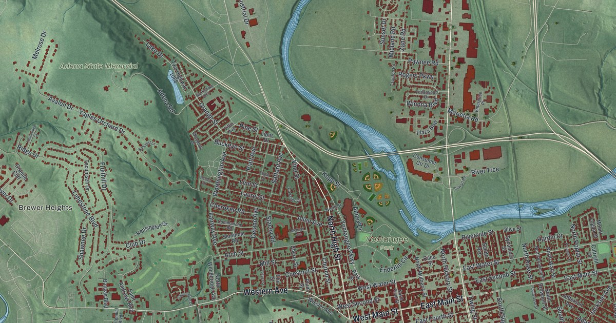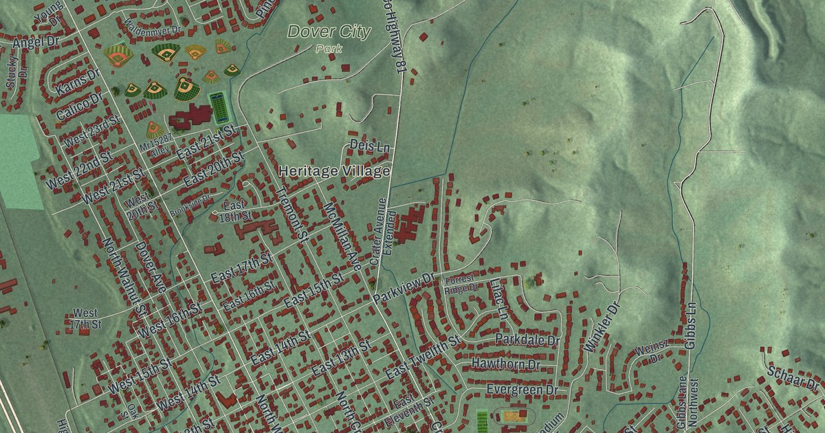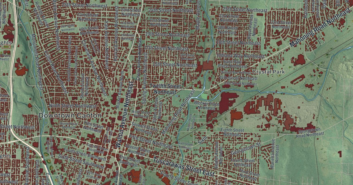
If you grew up in Canton, or your family still lives off Market Avenue or Tuscarawas Street, this map is full of streets you know. It's a modern aerial view of Canton in Stark County, Ohio, built from modern data and given a vintage look. Downtown Canton sits near the middle of the sheet. More than 62,000 buildings are marked in dark red around it. Neighborhoods like Edgefield, Crystal Park and Harter Heights spread out from there, and green shaded hills fill the edges. Two lakes aren't labeled, but you'll spot them in pale blue at the left and upper right. Explore the print options for Canton.
Downtown Canton, Market Avenue North and Tuscarawas Street
Start at Downtown Canton, near the middle of the sheet. Market Avenue North runs straight up from there toward Willow Brook Heights near the top. Back downtown, Tuscarawas Street West heads west past Lincoln Heights and Harter Heights. Tuscarawas Street East goes the other way. On the east side, Mahoning Road Northeast cuts up to the northeast past Crystal Park. Above it, Atlantic Boulevard Northeast runs past Pleasant View. Georgetown Street heads east toward Lynn Center Park on the right side of the sheet, and Thunderbird Terrace sits below it. Down in the lower left, Faircrest Street Southwest runs near Banker Heights. Industrial Heights is at the bottom center. Many roads are labeled, and each dark red shape is a building, so zoom in on the preview and look for yours.
Market Avenue North has a famous address. A state historical marker stands at 715 Market Avenue North. It marks where William McKinley's house once stood. In 1896, McKinley ran for president from that house. It was called his front porch campaign. The marker says about 750,000 people came to his home in Canton to hear him. He won that year, and again in 1900. His public life started in 1861, when he joined the Union Army as a private. He left four years later as a major. Back in Canton, he was the Stark County prosecutor, and he helped start the Canton Public Library.
McKinley was shot in Buffalo, New York, in September 1901 and died several days later. Children's donations paid for the McKinley National Memorial, which was dedicated in 1907. He's buried there with Ida Saxton McKinley, the first lady, and two daughters. The memorial is made of pink granite. It isn't labeled on this map, and neither is the old house site. Follow Market Avenue North up from downtown, though, and you're on the street those crowds came to.
Keeping Canton close, from Edgefield to Banker Heights
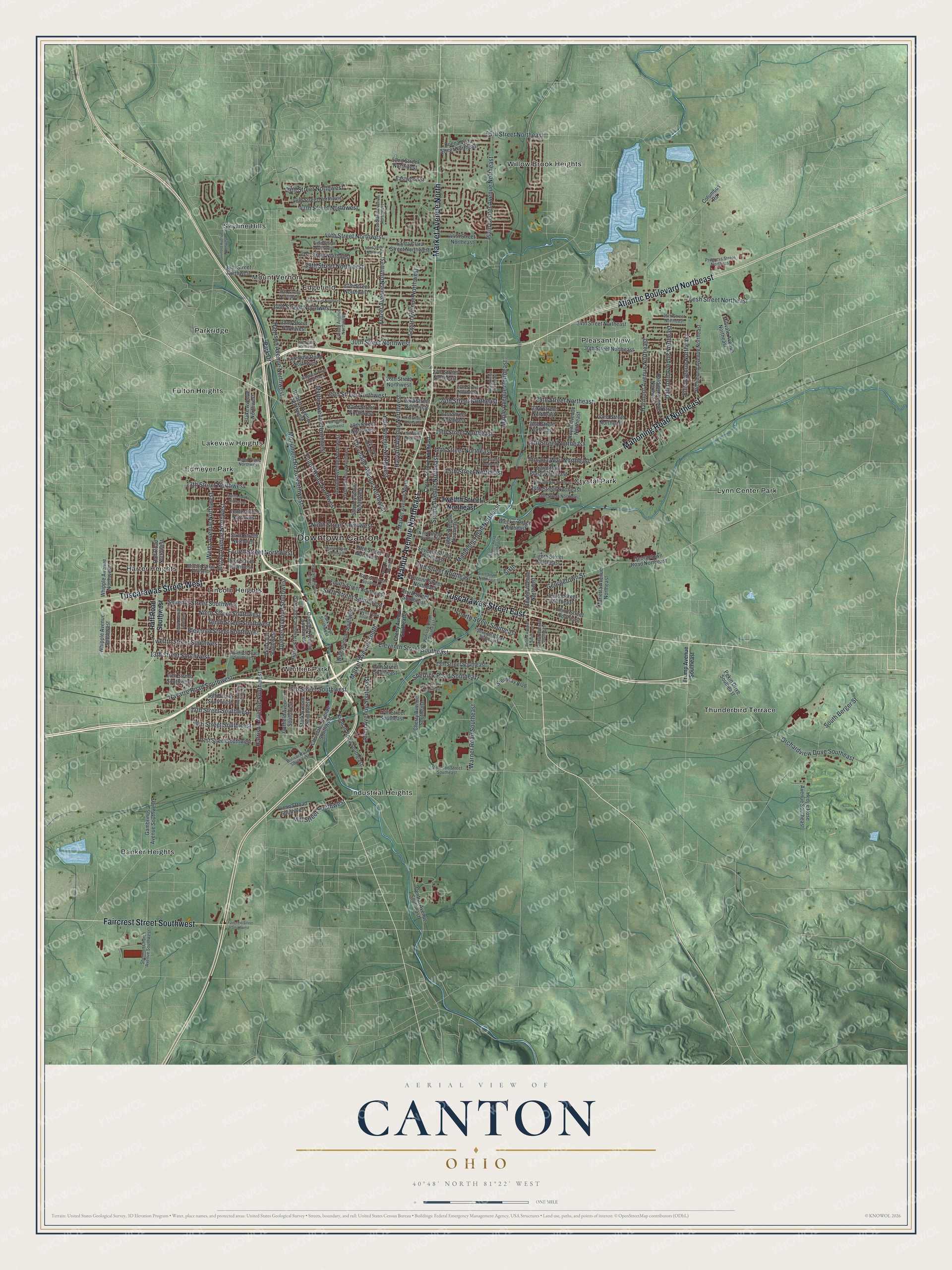
Created by KNOWOL in 2026, the Canton print shows the city in deep red on soft green hills. The hill shading comes from USGS elevation data, and the streets come from Census Bureau records. Lakes and streams are pale blue. The title panel reads "Aerial View of Canton, Ohio," with 40°48' North 81°22' West and a one-mile scale bar.
It suits a den, a home office or a family room. It's a good gift for someone who grew up in Canton and moved away, or for a parent who still lives on the north end. Open the preview, find Downtown Canton and follow Market Avenue North up the sheet. Shop the Canton, Ohio map.