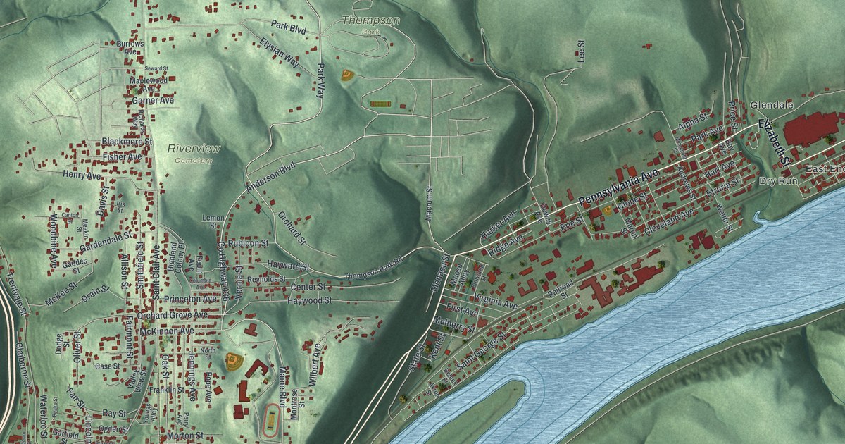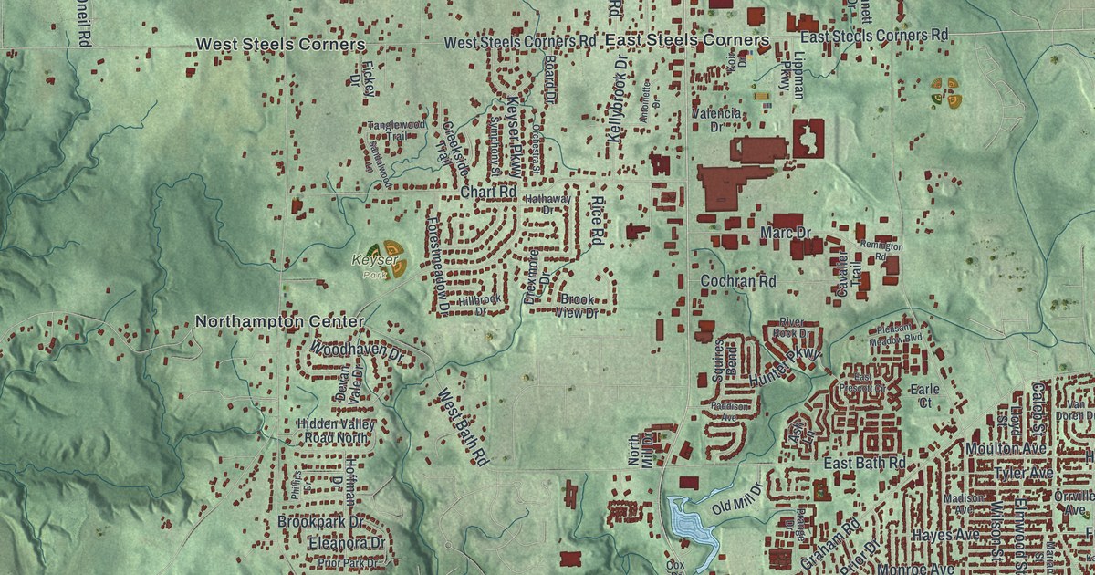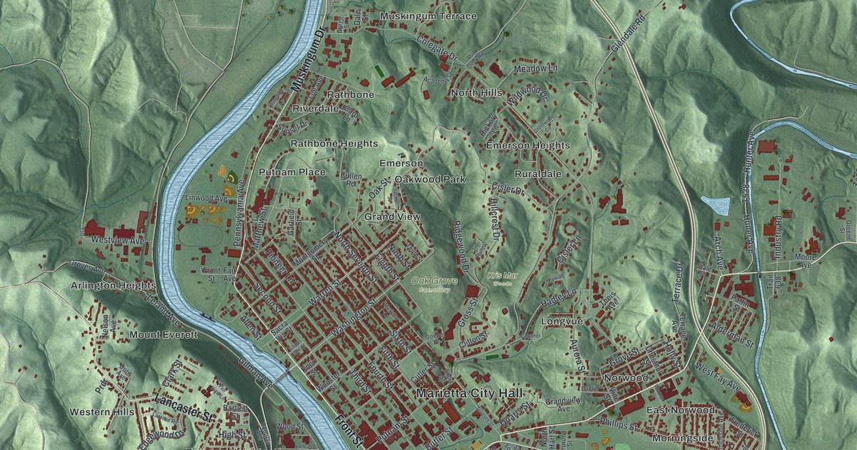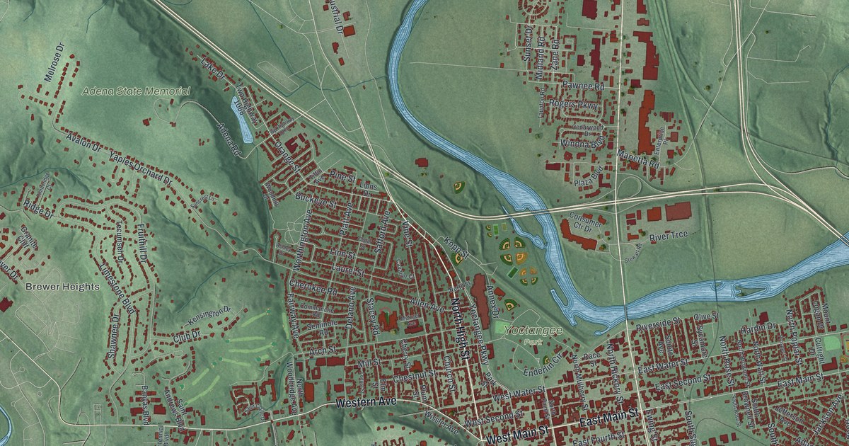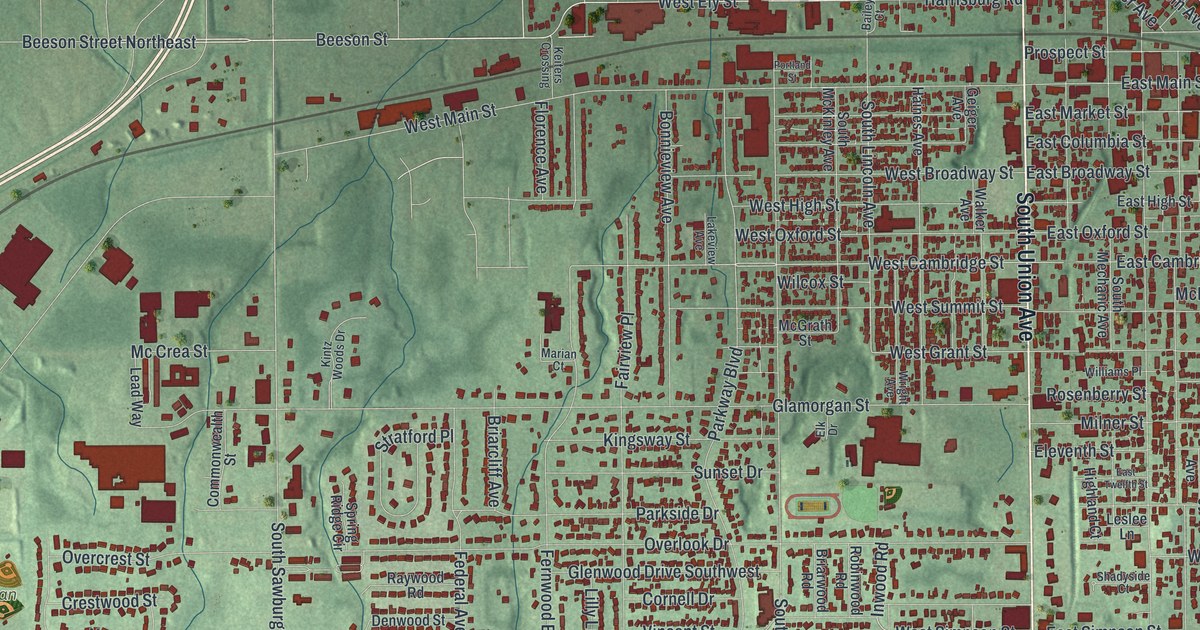
If you grew up in Alliance, went to school at Mount Union, or still drive Union Avenue every day, this map gives you plenty to find. It's a modern aerial view of Alliance in Stark County, Ohio, made from modern data and given a vintage look. More than 13,000 buildings are marked in deep red. They run from the old downtown by the railroad out to the curving streets of Hillcrest. Soft green hills fill the country around town. A lake and a winding stream cross the top of the sheet, though neither one is labeled. Explore the print options for Alliance.
Union Avenue, West Main Street and the Carnation City
Start at Alliance City Hall, printed on the right side of the sheet beside the railroad tracks. Head west on East Main Street until you reach Union Avenue. That's the long road that splits the town into east and west. Turn north on North Union Avenue. A few blocks to the west, off West Vine Street, you'll find Alliance City Cemetery. Now come back and follow South Union Avenue down. Where it crosses State Street, look just above the corner and a little to the east for the Mount Union label. Keep going south and Silver Park is printed off to the east. Back at that corner, West State Street runs all the way to the left edge. It passes Hillcrest on the south side, then Butler Rodman Park farther out. Out on the right edge, Alden Park sits near Milner Street. Many of the roads are labeled, and each red shape is a building, so zoom in on the preview and look for yours.
Alliance is called the Carnation City, and the story starts on West Main Street. In 1866, Dr. Levi Lamborn grew scarlet carnations from French seedlings in greenhouses there. He was a doctor, a gardener and a politician. In 1876 he ran for Congress against William McKinley. Before each debate, Lamborn gave McKinley a carnation for his lapel. McKinley won those debates. He kept wearing the flower for luck, even as president. In 1901, at a fair in Buffalo, he took the carnation off and gave it to a young admirer. Moments later, an assassin shot him, and he died from the wound. In 1904, Ohio made the scarlet carnation its state flower. In 1959, the Ohio Legislature named Alliance "The Carnation City." The Ohio History Connection's marker tells the story at 57 West Main Street, where the Salvation Army stands today.
Find West Main Street on the map, just west of Union Avenue near the tracks. That's where the greenhouses stood. The map also prints a short Lamborn Avenue near the middle of town, though the marker doesn't say if it was named for the doctor. The town itself began a little farther east. In 1851, two railroads met there, one running east to west and one running southeast to northwest. People called the spot "the crossing." It became the Village of Alliance in 1854. Another Remarkable Ohio marker stands on South Webb Avenue, and on the map you can still see the two lines of track meet right by the Alliance City Hall label.
For anyone who knows Union Avenue and Mount Union
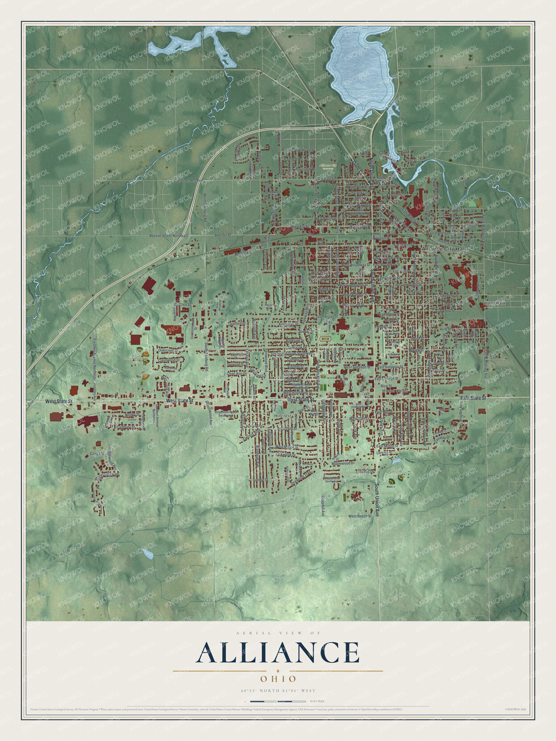
Created by KNOWOL in 2026, this Alliance map shows the town's buildings in deep red over soft green hills. The shaded hills come from USGS elevation data. The title panel reads "Aerial View of Alliance, Ohio," with the coordinates 40°55' North, 81°06' West and a half-mile scale bar.
It fits well in an office, a den or a kitchen. It's a thoughtful gift for a Mount Union graduate, for someone who grew up in Alliance and moved away, or for family still in town. Open the preview, zoom in and find a street you know. Shop the Alliance, Ohio map.