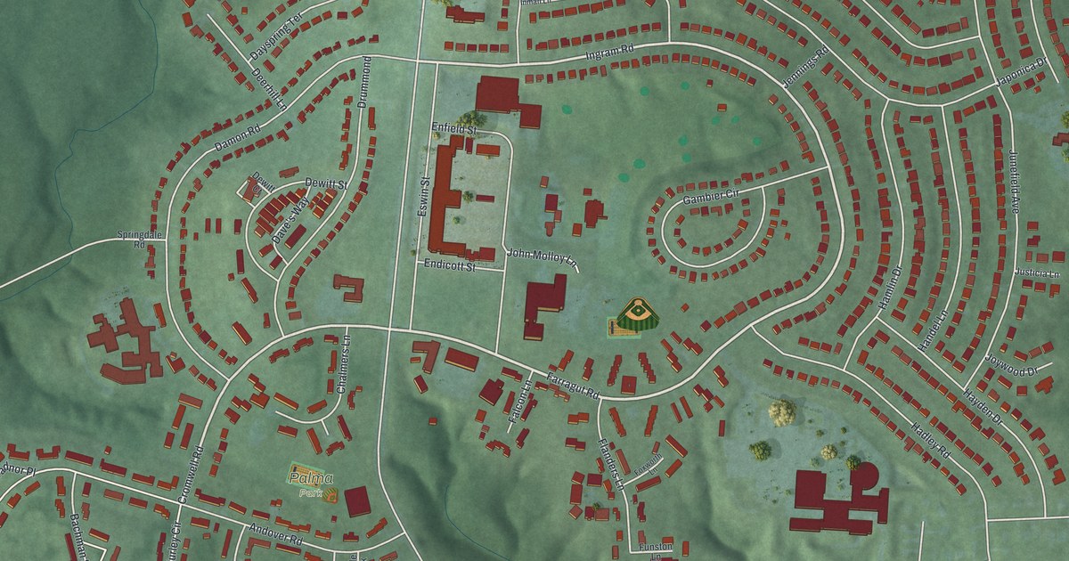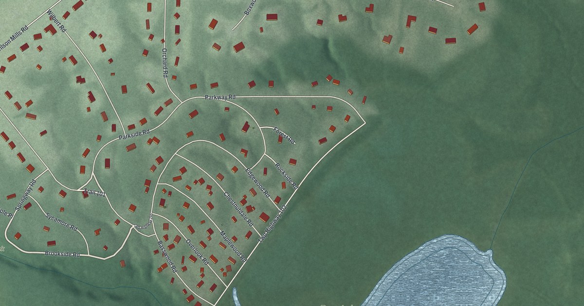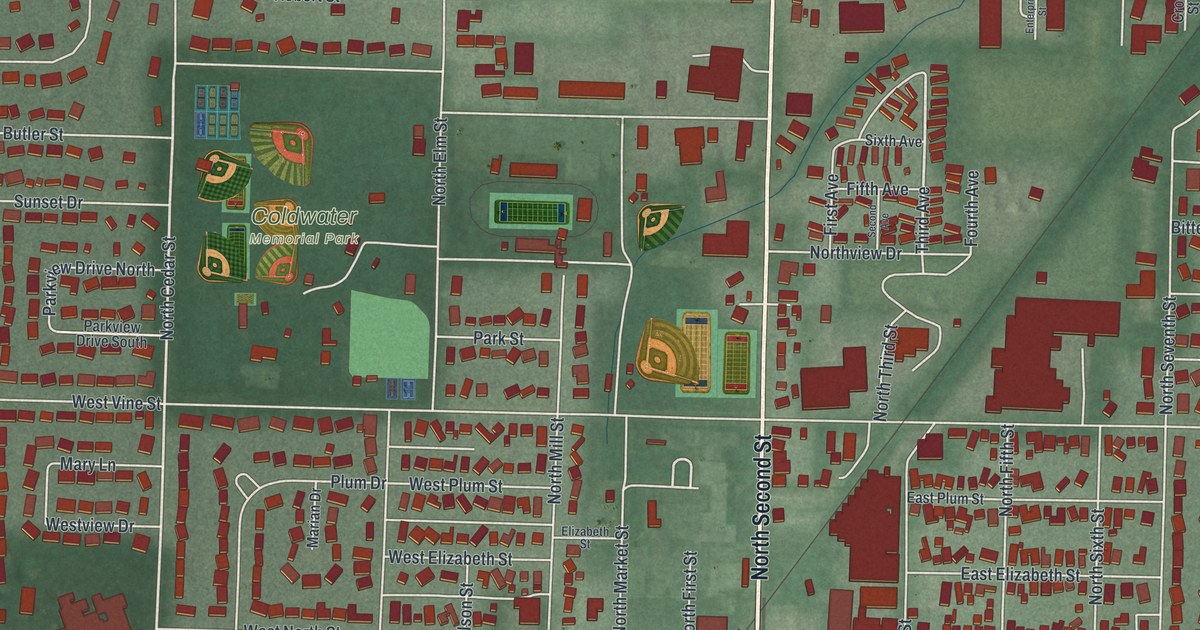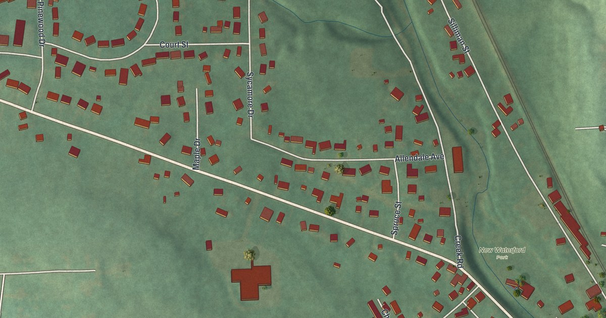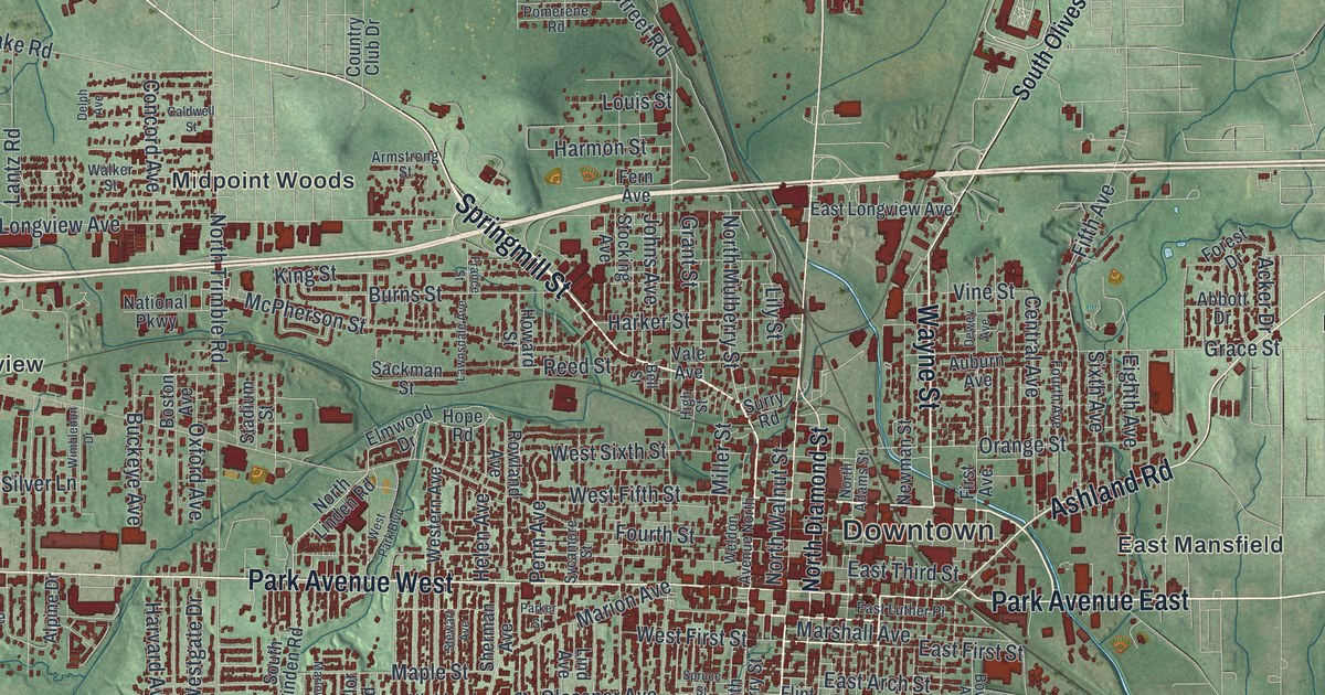
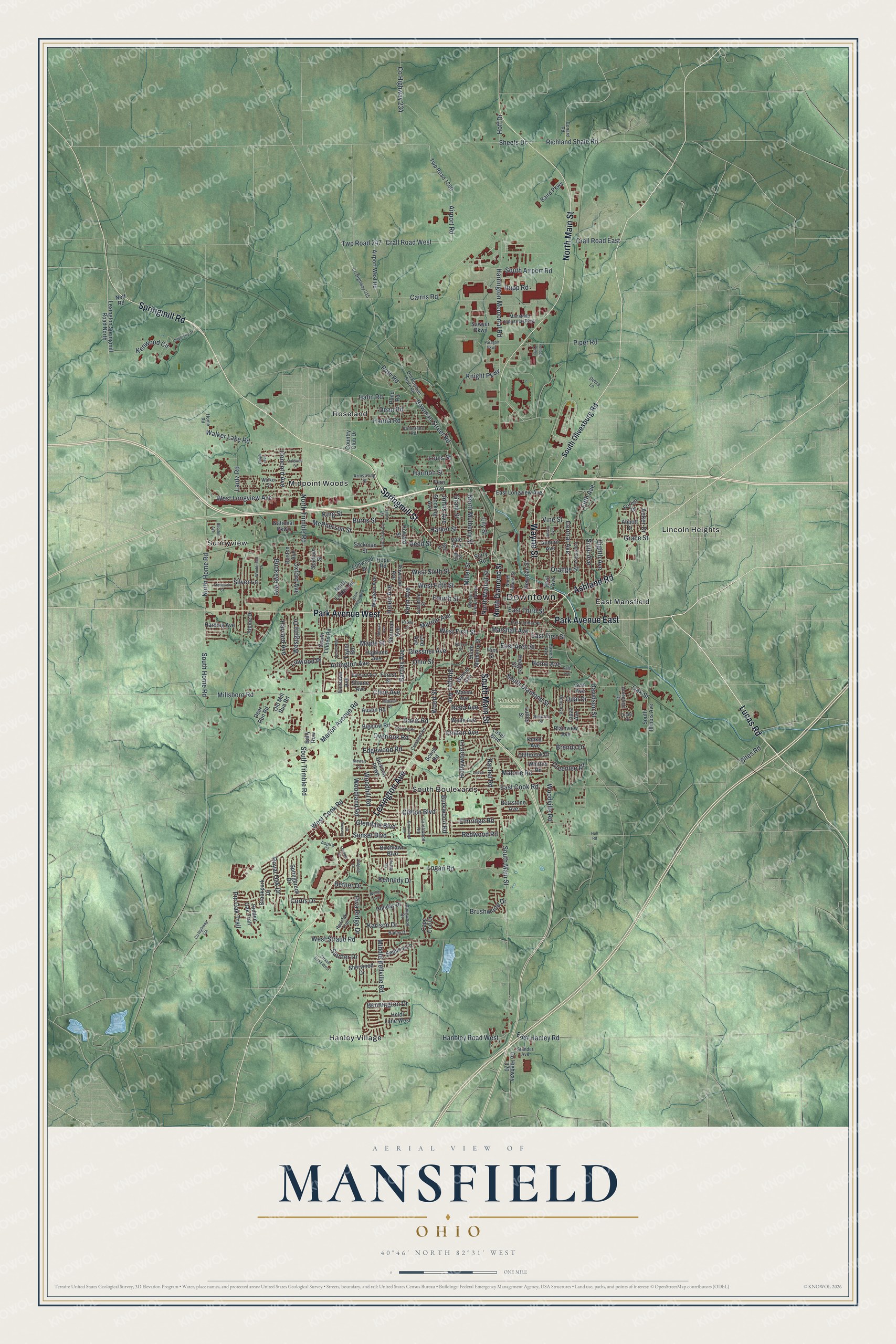
This beautifully detailed map of Mansfield, Ohio was created in 2026 using aerial imagery combined with modern topographical, census, street and landmark data. It’s a one-of-a-kind view of Mansfield that combines accurate data with a vintage aesthetic. The map shows every building in its true location, many of the roads carry their names, and the shaded topographic relief shows the shape of the land.
Explore an aerial view of Mansfield, Ohio
On the map you’ll find Downtown, Mansfield Cemetery, East Mansfield, Hanley Village, Lincoln Heights, Midpoint Woods, Roseland, South Boulevards, and Sunnyview, along with Springmill Street, Lucas Road, Springmill Road, and more. If you look closely you can even find your house accurately drawn in its correct location. Zoom in on the preview to look for yours.
Did you know this piece of Mansfield, Ohio history?
The city honors Colonel Jared Mansfield, the U.S. Surveyor General who oversaw its plan. James Hedges, Joseph Larwell and Jacob Newman laid out the town in June 1808. During the War of 1812, settlers raised two blockhouses on the public square in one night. One blockhouse now stands in South Park.
Take a closer look at the Mansfield map
Street and place names on the Mansfield, Ohio map
These names are printed on the map of Mansfield, Ohio.
Places: Downtown, Mansfield Cemetery, East Mansfield, Hanley Village, Lincoln Heights, Midpoint Woods, Roseland, South Boulevards and Sunnyview.
Streets and roads: Springmill Street, Lucas Road, Springmill Road, South Main Street, Lexington Avenue, North Main Street, Park Avenue West, Ashland Road, Park Avenue East, Wayne Street, North Mulberry Street, Hanbley Road West.
More street names, A to Z
Abbott Drive, Acker Drive, Airport Road, Airport West Road, Alpine Drive, Arlington Avenue, Armstrong Street, Aspira Court, Auburn Avenue, Austin Road, Bailey Drive, Baird Parkway, Bally Row, Barnard Avenue, Bartley Avenue, Bell Street, Bennington Drive, Betner Drive, Betzstone Avenue, Bigelow Road, Birchlawn Boulevard, Boston Avenue, Bowers Avenue, Bowman Street Road, Brenda Drive, Briarwood Road, Brookpark Drive, Brushwood Drive, Buckeye Avenue, Burkwood Road, Burns Street, Cairns Road, Caldwell Street, Cape Cod Drive, Central Avenue, Chilton Avenue, Cliffbrook Drive, Clifton Boulevard, Cline Avenue, Conard Road, Concord Avenue, Country Club Drive, County Highway 134, County Highway 215, County Highway 234, County Highway 320, Crall Road East, Crall Road West, Crescent Road, Cunning Drive, Curtis Drive, Dale Avenue, Davidson Street, Davis Road, Dean Road, Debra Lane, Deer Run Road, Delph Avenue, Dewey Avenue, Diane Drive, Dickson Parkway, Dougwood Drive, East Arch Street, East Cook Road, East First Street, East Hanley Road, East Longview Avenue, East Luther Place, East Third Street, Edgewood Road, Eighth Avenue, Elmridge Road, Elmwood Drive, Fairlawn Avenue, Fern Avenue, Fifth Avenue, First Avenue, Flint Street, Forest Drive, Forest Street, Fourth Avenue, Fourth Street, France Street, Frederick Court, Gem Avenue, Glendale Boulevard, Glessner Avenue, Grace Street, Grant Street, Greenfield Drive, Greenlee Road, Hahn Road, Hanna Road, Harding Avenue, Harker Street, Harmon Street, Harrington Memorial Road, Harvard Avenue, Hedges Street, Heidi Lane West, Helen Avenue, Hidden Oak Trail, Highland Avenue, High Street, Hoff Drive, Holiday Drive, Hollywood Lane, Home Avenue, Home Road, Hope Road, Howard Street, Hull Road, Johns Avenue, Karlson Drive, Kennedy Drive, Kenwood Circle, King Street, Kinkel Avenue, Knapp Road, Knight Parkway, Lantz Road, Larchwood Road, Laser Boulevard, Lawnsdale Avenue, Leppo Lane, Lexdale Lane, Lexington Springmill Road North, Lily Street, Lind Avenue, Linwood Place, Logan Road, Louis Street, Luther Street, Malone Road, Mansfield Industrial Parkway, Maple Street, Marion Avenue, Marion Avenue Road, Marlow Road, Marshall Avenue, Massa Avenue, McPherson Street, Middle Bellville Road, Midland Drive, Miller Street, Millsboro Road, National Parkway, Neff Road, Newman Street, North Adams Street, North Diamond Street, North Home Road, North Linden Road, North Trimble Road, North Walnut Street, Oak Street, Ohio Street, Old Bowman State Road, Old Mill Run Road, Opal Drive, Orange Street, Overlook Road, Oxford Avenue, Paragon Parkway, Parker Street, Penn Avenue, Pin Oak Trail, Piper Road, Plainview Avenue, Pollock Parkway, Pomerene Road, Pond Road, Poth Road, Rachel Road, Reba Avenue, Red Oak Trail, Redwood Road, Reed Street, Reform Street, Rhodes Avenue, Richland Shale Road, Riva Ridge Drive, Rowland Avenue, Royal Oak Drive, Ruby Avenue, Rupp Road, Sackman Street, Sautter Drive, Sawyer Parkway, Scholl Road, Sequoia Lane, Sheets Drive, Shepard Road, Sherman Avenue, Sherwood Drive, Silver Lane, Sites Road, Sixth Avenue, Sloane Avenue, South Airport Road, South Diamond Street, South Home Road, South Illinois Avenue, South Linden Road, South Mulberry Street, South Olivesburg Road, South Trimble Road, Springbrook Drive, Spruce Street, Stadium Street, Stander Avenue, Stewart Avenue, Stewart Lane, Stocking Avenue, Straub Road West, Sturges Avenue, Sunset Boulevard, Surry Road, Sycamore Street, Taylor Road, Topaz Avenue, Twp Road 247, Twp Road 1300, University Drive, Vale Avenue, Vine Street, Walker Lake Road, Walker Street, Weldon Avenue North, Weller Avenue, West Cook Road, Western Avenue, West Fifth Street, West First Street, Westgate Drive, West Longview Avenue, West Park Boulevard, West Sixth Street, West Straub Road, Whittier Road, Wilging Drive, Wilmar Avenue, Wimbledon Drive, Wolfe Avenue, Woodhill Road, Woodland Road, Wood Street, Woodville Road.
See the Mansfield, Ohio map on a wall
The Mansfield map as an 18 x 24 inch print in a black frame.

This beautifully detailed map of Mansfield makes an attractive addition to your office, library, or den, and it can even be used to teach children the geography and history of the area. It also makes a great gift for anyone with Mansfield roots. When you’re done exploring, click here to get your copy of the Mansfield map.