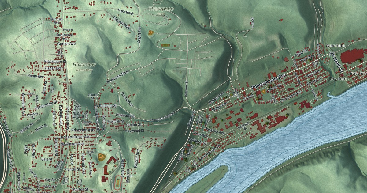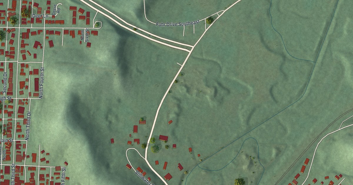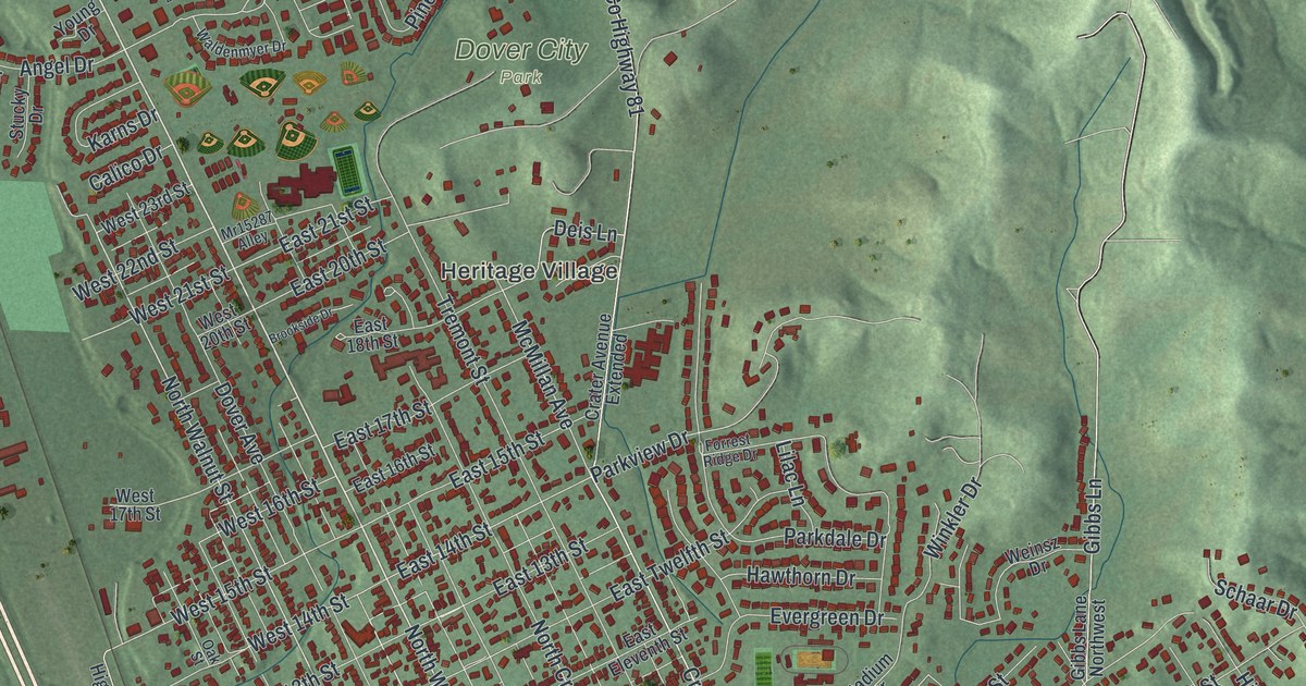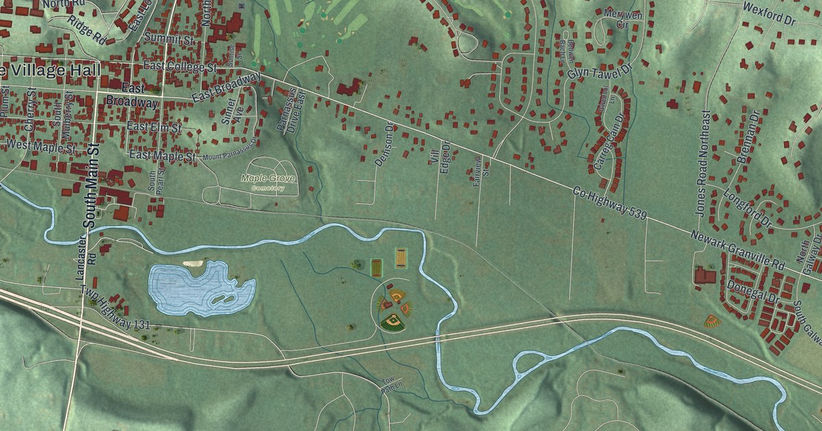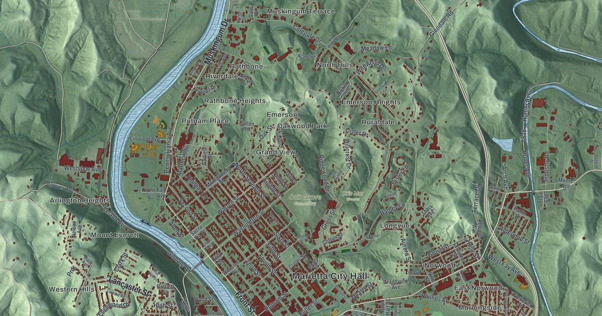
If you grew up in Marietta, went to Marietta College, or still have family on the hills above the rivers, this map gives you a lot to find. It's a modern aerial view of Marietta in Washington County, Ohio, made from modern data and given a vintage look. The Muskingum River comes down the middle of the sheet and meets the Ohio River near the bottom. Downtown fills the point between them, Harmar sits across the Muskingum, and green hills fold in all around. More than 9,600 buildings are drawn in deep red. Explore the print options for Marietta.
From Front Street to Harmar and Lancaster Street
Start at Marietta City Hall, printed near the bottom center of the map. Front Street runs past it and down toward the Ohio. Near the river, Front Street meets Ohio Street and Greene Street. Greene Street heads east past Norwood and East Norwood. Pike Street branches off to the lower right, out toward Gunlock Park. Now go back to Front Street and follow it north along the Muskingum. It crosses Putnam Street and Washington Street, then meets Muskingum Drive. Muskingum Drive keeps going up the river past Riverdale and Rathbone to Muskingum Terrace. Across the Muskingum is Harmar, with Gilman Avenue, Maple Street and Fort Street. From there, Lancaster Street climbs northwest into the hills past Fairview Heights, Mount Everett and Arlington Heights. The two rivers aren't labeled, but you can't miss them. Many roads are named, and each red shape is a building, so zoom in on the preview and look for yours.
When Meriwether Lewis stopped in Marietta in 1803
Marietta was founded in 1788 at the mouth of the Muskingum River. General Rufus Putnam and other veterans of the Revolutionary War led the way. Fifteen years later, on September 13, 1803, Meriwether Lewis came down the Ohio River on a keelboat. It was the start of his trip to explore the West. One of his crew was George Shannon of Barnesville. He was 18, and he's the only member of the Corps of Discovery known to have come from Ohio. In Marietta, Lewis wrote a letter to President Thomas Jefferson. He also wrote in his journal that the local postmaster, Colonel Green, came to see him that evening. The next day, the party camped one mile above the mouth of the Little Kanawha River, still in Washington County. An Ohio historical marker in Harmar tells the story.
The marker stands on the river side of Fort Street. Find Fort Street on the map in Harmar, near where the Muskingum runs into the Ohio. Fort Square and Fort Harmar Drive are printed close by. Now follow the wide blue Ohio from there toward the lower left corner of the sheet. That's downstream, the way Lewis and his keelboat went.
For someone who knows Front Street and Harmar
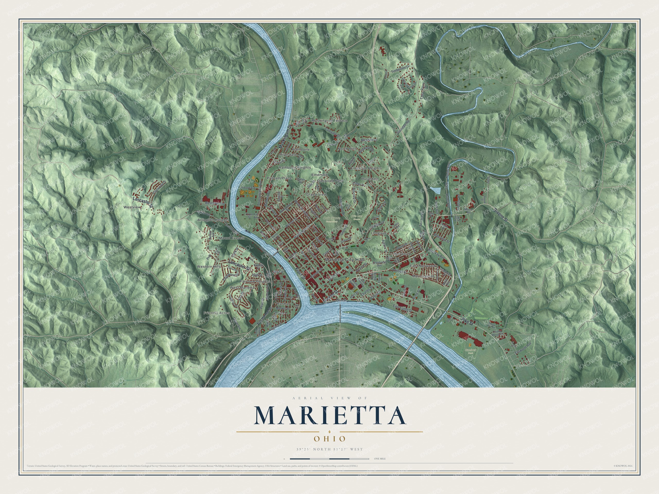
Created by KNOWOL in 2026, this Marietta map shades the hills in soft green from USGS elevation data. The rivers run in pale blue, and the buildings are drawn in deep red. The title panel reads "Aerial View of Marietta, Ohio" with the coordinates 39°25' North, 81°27' West and a one-mile scale bar.
It suits a home office, a den or a family room. It's a thoughtful gift for someone who grew up in Marietta, a Marietta College graduate, or family who moved away from the river town. Open the preview, zoom in and follow Front Street to a block you know. Shop the Marietta, Ohio map.