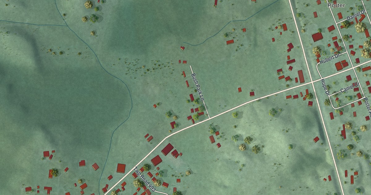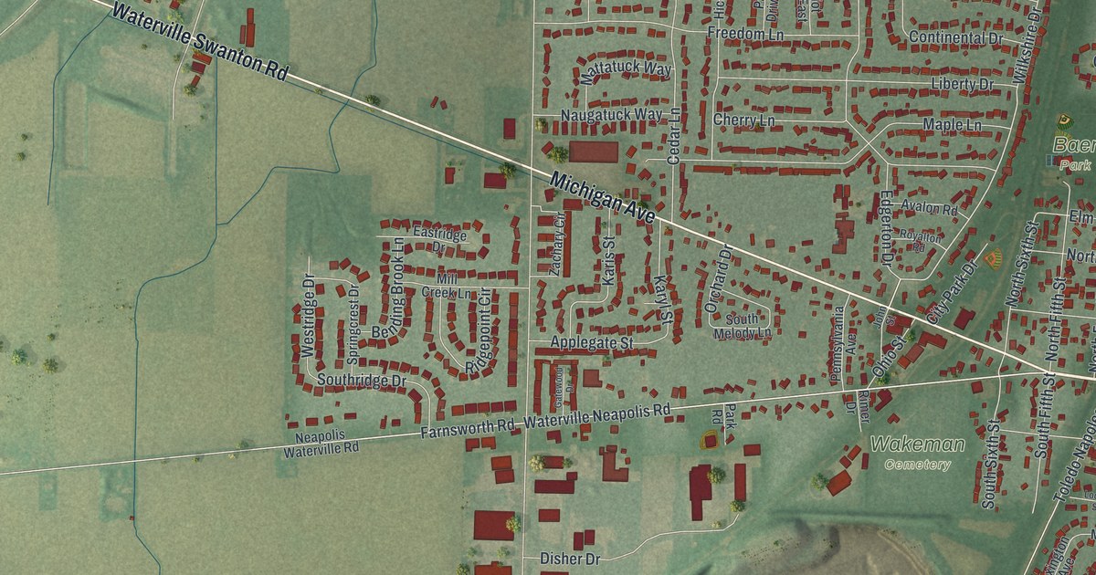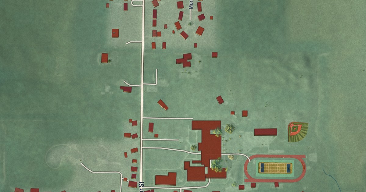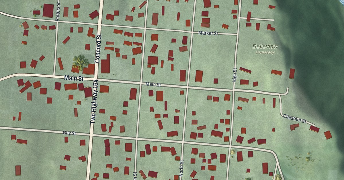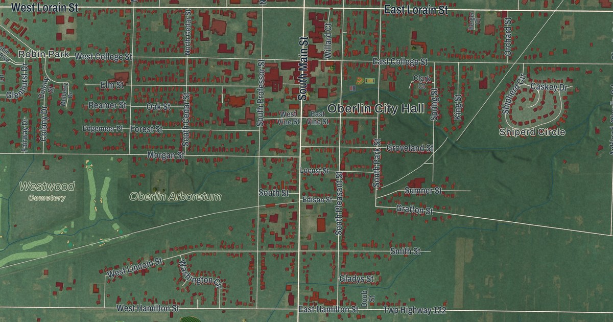
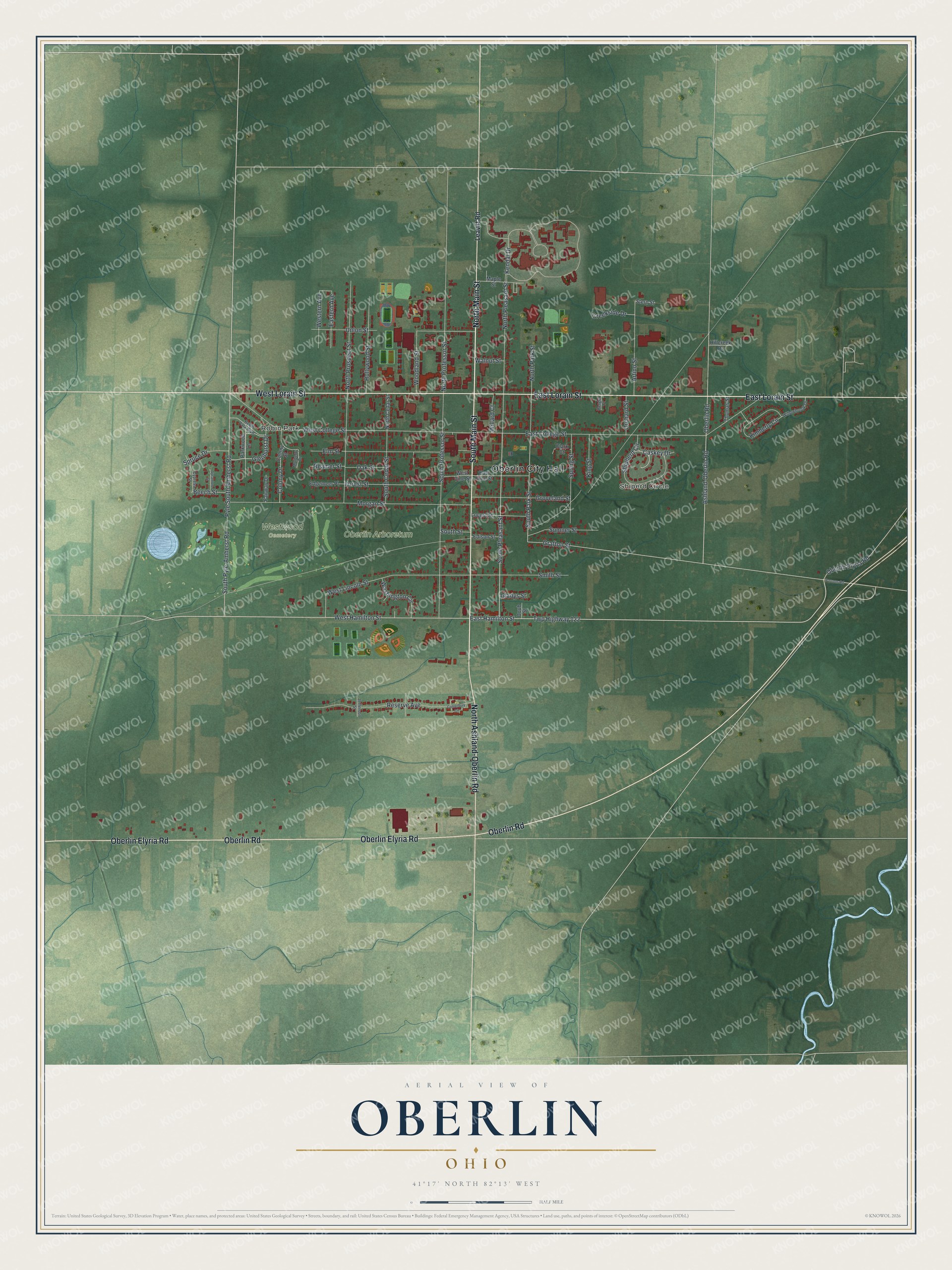
This beautifully detailed map of Oberlin, Ohio was created in 2026 using aerial imagery combined with modern topographical, census, street and landmark data. It’s a one-of-a-kind view of Oberlin that combines accurate data with a vintage aesthetic. The map shows every building in its true location, many of the roads carry their names, and the shaded topographic relief shows the shape of the land.
Explore an aerial view of Oberlin, Ohio
On the map you’ll find Oberlin City Hall, Robin Park, Oberlin Arboretum, and Westwood Cemetery, along with Shiperd Circle, North Main Street, South Main Street, East Lorain Street, West Lorain Street, Oberlin Elyria Road, Oberlin Road, North Ashland-Oberlin Road, and more. If you look closely you can even find your house accurately drawn in its correct location. Zoom in on the preview to look for yours.
Did you know this piece of Oberlin, Ohio history?
John Jay Shipherd and Philo P. Stewart, both Presbyterian ministers, founded Oberlin in 1833. They planned a religious community and a school to train missionaries for the frontier. They named it for J. F. Oberlin, an Alsatian minister whose teaching work in a poor, remote area inspired them.
Take a closer look at the Oberlin map
Street and place names on the Oberlin, Ohio map
These names are printed on the map of Oberlin, Ohio.
Places: Oberlin City Hall, Shiperd Circle, Robin Park, Oberlin Arboretum and Westwood Cemetery.
Streets and roads: North Main Street, South Main Street, East Lorain Street, West Lorain Street, Oberlin Elyria Road, Oberlin Road, North Ashland-Oberlin Road, Twp Highway 122, East Hamilton Street, West Hamilton Street, South Pleasant Street, Glenhurst Drive.
More street names, A to Z
Artino Street, Ashland-Oberlin Road, Beech Street, Berger Court, Canterbury Circle, Caskey Drive, Clark Court, Colony Drive, Colony Street, Creekside Drive, Cypress Street, Doub Street, East College Street, Eastern Avenue, East Vine Street, Edgemeer Place, Edison Street, Elm Street, Fairway Drive, Forest Street, Gladys Street, Grafton Street, Groveland Street, Hillcreek Drive, Hollywood Street, Jefferson Street, Kendal Drive, Kimberly Circle, King Street, Leavitt Road, Locust Street, Maple Street, Morgan Street, Mulberry Drive, North Cedar Street, North Park Street, North Pleasant Street, North Professor Street, North Prospect Street, Oak Street, Orchard Street, Parkwood Lane, Parsons Road, Pyle South Amherst Road, Reamer Street, Reserve Avenue, Robin Park Boulevard, Shipherd Circle, Smith Street, South Cedar Street, South Park Street, South Professor Street, South Pyle-Amherst Road, South Street, Spring Street, Spruce Drive, Stern Street, Sumner Street, Sycamore Street, Thomas Street, Union Street, Walnut Street, Washington Circle, West College Street, Western Avenue, West Lincoln Street, West Vine Street, Willard Court, Willowbrook Drive, Woodland Street.
See the Oberlin, Ohio map on a wall
The Oberlin map as an 18 x 24 inch print in a black frame.

This beautifully detailed map of Oberlin makes an attractive addition to your office, library, or den, and it can even be used to teach children the geography and history of the area. It also makes a great gift for anyone who grew up in Oberlin or moved away. When you’re done exploring, click here to get your copy of the Oberlin map.