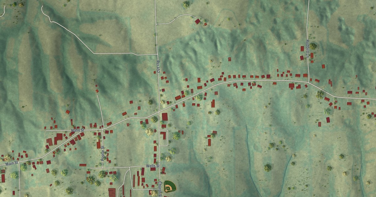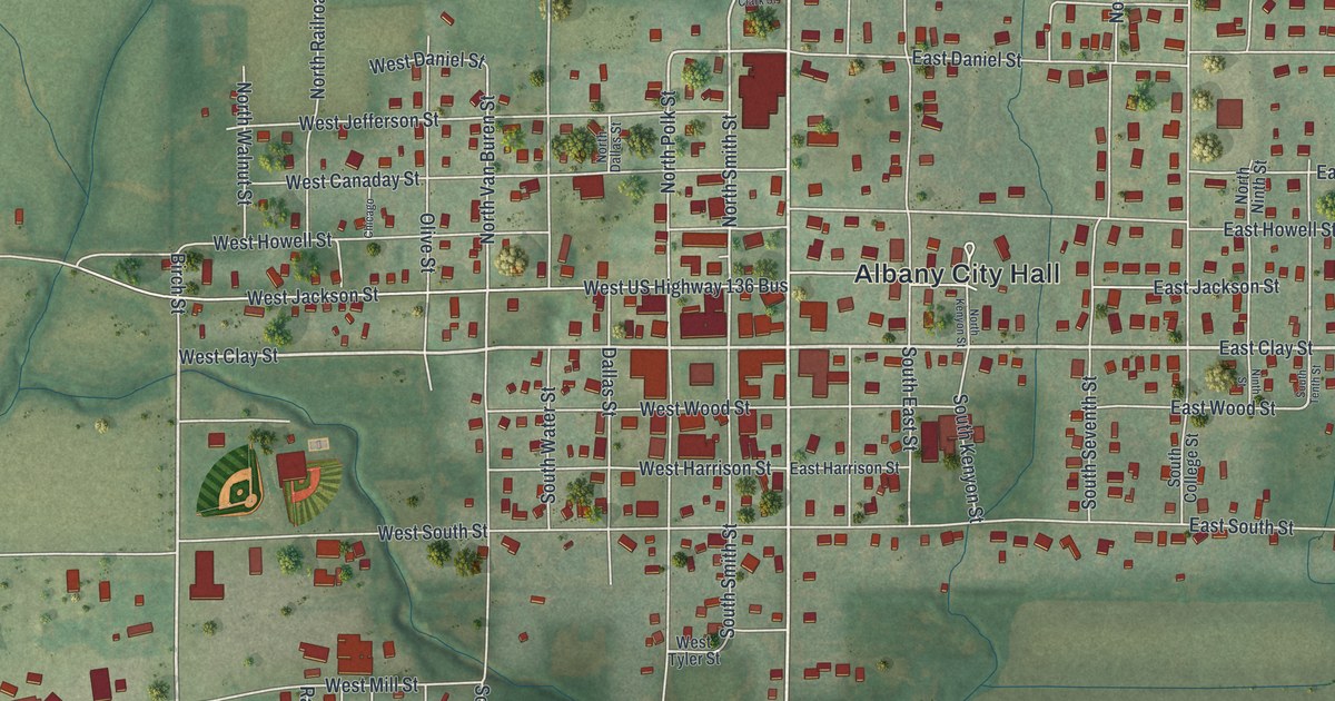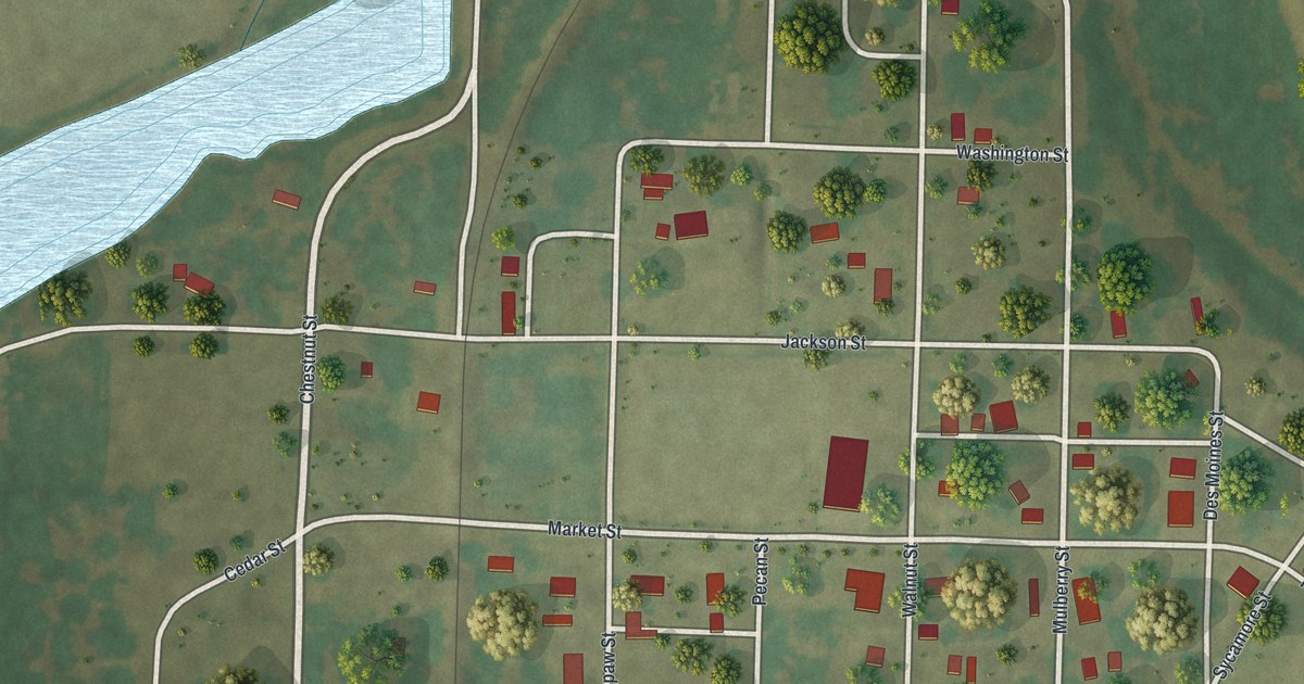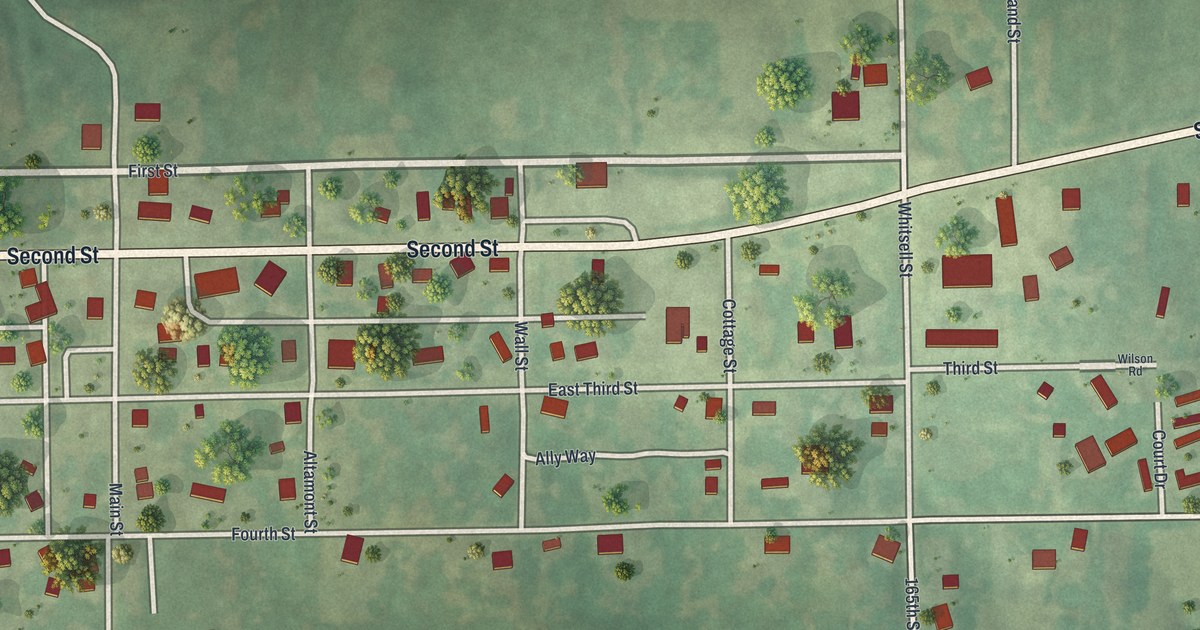
If you grew up in Altamont or still have family on Second Street, this map puts the whole village on one sheet. It's a modern aerial view of Altamont in Daviess County, Missouri, made from modern data and finished with a vintage feel. The small grid of streets sits near the middle, with each building marked in red. Shaded green hills and farm fields spread out on every side. A blue lake sits in the fields north of town. Explore the print options for Altamont.
Second Street, Main Street and Reel Avenue
Start where Main Street meets Second Street, on the west side of town. Second Street is the long road that crosses the whole sheet. Follow it east through the grid. First Street runs just above it, and Fourth Street runs along the bottom of town. In the middle, short Altamont, Wall and Cottage Streets drop south between them, past East Third Street and Ally Way. Keep going east on Second Street to Whitsell Street. Lake Viking Road heads north from there, up past that lake. The lake itself isn't labeled. Then follow Whitsell Street south to Reel Avenue, which runs east toward the edge of the map. Third Street, Wilson Road and Court Drive sit on the east side, with Highland Street heading north. Many of the roads are labeled, so zoom in on the preview and look for your house.
Why Altamont's name means High Mountain
A 1922 history of Daviess and Gentry counties called Altamont the youngest town in the county. It also tells how it started. In the early 1890s, the Rock Island railroad built a new line to St. Joseph. Winston expected to get the railroad's division point. Instead, the junction went about three miles closer to Gallatin. The new town was called Altamont, which the book says means "High Mountain." It got that name because the depot sat 1,002 feet above sea level.
The same book notes a first for the county. By the time it was written, all but one member of the Altamont town board were women. It was the first town in Daviess County to elect women to those seats. The railroad isn't drawn on this map, but the high ground is. Look at the shading around Second Street and you'll see how the town sits up on the rise, with creek valleys falling away to the south.
For anyone who knows Second Street in Altamont
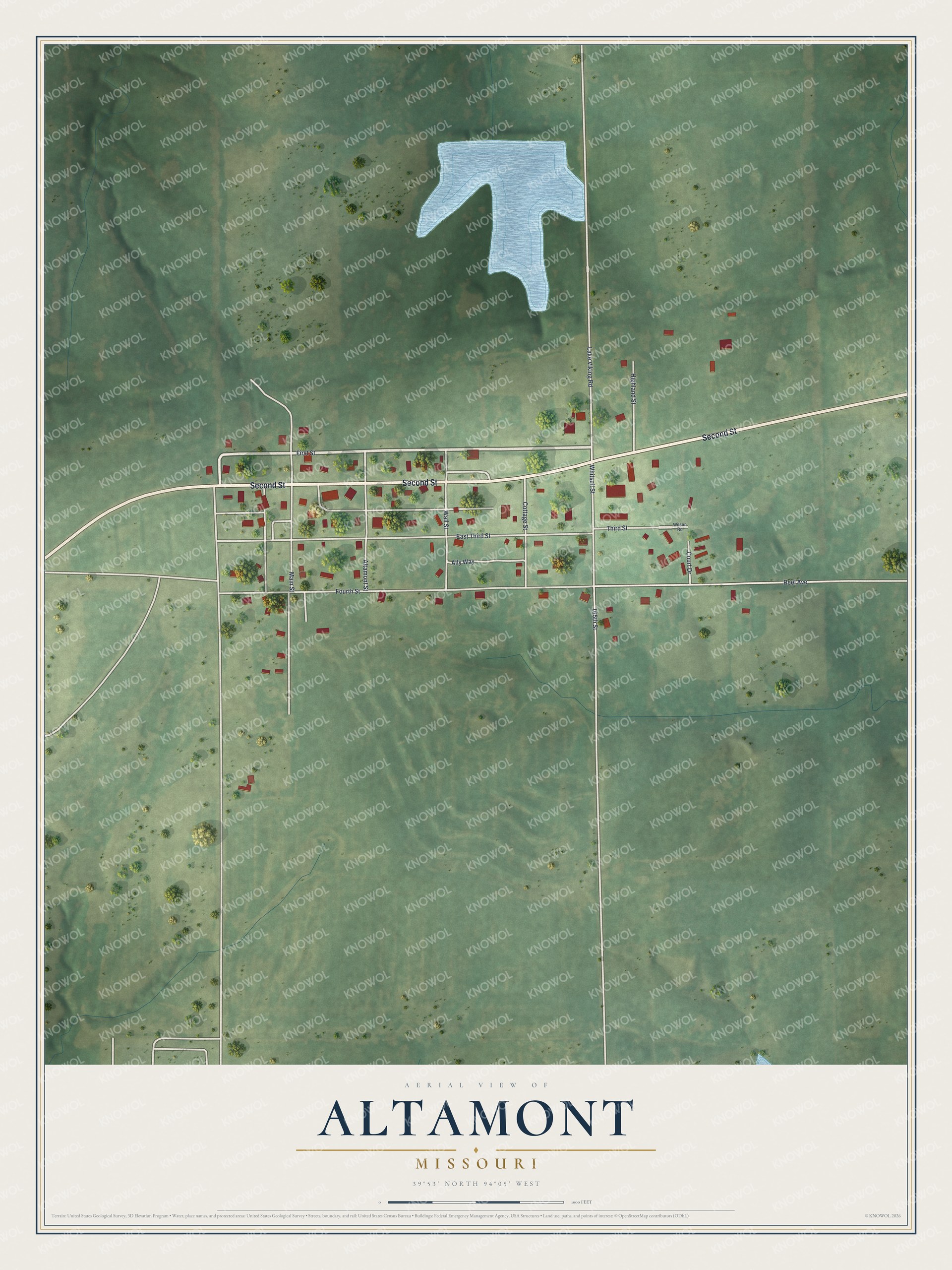
Created by KNOWOL in 2026, this map of Altamont shows the village's buildings in deep red on soft green hills. The shaded ground comes from USGS elevation data, so the hills and creek valleys around town show up. The title panel reads "Aerial View of Altamont, Missouri" with the coordinates 39°53' North, 94°05' West and a scale bar.
It would look good in a kitchen, a den or a farmhouse hallway. It's a thoughtful gift for someone who grew up here, moved away, or still comes home for the holidays. Open the preview, zoom in and find the street you know. Shop the Altamont, Missouri map.