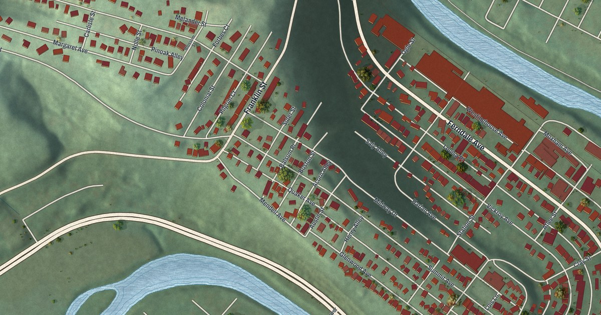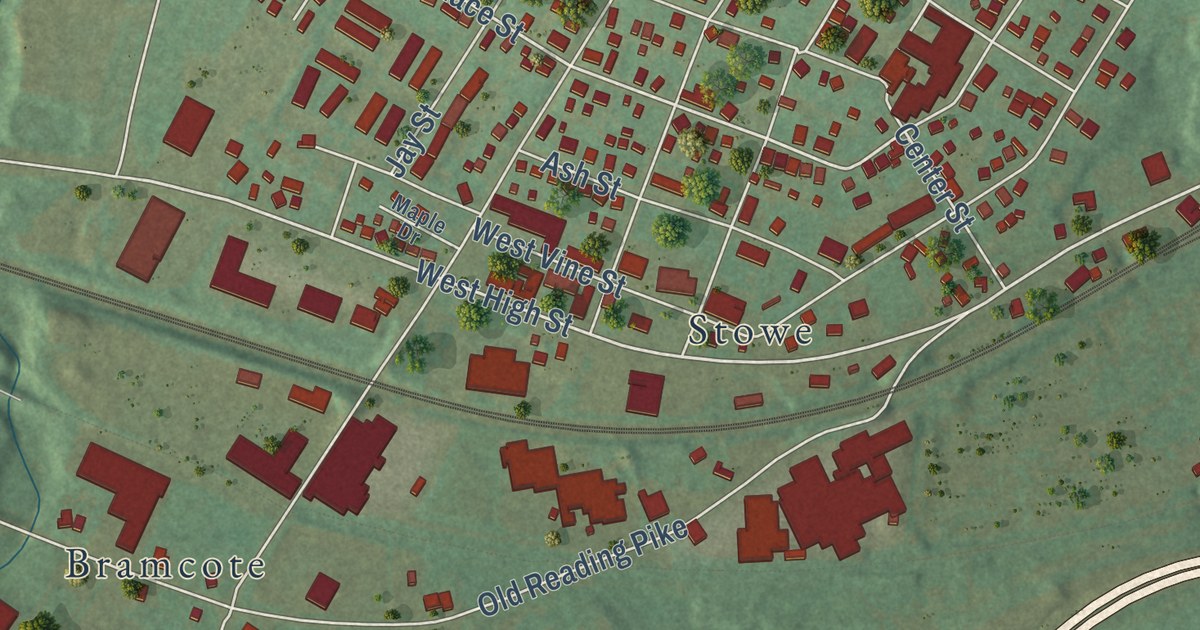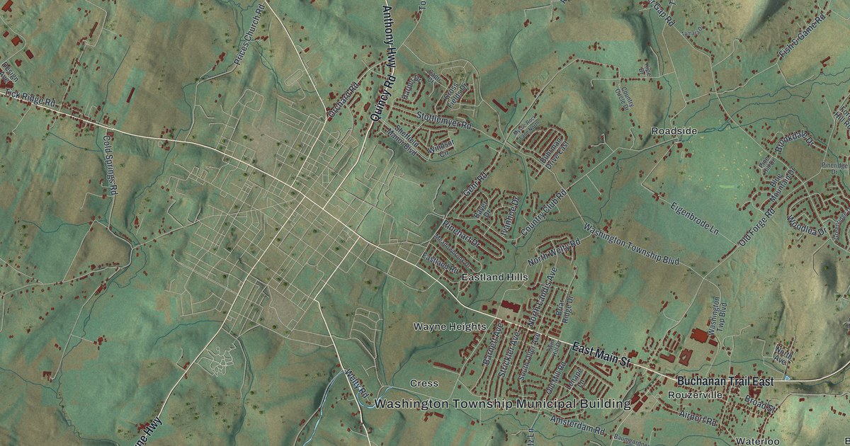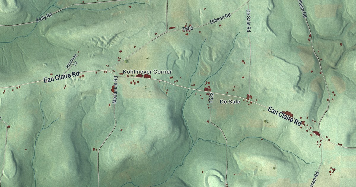
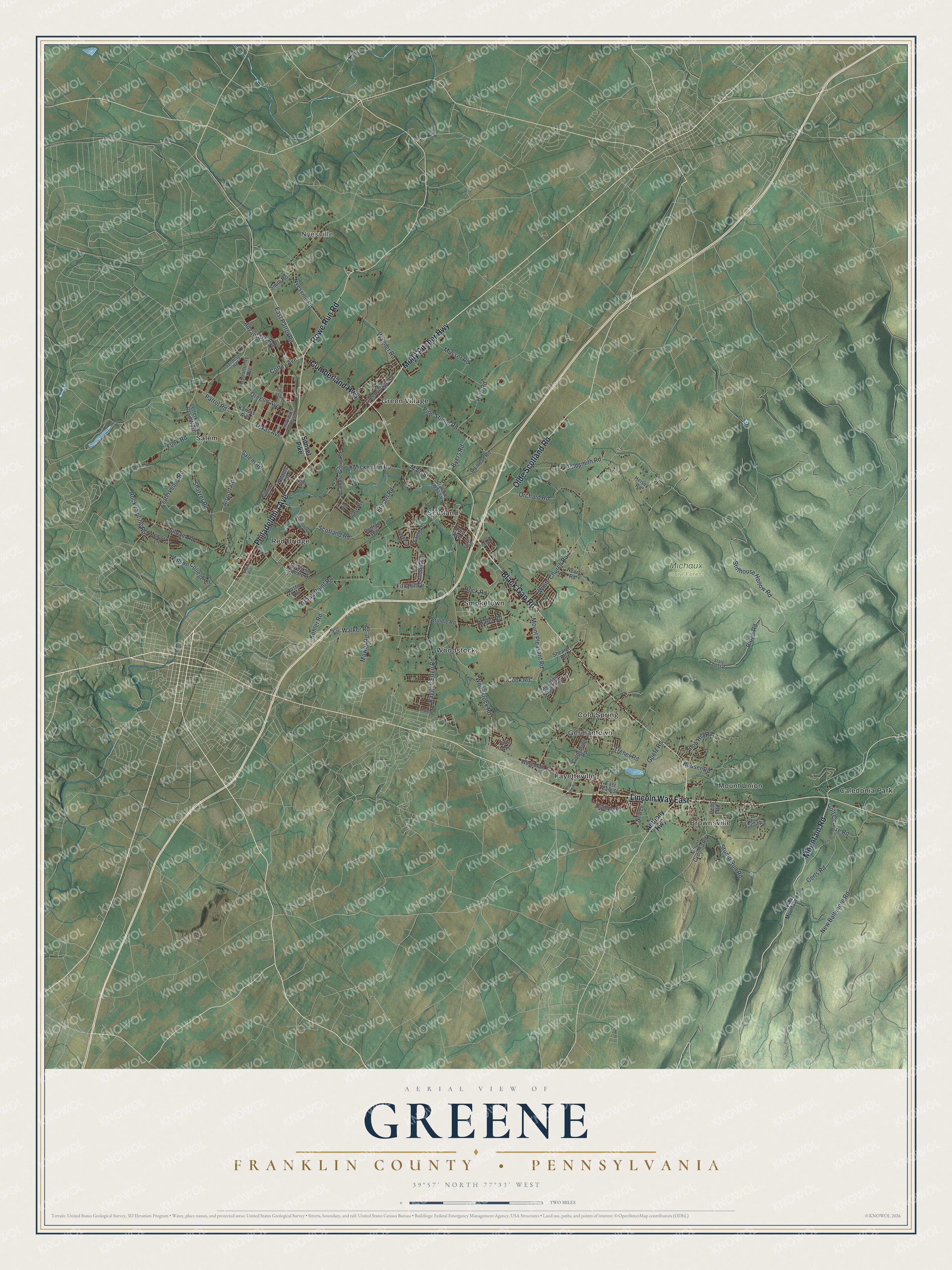
This beautifully detailed map of Greene, Franklin County, Pennsylvania was created in 2026 using aerial imagery combined with modern topographical, census, street and landmark data. It’s a one-of-a-kind view of Greene that combines accurate data with a vintage aesthetic. The map shows every building in its true location, many of the roads carry their names, and the shaded topographic relief shows the shape of the land.
Explore an aerial view of Greene, Franklin County, Pennsylvania
On the map you’ll find Nyesville, Michaux State Forest, Brownsville, Caledonia Park, Cold Spring, Fayetteville, Germantown, Green Village, Mount Union, Red Bridge, Salem, Scotland, and more. If you look closely you can even find your house accurately drawn in its correct location. Zoom in on the preview to look for yours.
Take a closer look at the Greene, Franklin County map
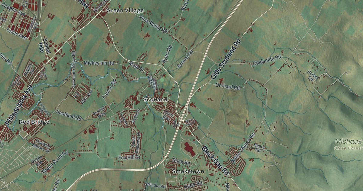
Street and place names on the Greene, Franklin County, Pennsylvania map
These names are printed on the map of Greene, Franklin County, Pennsylvania.
Places: Nyesville, Michaux State Forest, Brownsville, Caledonia Park, Cold Spring, Fayetteville, Germantown, Green Village, Mount Union, Red Bridge, Salem, Scotland, Smoketown and Woodstock.
Streets and roads: Philadelphia Avenue, Lincoln Way East, Mountain Road, Black Gap Road, Cumberland Highway, Olde Scotland Road, Rowe Run Road, Molly Pitcher Highway, Main Street, Oregon Avenue, East Patrol Road, Texas Avenue.
More street names, A to Z
Adams Drive, Advantage Avenue, Airport Road, Anthony Highway, Austin Avenue, Brindle Road, Byers Road, Cameo Drive, Coffey Avenue, Coldsmith Road, Coldspring Road, Cook Road, Corls Road, Cornertown Road, Eagle Drive, East Main Street, Edgar Avenue, Fifth Avenue, Fillmore Drive, Fox Hill Drive, Franklin Square Drive, Frecon Road, Funk Road, Goetz Road, Golf Course Road, Grand Point Road, Greenvillage Road, Hafer Road, Heisey Road, Henry Road, Heritage Road, Houser Road, Innovation Way, Kansas Avenue, Knob Hill Road, Kohler Road, Lea Drive, Letterkenny Road, Letterkenny Road West, Memory Lane, Mickey Inn Road, Mont Alto Road, Mountain Shadow Drive, Mount Cydonia Road, Mount Pleasant Road, Mount Union Road, Mower Road, Musser Road, New Baltimore Road, New Lane, Nolts Road, Nyesville Road, Ohio Avenue, Opportunity Avenue, Orchard Road, Patrol Road, Perry Drive, Perry Road, Pine Stump Road, Portrait Way, Ragged Edge Road, Railroad Road, Rice Road, Ridge Road, Rock Road, Rocky Mountain Road, Rocky Spring Road, Saint Andrews Drive, Salem Road, Sandbag Road, Scotland Main Street, Scotland Road, Shatzer Road, Shearer Road, Siloam Road, Smith Road, Starr Avenue, State Forest Road, State Street, Stillhouse Hollow Road, Stump Run Road, Sunset Pike, Sycamore Grove Road, Third Avenue, Treher Road, Turnberry Drive, Tyler Drive, Valley View Drive, Wagner Road, Walker Road, West Main Street, White Church Road, Wilson College Lane, Woodstock Road.
See the Greene, Franklin County, Pennsylvania map on a wall
The Greene, Franklin County map as an 18 x 24 inch print in a black frame.

This beautifully detailed map of Greene, Franklin County makes an attractive addition to your office, library, or den, and it can even be used to teach children the geography and history of the area. It also makes a great gift for someone who left Greene and still calls it home. When you’re done exploring, click here to get your copy of the Greene, Franklin County map.