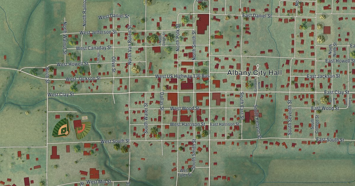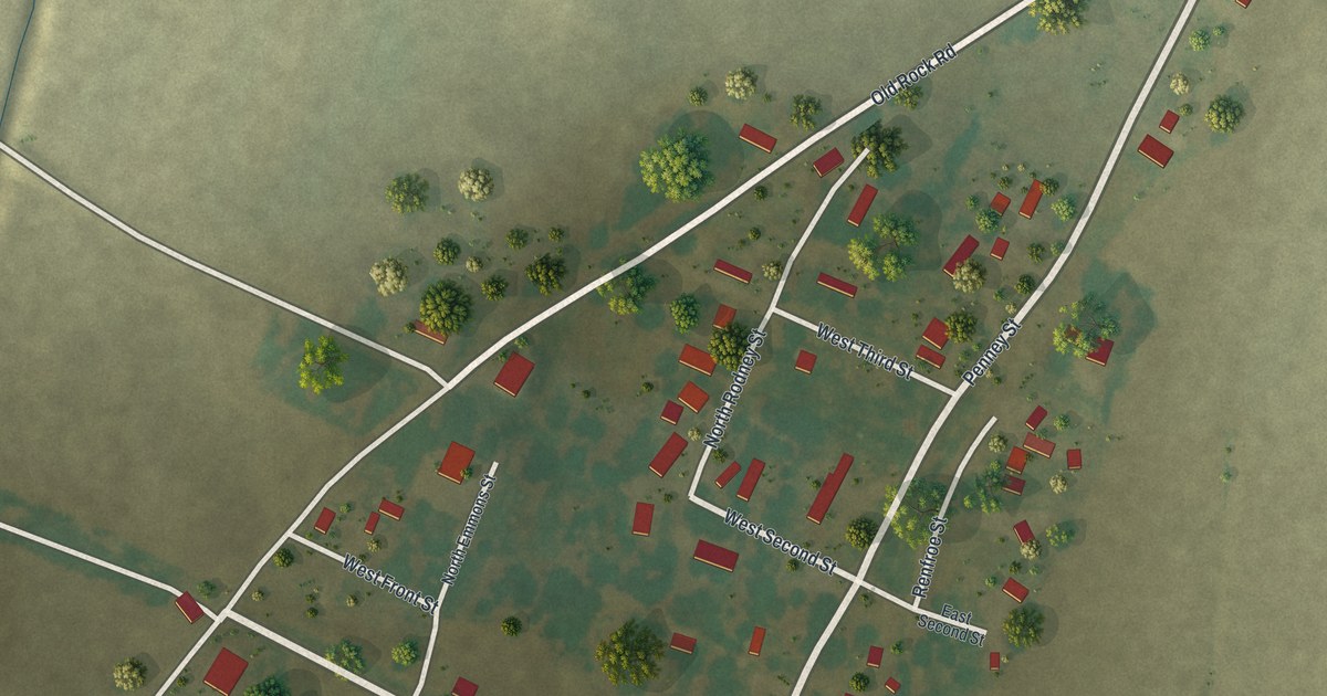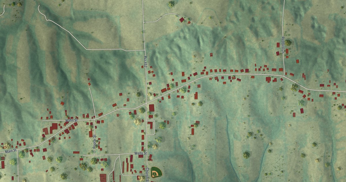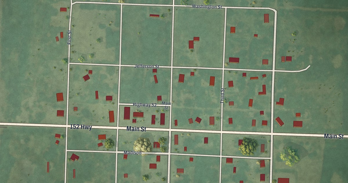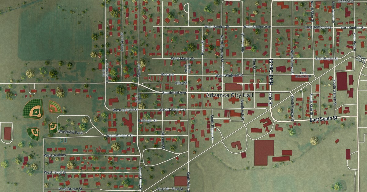
If you grew up in Advance, have family here, or played ball at the diamonds by Westfield Park, this map shows the whole town on one sheet. It's a modern aerial view of Advance in Stoddard County, Missouri, drawn from modern data and finished with a vintage feel. Advance City Hall is printed at the center, with the streets laid out in blocks around it. More than 800 buildings are drawn in deep red, and flat green fields run out to the edges of the print. Explore the print options for Advance.
Advance City Hall, Oak Street and Sturdivant Avenue
Start at Advance City Hall, printed right in the middle of the sheet. Oak Street runs north and south beside it, and North Oak Street carries on above. Sturdivant Avenue crosses just to the west. A wider road cuts across the whole sheet at an angle, from the top right corner down past City Hall to the bottom left. It isn't labeled. East of City Hall, East South Street heads out toward the right side of the print. Now look north and west of City Hall. Poplar Street, Grissom Street and Jane Ann Street run north and south through those blocks. Up at the top of town, School Street and Tupelo Street run east toward the right edge. In the top right corner, Sycamore Street runs north and south, and Benton Avenue runs east and west.
South of City Hall the blocks get tighter. Vine Street runs north and south near the bottom of town, and First Street, Second Street and Sand Road run east and west nearby. Osage Drive has its own short row of buildings close to the bottom edge. Out on the left side of the sheet, Industrial Park Road runs north and south along the edge of town. The ball diamonds aren't labeled, but they're drawn right beside the Westfield Park label. Many of the roads are named, and each red shape is a building, so zoom in on the preview and look for yours.
The 2020 Census count and the flat land around Advance
Advance is a small city in Stoddard County. The 2020 Census counted 1,349 people here. On this map, more than 800 buildings are drawn in red, and you can see how flat the ground is. There are no hills to shade, so the green around town is open fields, with trees dotted along the field edges. The biggest buildings on the sheet sit just southeast of City Hall. Another group stands near the top of town, by School Street and Tupelo Street. None of them carry a label, so zoom in and see which ones you know.
For anyone who grew up along Oak Street in Advance
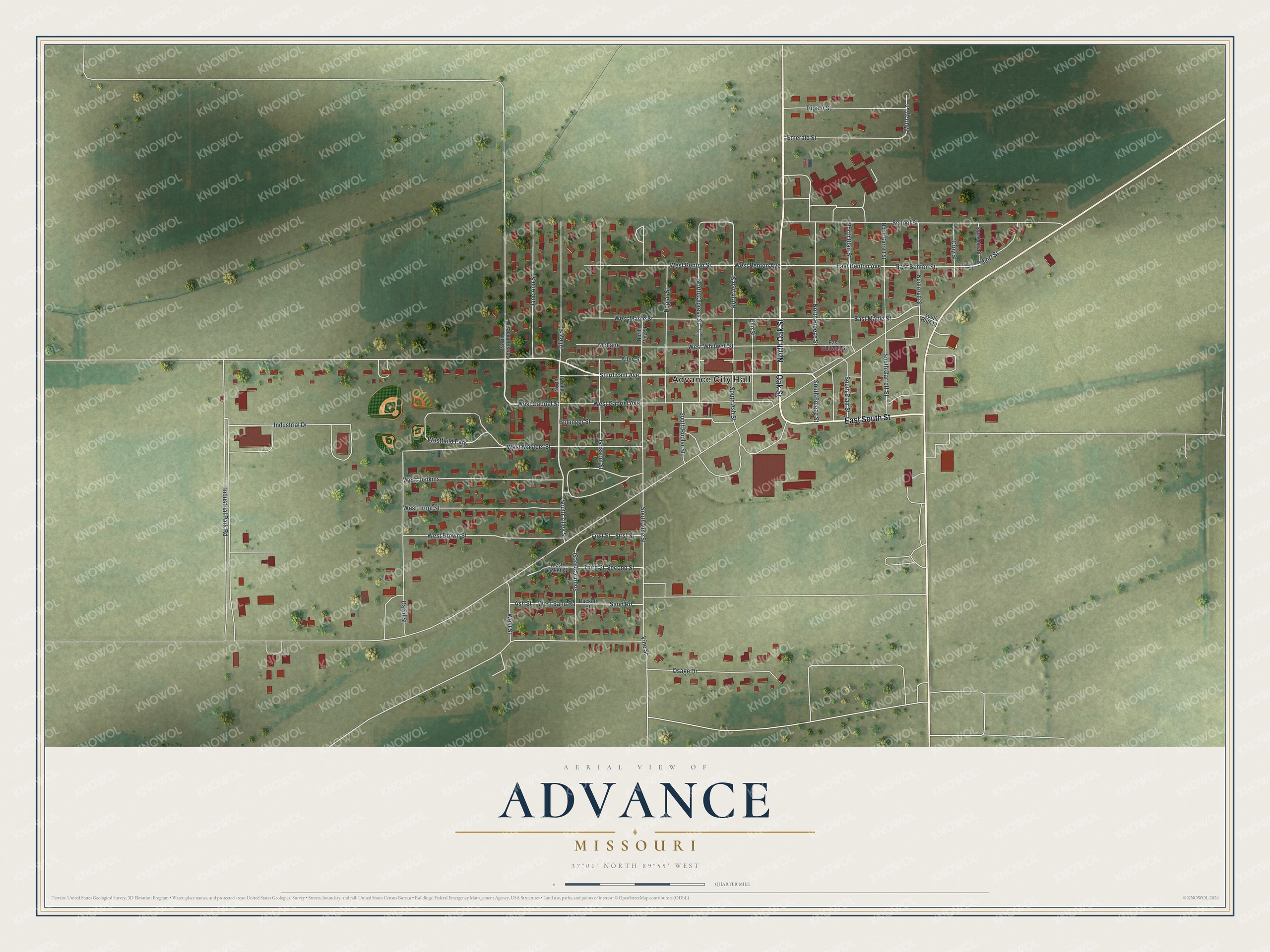
Created by KNOWOL in 2026, this Advance map shows pale streets and red buildings on flat green fields, inside a cream border. The terrain comes from USGS elevation data, and the streets come from Census Bureau records. The title panel reads "Aerial View of Advance, Missouri" with 37°06' North, 89°55' West and a quarter-mile scale bar.
Hang it in a kitchen, a den or a home office. It makes a good gift for someone who grew up in Advance and lives far away now, or for a family with roots in Stoddard County. Open the preview and follow Oak Street from City Hall to a house you know. Shop the Advance, Missouri map.