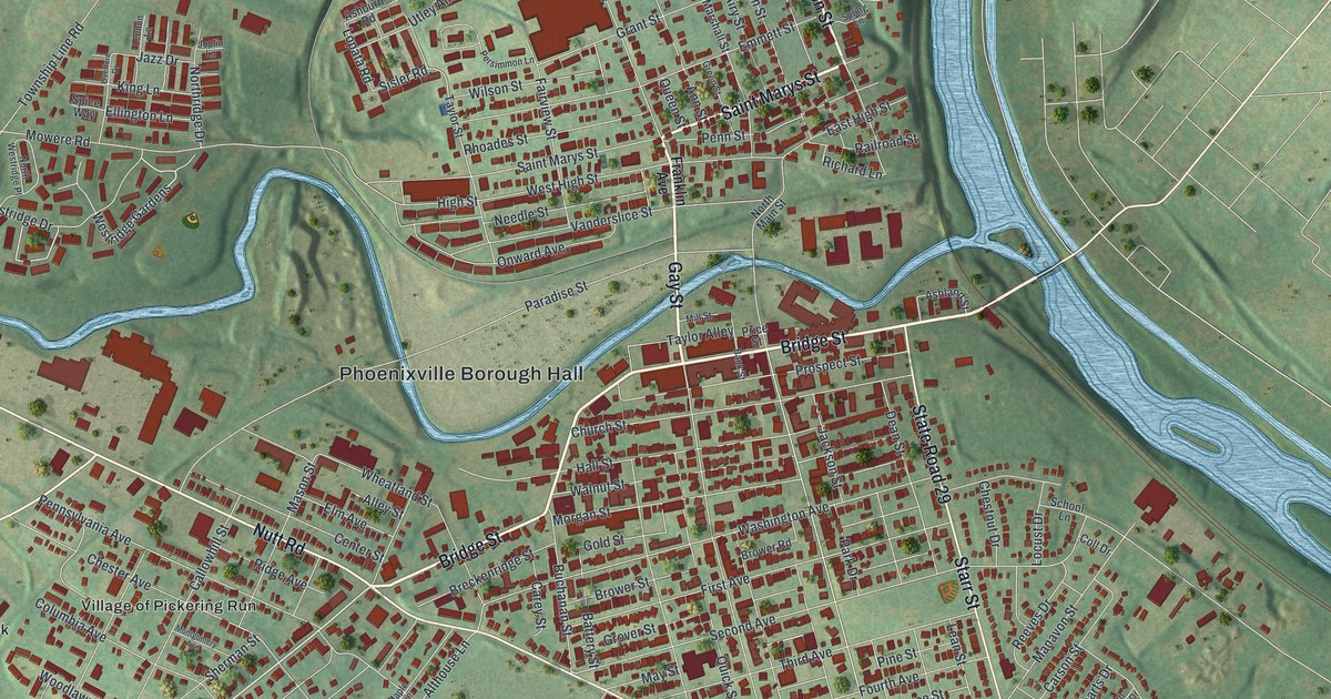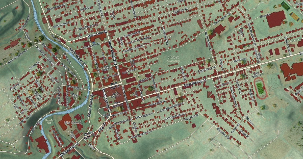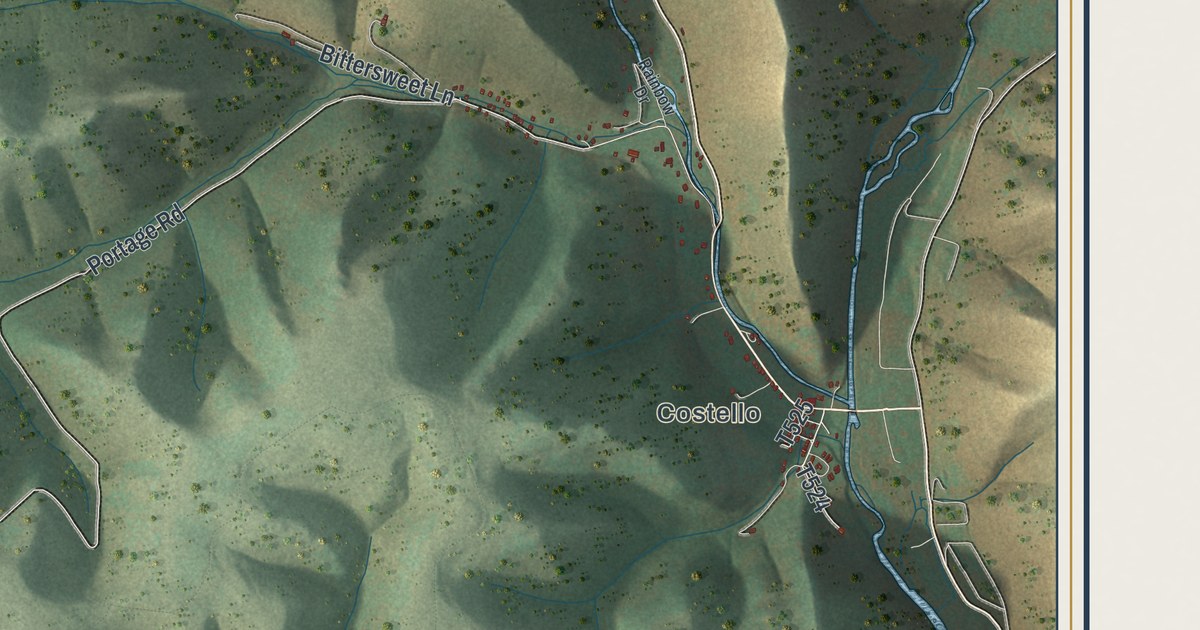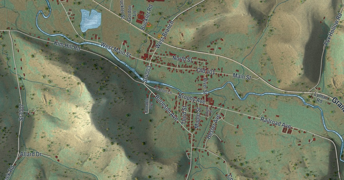
If you grew up in Roulette, have family out toward Burtville or Knowlton, or still drive the Grand Army of the Republic Highway home, this map shows your valley. It's a modern aerial view of Roulette Township in Potter County, Pennsylvania, made from modern data with a vintage artistic feel. Steep hills are shaded in tan and green on both sides of the river. The village sits in the middle of the sheet, where most of the red buildings are. Burtville is labeled on the left, and Knowlton on the right.
Burtville, Main Street and Knowlton
Start at Burtville, on the left side of the map. The Grand Army of the Republic Highway runs east from there. Sartwell Creek Road heads north out of Burtville toward Hanson Hollow Road in the top left. State Game Lands Number 59 is printed up there too. Back on the highway, keep going east into the village. The village itself isn't labeled, but you can't miss its red buildings. Main Street splits off here. River Street crosses the river and runs down to Railroad Avenue, where the buildings sit close together. Fishing Creek Road climbs north from Main Street. Card Creek Road and Lanninger Creek Road both run south into the hills. Past the village, the highway bends southeast to Knowlton, with the Susquehannock State Forest label just above it. Trout Brook Road comes down from the north to meet the highway near there. Many roads are labeled, and each red shape is a building, so zoom in on the preview and look for yours.
Streetertown, Dutchtown and the flood of 1889
Roulette had other names first. The 1890 county history by J.H. Beers & Co. says the village started as Streetertown, for the many Streeters who lived there. Then it was Dutchtown, for the Germans who settled there. A German colony came in 1831. At last it was named for John Roulette, a partner of John Keating. The history says Roulette "slept for many years" and woke up when the train whistle sounded. In September 1883 a large sash and blind factory opened. In 1886 the Roulette Tannery started. By 1890 it had about sixty-five men at work. Railroad Avenue is still printed, running southeast from the village, but the map draws no tracks. Knowlton was one of the new sawmill towns along that railroad.
The Allegheny River isn't labeled, but you can follow its blue line from the bottom right corner to Burtville. The history says Fishing Creek joins the river at Roulette. On May 31, 1889, a flood did a lot of damage here. It took out the Fishing Creek bridge and the Trout Brook bridge on Main Street. It tore part of the Card Creek bridge away. The road washed out in front of W.S. Brine's place, so teams had to drive through his orchard. The water carried off the sidewalk from Pomeroy bridge to Knowlton's barn. It also took small buildings, whole gardens and many logs from Bard's sawmill. Fishing Creek is labeled on the map. Follow it from the top right down to the village, where it meets the river.
For families from Roulette, Burtville and Knowlton
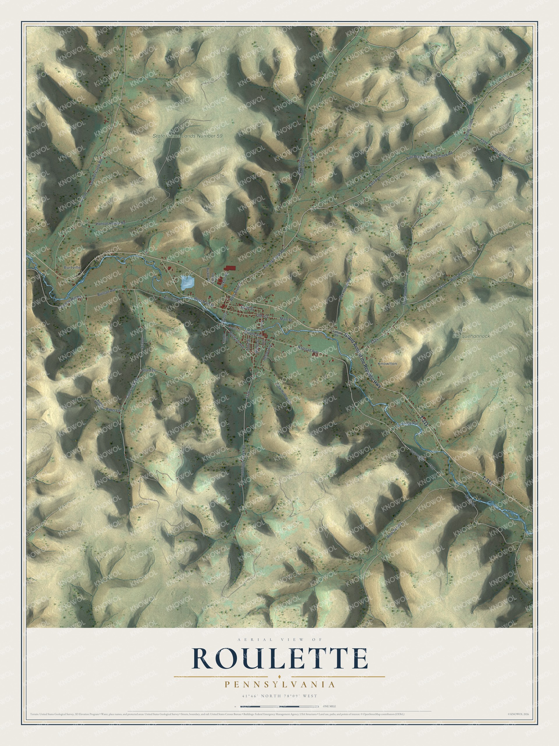
Created by KNOWOL in 2026, this Roulette map shades the hills from USGS elevation data and sets the roads and buildings on top. From across the room, it's a long green valley between tan ridges. Up close, you can follow Main Street block by block. The title panel reads "Aerial View of Roulette, Pennsylvania" with the coordinates 41°46' North, 78°09' West and a one-mile scale bar.
Hang it in a den, a kitchen or a hunting camp. It makes a fine gift for anyone who grew up in Roulette and moved away, or for family still living near Fishing Creek. Open the preview, zoom in on the village and look for your street. See sizes and frames for the Roulette map.