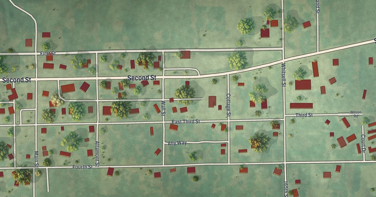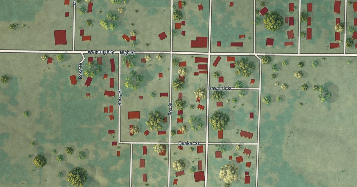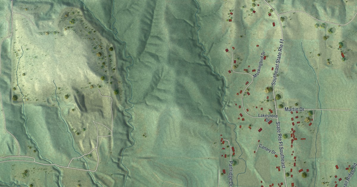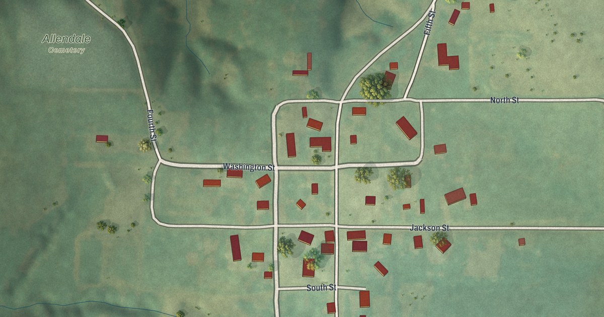
If you grew up in Allendale, or you still have family near Main Street, this map puts the whole village on one sheet. It's a modern aerial view of Allendale in Worth County, Missouri, made from modern data and given a vintage artistic feel. The hills are shaded in soft green, the roads run in pale lines, and about 100 buildings are marked in red. The village sits in the middle, with open fields and rolling hills all around it.
Main Street, Jackson Street and Allendale Cemetery
Start where Washington Street meets Main Street, near the middle of the sheet. Main Street is the long road that runs north and south through town. Head north on Main and you'll pass North Street, which runs east past a few houses. Past it, Main Street climbs toward the top right corner. Now come back and head south. Jackson Street crosses next and runs east all the way to the right edge. Then come South Street and Rodeo Drive.
Keep going south on Main past Rodeo Drive. The houses thin out, and a long road crosses the whole sheet from left to right. Just below it, Rimrock Trail angles down toward the bottom edge. Now go back to Washington Street and head west. The road curves up to the northwest, and the Allendale Cemetery label sits on the slope just west of it. Look for Second, Fourth and Fifth Streets too. Many roads are labeled, and each red shape is a building, so zoom in on the preview and look for yours.
Allendale counted 48 people in 2020
Allendale is a village in Worth County, Missouri. The Census Bureau counted 48 people here in 2020. This print marks about 100 buildings, and most of them sit along Main Street between North Street and Rodeo Drive. Zoom in and you can count them one by one. Then look at the upper left of the sheet. The ground folds into steep ridges and narrow draws, shaded a darker green. Thin blue lines wind through the low spots. Those are the creeks, and more than twenty of them are drawn on this map.
From North Street down to Rimrock Trail
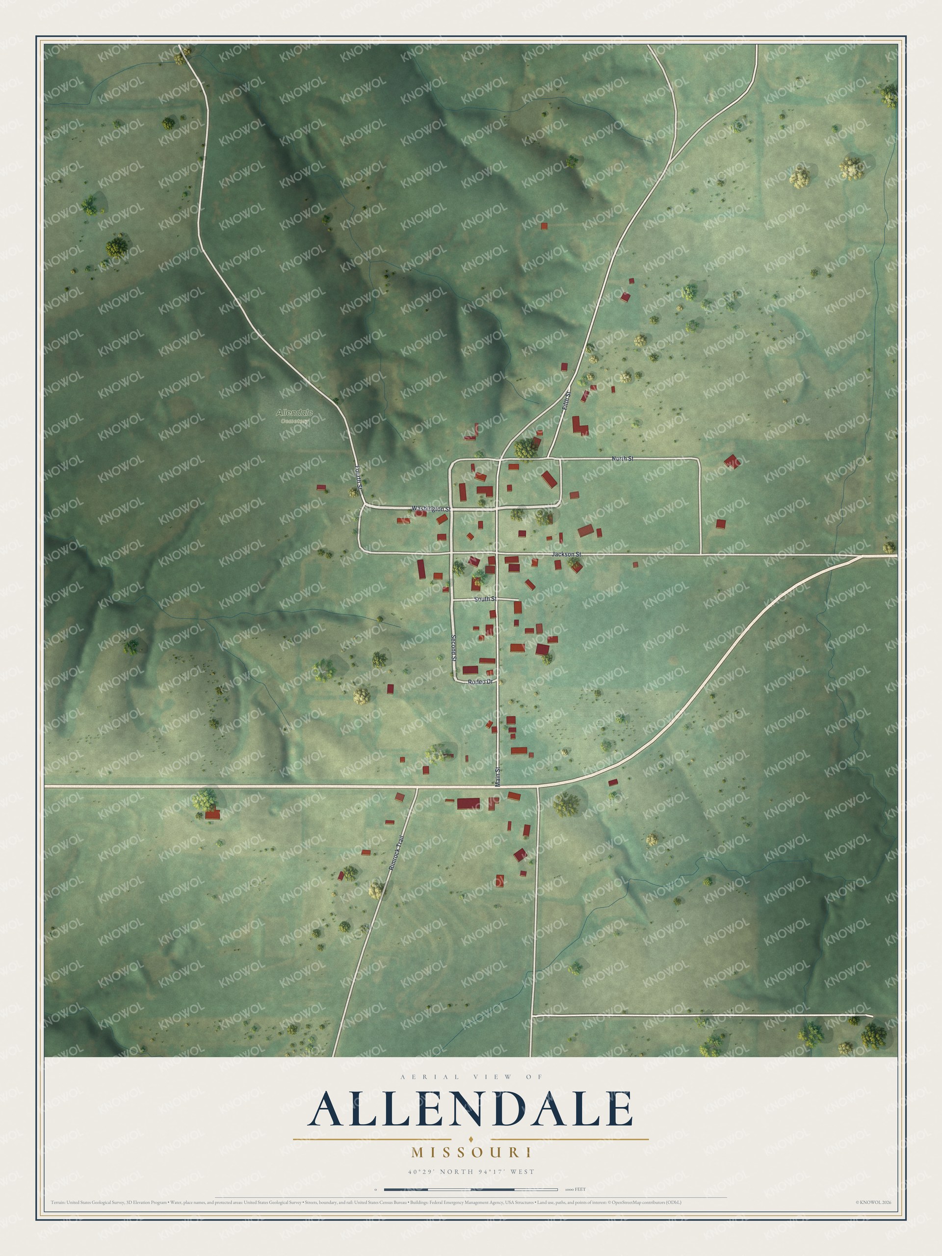
Created by KNOWOL in 2026, this Allendale map shades the hills from USGS elevation data and marks each building in red. The title panel reads "Aerial View of Allendale, Missouri" with the coordinates 40°29' North, 94°17' West.
It suits a kitchen, a den or a farmhouse hallway. It's a thoughtful gift for someone who grew up along Main Street in Allendale and moved away. Open the preview, zoom in and find the street you know. See sizes and frames for the Allendale map.