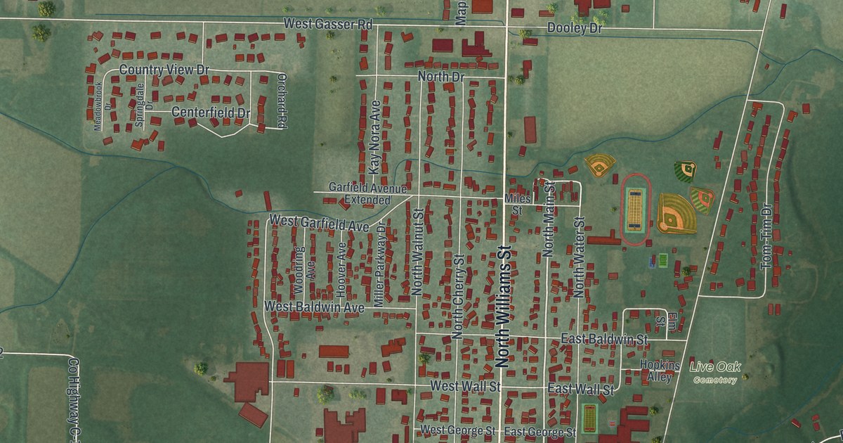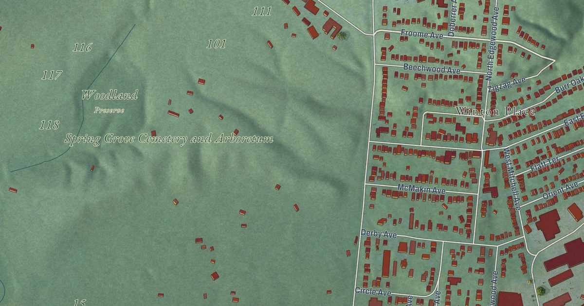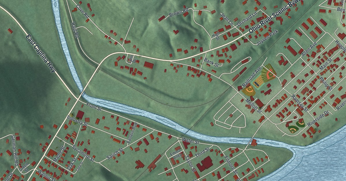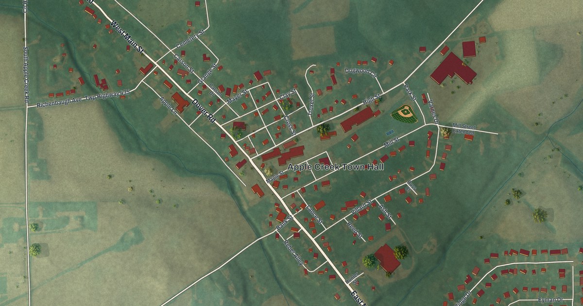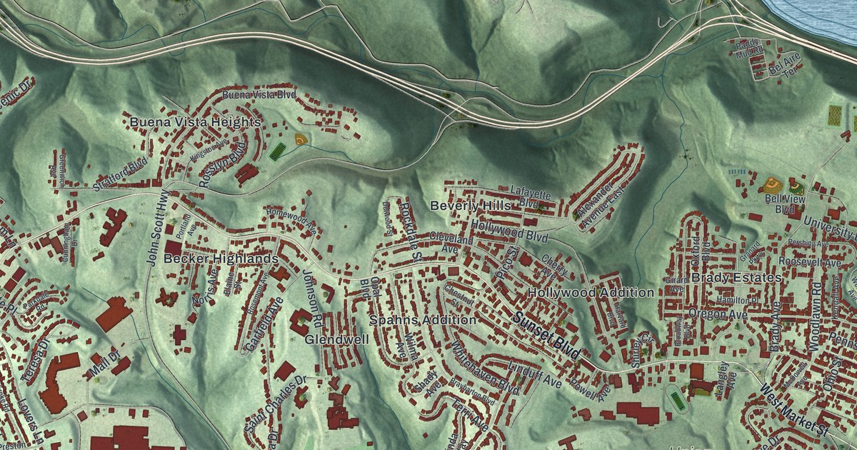
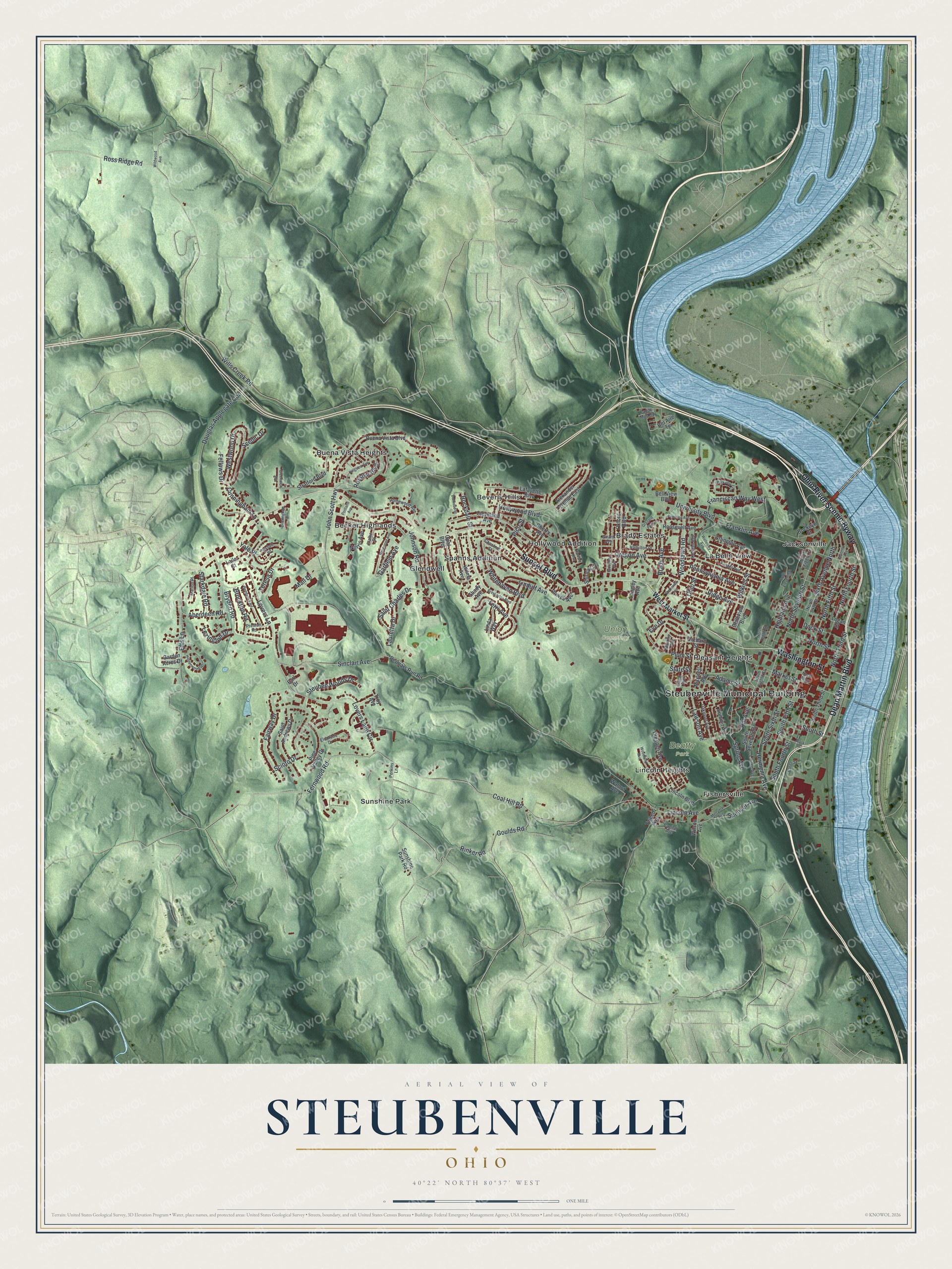
This beautifully detailed map of Steubenville, Ohio was created in 2026 using aerial imagery combined with modern topographical, census, street and landmark data. It’s a one-of-a-kind view of Steubenville that combines accurate data with a vintage aesthetic. The map shows every building in its true location, many of the roads carry their names, and the shaded topographic relief shows the shape of the land.
Explore an aerial view of Steubenville, Ohio
On the map you’ll find Steubenville Municipal Building, Beatty Park, Union Cemetery, Becker Highlands, Beverly Hills, Brady Estates, Buena Vista Heights, Fishersville, Glendwell, Hollywood Addition, Jacksonville, La Belle View, and more. If you look closely you can even find your house accurately drawn in its correct location. Zoom in on the preview to look for yours.
Did you know this piece of Steubenville, Ohio history?
In 1786 and 1787, soldiers built Fort Steuben to guard government surveyors west of the Ohio River. The fort honored Baron Friedrich Wilhelm von Steuben, a Prussian officer who reformed the Continental Army. When the surveyors finished, the fort was abandoned. Settlers living around it named their town Steubenville.
Take a closer look at the Steubenville map
Street and place names on the Steubenville, Ohio map
These names are printed on the map of Steubenville, Ohio.
Places: Steubenville Municipal Building, Beatty Park, Union Cemetery, Becker Highlands, Beverly Hills, Brady Estates, Buena Vista Heights, Fishersville, Glendwell, Hollywood Addition, Jacksonville, La Belle View, Lincoln Heights, Pleasant Heights, Spahns Addition and Sunshine Park.
Streets and roads: Ohio River Scenic Byway, Dean Martin Boulevard, Sunset Boulevard, Washington Street, Fernwood Road, Coal Hill Road, Lovers Lane Circle, Scioto Drive, Rinker Road, South Street, North Seventh Street, Lincoln Avenue.
More street names, A to Z
Aberdeen Road, Adams Street, Alexander Avenue East, Arlington Avenue, Bates Street, Bel Aire Terrace, Belleview Boulevard, Bell View Boulevard, Brady Avenue, Braybarton Boulevard, Broadway Boulevard, Brockton Road, Bryden Road, Buckeye Street, Buena Vista Boulevard, Capital Avenue, Cherry Avenue, Chestnut Street, Cleveland Avenue, Cunningham Drive, Cunningham Lane, Delwood Street, Dock Street, Douglas Applegate Con, Dresden Avenue, Earl Drive, Easter Avenue, Efts Lane, Elaine Street, Eldorado Drive, Eve Drive, Fairway Drive, Fellows Drive, Franciscan Way West, Franklin Avenue, Garden Acres Drive, Garfield Avenue, Girard Avenue, Goulds Road, Granard Parkway, Greenwich Avenue, Hamilton Place, Harvard Boulevard, Hermenia Avenue, Hiddenwood Drive, Highland Avenue, Hill Avenue, Hollywood Boulevard, Homewood Avenue, John Scott Highway, Johnson Road, Kendall Avenue, Kingston Avenue, Lafayette Boulevard, Laila Court, Langley Avenue, Lauretta Drive, Lawson Avenue, Lexington Drive, Lincoln Boulevard, Linda Way, Linden Avenue, Linduff Avenue, Logan Street, Lovers Lane, Mall Drive, Marion Place, Market Street, Maxwell Avenue, McDowell Avenue, Merryman Avenue, Mooney Avenue, Murphy Avenue, Norris Avenue, North Alley, North Eighth Street, North Eleventh Street, North Fifth Street, North Fourth Street, North Sixth Street, North Street, North Tenth Street, North Third Street, Oakmont Avenue, Ohio Street, Opal Boulevard, Orchard Street, Oregon Avenue, Oxford Boulevard, Paddy Mud Road, Parkdale Road, Parkview Circle, Pembroke Road, Pennsylvania Avenue, Perkins Lane, Permars Run Road, Pershing Avenue, Pico Street, Pine Valley Drive, Plum Street, Portland Avenue, Powell Avenue, Preston Road, Ridge Avenue, Rockdale Street, Roosevelt Avenue, Rosemont Avenue, Rosslyn Boulevard, Ross Ridge Road, Saint Andrews Drive, Saint Charles Drive, Scenic Drive, Shady Avenue, Shirley Circle, Sinclair Avenue, Sixth Avenue North, Slack Street, South Eighth Street, South Fifth Street, South Fourth Street, South Seventh Street, South Sixth Street, South Third Street, Spencer Avenue, Spring Avenue, Starkdale Road, State Street, Steuben Woods Drive, Stratford Boulevard, Summit Avenue, Sunshine Park Road, Teresa Drive, Terri Avenue, Troy Avenue, Tweed Avenue, Union Avenue, University Boulevard, Walnut Avenue, Wellesley Avenue, West Market Street, Westwood Drive, Whitehaven Boulevard, Wildwood Avenue, Wilkins Street, Wills Creek Road, Wilma Avenue, Wilson Avenue, Woodland Avenue, Woodlawn Road, Yale Place.
See the Steubenville, Ohio map on a wall
The Steubenville map as an 18 x 24 inch print in a black frame.

This beautifully detailed map of Steubenville makes an attractive addition to your office, library, or den, and it can even be used to teach children the geography and history of the area. It also makes a great gift for anyone who grew up in Steubenville or moved away. When you’re done exploring, click here to get your copy of the Steubenville map.