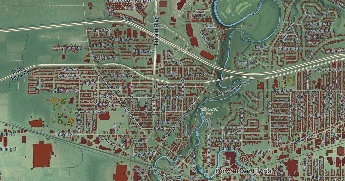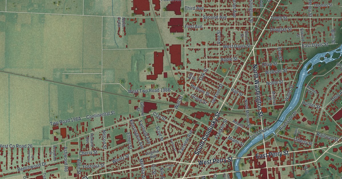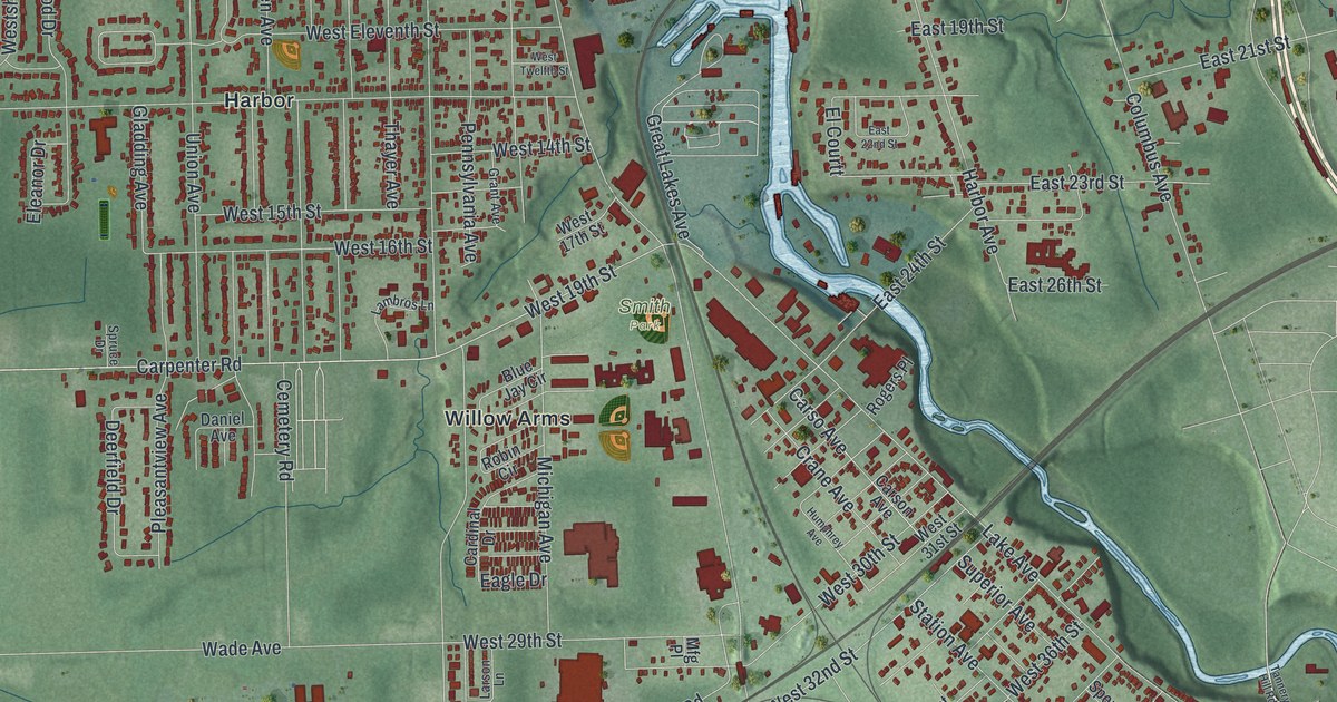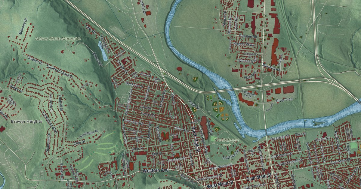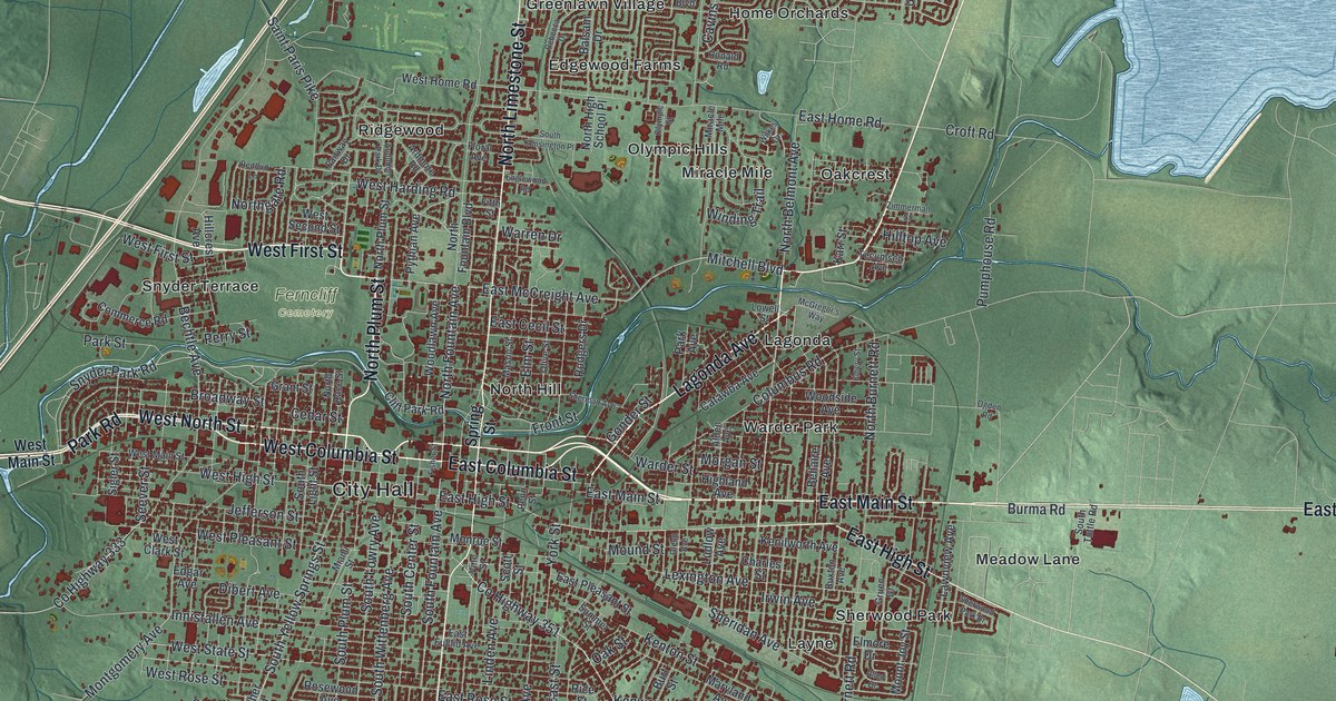
If you grew up in Springfield, or still have family in Lagonda, North Hill or Southgate, this map gives you plenty to find. It's a modern aerial view of Springfield in Clark County, Ohio, made from modern data and given a vintage look. The city sits in the middle of the sheet, with more than 37,000 buildings drawn in dark red. Green shaded hills and farm country spread out on every side. A creek winds through town, and a big blue lake fills the upper right.
North Limestone Street, City Hall and East National Road
Start at City Hall, near the middle of the sheet. West Columbia Street and East Columbia Street run close by. North Limestone Street crosses them and heads straight north. Follow it up. Ridgewood sits off to the west. Olympic Hills and Oakcrest sit to the east. Near the top of town, you'll reach Glencoe Estates, Oakwood Village and Kingsgate Commons.
Now go back downtown and take East Main Street east. Past Burma Road, East National Road runs on to the right edge, with Meadow Lane just below it. To the south, South Limestone Street runs down past Southgate to East Leffel Lane. Selma Road heads south toward Kenwood Heights. On the west side, Snyder Park Road runs out to Snyder Terrace, and Ferncliff Cemetery sits near West First Street. Many roads are labeled, and each red shape is a building. Zoom in on the preview and look for yours.
Where the first 4-H club met in 1902
Here's a Springfield story worth telling. On January 15, 1902, A. B. Graham held the first meeting of a new club for farm kids. He ran the rural schools in Springfield Township. He called it the Boys and Girls Agricultural Experiment Club. The kids met in the basement of the Clark County Courthouse. A state historical marker says it's thought to be the nation's first farm club for young people. A few years later, clubs like it were called 4-H clubs. The marker stands at the corner of North Limestone Street and East Columbia Street. Both roads are printed on the map, close to City Hall.
How Ridgewood was planned in 1914
Ridgewood has a marker of its own, at Ardmore Road and North Fountain Boulevard. The neighborhood was laid out in 1914. It was one of the first fully planned suburbs in the country. Its builder, Harry S. Kissell, was from Springfield. He gave buyers big lots, curving paved roads and sewers. He also used deed restrictions, and the marker says they both protected the area and kept people out. In 1931 he became president of the National Association of Real Estate Boards. In that job, he came up with the idea for the Federal Home Loan Bank system. During the Great Depression, it saved millions of Americans from losing their homes. Look for Ridgewood north of downtown, along Ardmore Road and Englewood Road.
For anyone from North Hill, Lagonda or Southgate
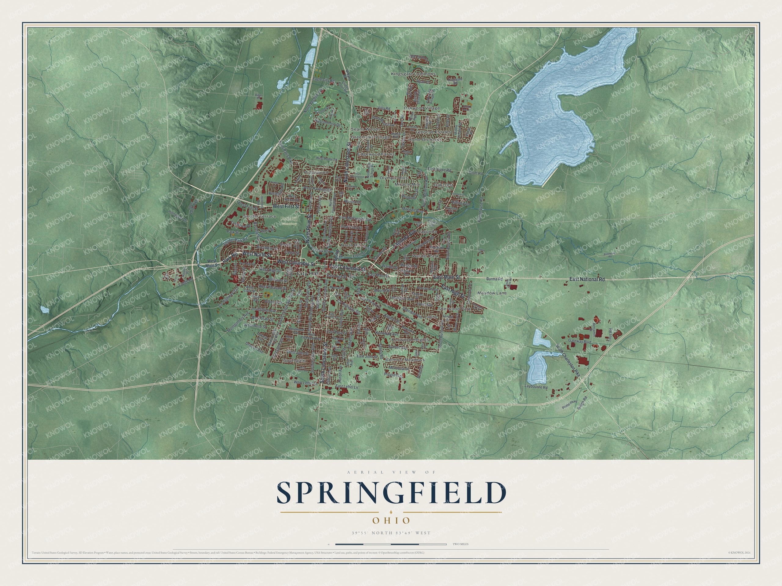
Created by KNOWOL in 2026, this Springfield map shades the hills in green using USGS elevation data. Streets come from Census Bureau records. Buildings are dark red, and the water is soft blue. The title panel reads "Aerial View of Springfield, Ohio" with 39°55' North 83°49' West and a two-mile scale bar.
It fits a living room, a kitchen or an office. It's a good gift for someone who grew up near Ferncliff Cemetery or New Reid Park and moved away, or for a family with a long 4-H history. Open the preview, zoom in near City Hall and find a street you know. See sizes and frames for the Springfield map.