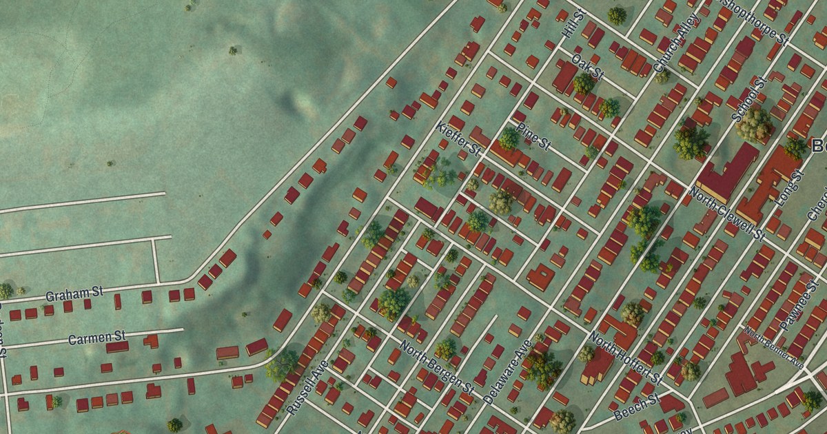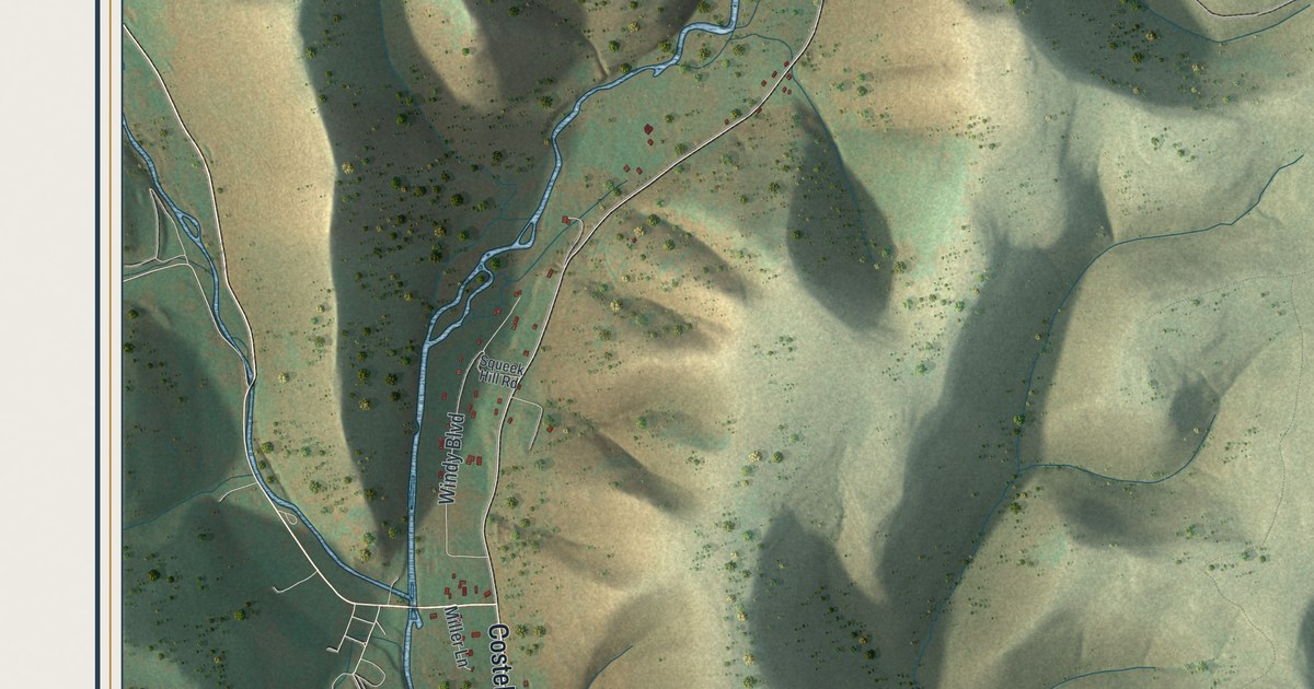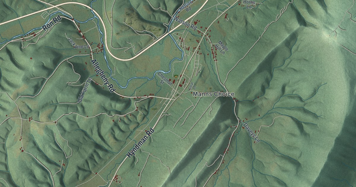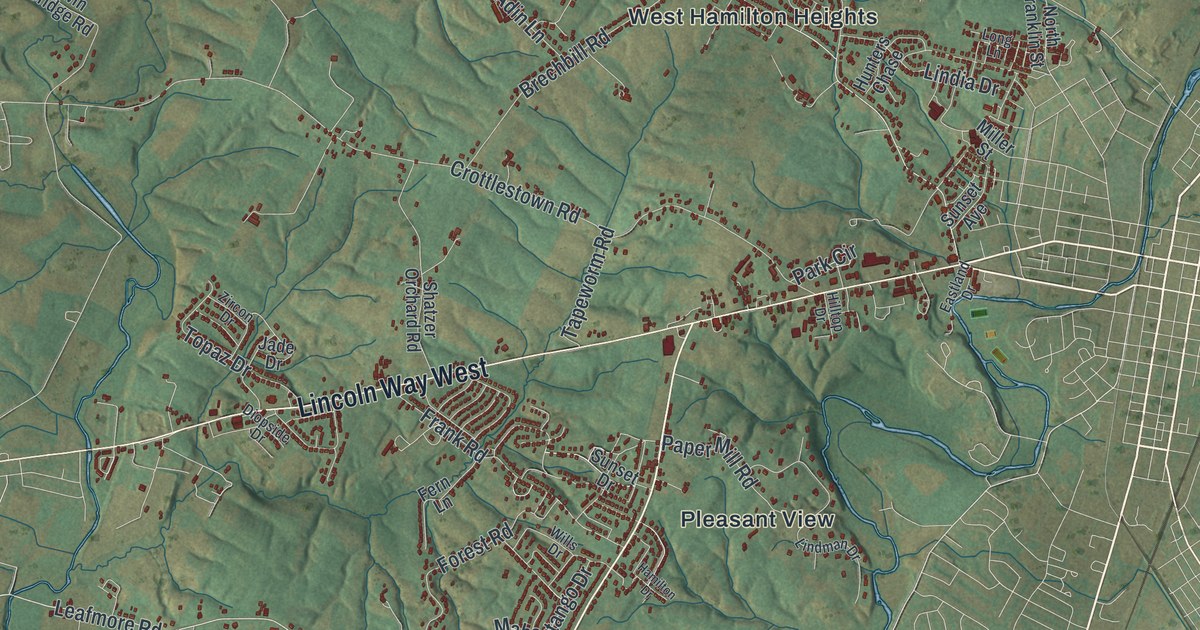
If you grew up in Hamilton Heights, drive Lincoln Way West every day, or have family out on Warm Spring Road, this map gives you plenty to find. It's a modern aerial view of Hamilton Township in Franklin County, Pennsylvania, made from modern data and given a vintage artistic feel. The township wraps around the west side of Chambersburg. It runs from the shaded mountain in the top left down to Cashtown and Housum near the bottom. Farm roads cross the green hills, streams wind through the valleys, and each building is a small red shape.
Lincoln Way West, Warm Spring Road and Social Island
Start on Lincoln Way West, the road that crosses the middle of the sheet and runs east to the right edge. Just north of it, Crottlestown Road and Sollenberger Road lead up to West Hamilton Heights and Hamilton Heights. That's where the red buildings sit closest together. Johnson Road climbs from there to Edenville Road. Follow Edenville Road east to Cheesetown and Kensington Heights near the top right. Lawyer Road and Surrey Drive run through those streets.
Now go back to Lincoln Way West and head south. Pleasant View sits beside Warm Spring Road, which runs down toward the bottom of the sheet. Past Turkeyfoot, Jack Road leads off to Social Island. The National Register lists the Bridge between Guilford and Hamilton Townships, which carries a road over Conococheague Creek at Social Island. Keep following Warm Spring Road southwest and you'll reach Housum and Cashtown, with Jacks Mill Road and Guitner Road close by. Many roads are labeled, and each red shape is a building, so zoom in on the preview and look for yours.
Fort McCord and the attack of April 1, 1756
Now look at the top left corner. The mountain rises there in pale shaded green, under the Buchanan State Forest label. Fort McCord Road runs below it, not far from Sandy Hook. After Braddock's defeat in 1755, settlers in this region built a line of small forts as places of refuge. One was Fort McCord, named for John McCord. A state historical marker says it was burned in an Indian attack on April 1, 1756. Twenty-seven people were killed or carried into captivity. A 1914 plaque names some of them, including Mary McCord, Anne McCord and her two daughters, and Martha Thorn, a young mother. Provincial soldiers chased the raiders, and the plaque lists 21 of them killed and 11 wounded at Sideling Hill. The marker stands where Rumler Road meets Fort McCord Road, and the site is about 500 feet away. Find that corner in the top left of the map.
For someone who knows Warm Spring Road
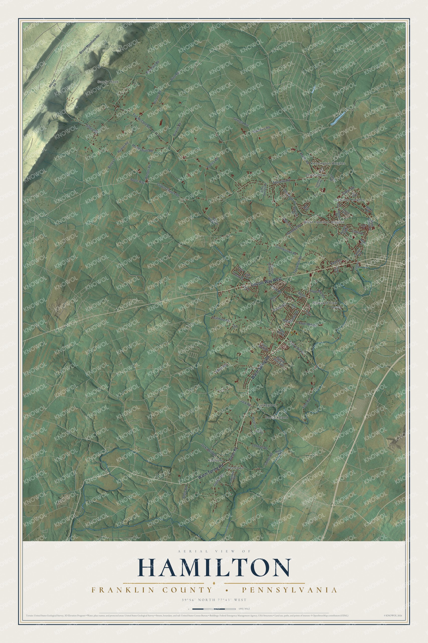
Created by KNOWOL in 2026, this Hamilton map shows the township in soft greens, with the mountain shaded along the top left and buildings marked in deep red. The shaded hills come from USGS elevation data. The title panel reads "Aerial View of Hamilton, Franklin County, Pennsylvania" with the coordinates 39°56' North, 77°43' West.
It suits a farmhouse kitchen, a den or an office wall. It's a thoughtful gift for someone who grew up in Hamilton Heights or has family near Social Island, especially if they've moved away. Open the preview, zoom in and find the road you know. See sizes and frames for the Hamilton, Franklin County map.