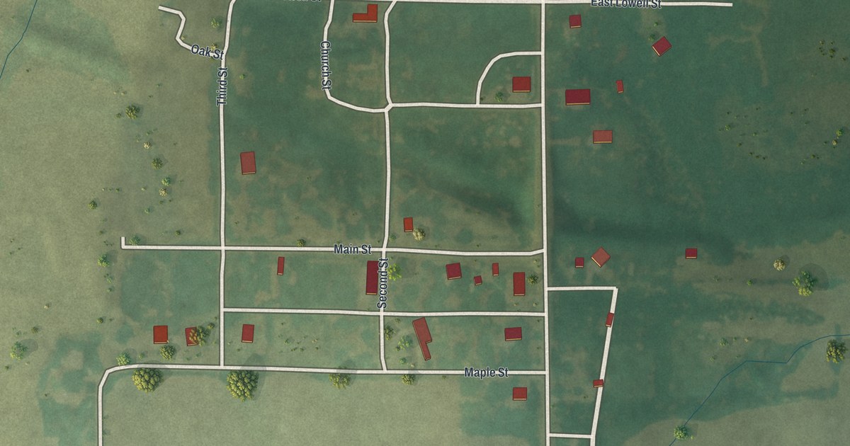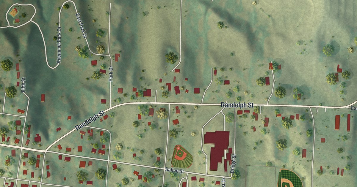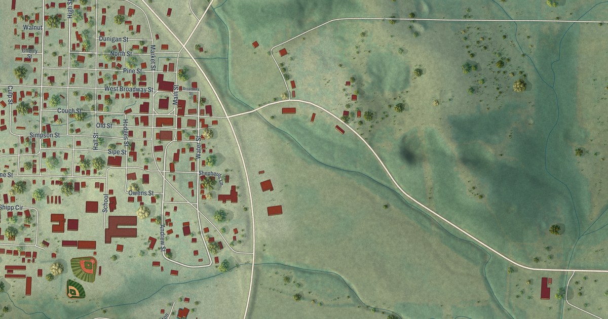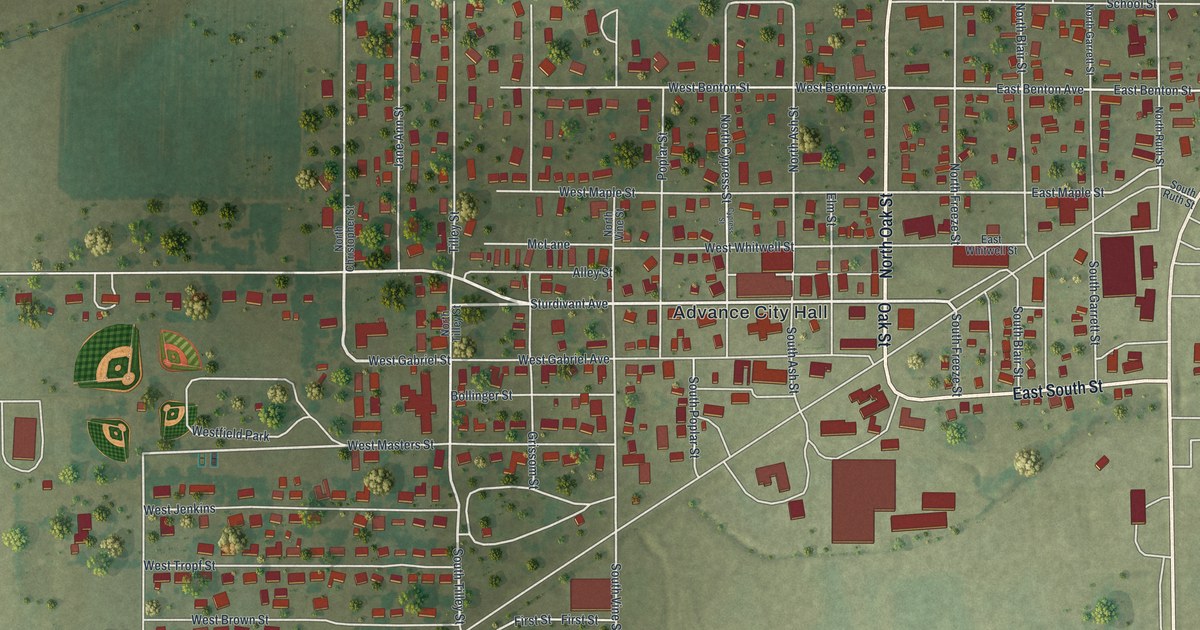
If you grew up in Anderson, or you still have family on the streets off Marshall Street, this map gives you plenty to find. It's a modern aerial view of Anderson in McDonald County, Missouri, made from modern data and given a vintage look. Green hills fold in around the town on every side. A blue creek swings past the south edge of downtown in a wide loop. More than 1,000 buildings are drawn in red, and Anderson had 1,981 people in the 2020 census.
From Marshall Street to Anderson Cemetery
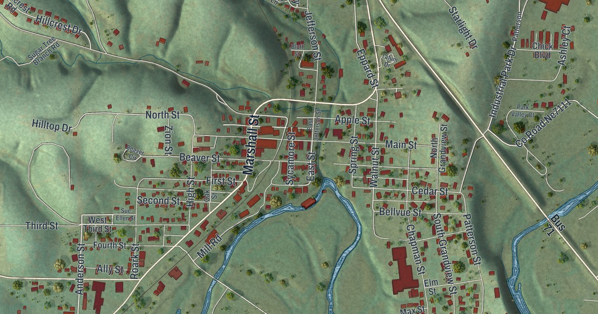
Start downtown, where Marshall Street runs north and south through the middle of the map. North Street and Beaver Street branch off to the west. Main Street and Walnut Street sit just to the east. Now head north on North 71 Business Highway. It climbs out of town between the hills. Anderson Cemetery is printed right beside it, just above downtown. East of the highway, Industrial Park Drive runs down past a group of larger buildings.
Back downtown, Bellvue Street runs east and west, and Patterson Street heads south toward the creek. Inside its big loop, Riverview Drive and Scyler Drive wind through a small neighborhood. Indian Creek Road heads off to the northeast. On the west side, look for Hilltop Drive and Hound Dawg Street. Along the right edge, a wide divided highway runs from top to bottom, and Outer Road follows it in the lower corner. Many roads are named, and each red shape is a building, so zoom in on the preview and look for yours.
James W. Tatum and Patterson Creek in the 1897 county history
An 1897 history of McDonald County names some of the early settlers here. James W. Tatum is on its list of names from the county before 1840. The book says Mr. Tatum still lived on Beaver valley in 1897, half a mile above the town of Anderson. It also tells how Patterson Creek got its name. John Patterson, "an old bachelor," settled on the creek about 1833. The book says the creek starts about two miles west of Anderson and runs mostly west. It passes into what the book calls the Territory, about a mile south of Tiff City. On the map today, Beaver Street and Beaver Circle sit on the west side of downtown. Tatum Drive and Patterson Street are printed near the middle of the sheet.
Anderson, from Cook Hill Road to Outer Road
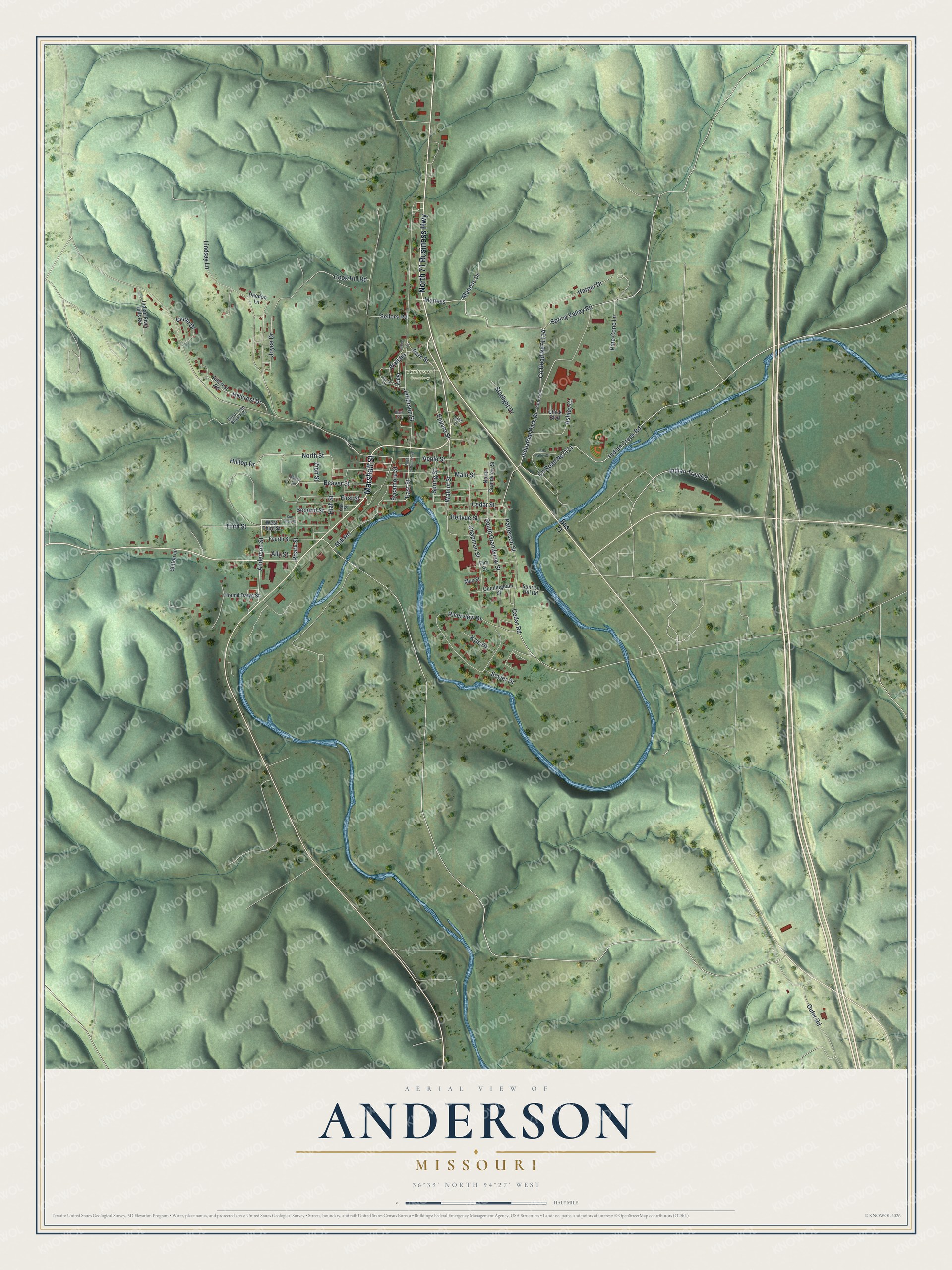
Created by KNOWOL in 2026, this map of Anderson shades the hills in soft green from USGS elevation data. The creek is drawn in blue, and the buildings stand out in dark red. The title panel reads "Aerial View of Anderson, Missouri," with the coordinates 36°39' North, 94°27' West and a half-mile scale bar.
It fits a kitchen, a den or a home office. It's a good gift for someone who grew up near Marshall Street and moved away, or who has family on Beaver Street or out on Indian Creek Road. Open the preview, zoom in and follow Marshall Street down to the creek. See sizes and frames for the Anderson map.