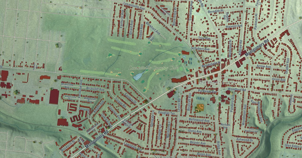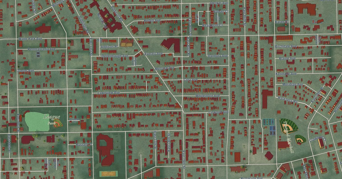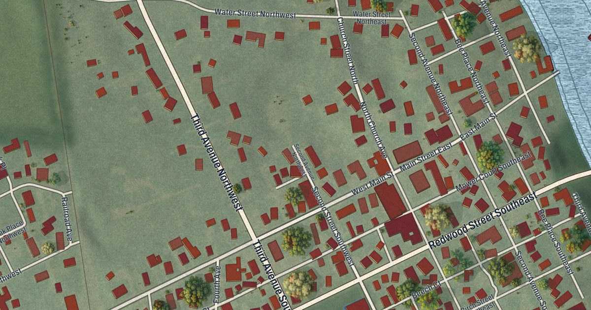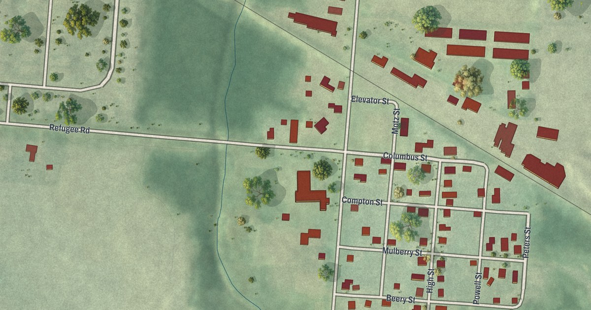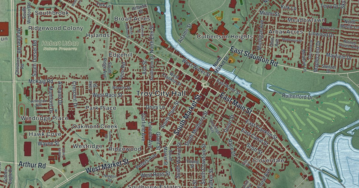
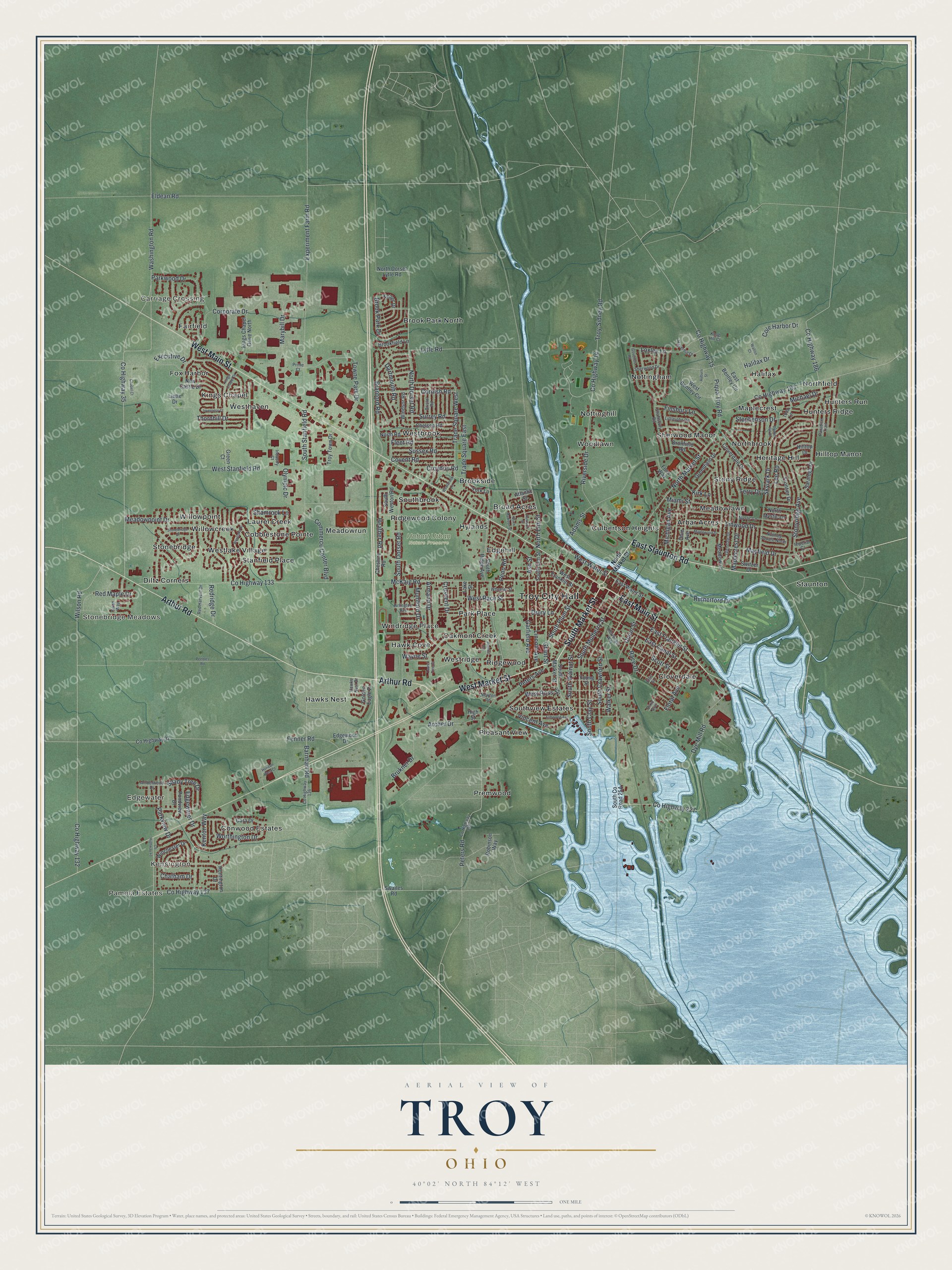
This beautifully detailed map of Troy, Ohio was created in 2026 using aerial imagery combined with modern topographical, census, street and landmark data. It’s a one-of-a-kind view of Troy that combines accurate data with a vintage aesthetic. The map shows every building in its true location, many of the roads carry their names, and the shaded topographic relief shows the shape of the land.
Explore an aerial view of Troy, Ohio
On the map you’ll find Troy City Hall, Pamela Estates, Kensington, Carriage Crossing, Edgewater, Stonebridge Meadows, Hobart Urban Nature Preserve, Arbar Acres, Broad Acres, Brook Park North, Brookside, Cloverdale, and more. If you look closely you can even find your house accurately drawn in its correct location. Zoom in on the preview to look for yours.
Did you know this piece of Troy, Ohio history?
The Hobart Welded Steel House Company made prefabricated steel homes in Troy. Prefabricated houses never caught on after World War II, and the firm built only 22 of them. All of them went up in Troy. Sixteen survive today, and they are listed on the National Register of Historic Places.
Take a closer look at the Troy map
Street and place names on the Troy, Ohio map
These names are printed on the map of Troy, Ohio.
Places: Troy City Hall, Pamela Estates, Kensington, Carriage Crossing, Edgewater, Stonebridge Meadows, Hobart Urban Nature Preserve, Arbar Acres, Broad Acres, Brook Park North, Brookside, Cloverdale, Cobblestone Pointe, Conwood Estates, Culbertson Heights, Diltz Corners, Edgehill, Fairfield, Fox Harbor, Halifax, Hawk Cove, Hawks Nest, Heritage Hill, Hilltop Manor, Hunters Ridge, Hunters Run, Hylands, Kings Chapel, Laurel Creek, Maplecrest, Meadowlawn, Meadowrun, Northbrook, Northfield, Nottingham, Nottinghill, Oakmont Creek, Park Place, Pleasant View, Premwood, Ridgewood, Ridgewood Colony, Sherwood Manor, Southbrook, Southview Estates, Stanfield Place, Staunton, Stonebridge, Stony Ridge, Westbrook, Westhaven, Westlake Village, Westridge, Willowcreek, Willowpoint, Windridge Place and Woodlawn.
Streets and roads: South Market Street, East Staunton Road, East Main Street, West Market Street, West Main Street, Arthur Road, Shady Tree Drive, Washington Road, West Water Street, Dye Mill Road, North Market Street, Riverside Drive.
More street names, A to Z
Adams Street, Amberwood Drive, Archer Drive, Arlington Avenue, Armand Drive, Ash Street, Atlantic Street, Auburn Street, Barnhart Road, Branford Road, Bristol Road, Brookfield Lane, Brook Park Drive, Brukner Drive, Bunker Hill Drive, Cara Drive, Chapel Court, Chatham Drive, Chelsea Road, Cheshire Road, Cloverdale Drive, Cole Harbor Drive, Commerce Center Boulevard, Cornish Road, Corporate Drive, County Highway 14, County Highway 15, County Highway 35, County Highway 37, County Highway 41, County Highway 132, County Highway 133, County Highway 136, County Highway 137, County Highway 149, County Highway 186, County Highway 193, County Highway 227, Covent Road, Crescent Drive, Croydon Road, Dartmouth Road, Dixie Avenue, Dronfield Road, Drury Lane, East Bentley Circle, East Canal Street, East Franklin Street, East Water Street, Edgewater Drive, Edgewood Drive, Eldean Road, Ellis Street, Elmwood Avenue, Executive Drive, Experiment Farm Road, Fenner Road, Finsbury Lane, Fleet Road, Floral Avenue, Foss Way, Frontier Drive, Garfield Avenue, Glendale Drive, Golden Eagle Drive, Goveners Road, Grant Street, Green Court, Greenfield Drive, Halifax Drive, Harrison Street, Haverhill Drive, Hawks Nest Drive, Heather Road, Herrlinger Way, High Street, Hilltop Drive, Horizon West Court, Huntington Drive, Imperial Court, Industry Court, Inverness Court, Keller Drive, Kenton Way, Kings Chapel Drive, Kings Chapel Drive North, Kirk Lane, Knob Hill Court, Lake Street, Laurel Tree Court, Lee Road, Liette Drive, Lincoln Avenue, Linwood Drive, Littlejohn Road, Loxley Lane, Lytle Road, Maplecrest Drive, Maplewood Drive, Marybill Drive, Mayfield Drive, McKaig Road, Meadow Lane, Meadowpoint Drive, Miami Street, Michael Drive, Michigan Avenue, Mumford Drive, Mystic Lane, New Castle Drive, Newton Road, North Dorset Lytle Road, North Dorset Road, North Elm Street, North Madison Street, North Mystic Lane, North Road, Nutmeg Square North, Ohio Avenue, Olympic Drive, Paradise Trail, Parkview Drive, Parkwood Drive, Peebles Road, Penn Road, Peters Avenue, Peters Road, Piqua Troy Road, Pondview Drive, Prime Court, Race Drive, Red Harvest Drive, Red Maple Drive, Redridge Drive, Robinson Way, Rutherford Drive, Saratoga Drive, Scott Street, Shaftsbury Road, Shamrock Lane, Sherwood Drive, Skylark Drive, South Clay Street, South Crawford Street, South Dorset Road, South Elm Street, South Mulberry Street, South Plum Street, South Ridge Avenue, South Stanfield Road, South Walnut Street, South Weston Road, Stephenson Drive, Stonebridge Drive, Stonyridge Avenue, Summit Avenue, Surrey Road, Sussex Road, Swailes Road, Swan Way, Switzer Drive, Terry Drive, Thornhill Drive, Todd Lane, Towne Park Drive, Trade Square East, Trade Square West, Troy-Sidney Road, Troy Town Drive, Union Street, Vincent Avenue, Walker Street, Walton Court, Wayne Street, West Bentley Circle, Westbrook Lane, West Franklin Street, Westlake Drive, West Race Street, West Ross Street, West Stanfield Road, Wheeler Street, Wilson Road, Winchester Drive, Windsor Road, Worthington Drive, York Lane, Young Street.
See the Troy, Ohio map on a wall
The Troy map as an 18 x 24 inch print in a black frame.

This beautifully detailed map of Troy makes an attractive addition to your office, library, or den, and it can even be used to teach children the geography and history of the area. It also makes a great gift for someone who left Troy and still calls it home. When you’re done exploring, click here to get your copy of the Troy map.