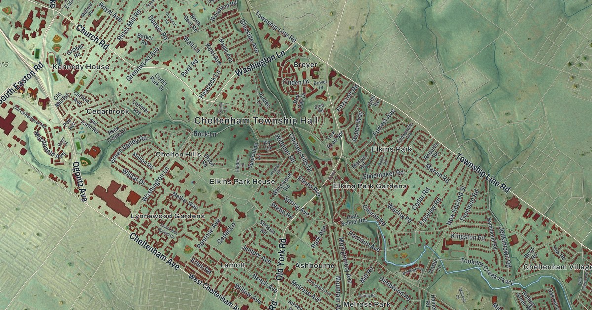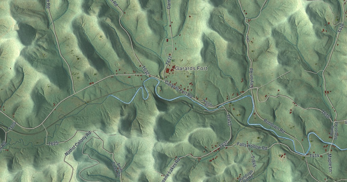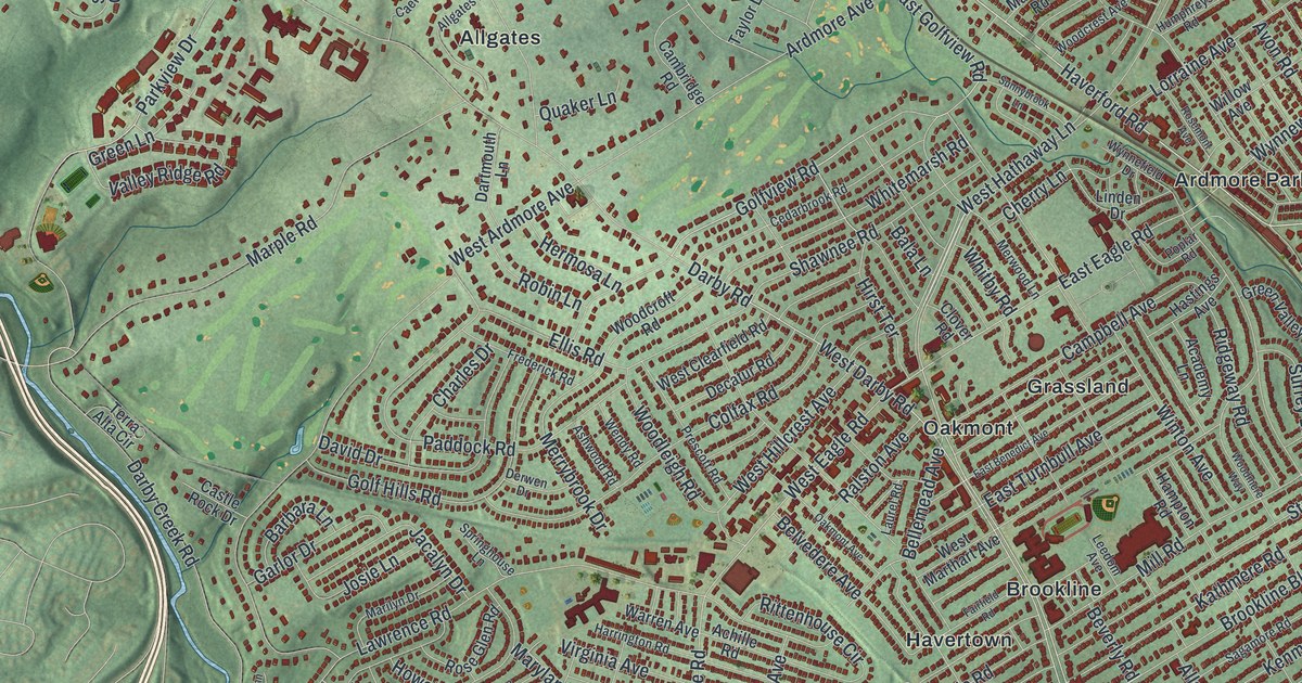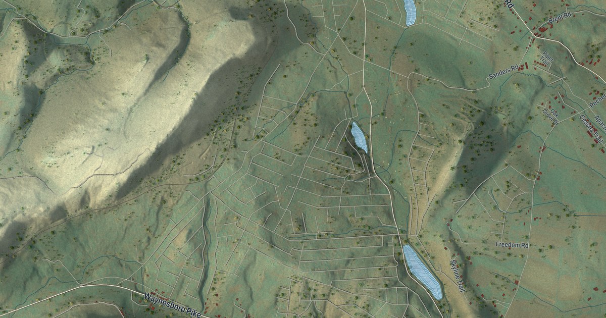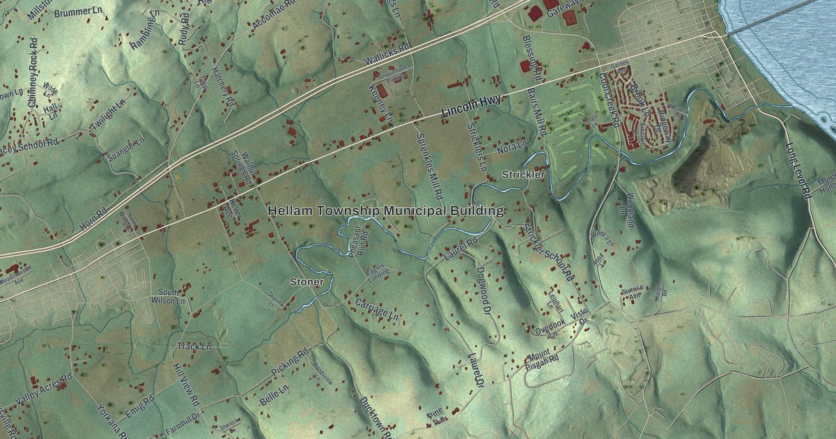
If you grew up in Hellam Township, or you still drive Lincoln Highway and Kreutz Creek Road, this map gives you a lot to find. It shows Hellam Township in York County, Pennsylvania, as a modern aerial view built from modern data, with a soft vintage look. Shaded green hills fill the sheet, and each building is a small red mark. A wide blue river curves across the top and runs down the right side. The Hellam Township Municipal Building sits near the center.
Lincoln Highway, Accomac Road and Codorus Furnace
Start at the Hellam Township Municipal Building, in the middle of the map. Lincoln Highway runs right past it. Head east, and Bairs Mill Road turns off toward Strickler. Now come back and go south on Ducktown Road, past Stoner. Freysville Road also leaves Lincoln Highway and runs south to Orchard Hill. Libhart Mill Road leads to Leiphart Mill. Near the bottom left, Campbell Road passes Crestwood East and Greystone Farms. Shoe House Road meets Lincoln Highway at the lower left.
Back at Lincoln Highway, take Accomac Road north. It climbs past Highmount and reaches Accomac beside the river. A state marker says America's first iron steamboat, the Codorus, was launched at present-day Accomac in 1825. From Accomac, turn west on Furnace Road. It winds through the hills to Codorus Furnace at the top left. River Farm Road runs past Susquehanna Riverlands State Park. Wizard Ranch Nature Preserve sits in the hills near the top, and Rocky Ridge County Park is on the left. Many roads are labeled, and each red shape is a building, so zoom in on the preview and look for yours.
How Hellam and Kreutz Creek got their names
Hellam is an old name, and it was first spelled Hallam. The 1886 History of York County says the township was formed in 1739. At first it took in most of what's now York County. It was named for Upper Hallam, a township in Yorkshire, England. That's where Samuel Blunston was born. He was a Quaker who gave out land permits for the Penns west of the river. For about thirty years, records used the spelling "Hallam." The book adds that the old spelling was never legally changed.
The same chapter explains Kreutz Creek. The name seems to come from the German word "Kreuz," which means "cross." Early papers called it Grist Creek, after John Grist. He was one of the first English settlers, and he lived near the head of the stream before 1721. German families later cleared the valley and farmed it. The book called the Kreutz Creek Valley "one of the garden spots of Pennsylvania." It also says the wooded ridge across the north, the Hellam Hills, gave timber for charcoal at the old forge. Find Kreutz Creek Road near the middle of the map. Then follow Furnace Road through those hills to where it meets River Farm Road. The Codorus Forge and Furnace Historic District, on the National Register, is right there.
For anyone who knows Kreutz Creek Road or Accomac
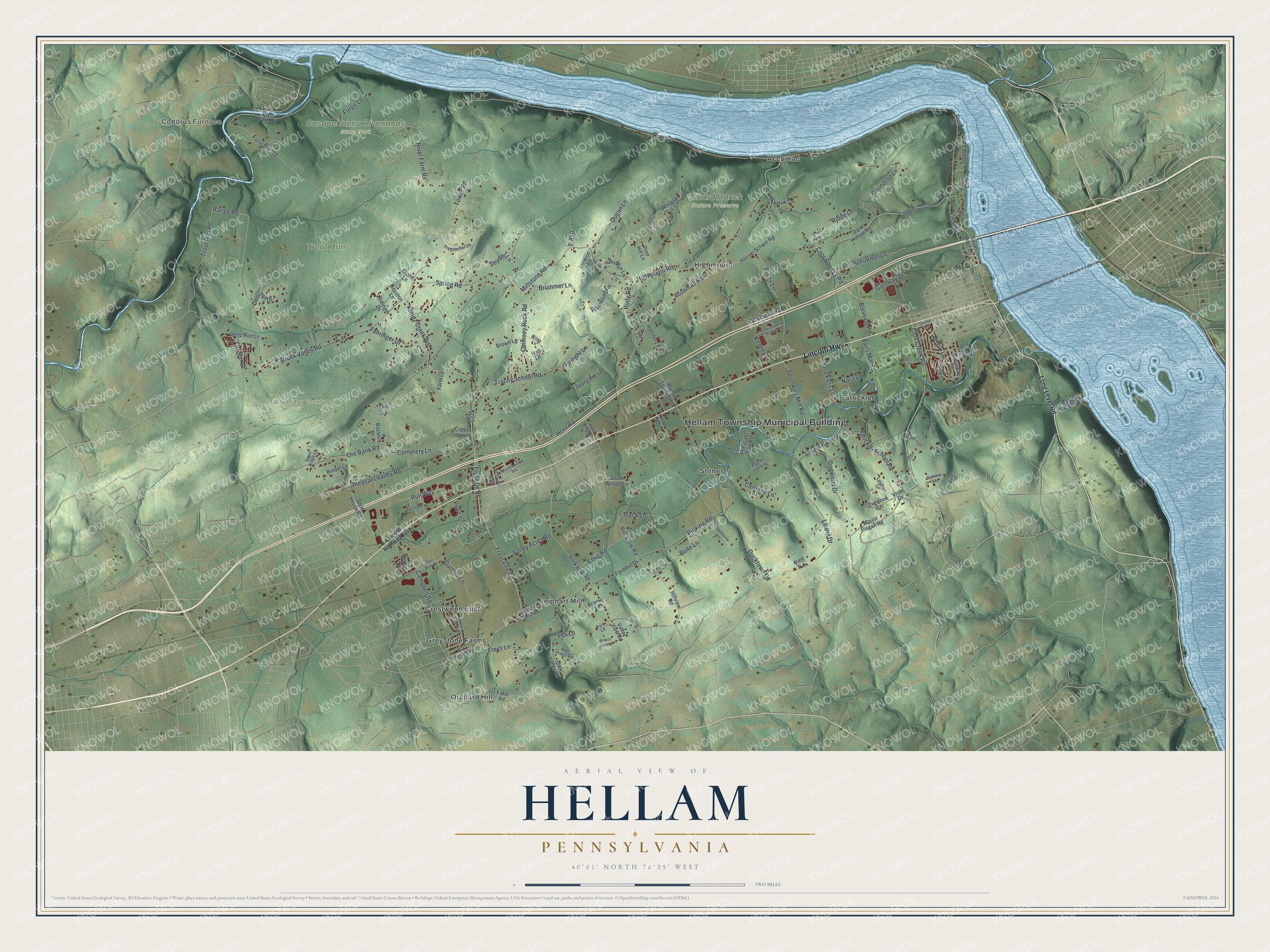
Created by KNOWOL in 2026, this Hellam Township map suits a den, a kitchen or a home office. The shaded hills come from USGS elevation data, so the ridge above Lincoln Highway is easy to see. The title panel reads "Aerial View of Hellam, Pennsylvania," with the coordinates 40°01' North, 76°35' West and a two-mile scale bar.
It's a warm gift for someone who grew up near Accomac or Codorus Furnace, has family off Kreutz Creek Road, or moved away from York County. Open the watermarked preview, find Lincoln Highway, and follow it to a road you know. See sizes and frames for the Hellam map.