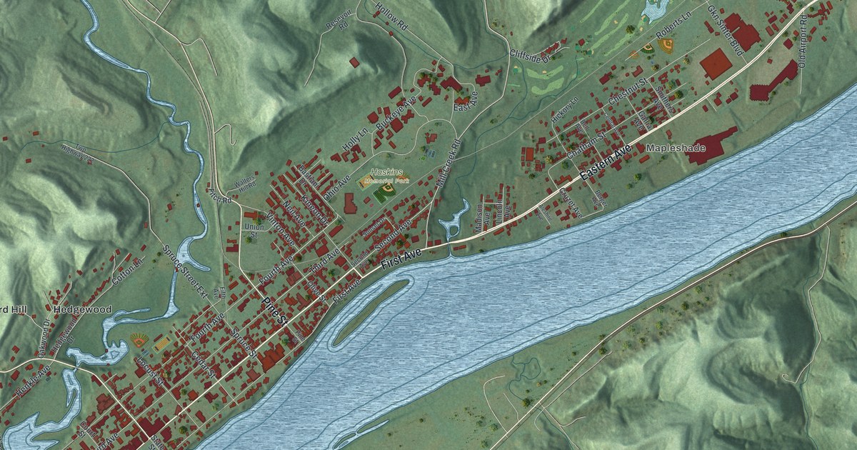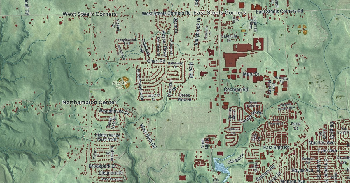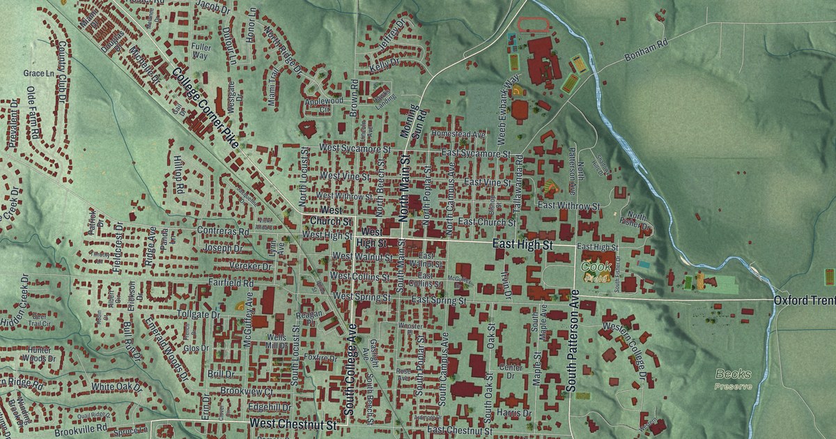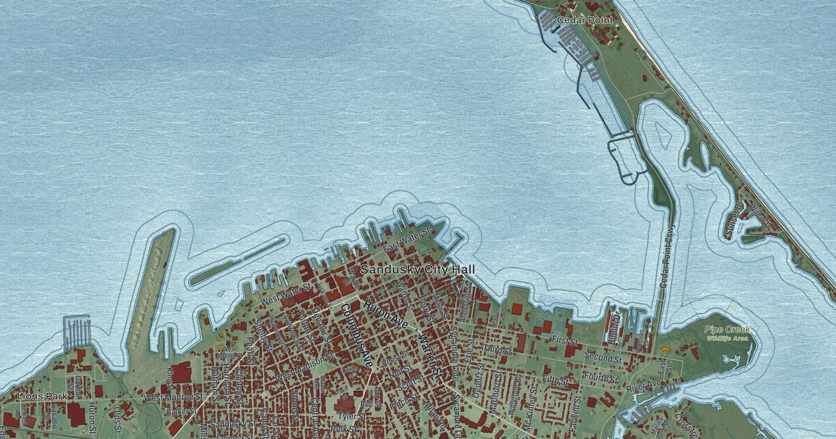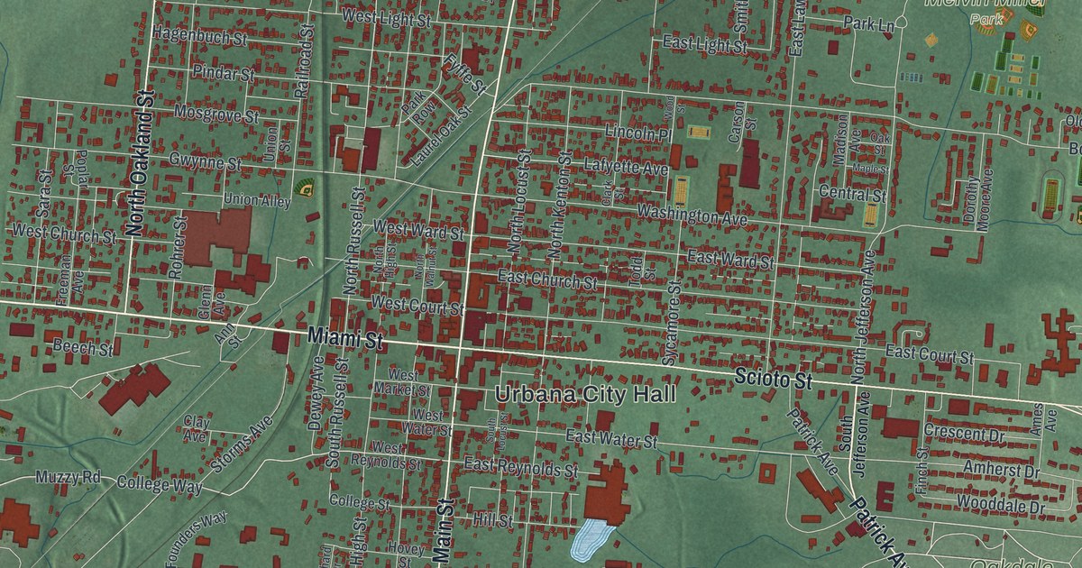
If you grew up in Urbana, or you still have family on the streets off Miami Street and Scioto Street, this map has a lot for you to find. It's a modern aerial view of Urbana in Champaign County, Ohio, made from modern data and printed with a vintage feel. The town sits in the middle of the sheet in deep red, with more than 6,000 buildings drawn. Soft green farmland and gently shaded ground run out to every edge, and a few blue ponds sit on the left side.
Urbana City Hall, Scioto Street and Oakdale Cemetery
Start at Urbana City Hall, printed in the middle of town. Miami Street runs west from it, and Scioto Street runs east. North Main Street heads straight up the sheet, and South Main Street heads down. Now follow Scioto Street east. Soon Patrick Avenue branches off to the southeast. Take it and you'll pass Oakdale Cemetery. Back on Scioto Street, keep going east. Bon Air Drive, New Haven Drive and Parkway Boulevard curve south into a neighborhood of looping streets near the bottom right.
Go back to City Hall and look north. East of North Main Street, Boyce Street and Washington Avenue run toward the right side of the sheet. Above them, Children's Home Road passes Melvin Miller Park, where small ball diamonds are drawn in pale yellow. Near the top of town, Grimes Circle curves off Main Street. West of City Hall, Miami Street runs out past Storms Avenue to Muzzy Road. Many roads are named, and each red shape is a building, so zoom in on the preview and look for yours.
Simon Kenton and the old graveyard on East Ward Street
Simon Kenton was a frontier scout. In the Revolutionary War he often served under George Rogers Clark. Later, in Urbana, he worked as the county jailer. In 1810, his eight-year-old daughter, Elizabeth, died. She was buried in the town's old graveyard, which sat right at the edge of town. Kenton owed money, and he wasn't allowed to leave the town limits because of his debts. So he followed the funeral as far as he could. Then he watched her burial from across the street. An Ohio historical marker at the corner tells the story.
That old graveyard stood at Ward and Kenton Streets. You can find East Ward Street and North Kenton Street a few blocks northeast of City Hall. The burial ground closed in 1856. Many of the people buried there were later moved to Oakdale Cemetery. Kenton is buried at Oakdale too, and his marker stands just inside the main entrance on Patrick Avenue. On the map, follow Scioto Street east to Patrick Avenue and you're there.
For someone who knows Miami Street and Scioto Street
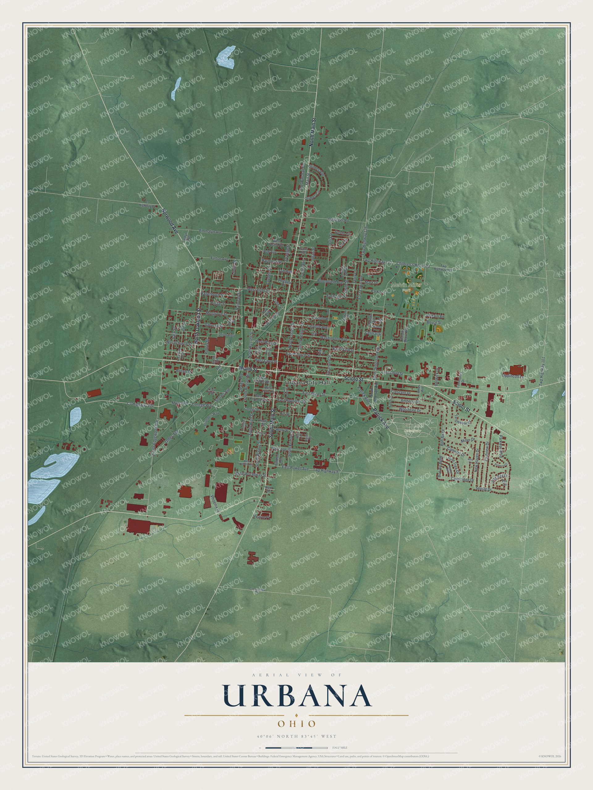
Created by KNOWOL in 2026, this map of Urbana is built from USGS elevation data and records of roads and buildings. The town shows in deep red on soft green farmland, with small blue ponds to the west. The title panel reads "Aerial View of Urbana, Ohio" with the coordinates 40°06' North, 83°45' West and a half-mile scale bar.
It fits an office, a den or a kitchen wall. It's a good gift for someone who grew up near Melvin Miller Park or North Main Street, or who moved away and still asks about home. Open the watermarked preview and find your street. See sizes and frames for the Urbana map.