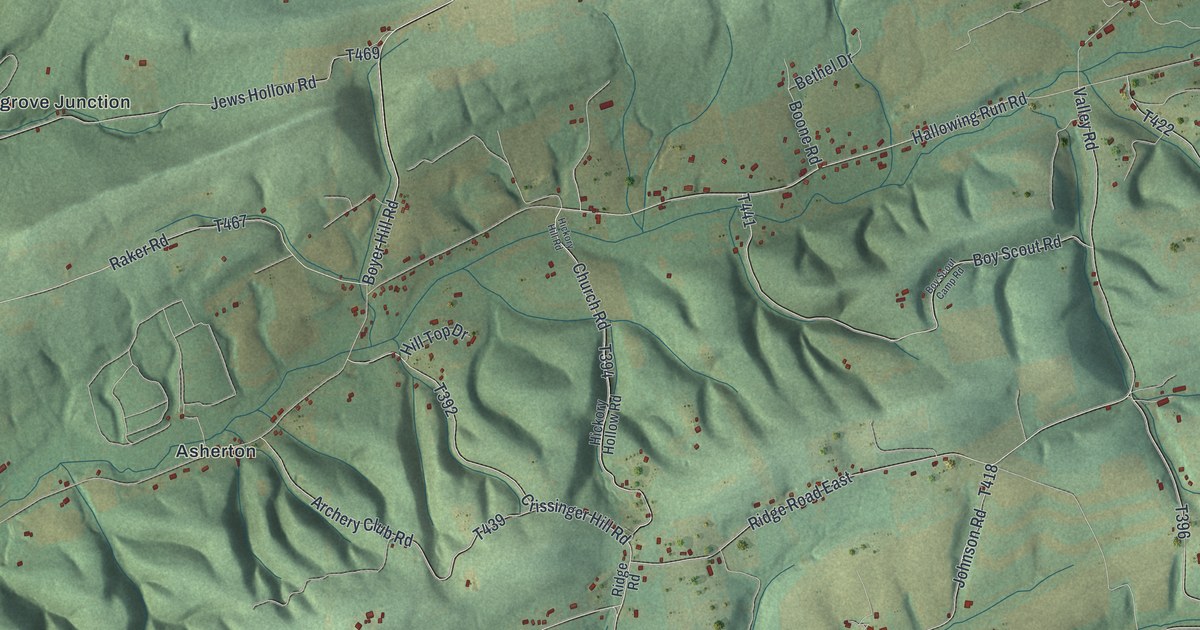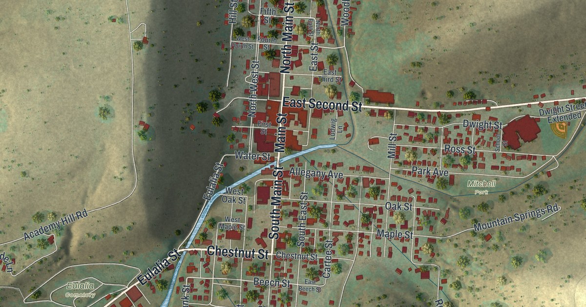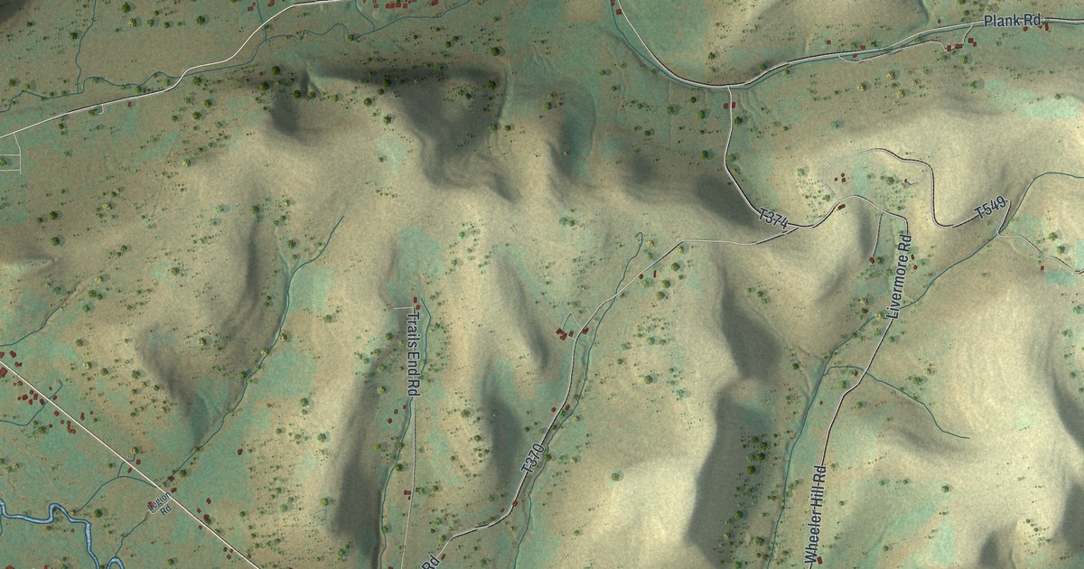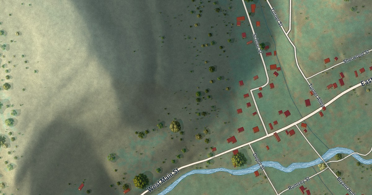
If you grew up in Port Griffith, Inkerman or Sebastopol, or still have family along Main Street, this map has your streets on it. It's a modern aerial view of Jenkins Township in Luzerne County, Pennsylvania, built from modern data and given a vintage look. Homes are marked in red where the old mining towns sit close to a wide blue river. To the east, green and tan hills rise toward State Game Lands Number 91, and a few blue lakes sit among them.
Main Street from Inkerman to Port Griffith
Start at the Jenkins Township Municipal Building on the left side of the sheet. Inkerman sits just to its right. Main Street runs past both of them. Follow it up the valley and you'll pass Port Blanchard by the river, then Port Griffith and Ewen near the top of the sheet. Along the way, Thompson Street climbs from Main Street toward Sebastopol. Friend Street and Hospital Street sit close by. Tedrick Street links Sebastopol with Market Street and Oak Street, and Yatesville Road runs just past it.
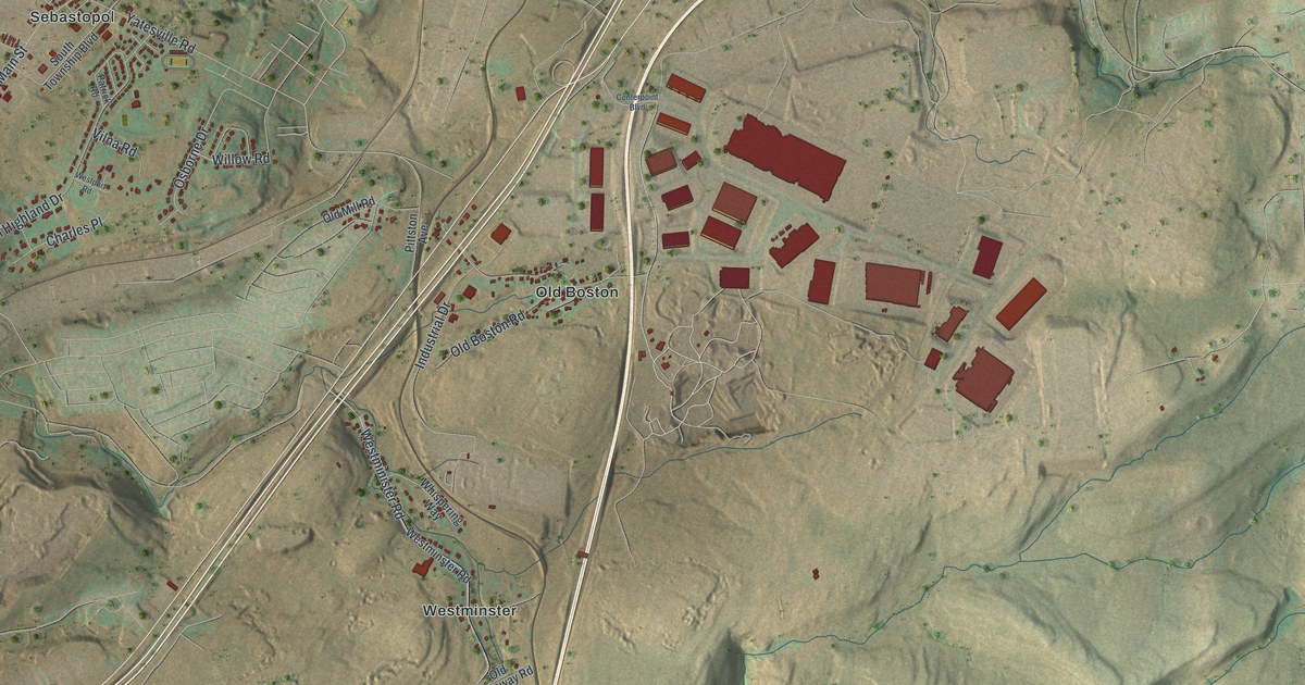
Now go back to the Municipal Building. Laflin Road heads east and meets Carey Lane and Rutledge Street. Farther east, Old Boston Road meets Industrial Drive at Old Boston. Just past it, a group of very large red buildings stands out. Below Old Boston, Westminster Road runs south past Whispering Way to Westminster. Suscon Road runs down the right side of the sheet, past State Game Lands Number 91. Many roads are labeled, and each red shape is a building, so zoom in on the preview and look for yours.
The Knox Mine Disaster at Port Griffith in 1959
Look again at Port Griffith and the wide blue river beside it. On January 22, 1959, twelve men died at the River Slope Mine near Port Griffith. The Knox Coal Company had the mine dug under the Susquehanna River, and that was against the law. The river was full of ice. Its force broke through the thin layer of rock over the mine. More than ten billion gallons of water poured into this mine and others. In 1999, the Pennsylvania Historical and Museum Commission dedicated a marker on Main Street in Port Griffith. It stands at the former St. Joseph's Catholic Church. The marker says the disaster ended deep mining in much of the Wyoming Valley.
How Port Griffith and Port Blanchard got their names
The town names on the map are older than that mine. An 1893 county history says Port Griffith was named for one of the first stockholders of the Pennsylvania Coal Company. The company had a mine there, and for a time its railroad ended there. Port Blanchard, a little below it, was named for John Blanchard, an early resident. The first settler there was Capt. Jeremiah Blanchard, who built a log house. By 1893 Port Blanchard had a river ferry and a hotel. Inkerman started in 1810, when Peter Winter opened a blacksmith shop there. The township itself is named for Col. John Jenkins. It was split off from Pittston on June 24, 1852.
From Port Blanchard to State Game Lands Number 91
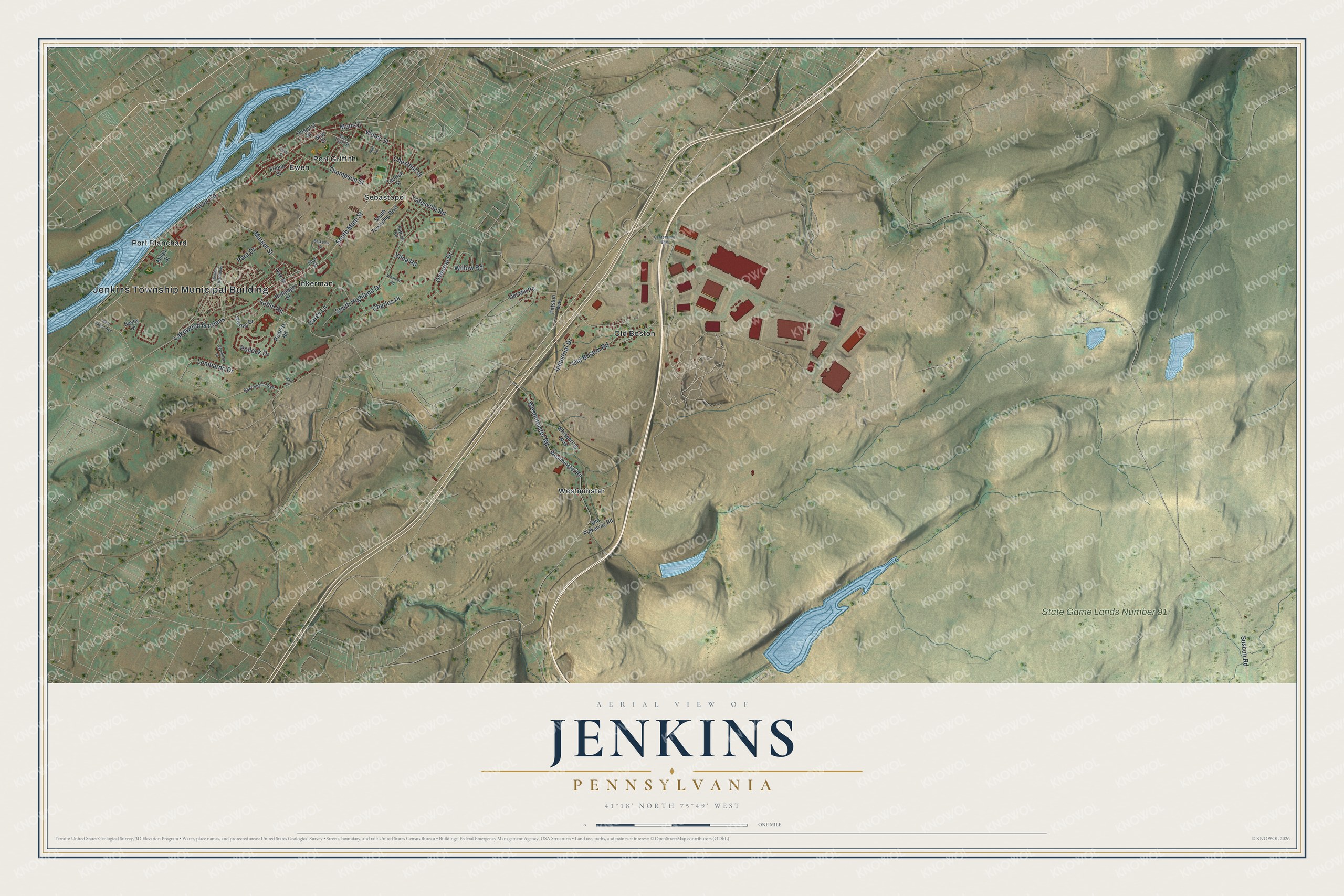
Created by KNOWOL in 2026, this map of Jenkins shows the hills in green and tan shading from USGS elevation data, with the river and lakes in blue and buildings in deep red. The title panel reads "Aerial View of Jenkins, Pennsylvania," with the coordinates 41°18' North, 75°49' West and a one-mile scale bar.
It suits a kitchen, a den or a home office. It's a good gift for someone who grew up near Main Street in Port Griffith, a family with roots in Inkerman, or anyone who moved away from Luzerne County. Open the preview, find the Municipal Building and follow Main Street to a street you know. See sizes and frames for the Jenkins map.