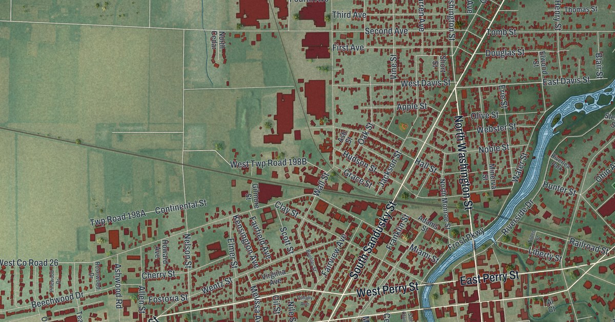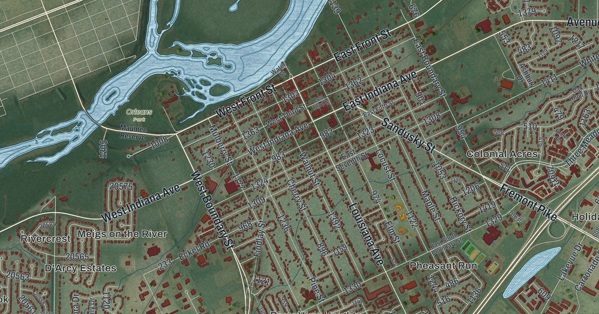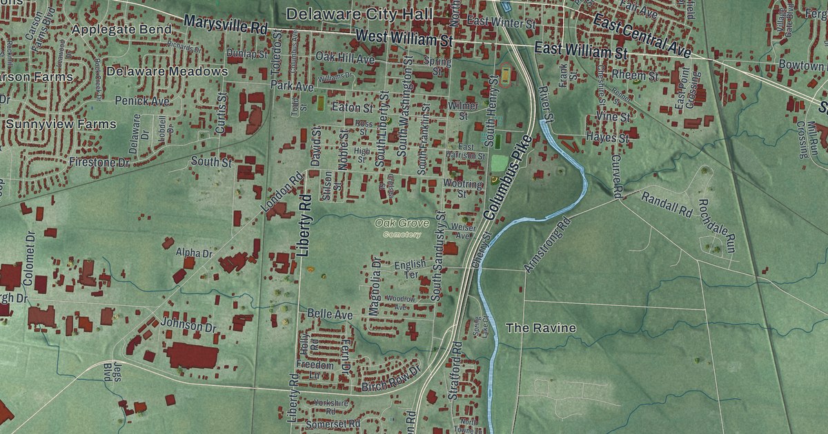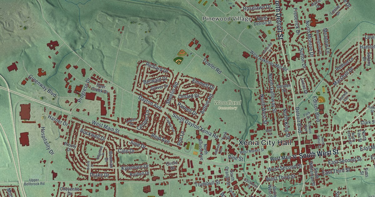
If you grew up in Xenia, went to school here, or still have family near Detroit Street, this map gives you plenty to find. It's a modern aerial view of Xenia in Greene County, Ohio, built from modern data and given a vintage feel. The city spreads out from downtown in every direction, with more than 13,000 buildings drawn in red. Rolling green land wraps around it. Gerdes Turf Farm is printed in the lower left, and a creek winds across the top.
Detroit Street, West Main Street and Woodland Cemetery
Start at Xenia City Hall, printed near the middle of the map. Downtown is the tight grid of red around it. North Detroit Street runs up from here toward the top of the sheet, with Pinewood Village just to its west. South Detroit Street heads the other way, toward the bottom. Now follow West Main Street out to the west. A few blocks along, Woodland Cemetery is printed just above it, with Towler Road and Omard Drive on its edges.
Back downtown, Columbus Avenue angles off to the northeast. Cincinnati Avenue heads south past Walnut Street and Industrial Boulevard. Home Avenue runs southeast to Wesley Avenue. Out on the southwest side, Colorado Drive leads into streets named for states, like Wyoming, Nebraska, Montana and Tennessee Drives. Near the bottom center, High Wheel Drive links Orville Way, Wright Avenue and Schwinn Avenue. Many of the roads are labeled, and each red shape is a building, so zoom in on the preview and look for yours.
Gowdy Cemetery on East Third Street
James and Samuel Gowdy opened Xenia's first permanent store in 1806. In 1820, James Gowdy sold a piece of land to the Associate Reformed Church for a burial ground. The price was 50 cents. Robert Kendall, a Revolutionary War veteran who died in 1842, is buried there. So are many of the people who helped Xenia's stores and trade grow. Then Woodland Cemetery was chartered in 1845, and the Gowdy ground fell out of use. Its last burial was James Gowdy, in 1853. An Ohio historical marker tells the story outside the cemetery fence at 561 East Third Street.
Find East Third Street on the map, east of downtown. That's where the old burial ground still sits. Then go back to the Woodland Cemetery label, northwest of City Hall. One is where Xenia buried its people before 1845, and the other is where it turned after. Close to downtown, the Greene County Historical Society cares for the Galloway log house, built around 1799. The 1974 Xenia tornado badly damaged it. The society restored it, and it still stands close to downtown.
A Xenia map for anyone who knows Detroit Street
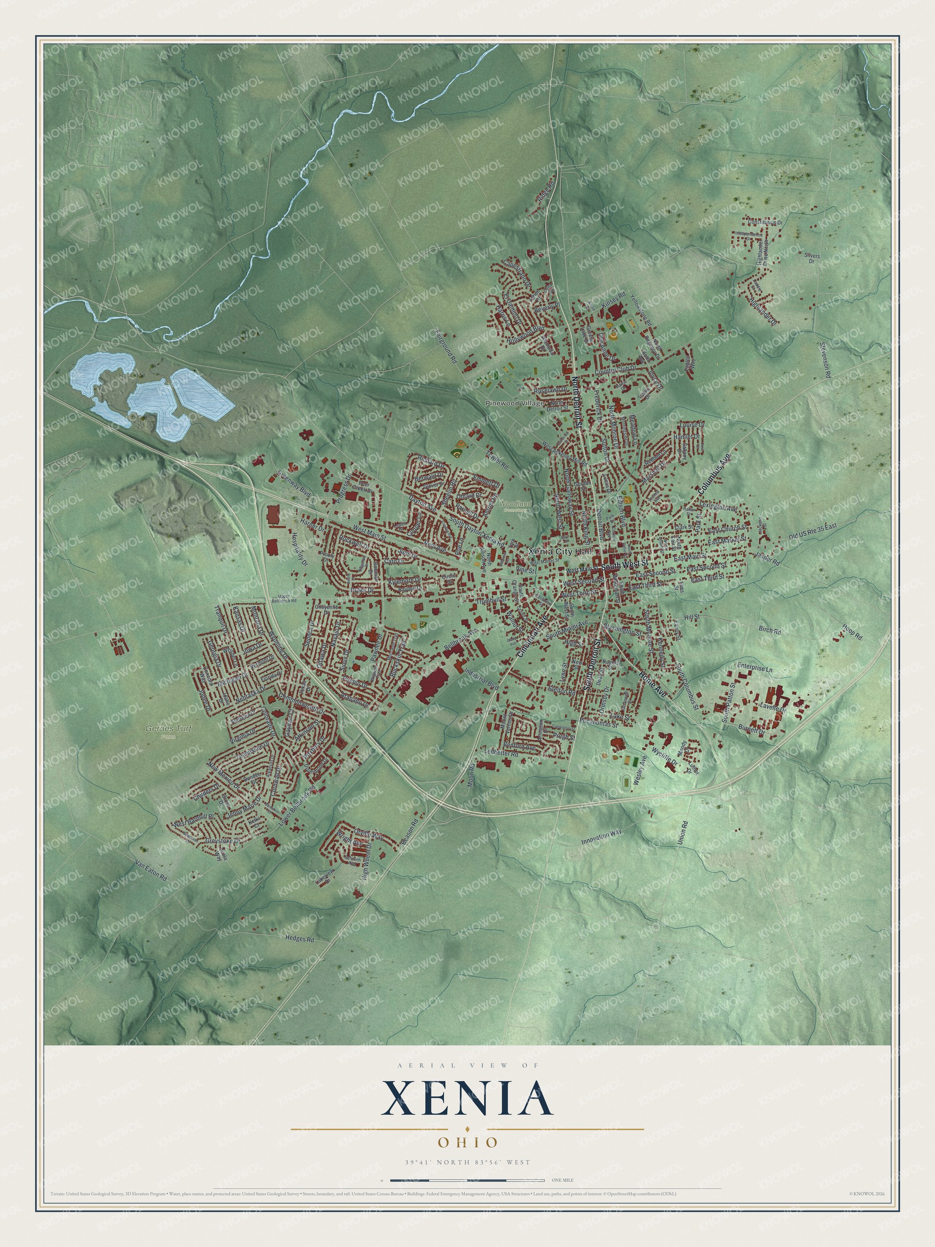
Created by KNOWOL in 2026, this Xenia map shows the rolling land in shaded green from USGS elevation data. The streets come from Census Bureau records, and the buildings are drawn in dark red. A thin blue creek winds across the top left, and three pale blue ponds sit just below it. The title panel reads "Aerial View of Xenia, Ohio" with 39°41' North 83°56' West and a one-mile scale bar.
It suits a den, a kitchen or an office wall. It's a good gift for anyone who grew up in Xenia and moved away, or who still has family off Detroit Street. Open the preview, zoom in on downtown and find a block you know. See sizes and frames for the Xenia map.