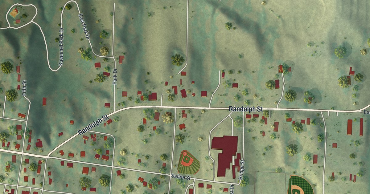
If you grew up in Glasgow, went to church on Commerce Street, or still have family out on Randolph Street, this map gives you plenty to find. It's a modern aerial view of Glasgow in Howard County, Missouri, made from modern data with a vintage look. A wide blue river runs down the whole left side of the sheet, and a long bridge crosses it near the bottom. More than 500 buildings are marked in deep red. They're packed tightest in the grid of streets by the water, with green shaded hills all around.
From First Street by the river to Randolph Street
Start where First Street meets Saline Street, close to the river on the left side of the sheet. First Street runs south along the water, where the red buildings sit closest together. Commerce, Market, Howard and Washington Streets cross the grid in rows below Saline. Second, Third, Fourth and Fifth Streets cut through them the other way. Boone and Jackson Streets sit at the bottom of the grid, just above the long bridge.
Now follow Saline Street east to Union Street. Union Street climbs north into the hills, toward Orchard Drive, Lake View Drive and Audsley Drive. Randolph Street leaves the grid just past that corner. It swings northeast, then runs straight east across the middle of the sheet. East Randolph Street carries on toward the right edge. Down in the lower left, Industrial Drive and Penny Plate Drive sit beside a winding creek. Many of the roads are labeled, and each red shape is a building, so zoom in on the preview and look for yours.
Vaughan and General Clark at the Battle at Glasgow
The Civil War came right to these streets. An 1883 history of Howard County lists the "Battle at Glasgow" in its chapter on the war. It also tells about a man named Vaughan, "one of the oldest residents of Glasgow." During the fighting, he left the city on his own. He went out to the spot where General Clark sat on his horse, watching the fight. Vaughan went to ask the general, if he could, to stop firing on the city. On this map, the grid between First Street and Union Street sits low by the river, with green hills rising on the other three sides.
Glasgow's National Register places on Commerce and Market Streets
Churches go back a long way here. The same 1883 history says the Methodists were the first church group in Glasgow. Today, Glasgow Presbyterian Church stands where Commerce and Fourth Streets meet. It's on the National Register of Historic Places. So is Campbell Chapel African Methodist Episcopal Church, at 602 Commerce Street. The Glasgow Public Library is one block south, at the northwest corner of Market and Fourth Streets. Inglewood, a house at 701 Randolph Street, is listed too. Find where Fourth Street crosses Commerce and Market Streets, and the church and library are right there.
For anyone who knows Commerce Street in Glasgow
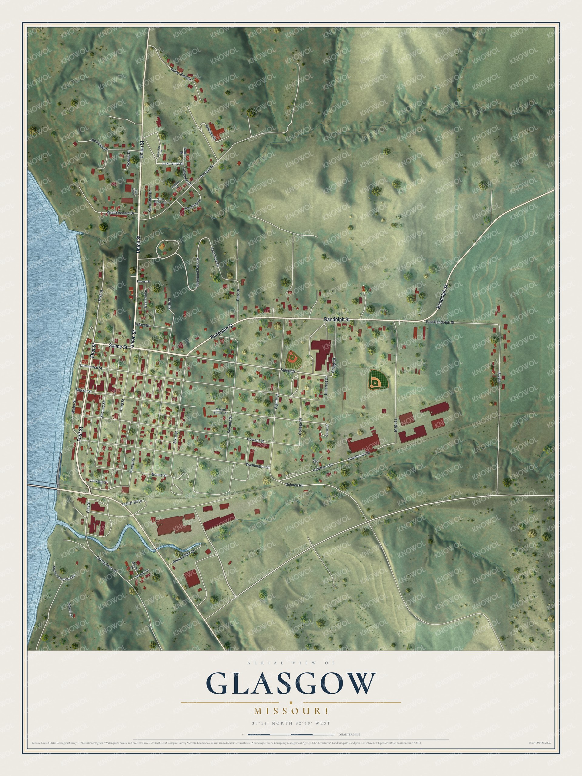
Created by KNOWOL in 2026, this Glasgow map suits a den, an office or a front room. The hills are shaded from USGS elevation data, the river is a soft blue, and the buildings are marked in deep red. The title panel reads "Aerial View of Glasgow, Missouri," with the coordinates 39°14' North, 92°50' West and a quarter-mile scale bar.
It's a thoughtful gift for someone who grew up near the Glasgow Public Library, went to church on Commerce Street, or moved away from Howard County. Open the preview and follow Randolph Street to a block you know. See sizes and frames for the Glasgow map.