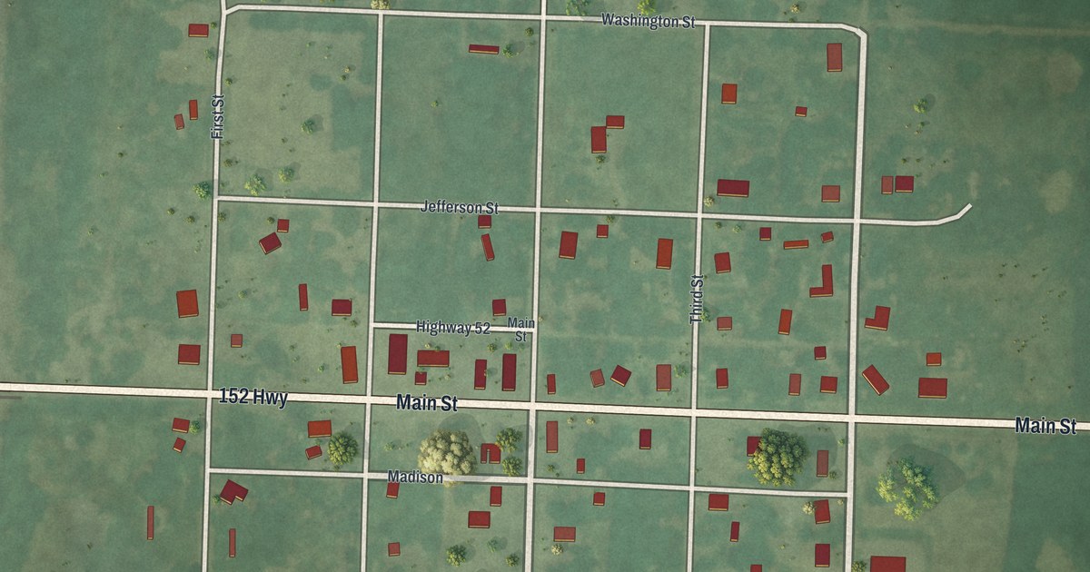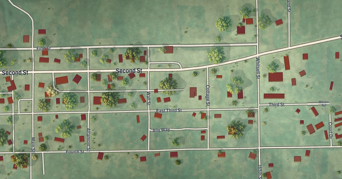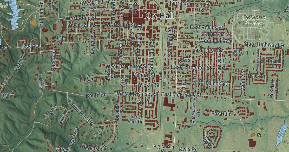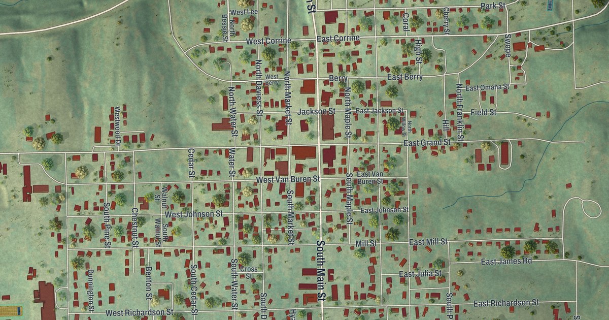
If you grew up in Gallatin, shop on the square or have family on North Main Street, this map gives you plenty to find. It's a modern aerial view of Gallatin, the county seat of Daviess County, Missouri, made from modern data and given a vintage look. Soft green hills are shaded all around, and more than 1,000 buildings are drawn in red. The town fills the upper middle of the sheet. Open farm country and small creeks run down to the bottom edge.
North Main Street to the Gallatin square
Start at the top of the sheet, where North Main Street drops south off a long road that crosses the map. George Allen and Park Street sit near the top of town. Then East Corrine and West Corrine cross, followed by Berry and Jackson Street. Just past Jackson Street, the red blocks get thickest. That's the square. West Grand Street and East Grand Street meet North Main Street right there.
Keep heading south past West Van Buren Street, and the road turns into South Main Street. Mill Street, East Richardson Street and East Burns Street run off to the east. Past Forest Street and Elm Street, South Main Street bends southeast toward the corner of the sheet. Back at the square, follow West Grand Street west past Cedar Street to Lake Street and North Fuller Street. Many roads are named, and each red shape is a building, so zoom in on the preview and look for yours.
The lookout in the Gallatin courthouse cupola
Gallatin was a new town when it became the county seat. According to a 1922 history of Daviess County, merchants from Mill Port "lost no time" moving here. They were among the first merchants in Gallatin. The same book tells of hard, divided years. Major McGee reported that in the fall of 1860, only 20 men in Gallatin favored the Union. Only eight would say so openly. When the war came, rebels in town could climb into the cupola of the courthouse. With a field glass, they could see a Union camp four miles off. One account in the book, written from that camp, says the rebels guessed it held 1,000 men. That was far more than were really there.
Today the Daviess County Courthouse on the square is listed on the National Register. Look for it between Jackson Street and West Grand Street, just west of North Main Street. The old Daviess County Rotary Jail and Sheriff's Residence is listed too. It stands a short walk west on Jackson Street. Then look at the open hills shaded around town. That's the kind of country the lookouts were watching.
For someone who knows the square on North Main Street
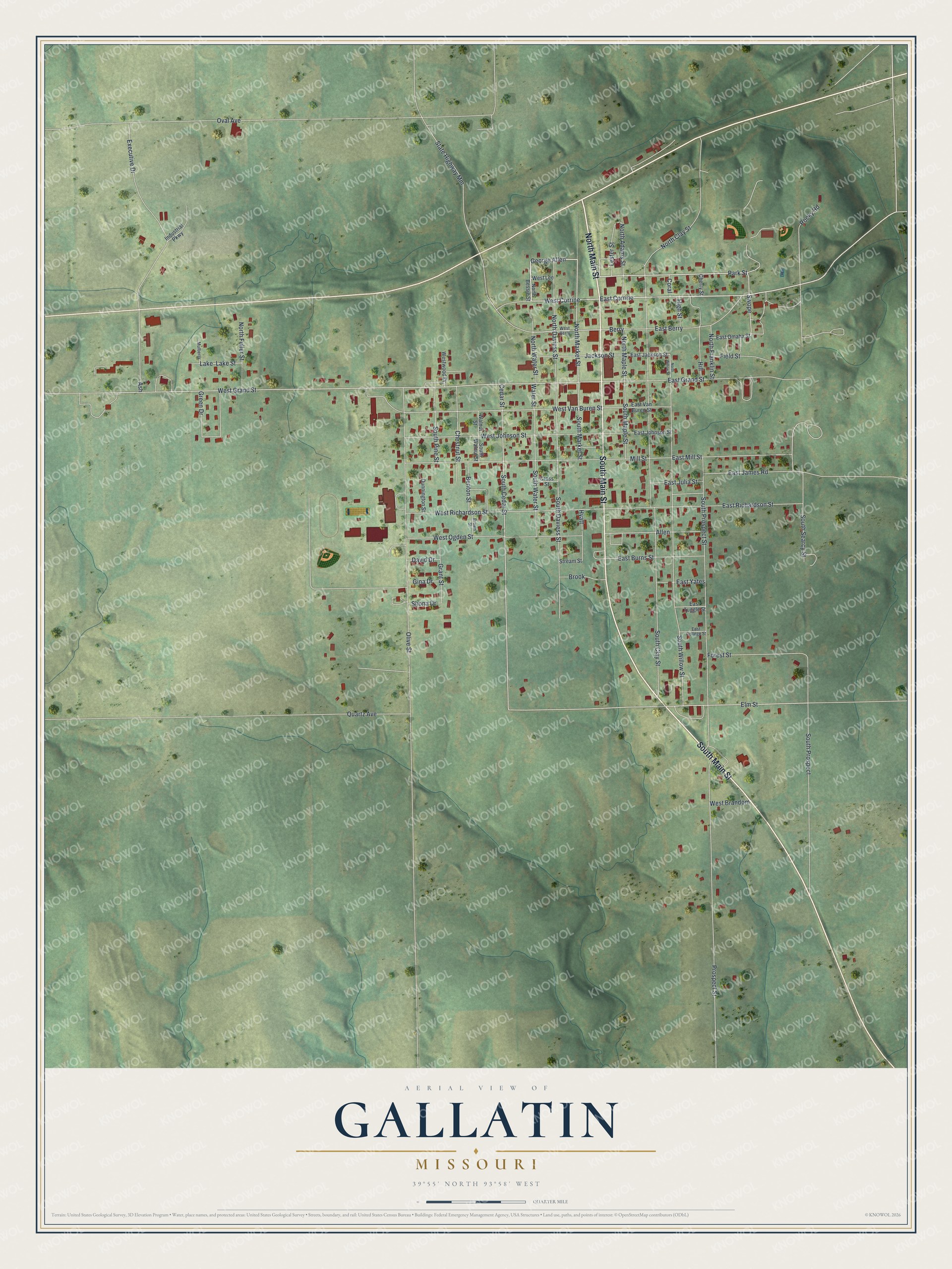
Created by KNOWOL in 2026, this Gallatin map shades the hills from USGS elevation data and draws each building in deep red against soft green country. It fits a kitchen, a den or an office wall where someone can stop and find a familiar block. The title panel reads "Aerial View of Gallatin, Missouri" with the coordinates 39°55' North, 93°58' West and a quarter-mile scale bar.
It's a thoughtful gift for someone who grew up near the Daviess County Courthouse, moved away from Gallatin, or still has family on South Main Street. Open the preview, zoom in and find the street you know. See sizes and frames for the Gallatin map.