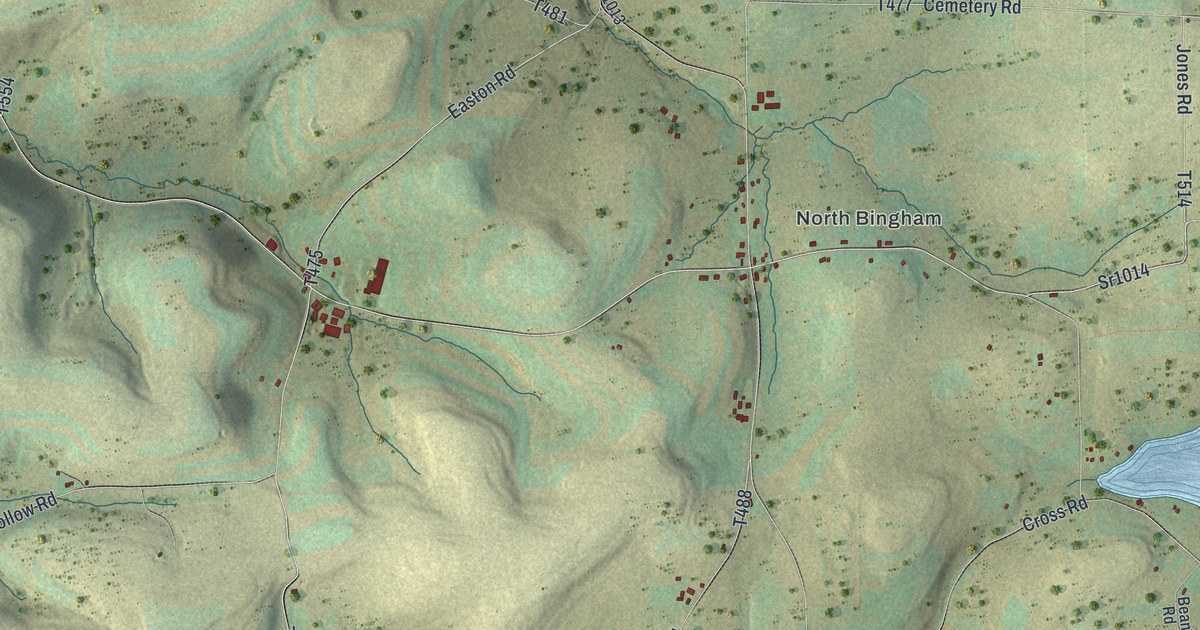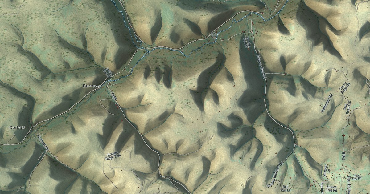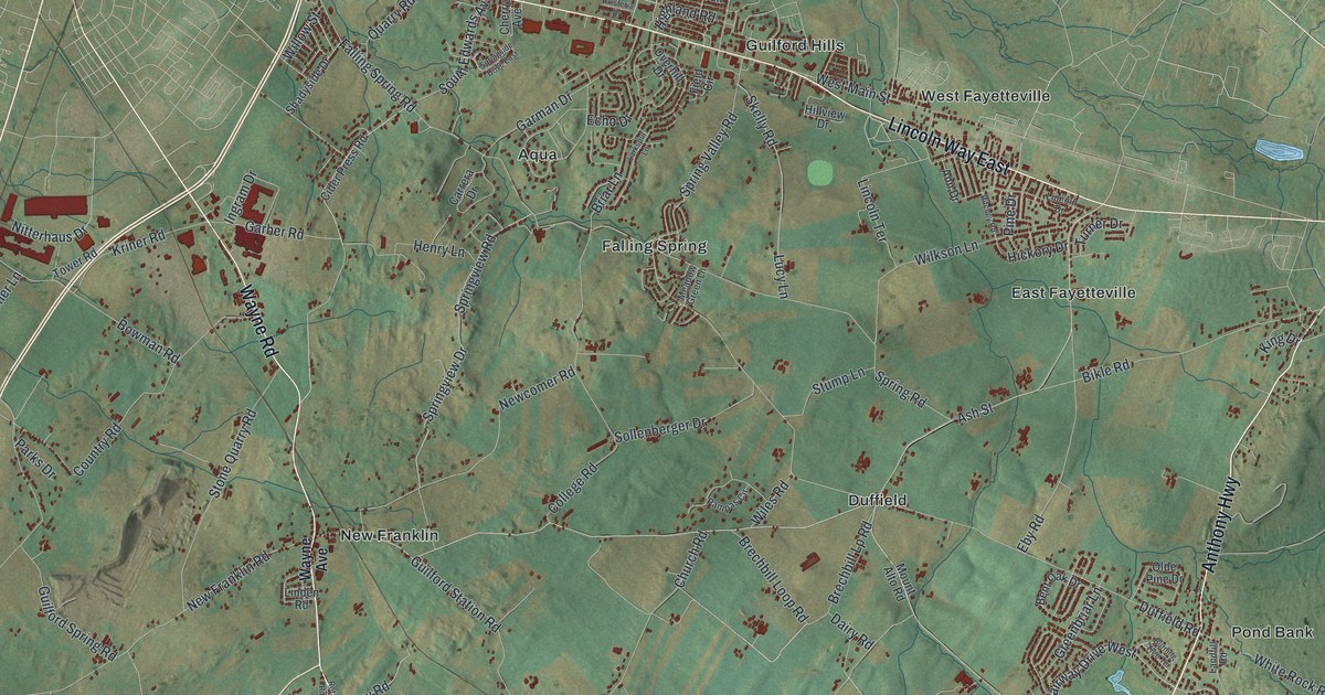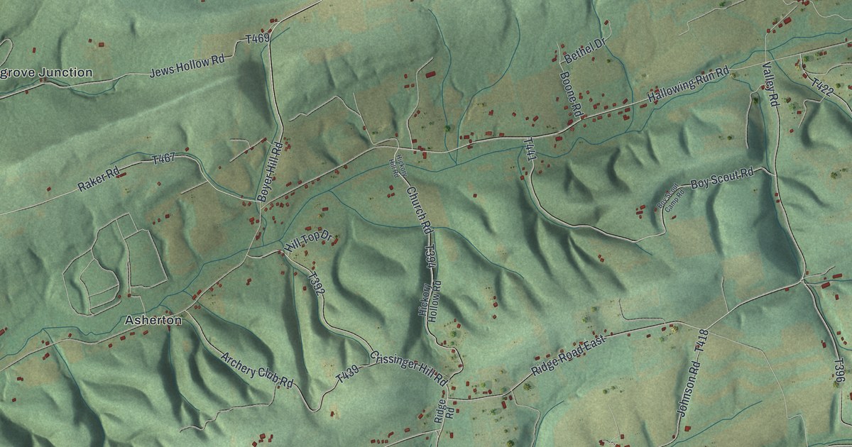
If you grew up in Lower Augusta Township, or your family still lives along Boyles Run Road or Hallowing Run Road, this map gives you plenty to find. It's a modern aerial view of Lower Augusta Township in Northumberland County, Pennsylvania, made from modern data with a vintage artistic feel. Long green ridges cross the sheet, and small red buildings sit in the valleys between them. The Susquehanna River runs down the left side. Six small places are named, from Fishers Ferry by the river to Mile Run in the hills.
From Fishers Ferry to Mile Run by the valley roads
Start at Fishers Ferry, low on the left side of the sheet, where the land meets the wide blue river. Boyles Run Road starts near there and heads east. School House Road branches off close to the start. Keep going and you'll pass Ditty Road and Johnson Road, then reach Patricksburg in the middle of the map. Boyles Run Road keeps on to Resler, with Shingara Lane and Dornsife Mountain Road close by.
Now go back to the river and head north to Asherton. Hallowing Run Road starts near there and runs east and uphill. It crosses Archery Club Road, Church Road and Crissinger Hill Road. Past Boy Scout Road and Valley Road, it meets Christmas Road and runs up to Mile Run on the right. Selinsgrove Junction sits by the river just above Asherton. Many of the roads are labeled, and each small red shape is a building, so zoom in on the preview and look for yours.
How Boyles Run and Hallowing Run shaped the roads
Lower Augusta was split off from Augusta Township on April 13, 1846. An 1891 history of Northumberland County describes the land as ridges and valleys running east and west. It says the two most important valleys are the ones drained by Boyle's Run and Hollowing Run. The banks of those streams gave a level bed for the main roads. You can still see it on this map. Boyles Run Road and Hallowing Run Road are the two longest printed roads, and both run east between the ridges.
The same history tells how Fishers Ferry began. Colonel Auchmuty owned the site early on. He started the ferry and built a hotel and a ferry house by the river. In 1852 the land went to Jonathan Reitz, who sold it off in lots. The hotel closed, and Reitz opened a general store in the old hotel building. The post office came in 1854. A Presbyterian church was started in 1825 in an old school house at Fishers Ferry. In 1830 its members built a small frame church on land given by William Shipman. The pastor, Samuel Henderson, was the first to clear away the brush and break ground. The name Shipman is still printed near the top of the map, on Shipman Road.
For someone who grew up along Boyles Run Road
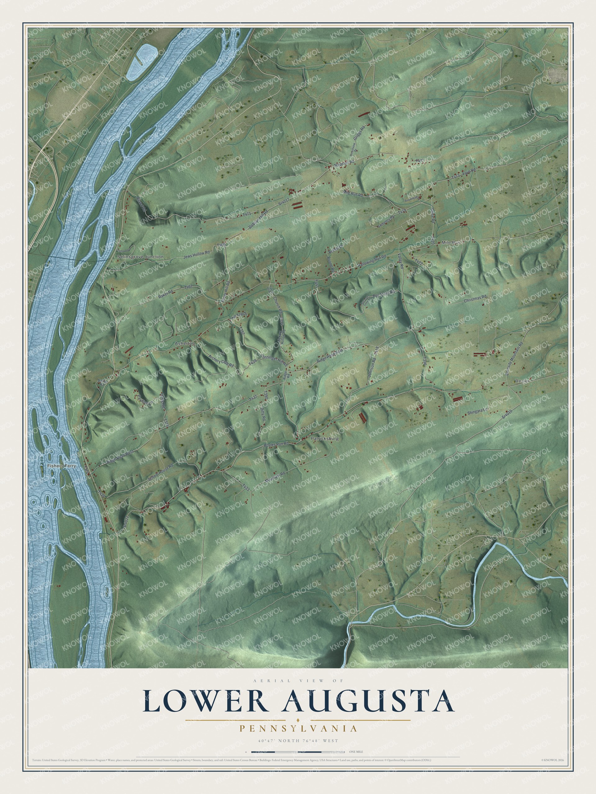
Created by KNOWOL in 2026, this Lower Augusta map uses USGS elevation data to shade the ridges in soft green, with the river in blue down the left side. Roads are drawn from Census Bureau records, and the buildings show up as small red shapes. The title panel reads "Aerial View of Lower Augusta, Pennsylvania" with 40°47' North 76°48' West and a one-mile scale bar.
It suits a den, a farmhouse kitchen or an office wall. It's a thoughtful gift for someone who grew up near Fishers Ferry or Patricksburg, or who has family still living out on the ridges. Open the preview and follow Boyles Run Road from the river to a place you know. See sizes and frames for the Lower Augusta map.