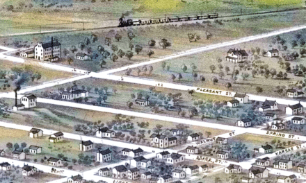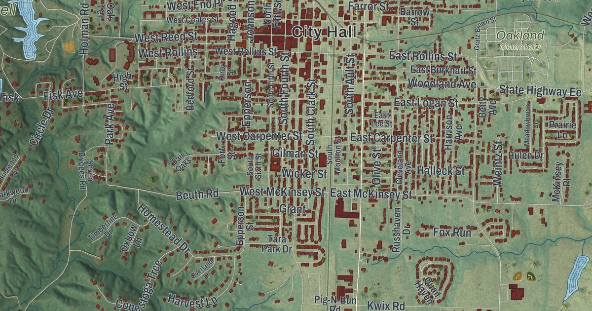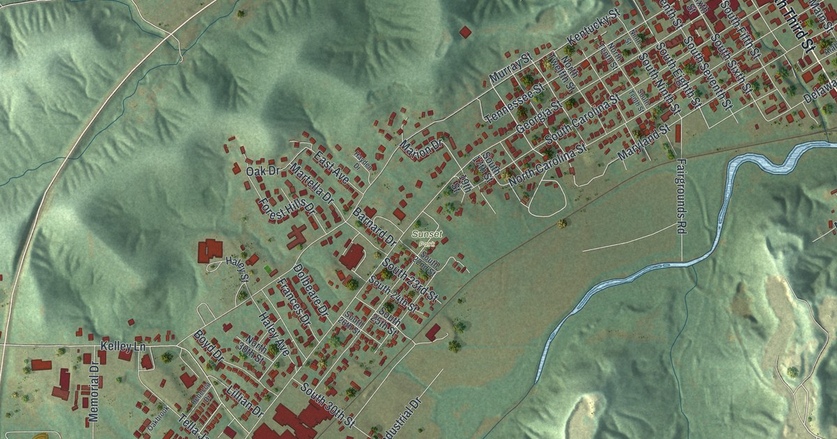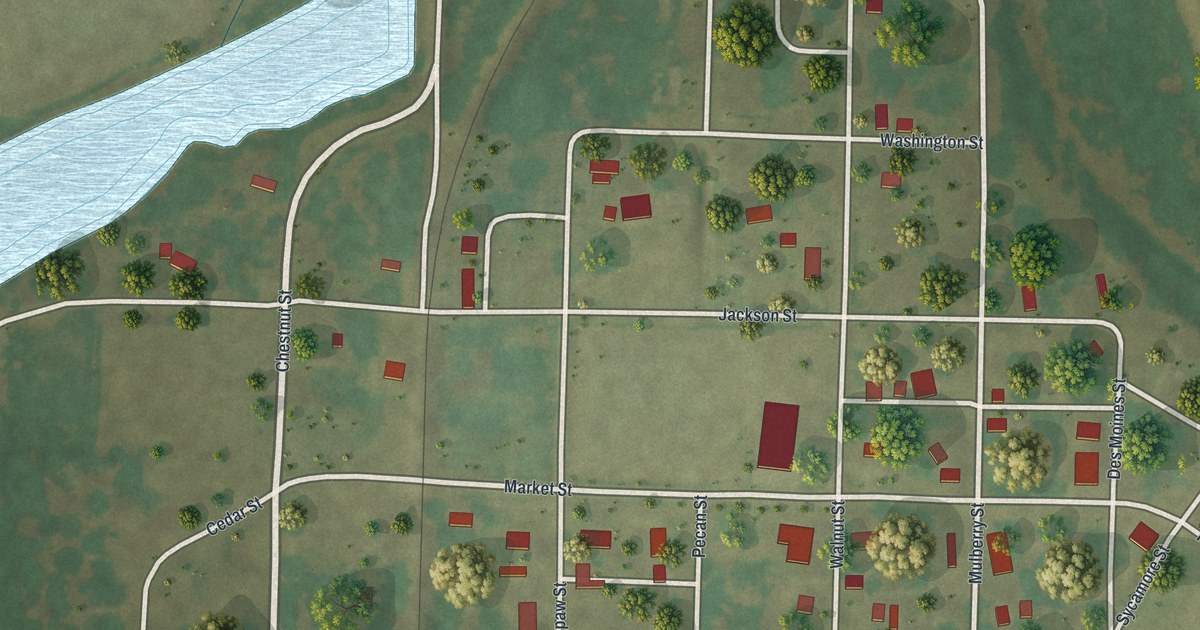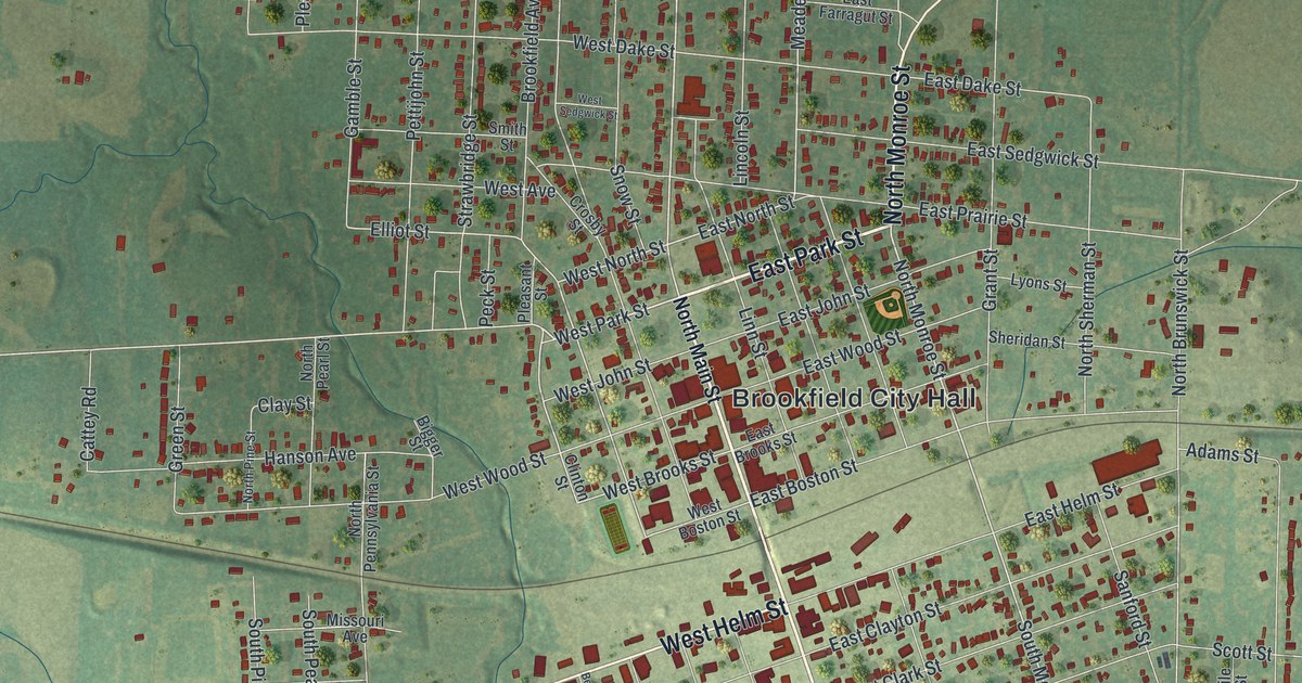
If you grew up in Brookfield or still have family a few blocks from Main Street, this map gives you a lot to find. It's a modern aerial view of Brookfield in Linn County, Missouri, made from modern data with a vintage look. More than 2,500 buildings are marked in red, from the blocks around Brookfield City Hall to the homes along Hyatt Street. Soft green hills and farm fields fill the edges of the sheet. Up close, you can find your own street.
From Brookfield City Hall down South Main Street
Start at Brookfield City Hall in the middle of the map. East Park Street runs just above it, and North Main Street heads north into the older blocks. Now follow Main the other way. It turns into South Main Street, and West Helm Street crosses it just south of downtown. East Helm, East Clayton and East Clark Streets line up to the east. Keep going south past East Lockling Avenue to Forrest Street.
Rosehill Cemetery sits just below Forrest Street, near the bottom right. First Street and Shale Road run beside it. Out west, West Helm Street heads toward South Pershing Road, where a group of large buildings sits near Belview Drive. Old Highway 36 and Image Road cross the bottom of the sheet. Many of the roads are labeled, and each red shape is a building, so zoom in on the preview and look for yours.
How Brookfield got its start in the 1860s
Brookfield became a voting precinct in Jefferson Township on February 6, 1865. It was incorporated as a town on October 10, 1866. According to a 1912 county history, a man named Dennis took charge of one of its first businesses. His wife helped him run it. The book calls her the first woman to live in Brookfield.
Brookfield's marble soldier between the parks
The same book tells about a monument the people of Brookfield built for the soldiers of the Civil War. It stood in the oval between the east and west parks. On top was a volunteer soldier carved in Italian marble, standing at parade rest. The writer said he looked down on the busy main street by day. At night, he kept watch over the sleeping city. The tribute also remembered "the gallant men in gray" who fought on the other side. Today, East Park Street and West Park Street are printed near Brookfield City Hall, close to Main Street.
For someone who knows South Main Street in Brookfield
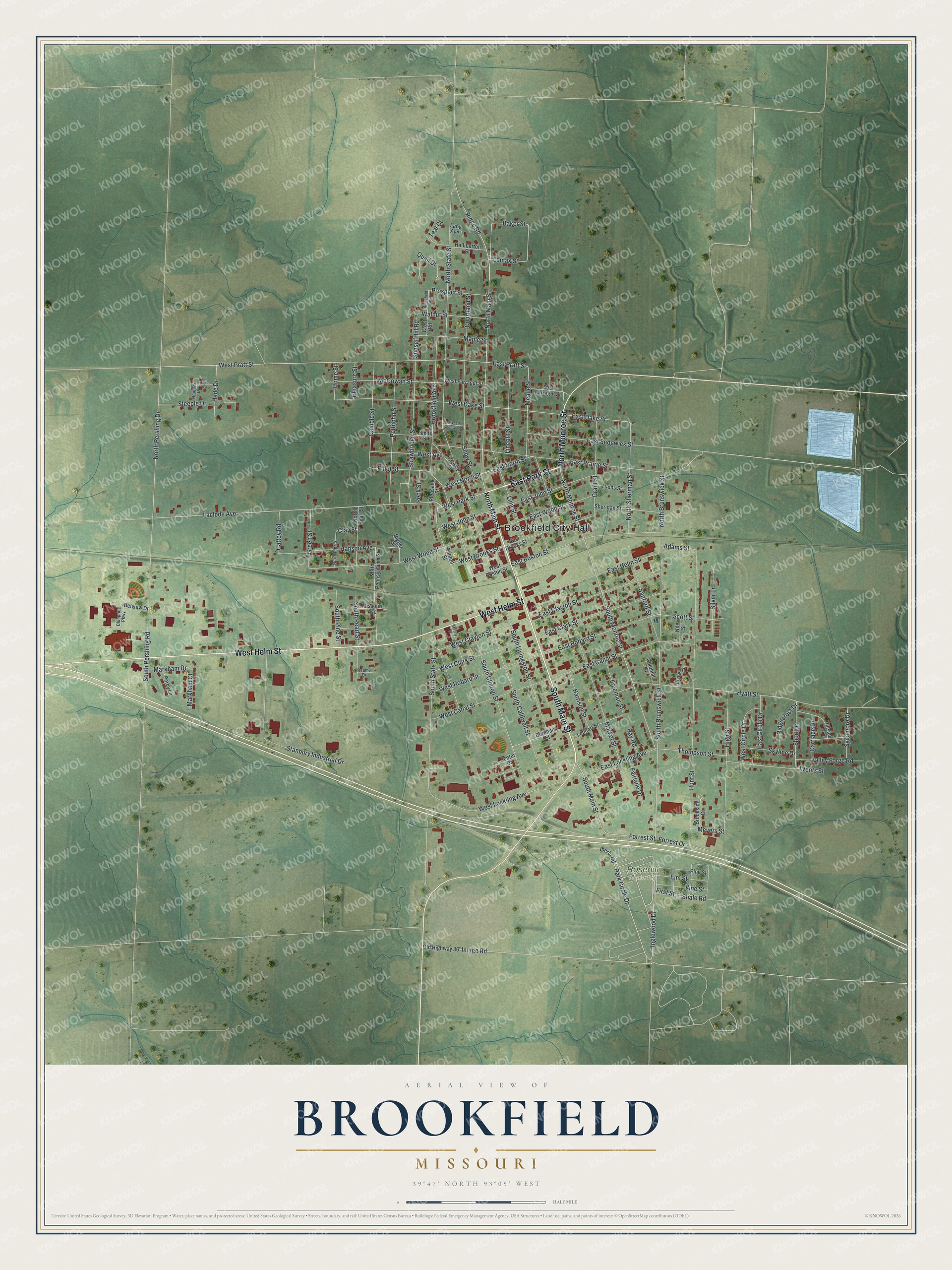
Created by KNOWOL in 2026, this Brookfield map suits a kitchen, a den or a hallway where family stops to look. The hills are shaded from USGS elevation data, and the buildings are marked in deep red. Two pale blue ponds sit near the right edge. The title panel reads "Aerial View of Brookfield, Missouri," with the coordinates 39°47' North, 93°05' West and a half-mile scale bar.
It's a thoughtful gift for someone who grew up near Brookfield City Hall or moved away from Linn County. Open the preview, zoom in and find a street you know. See sizes and frames for the Brookfield map.