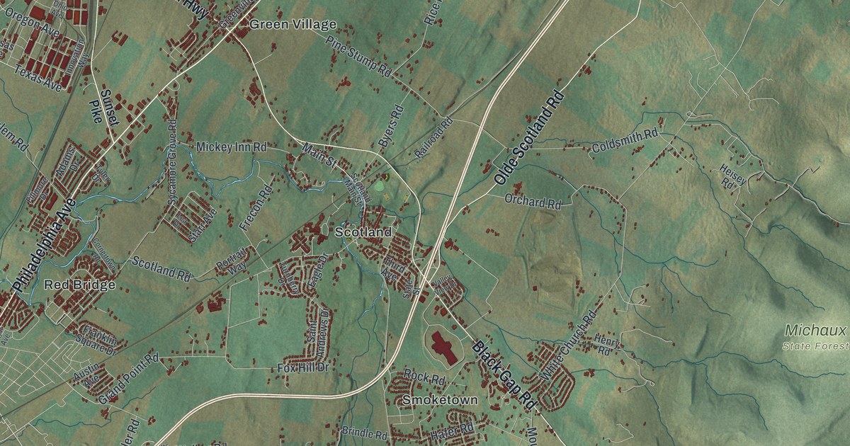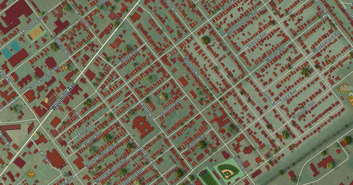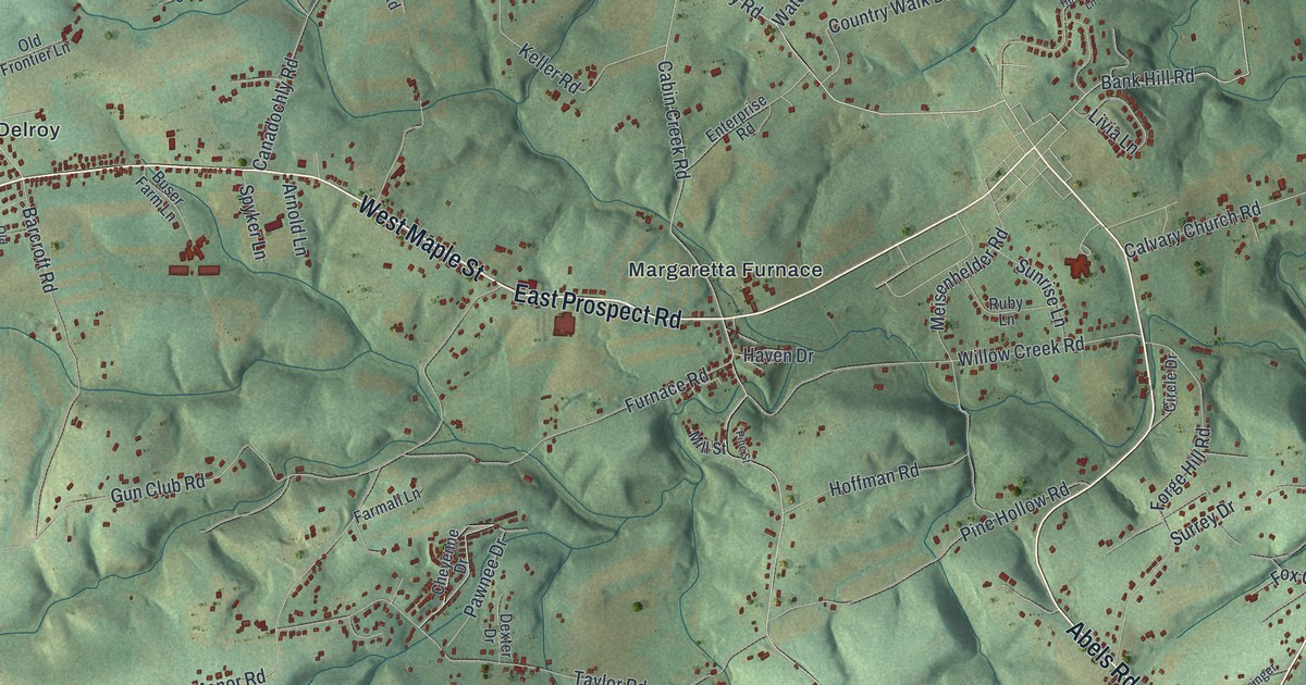
If you grew up in Lower Windsor Township, or you still have family out on Craley Road or Long Level Road, this map puts the whole township on one sheet. It's a modern aerial view of Lower Windsor Township in York County, Pennsylvania, made from modern data and given a vintage feel. Shaded hills fold down toward a wide blue river on the right side. Red shapes mark the buildings in Craley, Martinsville, Delroy and Bittersville, and Samuel Lewis State Park is printed near the top.
Margaretta Furnace, Craley Road and Long Level Road
Start at Margaretta Furnace, near the middle of the sheet. East Prospect Road and West Maple Street run across the map just below it, west to Delroy. Now take Prayer Mission Road south. It drops down to Martinsville and meets Craley Road. Follow Craley Road east to Craley, where it carries on as New Bridgeville Road. Go the other way and it heads southwest to Bittersville. From Martinsville, Snyder Corner Road runs south to Snyder Corner.
Back at Margaretta Furnace, Cabin Creek Road climbs north. Canadochly Road and Mount Pisgah Road wind through the hills up there, near Samuel Lewis State Park. Long Level Road follows the river down the right side, past Highpoint Recreation Area and Native Lands Park. Many roads are labeled, and each red shape is a building. Zoom in on the preview and look for yours.
Canadochly Road and the old Conojohela Valley
A history of York County printed in 1886 says a valley runs across the whole township, east to west. Early on it was called the Conojohela Valley. The book says nobody knew what the word meant. By 1886, people had worn it down to "Jockly," "Canojockly" and "Canodocholy." The writer asked for the old name to be brought back. Look near the top of the map and you'll find a close cousin of those spellings on Canadochly Road.
The same book puts the fort of Thomas Cresap at the foot of this valley, near where Cabin Branch Creek meets the Susquehanna. Cresap was a Marylander. A state historical marker says he settled on the lands of Conejohela in 1730 and held them for Lord Baltimore against the Penns. In 1736, in the Border War, he was burned out of his log house and taken to Philadelphia as a prisoner. He later moved to western Maryland and died about 1790. Two markers for him stand on Long Level Road, close to where Native Lands Park is printed by the river.
A map for anyone from Craley, Delroy or Bittersville
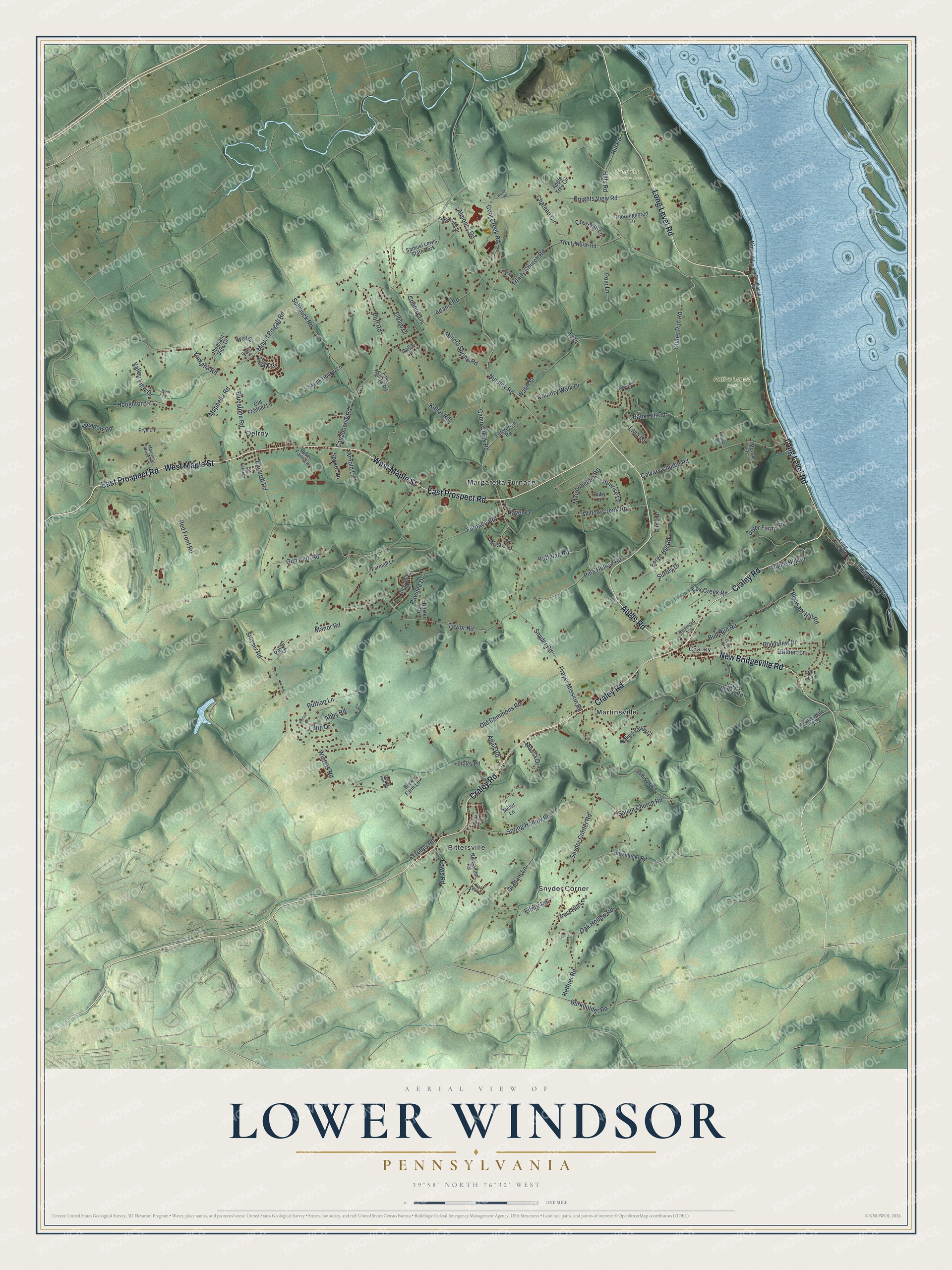
Created by KNOWOL in 2026, this map of Lower Windsor Township shows the hills in soft green shading from USGS elevation data, with buildings drawn in deep red and the river in pale blue along the right edge. The title panel reads "Aerial View of Lower Windsor, Pennsylvania," with 39°58' North, 76°32' West and a one-mile scale bar.
It suits a kitchen, a den or a farmhouse office. It's a good gift for someone who grew up near Craley or Martinsville, or for family who moved away from the valley. Open the preview, find Craley Road and follow it to the road you know. See sizes and frames for the Lower Windsor map.