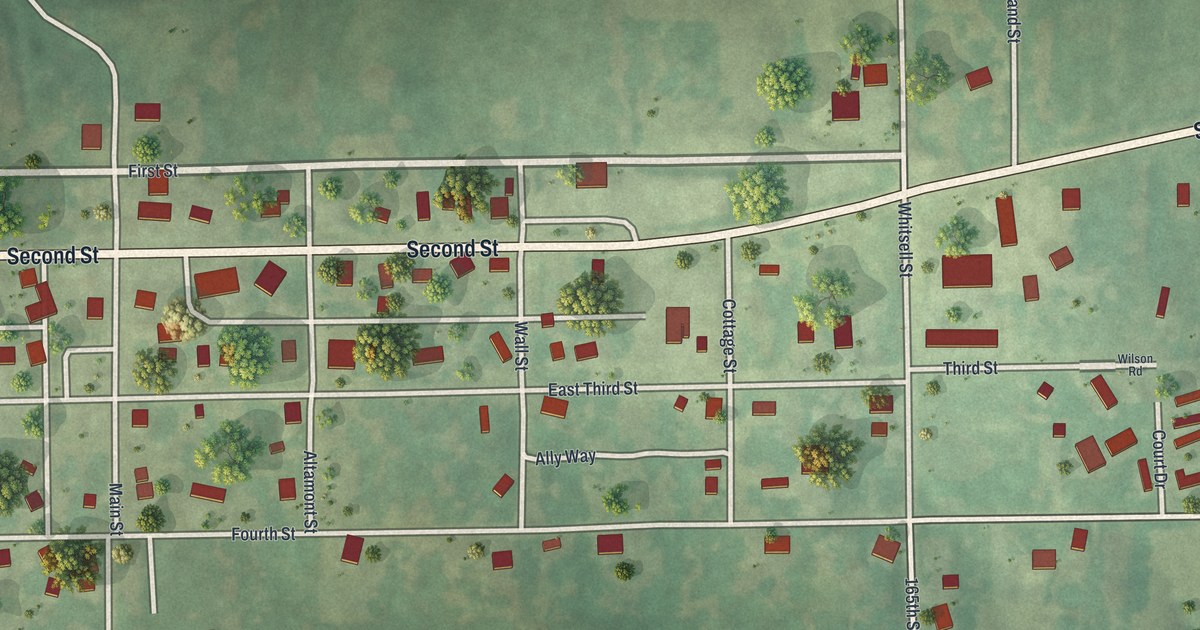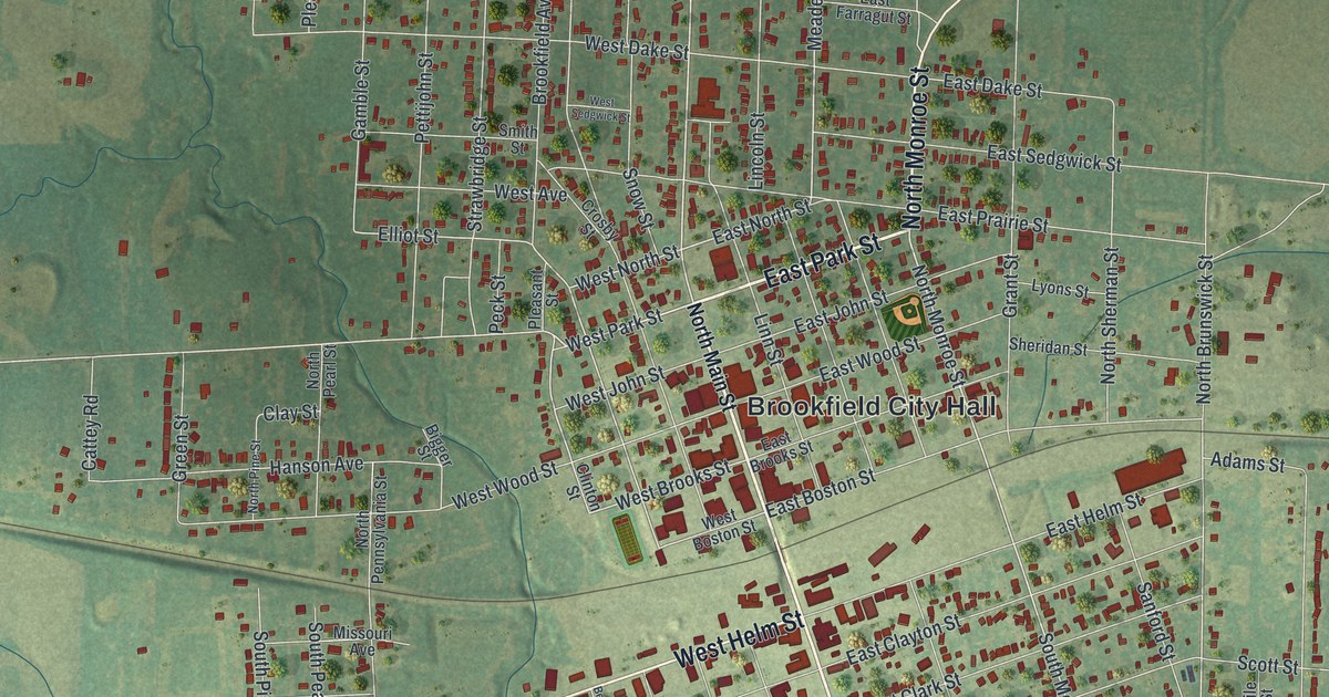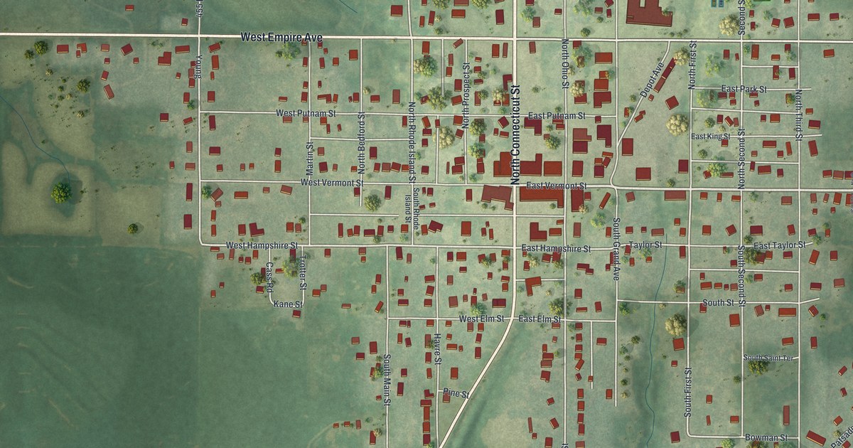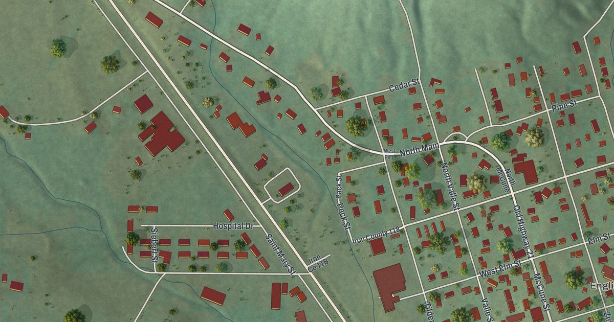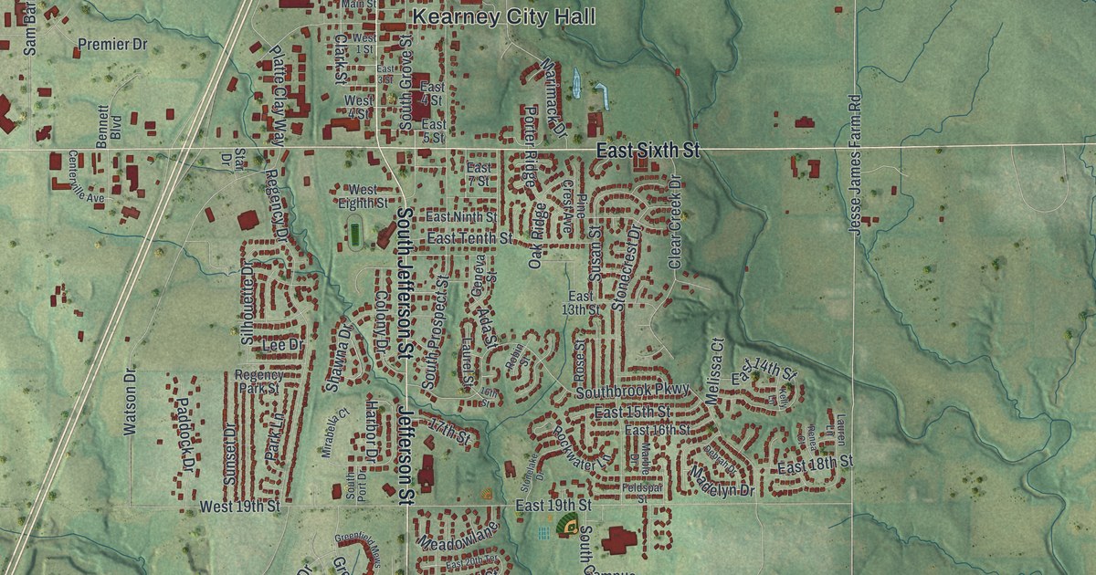
If you grew up in Kearney, or you still drive Jefferson Street past City Hall, this map gives you plenty to find. It's a modern aerial view of Kearney in Clay County, Missouri, drawn from modern data with a vintage feel. Nearly 5,500 buildings are marked in deep red on soft green hills. The town sits a little left of the middle, with Kearney City Hall near its center. Creek valleys branch out through the farm country on every side, and a blue river curls in at the bottom right corner.
Kearney City Hall, Jefferson Street and Jesse James Park
Start at Kearney City Hall, printed in the middle of town. Head north on North Jefferson Street. It leaves the grid and climbs toward Jesse James Park near the top of the sheet. North Park Road runs by the park, and Hall Road sits just to the east. Now go back to City Hall and follow Jefferson Street south. South Jefferson Street carries on past West 19th Street. At the south end of town, Meadowbrook Drive and Glenside Road curve through the houses.
For the country east of town, go back to City Hall and take East Sixth Street. It runs straight out into the hills. Jesse James Farm Road is printed just past the last houses. Farther east, Cordell Road and Scott Avenue cross the farms on the right side. Down in the bottom right corner, Davidson Road and Means Street sit near the river. West of town, West Sixth Avenue leads toward Cedarwood Parkway and Premier Drive. Nation Road runs down the left side. Many roads are labeled, and each red shape is a building, so zoom in on the preview and look for yours.
The James Brothers' House and Farm east of Kearney
The National Register of Historic Places lists two houses in the hills east of Kearney. The James Brothers' House and Farm was added in March 1972. Its listing places it about 2.25 miles east of Kearney. The Claybrook House, northeast of town, was added in December 1981. Both spots fall on this sheet. Look north of East Sixth Street, between the edge of town and Jesse James Farm Road. An 1885 county history gives a small look at the town's early trade. In the spring of 1884, a branch furniture store opened at Kearney. The book says it was "doing a good business."
For anyone who knows East Sixth Street and Jesse James Park
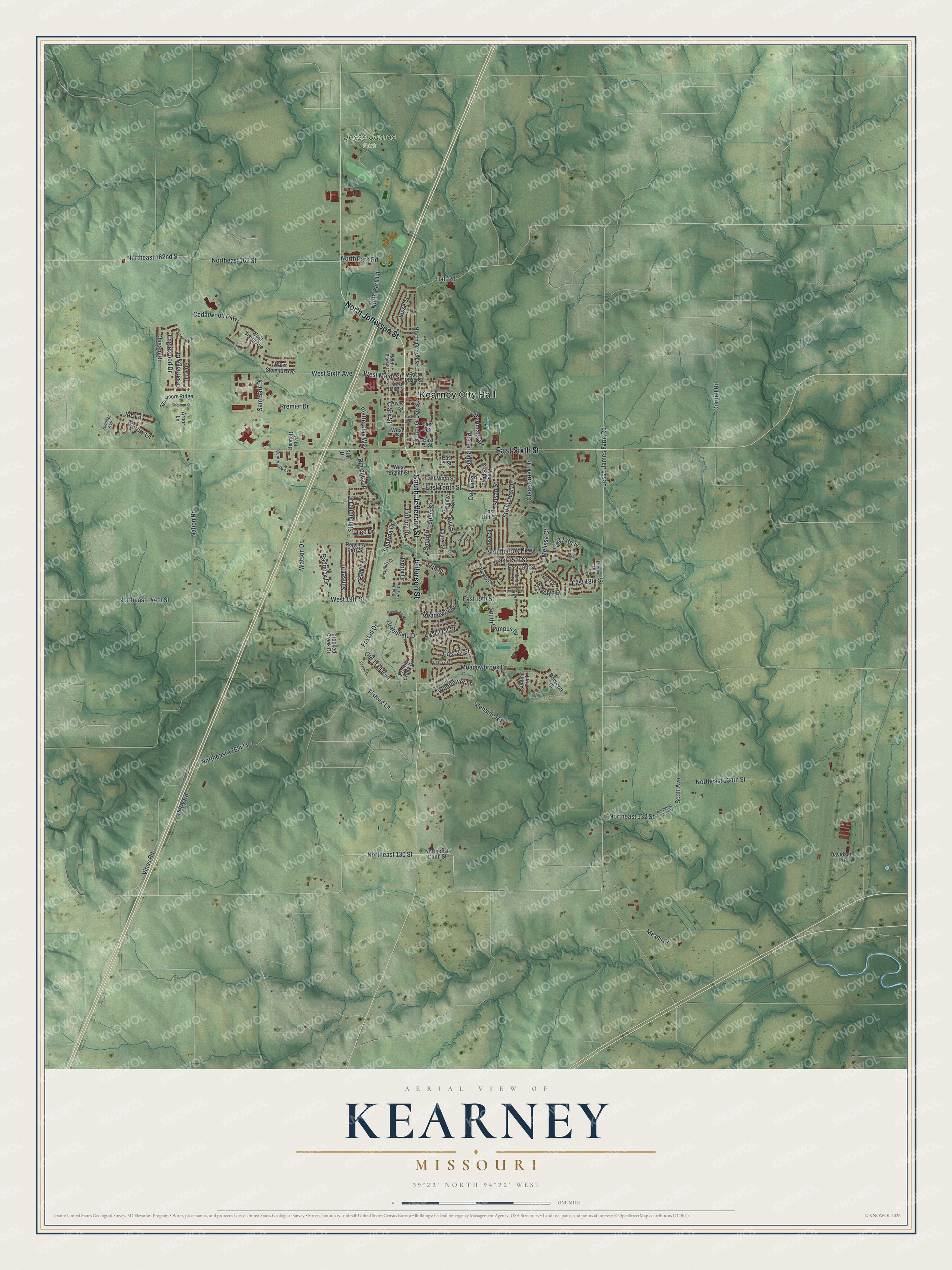
Created by KNOWOL in 2026, this map of Kearney shows the rolling Clay County hills in soft green shading built from USGS elevation data. Thin creek lines run down every valley around town. The title panel reads "Aerial View of Kearney, Missouri" with the coordinates 39°22' North, 94°22' West and a one-mile scale bar.
It suits a kitchen, a den or an office wall. It's a thoughtful gift for someone who grew up here and moved away, or who still knows the way up North Jefferson Street to Jesse James Park. Open the preview and follow Jefferson Street to a block you know. See sizes and frames for the Kearney map.