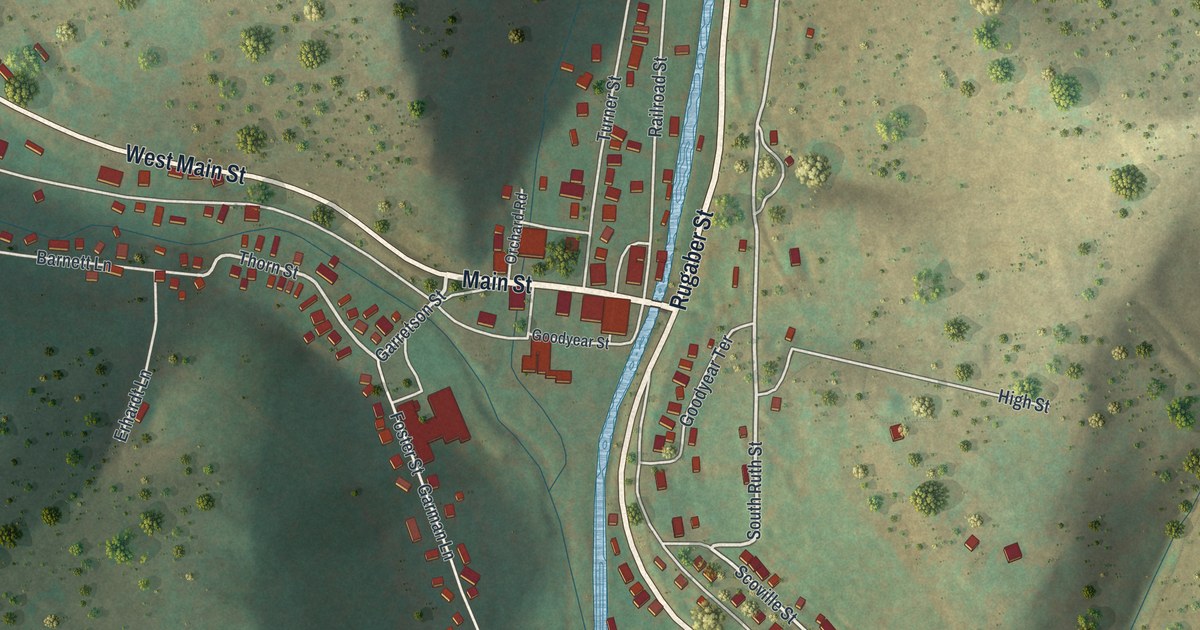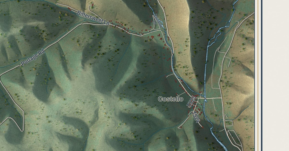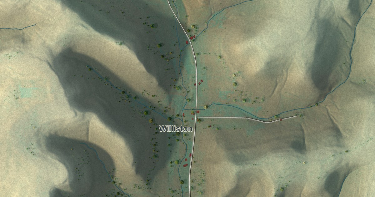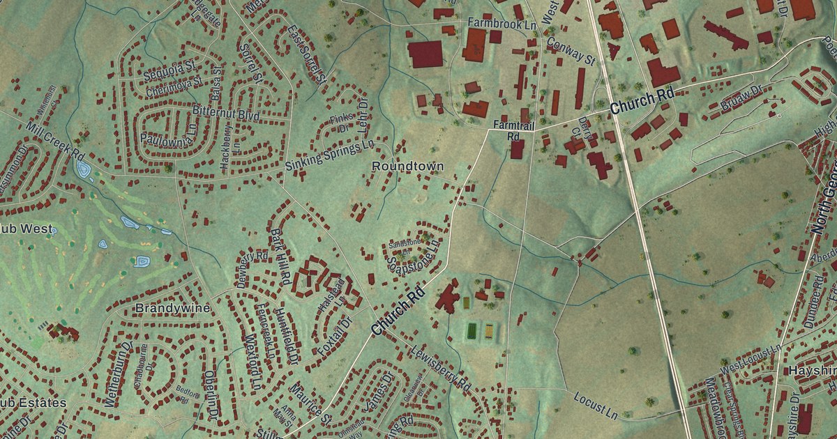
If you grew up in Emigsville, Roundtown or one of the neighborhoods off Church Road, this map has a lot for you to find. It's a modern aerial view of Manchester Township in York County, Pennsylvania, made from modern data and given a vintage look. Green hills are shaded across the sheet, and the buildings are drawn in deep red. A winding blue creek runs along the left side, and a wider one curves down the right. North George Street cuts through the east side, and neighborhoods fill in to the west.
Roundtown, Church Road and Emigsville
Start at Roundtown near the middle of the sheet. Near Roundtown, Church Road meets Lewisberry Road. Follow Church Road northeast past Farmtrail Road toward Emigsville beside North George Street. Look for Emig Road and Bruaw Drive around Emigsville. Then follow Church Road southwest toward Cousler Park and Foustown. Greenbriar Road runs east from near Foustown toward Greenbriar.
On the right side, Hayshire, Rishelieu and Woodland View sit between North George Street and the wide creek. Black Bridge Road runs south past them. Near the bottom, Loucks Road passes Fireside Terrace, and Prospect Hill Cemetery sits just below. Many roads are labeled, and each red shape is a building, so zoom in on the preview and look for yours.
How Roundtown and Emigsville got their names
Roundtown got its name from its shape. A History of York County printed in 1886 called it a hamlet of twenty or more houses on the York and Lewisberry road. The houses were built nearly in a circle, and that's where the name came from. A brick schoolhouse went up there in 1884. Frederick and Peter Kern were among the first to own the land.
The same book says Emigsville was named for John Emig. He ran a store there for many years and farmed too. The railroad was finished in 1850, and after that the village became a busy stop for the farms around it. Lime was burned from the limestone nearby. The 1886 county history counted 125 people in Emigsville and said E. K. Emig & Co. made farm tools. North of Church Road, a state marker at 3300 Board Road honors Bob Hoffman, founder of the York Barbell Club. It calls him the "Father of World Weightlifting."
For anyone from Emigsville to Foustown
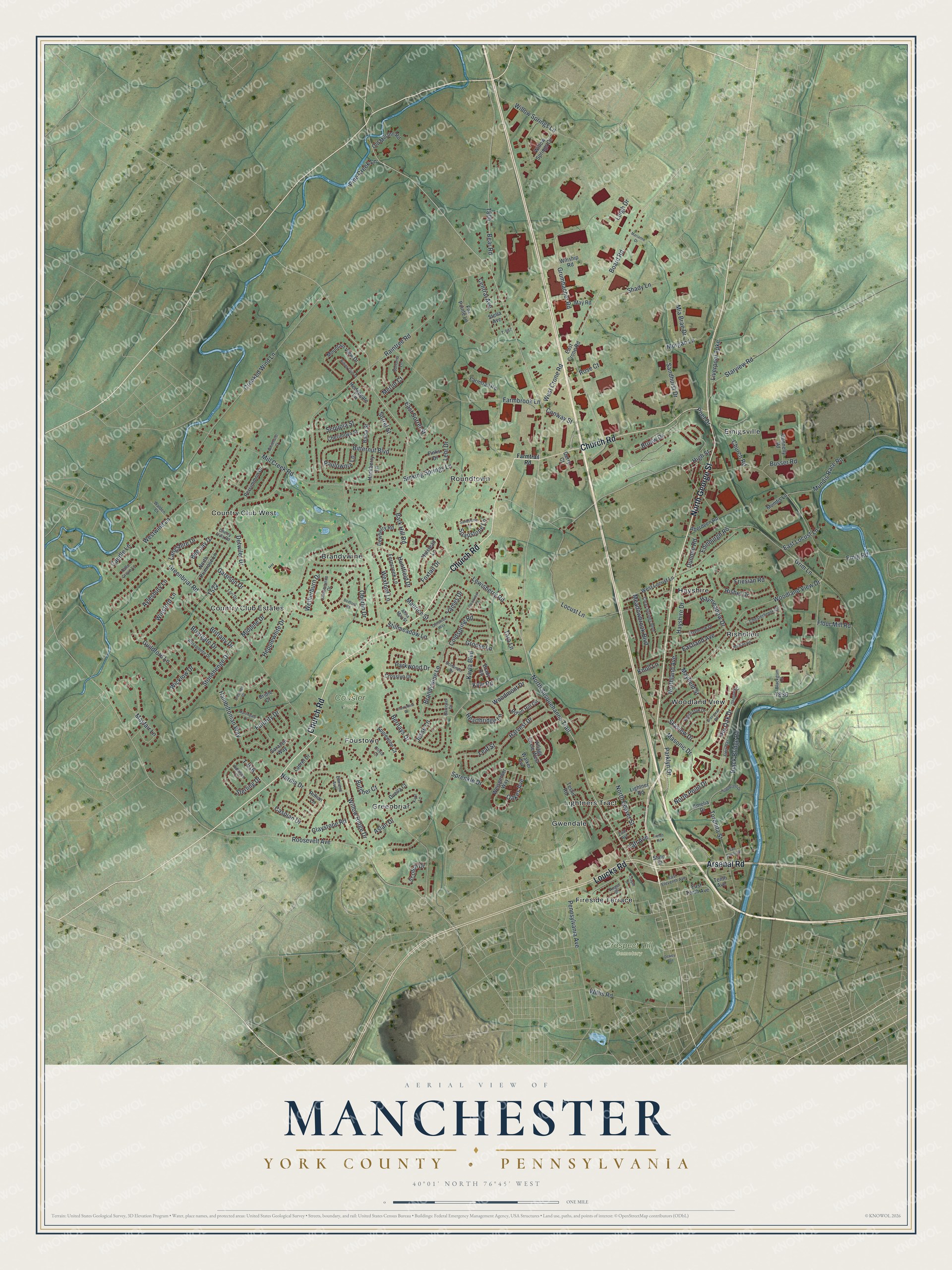
Created by KNOWOL in 2026 from USGS elevation data and Census Bureau road records, this map shows Manchester Township with shaded green hills, blue creeks and red buildings. The title panel reads "Aerial View of Manchester, York County, Pennsylvania," with the coordinates 40°01' North, 76°45' West and a one-mile scale bar.
It fits a kitchen, a den or a home office. It's a good gift for someone who grew up near Cousler Park, or for family who moved away from Emigsville. Open the preview, find Church Road and follow it to your street. See sizes and frames for the Manchester, York County map.