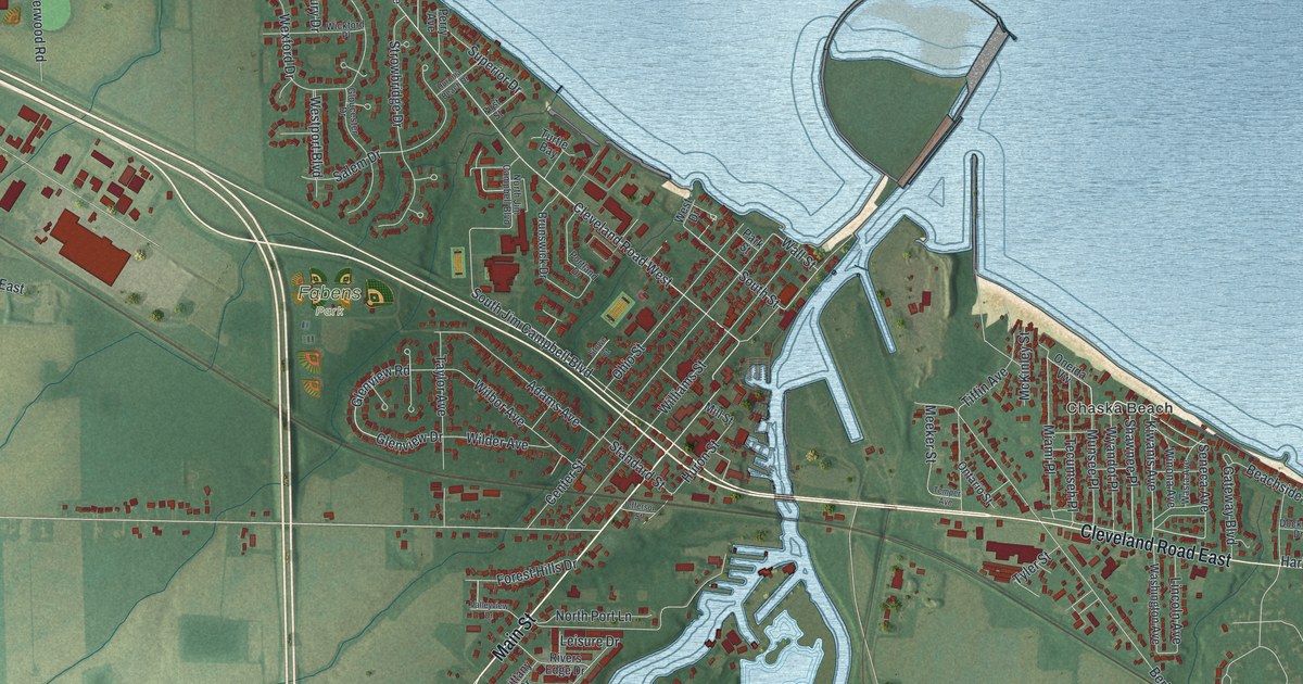
If you grew up in Huron, fished off the pier, or spent summers at a cottage near the lake, this map has plenty to find. It's a modern aerial view of Huron in Erie County, Ohio, made from modern data and given a vintage look. Wide blue water fills the top right of the sheet. A river winds up through the middle and out between two harbor walls. Red buildings line the shore from Rye Beach Road to Anderson, and boat channels branch off the river to the south.
Main Street, Cleveland Road East and Chaska Beach
Start near the mouth of the river, where Main Street meets Wall Street. Center Street and Williams Street run beside Main, and Wall Street meets Main, Center and Williams Streets. South Street and Standard Street are also named downtown. Ohio Street is close by. The Huron Playhouse has put on summer shows at the school there since 1949. Now follow Main Street south along the river's west side. It crosses Bogart Road and Forest Hills Drive. At the bottom of the sheet, follow Main Street to Mudbrook Road, then turn onto Riverside Drive. Marina Drive and Laguna Drive branch off Riverside Drive.
Back downtown, cross the river on Cleveland Road West. It becomes Cleveland Road East on the far side, with Chaska Beach between the road and the lake. Short streets there run north toward the lake: Shawnee Place, Wyandot Place, Seneca Avenue and Tecumseh Place. Farther east is Anderson, with Beachside Lane and Harborview Drive. Now go the other way. Fabens Park sits west of downtown, with Glenview Drive running past it. In the upper left, Grand Forest Beach and North Palm Beach line the shore along Maple Avenue and Wexford Drive. Many of the roads are labeled, and each red shape is a building, so zoom in on the preview and look for yours.
Where Huron built the Golden Age in 1886
Huron was building ships in the first decades of the 1800s. A state historical marker at 417 Main Street tells the story. The shipyards sat on the west bank of the Huron River, just north of the marker. There were more upstream at Fries Landing. The Great Western was built here in 1838. It was the first lake ship with cabins above the deck. In 1886, Huron built the Golden Age. At 286 feet, it was then the largest ship on the Great Lakes. Shipbuilding faded near the end of that century. Commercial fishing took its place for more than 50 years. The Huron, Kishman, Scott and Zimmerman fish companies all worked here. By 1950, polluted water in Lake Erie had ruined that trade. On the map, find Main Street beside the river's west bank, then look north to the harbor mouth. The shipyards stood along that west bank.
Built from USGS elevation and Census Bureau streets
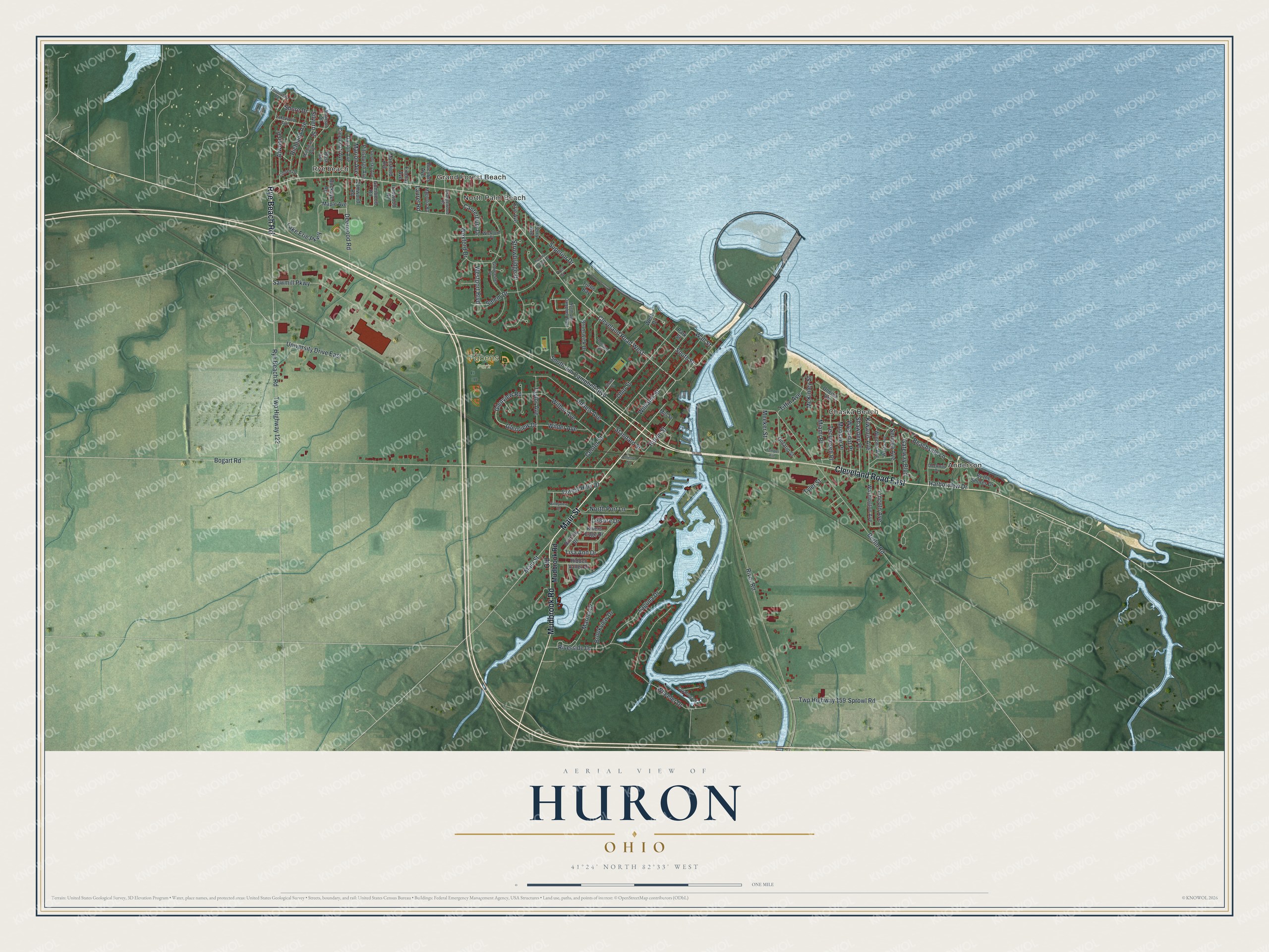
Created by KNOWOL in 2026, this Huron map shows the lake and river in soft blue over land shaded in green from USGS elevation data. The streets come from Census Bureau records, and more than 4,000 buildings are drawn in deep red. The title panel reads "Aerial View of Huron, Ohio" with 41°24' North 82°33' West and a one-mile scale bar.
It suits a den, a kitchen or a lake house wall. It's a good gift for someone who saw a summer show at the Huron Playhouse, or for anyone who grew up in Huron and moved away. Open the preview, find Main Street by the river, then look north to the harbor and find a street you know. See sizes and frames for the Huron map.