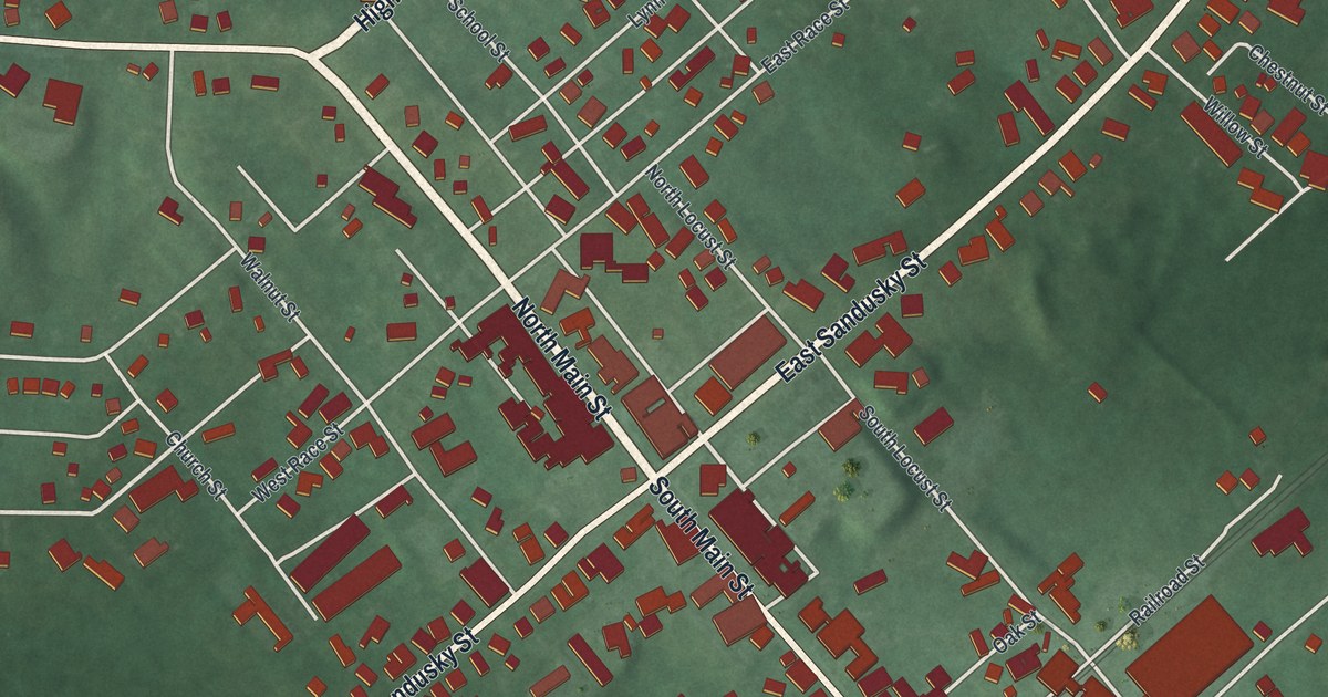
If you grew up in Mechanicsburg, went to school here, or still have family near Main Street, this map gives you a lot to find. It's a modern aerial view of Mechanicsburg in Champaign County, Ohio, made from modern data and given a vintage feel. The village sits near the middle of the sheet. Across the map, 782 buildings appear in deep red. Main Street and Sandusky Street cross near the center. Soft green farm country fills every edge. Ball diamonds, a running track and a small blue pond sit near the top.
Main Street, Sandusky Street and Goshen Township Memorial Park
Start in the middle of town, where North Main Street, South Main Street, East Sandusky Street and West Sandusky Street all meet. East Sandusky Street runs up to the right. West Sandusky Street runs down to the left. Now follow North Main Street up and to the left. Where it meets West Main Street, High Street branches off to the northeast. Take West Main Street west instead. West of the center, Park Avenue runs north to south. It meets Spring Street and Prospect Street, and both streets meet Western Avenue.
Back on West Main Street, Mechanicsburg Bellefontaine Road heads north toward the top left. It passes Goshen Township Memorial Park, where ball diamonds are drawn in pale orange. Now go back to the center and follow South Main Street down to the right. Railroad Street and Darby Avenue sit just east of it near the lower right. Many roads are named, and each red shape is a building, so zoom in on the preview and look for yours.
Addison White and the crossing of Main and Sandusky
In August 1856, a man named Addison White came to Mechanicsburg. He had escaped from slavery in the South. Here he met Udney Hyde, an abolitionist, and stayed at Hyde's farm. Under the Fugitive Slave Law, federal marshals could take White back. They could also arrest anyone who helped him. In April 1857, White's owner, Daniel White, came to town with marshals. They tried to take Addison and arrest Hyde. Hyde's daughter ran into town for help. Neighbors came back with pitchforks and shovels. The marshals feared for their lives and left. Later they came back to arrest the men who had protected White. The case made national news.
An Ohio historical marker tells the story. It stands at 2 South Main Street, on the East Sandusky Street side of the bank. On the map, that's the crossing right in the middle of town, where this tour began. A short walk up East Sandusky Street, a second marker says a local Methodist congregation built its first church there in 1820. Townspeople also used it as the village school. In 1894, a Black congregation, Second Baptist, bought the church that stood there. Find East Sandusky Street on the preview and follow it one block up from Main.
For anyone who grew up near Goshen Township Memorial Park
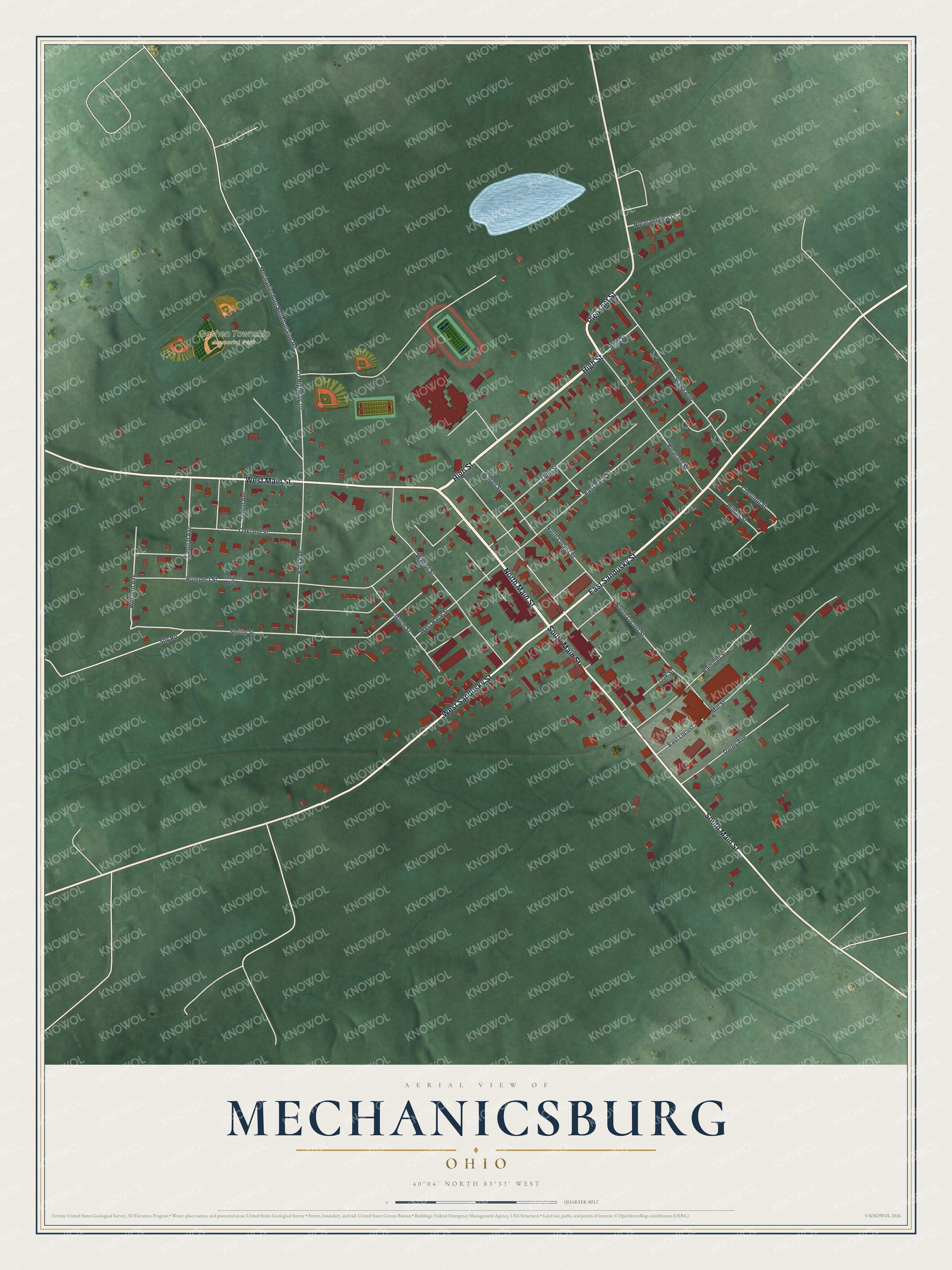
Created by KNOWOL in 2026, this map of Mechanicsburg shows named roads and 782 buildings. The village shows in deep red over soft green fields, and gentle shading marks the rise and fall of the ground. The title panel reads "Aerial View of Mechanicsburg, Ohio" with the coordinates 40°04' North, 83°33' West and a quarter-mile scale bar.
It suits a kitchen, a den or a hallway. It's a good gift for someone who knows the ball fields at Goshen Township Memorial Park or who moved away from Mechanicsburg. Open the watermarked preview and find the corner you know. See sizes and frames for the Mechanicsburg map.