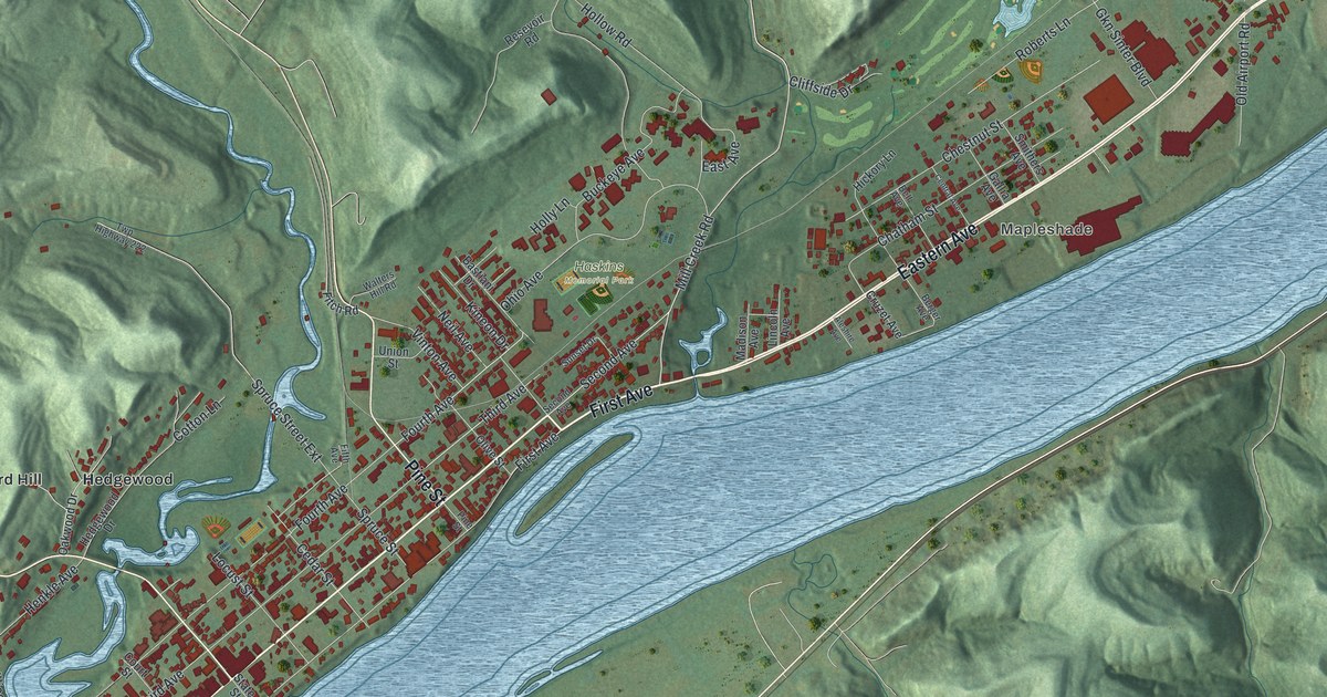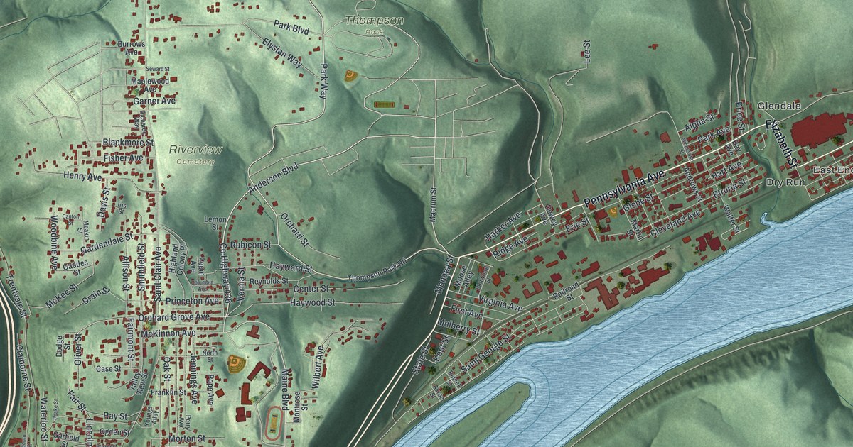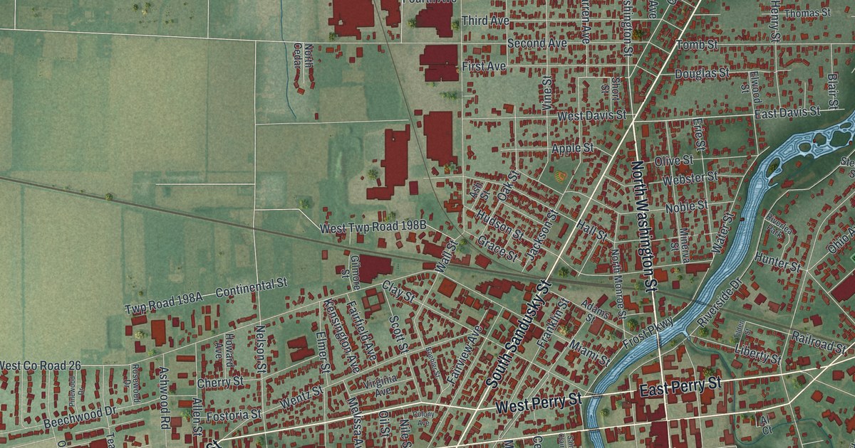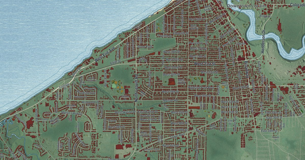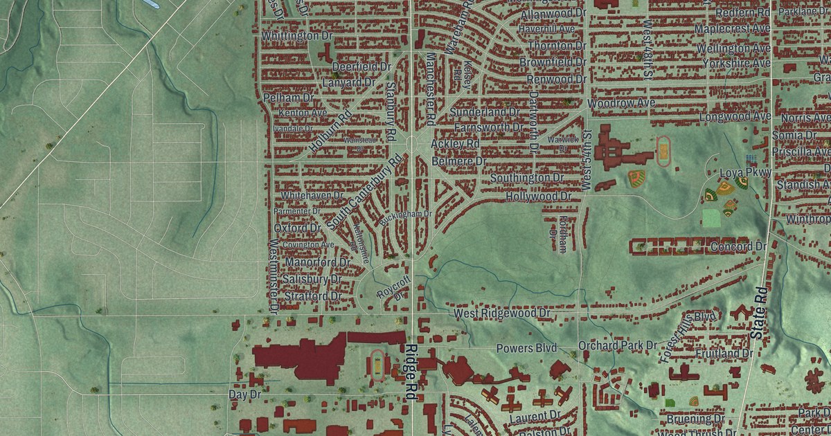
If you grew up in Parma, or still have family on one of its side streets, this map gives you plenty to find. It's a modern aerial view of Parma in Cuyahoga County, Ohio, built from modern data and given a vintage feel. Thousands of buildings are drawn in deep red, packed along close rows of streets. On the print, Brookpark Road is near the top and West Sprague Road is near the bottom. Green valleys with thin blue creeks wind between the neighborhoods.
From Pearl and Ridge Roads down to Pleasant Valley
Start near the top center, where Pearl Road crosses Ridge Road just below Brookpark Road. Pearl Road runs off to the southwest toward Stumph Road. Now follow Ridge Road south. You'll cross Snow Road first, then Theota Avenue, which heads east to State Road. Keep going past West Ridgewood Drive to Day Drive. A row of big red buildings sits just west of Ridge Road there.
Farther south, West Pleasant Valley Road runs across the lower part of the sheet. State Road runs from the top right toward the bottom center. Broadview Road stays on the right, near the Pleasant Valley label at the bottom right. On the left, York Road runs south past Pleasant Lake Boulevard and Vienna Drive. West Sprague Road runs near the bottom edge. Many roads are named, and each red shape is a building, so zoom in on the preview and look for yours.
How the Fay family's log cabin became Parma
One Ohio historical marker traces Parma's early settlement to the Fay family. After the War of 1812, Benajah and Ruth Wilcox Fay left Lewis County, New York, with their ten children. Like many people, they came to Ohio for cheap, good farmland. They were the first settlers of a place called Greenbriar. It was named Parma on March 7, 1826. The Fays cleared their land, including the ground that later became Theota Avenue. Then they built a log cabin. It sat on the wagon trail between Cleveland and Columbus. The cabin grew into the Benajah Fay Inn, Parma's first business. An Ohio historical marker at the southeast corner of Pearl and Ridge Roads calls that spot the place where the city of Parma was born.
The Stearns Homestead on Ridge Road
Farther down Ridge Road, another marker stands in front of the Stearns Homestead. Lyman Stearns built the farmhouse around 1855, and the barn is even older. The marker says this 48-acre farm is what's left of a way of life that lasted in Parma Township into the 1900s. After World War II, new homes covered almost all of this area by the 1950s. Look at the close red rows on both sides of Ridge Road to see how full it got.
For anyone who grew up between Brookpark Road and Pleasant Valley
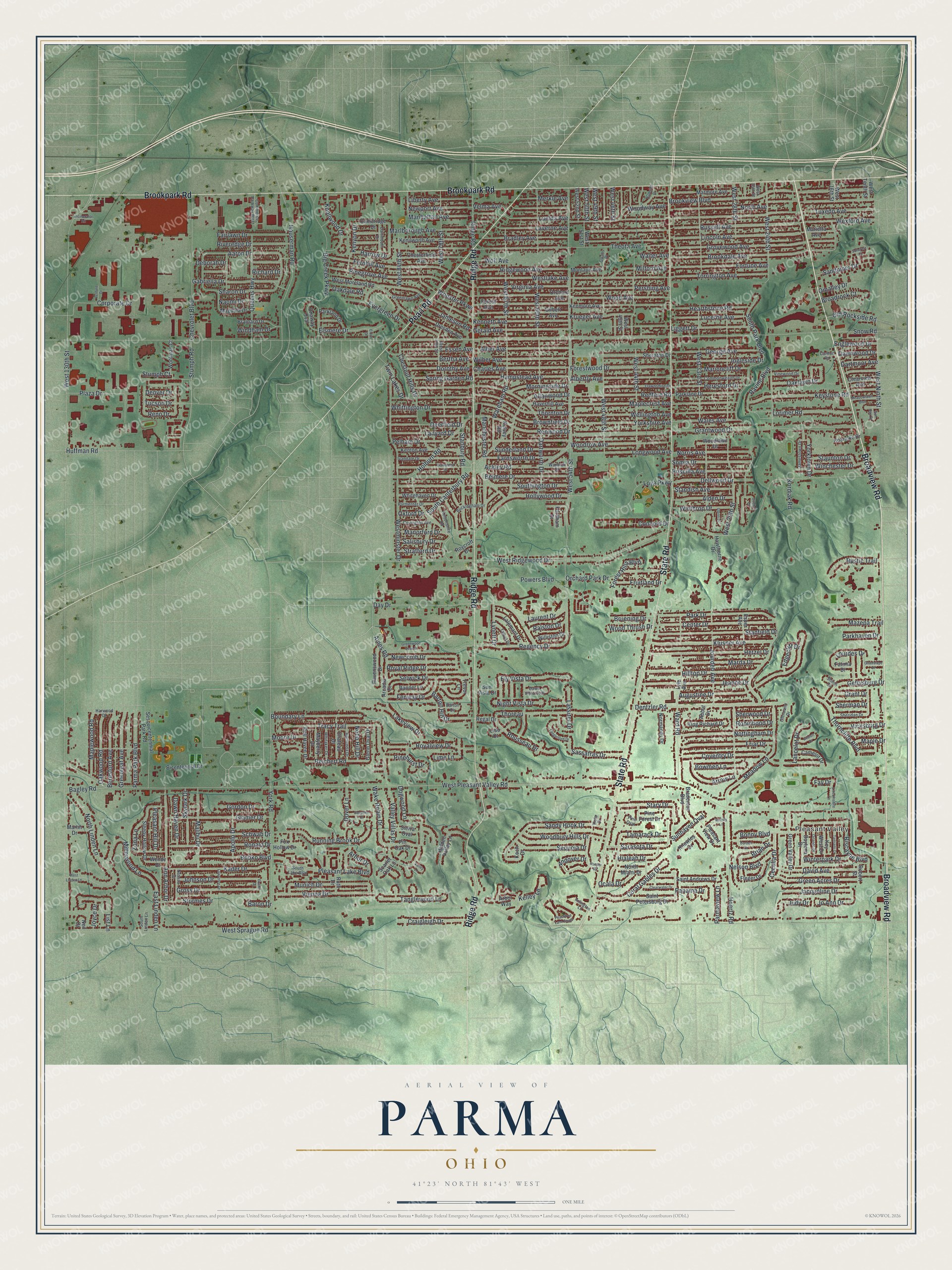
Created by KNOWOL in 2026, this Parma map shows the city's buildings in deep red over soft green hills and creek valleys. The shaded ground comes from USGS elevation data. The title panel reads "Aerial View of Parma, Ohio" with the coordinates 41°23' North, 81°43' West and a one-mile scale bar.
It suits a living room, a kitchen or a home office. It's a thoughtful gift for someone who grew up near Ridge Road and the Stearns Homestead, or who moved away and still has family in Parma. Open the preview, zoom in and find the street you know. See sizes and frames for the Parma map.