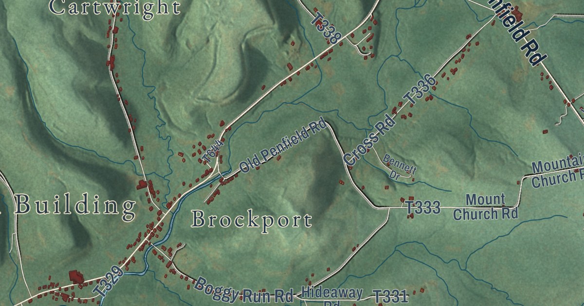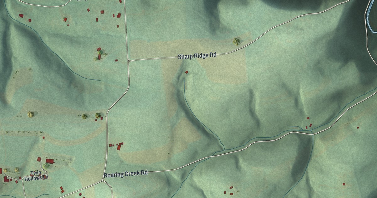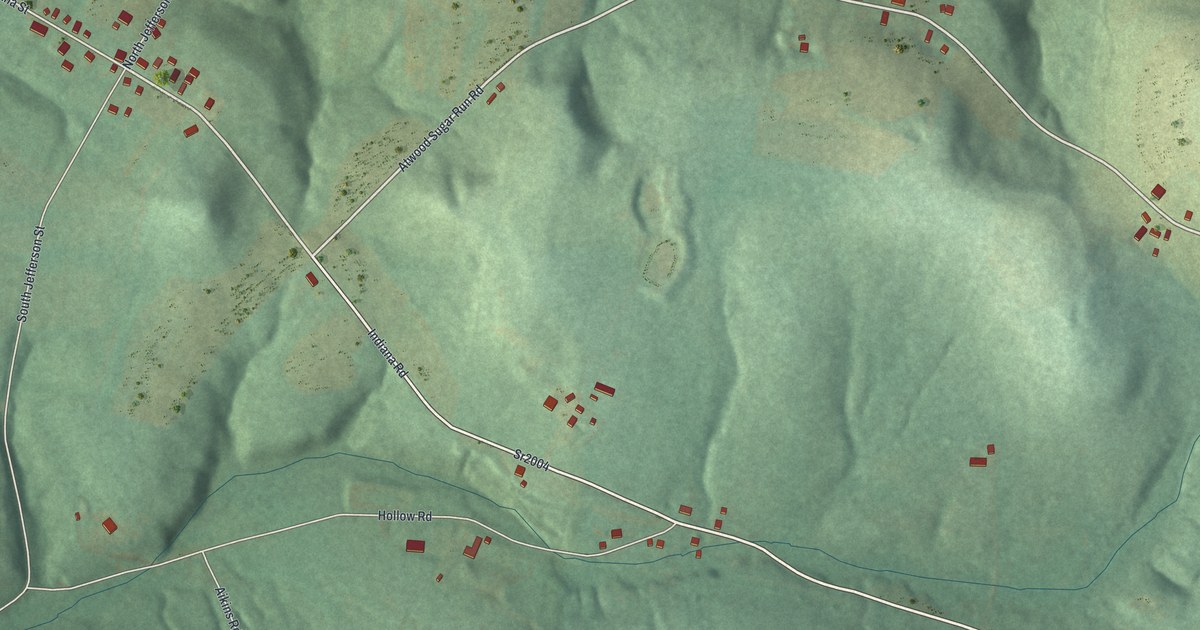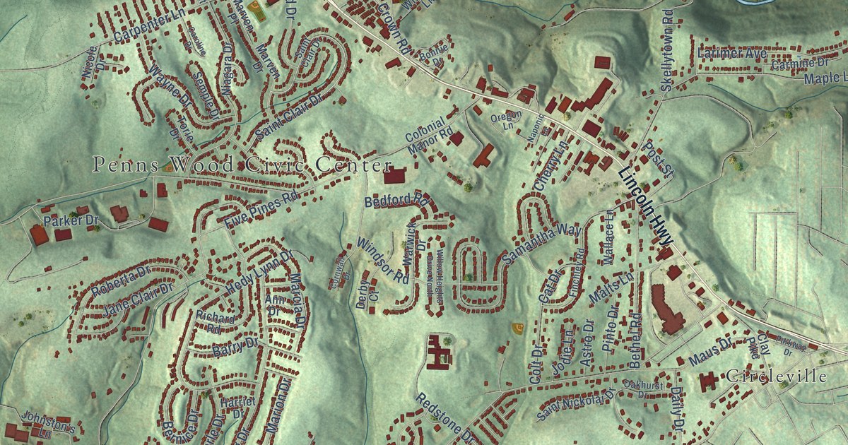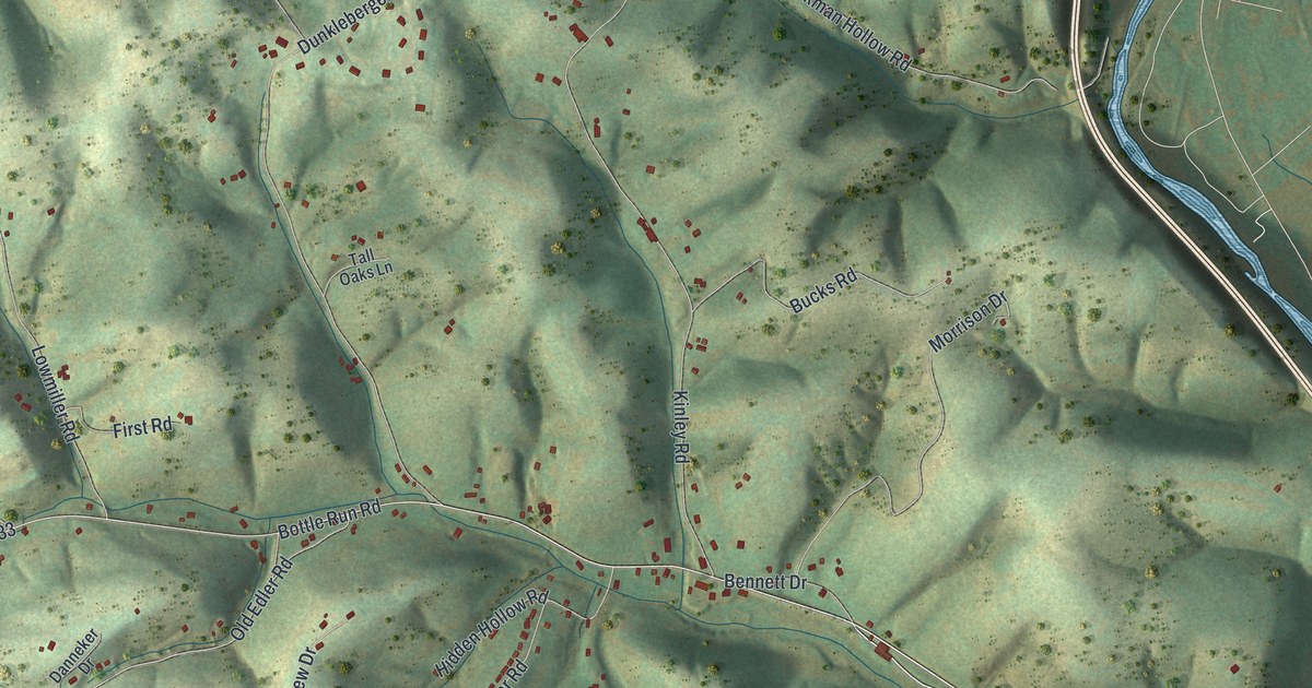
This beautifully detailed map of Old Lycoming, Pennsylvania was created in 2026 using aerial imagery combined with modern topographical, census, street and landmark data. It’s a one-of-a-kind view of Old Lycoming that combines accurate data with a vintage aesthetic. The map shows every building in its true location, many of the roads carry their names, and the shaded topographic relief shows the shape of the land.
Explore an aerial view of Old Lycoming, Pennsylvania
On the map you’ll find Garden View, West Hills Estates, Woodland Park, Fairlawn, and Grimesville, along with Bottle Run Road, County Highway 33, Mill Lane, County Highway 34, Sweeley Avenue, Lycoming Creek Road, Green Avenue, and more. If you look closely you can even find your house accurately drawn in its correct location. Zoom in on the preview to look for yours.
Take a closer look at the Old Lycoming map
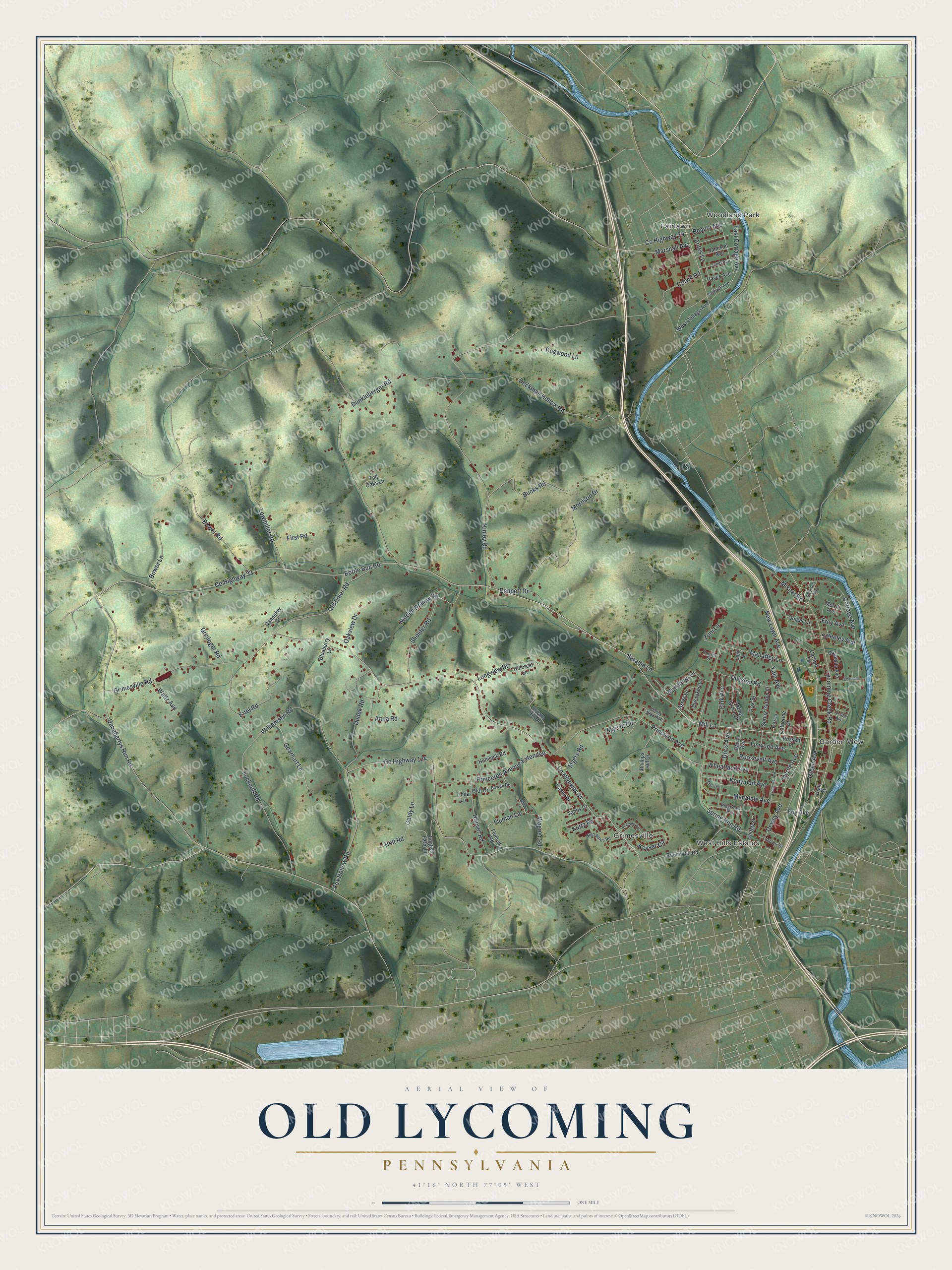
Street and place names on the Old Lycoming, Pennsylvania map
These names are printed on the map of Old Lycoming, Pennsylvania.
Places: Garden View, West Hills Estates, Woodland Park, Fairlawn and Grimesville.
Streets and roads: Bottle Run Road, County Highway 33, Mill Lane, County Highway 34, Sweeley Avenue, Lycoming Creek Road, Green Avenue, Old Edler Road, Bower Road, Spring Run Road, Cottage Avenue, Beauty Avenue.
More street names, A to Z
Anna Road, Antes Lane, Aztec Lane, Bennett Drive, Blueberry Lane, Bowen Drive, Bower Lane, Bucks Road, Caldwell Avenue, Carlton Terrace, Carmella Avenue, Casey Drive, Catherine Drive, Chatham Lane, Cherokee Lane, Colvin Road, County Highway 29, County Highway 124, Danneker Drive, Daughertys Run Road, David Avenue, Deckman Hollow Road, Dewey Avenue, Division Road, Dogwood Lane, Doris Avenue, Dream Hill Drive, Dudek Road, Dunkleberger Road, East Cottage Avenue, English Farm Lane, Ertel Road, Fink Avenue, First Road, Fluman Lane, Fluman Road, Fox Hollow Road, Fox Street, Foy Avenue, Frederick Avenue, Frey Avenue, Fritz Lane, Gearhart Lane, Goldy Lane, Grimesville Road, Grininger Road, Hayes Avenue, Hemlock Road, Hidden Hollow Road, High Pines Road, High Street, Hillcrest Lane, Holt Road, Hoover Road, Hoover Street, Jamison Avenue, Janet Avenue, Kenwood Avenue, Keyser Circle, Kinley Road, Kurtz Road, Lacomic Street, Linda Lane, Linwood Avenue, Lockcuff Road, Lois Lane, Longview Drive, Lowmiller Road, Mahaffey Lane, Marshall Avenue, Marvin Circle, Marydale Avenue, Merrill Avenue, Middle Road, Misner Road, Morrison Drive, Myers Road, Myrtle Avenue, New Lawn Avenue, Oakview Drive, Oldt Drive, Phillips Hill Drive, Princeton Avenue, Princeton Avenue Extended, Quigel Lane, Ridgedale Avenue, Ridge Street, Roosevelt Avenue, Roseville Road, Round Hill Road, Russett Place, Ruthies Lane, Sarama Lane, Sholder Avenue, Sholder Road, Spring Garden Street, Spring Grove Drive, Tabbs Drive, Tall Oaks Lane, Valley View Avenue, Vesta Avenue, Wagner Road, Waltz Avenue, West Cottage Avenue, Wheatland Avenue, Williamson Road, Woodbryn Drive, Yale Avenue, Zuni Lane.
See the Old Lycoming, Pennsylvania map on a wall
The Old Lycoming map as an 18 x 24 inch print in a black frame.

This beautifully detailed map of Old Lycoming makes an attractive addition to your office, library, or den, and it can even be used to teach children the geography and history of the area. It also makes a great gift for anyone with Old Lycoming roots. When you’re done exploring, click here to get your copy of the Old Lycoming map.