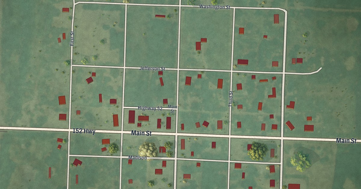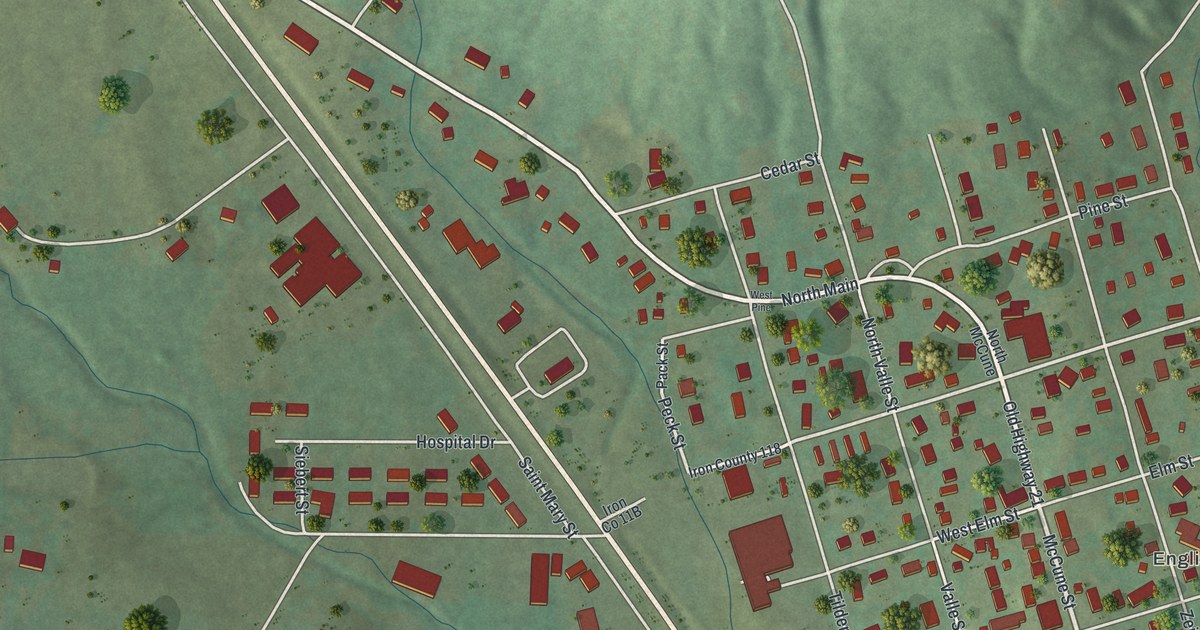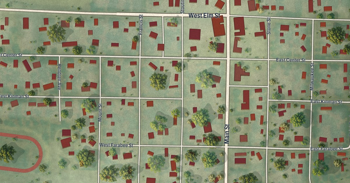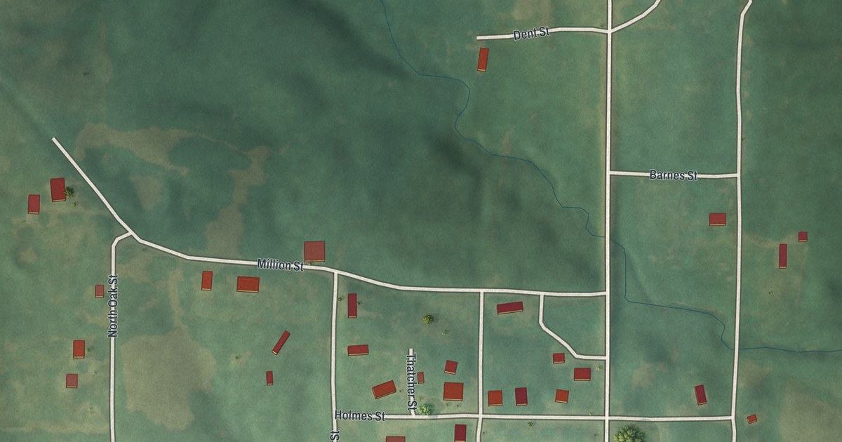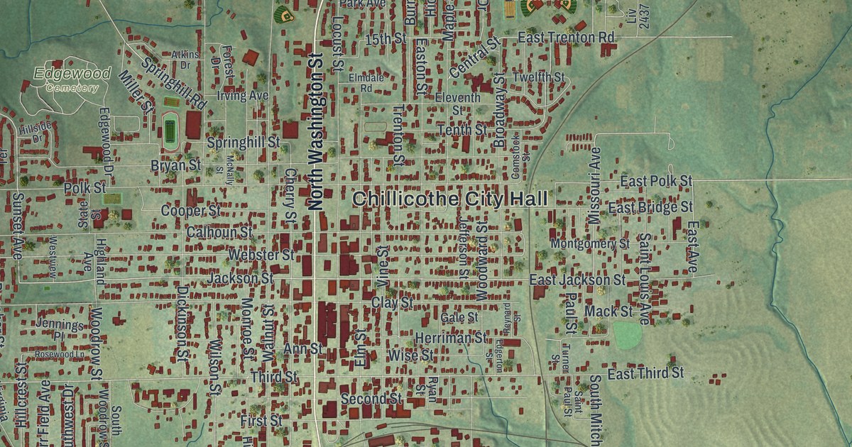
If you grew up in Chillicothe, went to school here or still have family in town, this map has your streets on it. It's a modern aerial view of Chillicothe in Livingston County, Missouri, made from modern data and finished with a vintage feel. More than 4,000 buildings are drawn in deep red. They pack in tight around North and South Washington Streets, then thin out into soft green hills and farm fields. Highway 36 crosses the lower part of the sheet, and a wide blue river curls through the bottom left corner.
Chillicothe City Hall, Washington Street and Simpson Park
On this map you'll find Chillicothe City Hall, North Washington Street, South Washington Street, Simpson Park, Edgewood Cemetery, Daryl Danner Memorial Park, Jackson Street, Calhoun Street, Clay Street, Webster Street, Elm Street, Locust Street, Walnut Street, Highway 36, Highway 65, and more. Each red shape is a building, so zoom in on the preview and look for yours.
Chillicothe's 1837 courthouse and Grace Episcopal Church
An 1886 county history says the first court-house of Livingston County was begun in October 1837. It was built in Chillicothe, by order of the county court. The same book lists the first stores in the county. Jesse Nave opened one at Navestown, also called Spring Hill, in 1837. The next year, Stone & Wilson opened a store in Chillicothe. Look at the tight red blocks around City Hall and Washington Street. That's downtown Chillicothe today.
The National Register lists Grace Episcopal Church and Building at 421 Elm Street in Chillicothe. Its listing dates to September 1980. Find Elm Street near the middle of the map, then zoom in on the buildings along it.
For someone who knows Washington Street and Simpson Park
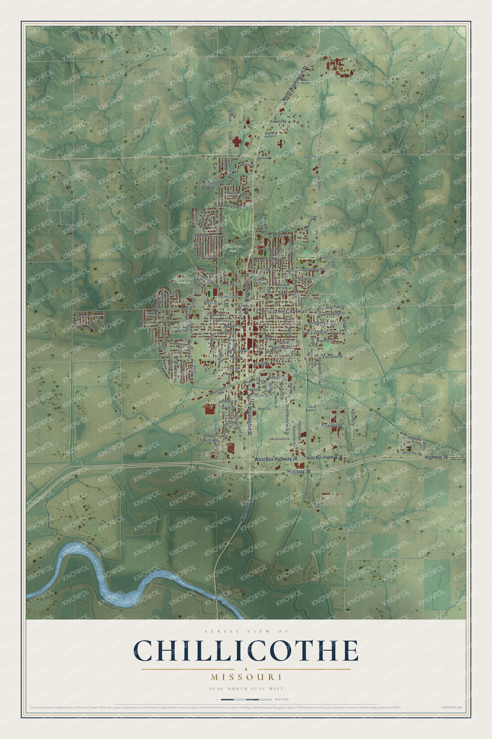
Created by KNOWOL in 2026, this Chillicothe map sets deep red buildings on soft green hills. The shaded hills come from USGS elevation data. The title panel reads "Aerial View of Chillicothe, Missouri," with the coordinates 39°48' North, 93°33' West and a half-mile scale bar.
It suits an office, a den or a family room. It's a thoughtful gift for someone who grew up near Simpson Park, moved away from Livingston County, or still has family on Washington Street. Open the preview, zoom in and find the streets you know. See sizes and frames for the Chillicothe map.