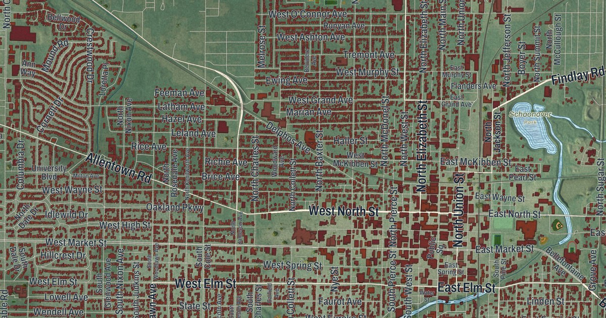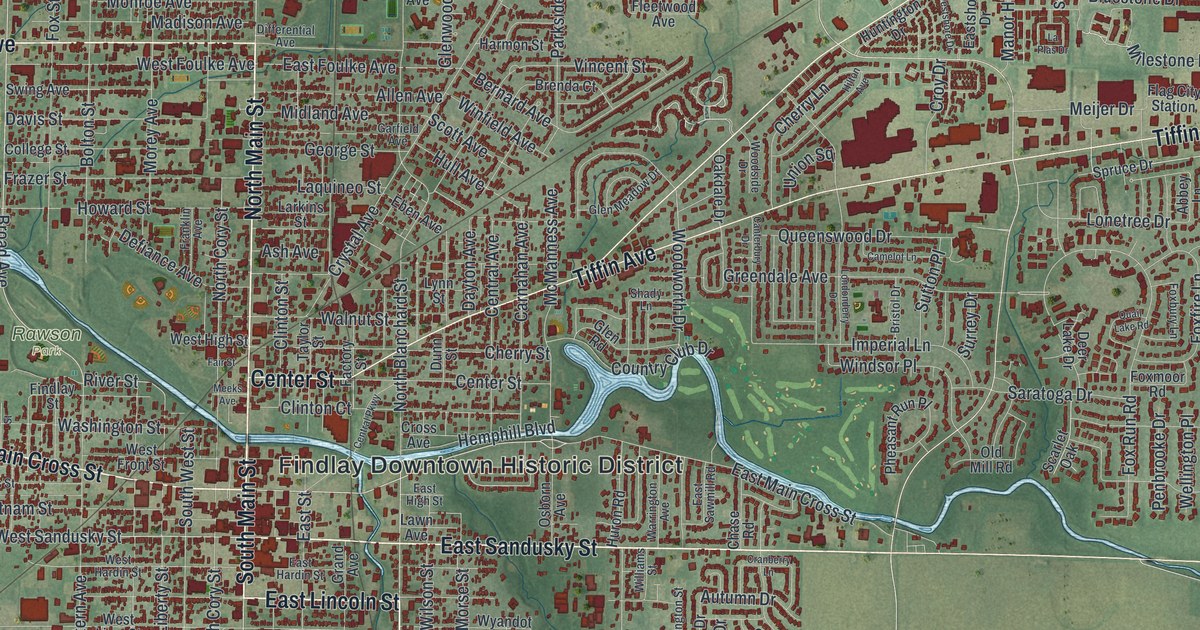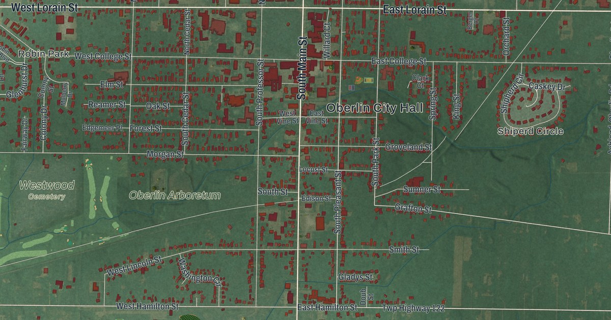
If you grew up in Waterville or have family here, there's plenty to find on this print. This modern aerial view gives Waterville in Lucas County, Ohio a vintage feel using modern data. Red buildings line the streets, with green fields beyond the neighborhoods. A wide blue river curves around town, splitting around long islands.
Farnsworth Road and Waterville's first 50 lots
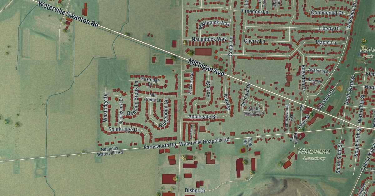
On this map you'll find Farnsworth Road, Anthony Wayne Trail, Michigan Avenue, North River Road, South River Road, Mechanic Street, Canal Road, Pray Boulevard, Baer Park, Waterworks Park, Wakeman Cemetery, and more. Each red shape is a building, so zoom in on the preview and look for yours.
Waterville began with river power and a small set of lots. According to John Pray's historical marker, he built a gristmill in 1821. It was the first on the lower Maumee. A dam stretched across the river to Granger Island to supply the power. In 1831, Pray laid out Waterville's first 50 lots.
Pray also built the Columbian House in 1828 and expanded it in 1837. The stagecoach inn took in travelers from Detroit and Cincinnati. He ran the village post office from the same building. His marker stands at North Fourth Street and Farnsworth Road, both named on this map. Look for those street names among the close rows of red buildings.
Keep Waterville and Farnsworth Road close
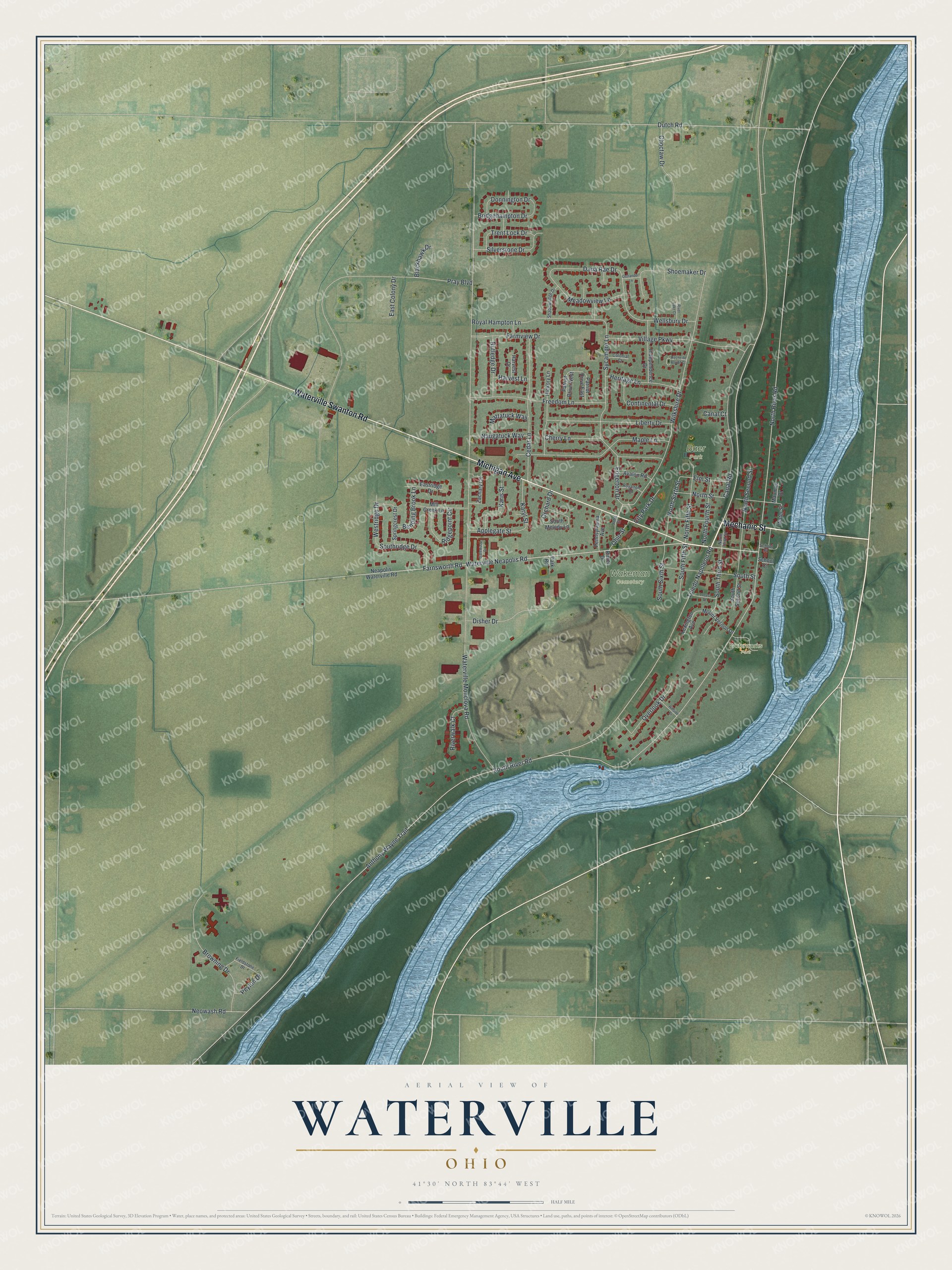
Created by KNOWOL in 2026, the print pairs soft green land with blue water and deep red buildings. A cream border surrounds the view. The title panel reads "Aerial View of Waterville, Ohio" with the coordinates 41°30' North, 83°44' West.
Hang it in an office, den or entryway where you can stop and find a familiar street. It's a gift for someone who grew up near Farnsworth Road and moved away. Open the preview and zoom in to find the places you'd like to keep close. See sizes and frames for the Waterville map.