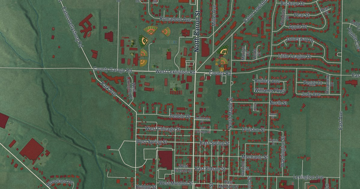
If you grew up in Eaton or have family here, take a look for a familiar block. This modern aerial view of Eaton in Preble County, Ohio pairs modern data with a vintage feel. Red buildings fill the town's street grid, with green land stretching beyond it. Fort Saint Clair Park and the Preble County Fairgrounds are named on the print.
Main Street, Somers Street and Eaton's beginnings
You'll find East Main Street, West Main Street, North Barron Street, South Barron Street, East Somers Street, East Decatur Street, East Israel Street, Camden Road, Fort Saint Clair Park, Mound Hill Cemetery, Preble County Fairgrounds, and more. Each red shape is a building, so zoom in on the preview and look for yours.
Eaton's name and several street names share a story. According to the William Bruce historical marker, Bruce founded and laid out Eaton in 1806. He bought nearly two thousand acres for the town. A Revolutionary War veteran, he named Eaton for General William Eaton. The general had served in the Tripolitan War. Somers, Decatur and Israel also took their names from veterans of that war. You can find those names on East Somers Street, East Decatur Street and East Israel Street in this map.
Bruce also started Eaton's first sawmill and gristmill. He often gave corn meal to people in need. To help the town grow, he donated land and sold lots cheaply or on partial payment. He died in 1830 and was buried in Mound Hill Cemetery, another name you'll find on the print.
Keep Eaton's Main Street close
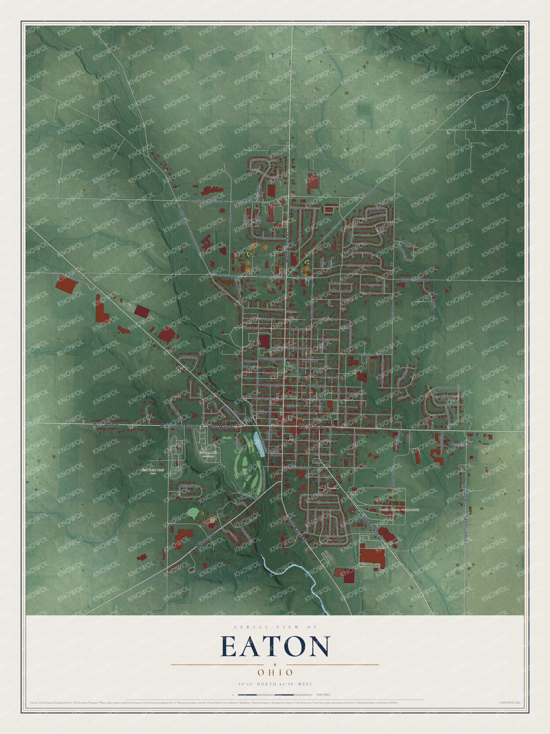
Created by KNOWOL in 2026, the print has deep red buildings, pale roads and green shaded terrain. A cream border surrounds the view. The title panel reads "Aerial View of Eaton, Ohio" with the coordinates 39°45' North, 84°38' West.
Hang it in an office, den or entryway where you can stop and find a street. It's a gift for someone who grew up near Fort Saint Clair Park or has moved away from Eaton. Open the preview and zoom in on the blocks you know. See sizes and frames for the Eaton map.