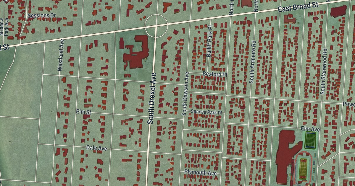
If you grew up in Bexley or have family here, there's plenty to find on this print. This modern aerial view brings Bexley in Franklin County, Ohio into focus with modern data and a vintage feel. Red buildings fill the blocks between pale streets. A blue creek curves along the left side, beside green ground and the homes near Jeffery Park.
East Main Street and the Drexel Theatre
On this map you'll find East Main Street, East Broad Street, Bexley City Hall, Jeffery Park, Commonwealth Park, South Drexel Avenue, Maryland Avenue, Clifton Avenue, Bryden Road, College Avenue, South Cassingham Road, and more. Each red shape is a building, so zoom in on the preview and look for yours.
Bexley's Drexel Theatre opened on Christmas Day in 1937. Its first movie was One Mile from Heaven, according to the theatre's historical marker. Architect Robert R. Royce designed the building in Art Deco and Art Moderne styles. The P.F. Yoerger Sign Company designed its marquee. The theatre's address is 2254 East Main Street, a street you can find by name on this map.
By 2009, the Drexel had fallen on hard times. Friends of the Drexel and the Columbus Association for the Performing Arts joined forces to save and restore it. In 2015, the theatre was added to the National Register of Historic Places.
Bexley, from Commonwealth Park to East Main Street
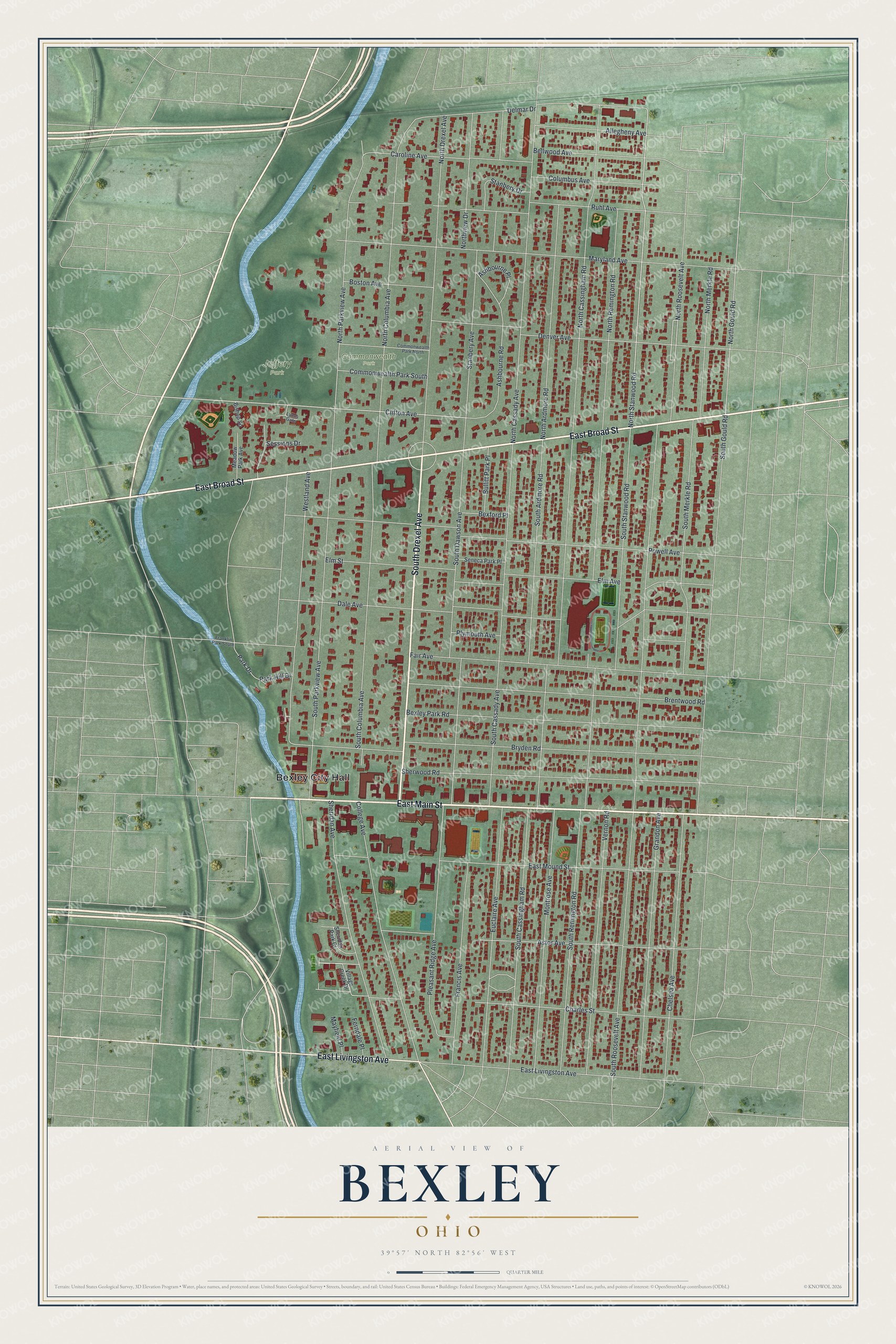
Created by KNOWOL in 2026, this print uses geographic data for its roads, buildings and terrain. Deep red buildings stand out against soft green land and pale roads. A cream border surrounds the view. The title panel reads "AERIAL VIEW OF BEXLEY OHIO" with 39°57' NORTH 82°56' WEST beneath it.
Hang it in an office, den or entryway where you can take a closer look. It's a gift for someone who grew up near Commonwealth Park or still comes back for a movie at the Drexel. Open the preview and zoom in on a block you know. See sizes and frames for the Bexley map.