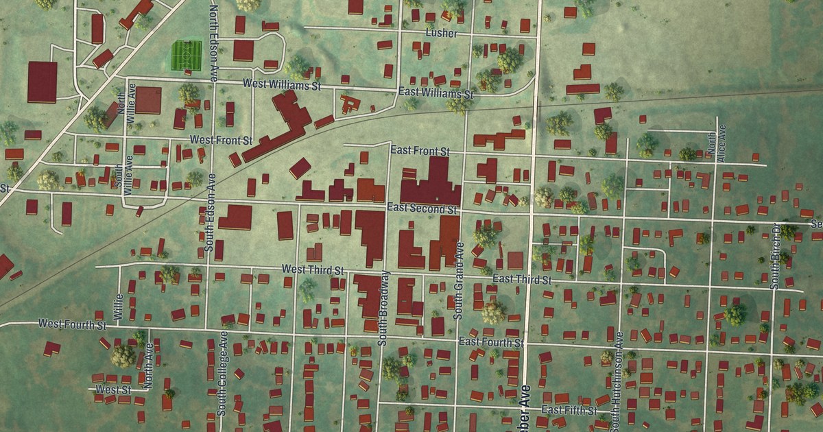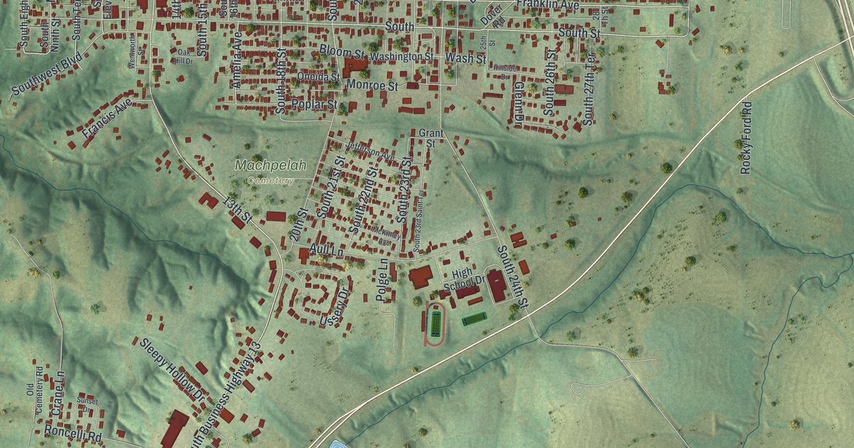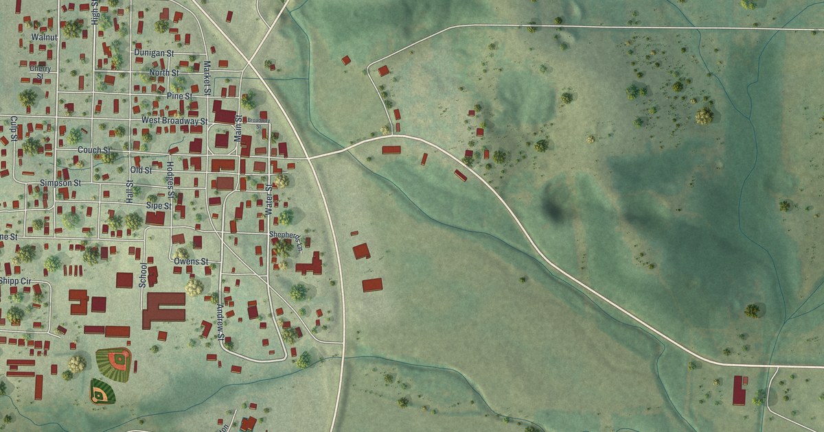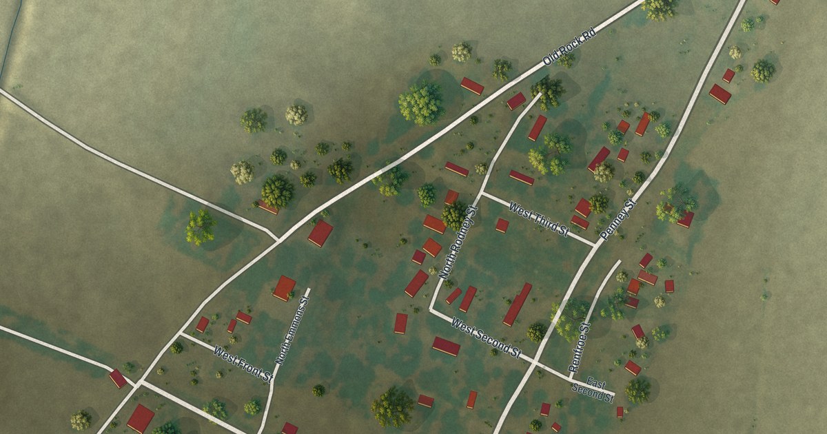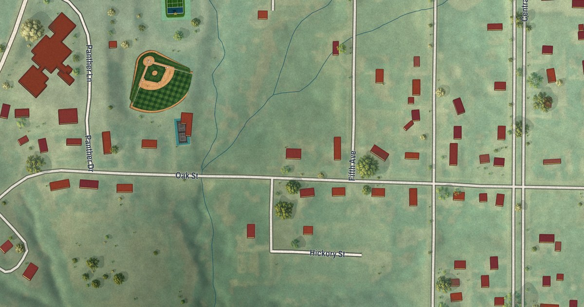
If you grew up in Pattonsburg, or still drive Oak Street most days, this map was made for you. It's a fresh aerial view of Pattonsburg in Daviess County, Missouri, built from modern data and given a vintage look. It shows the town's street grid, the long road that curves down the left side, the green ball field on the west edge, and every building drawn in red.
Oak Street, Main Street and the blocks around them
On this map you'll find Oak Street, Main Street, Central Avenue, Chestnut, Elm Street, Walnut Street, Hickory Street, First Avenue, Second Avenue, Fourth Avenue, Fifth Avenue, Panther Drive, Panther Lane, Meadows Lane, North Central Avenue, 162nd Street, and more. Each red shape is a building, so zoom in on the preview and look for yours.
First Lieutenant Meredith Morris of Pattonsburg
Pattonsburg sent its men to the Union side in the Civil War. The History of Daviess County, Missouri, printed in 1882, tells how a company was mustered into service at Gallatin on February 8, 1862. Joseph H. McGee of Gallatin was its captain. Meredith Morris of Pattonsburg was its first lieutenant. Their commissions were dated February 3, 1862. About a year later McGee was promoted to major. On March 26, 1863, Morris took his place as captain of the company. The same book lists the men who served, town by town. The Pattonsburg names include James Gray, William A. Gray, John Persinger, Nathan Woodey, and David Groomer, the company's first corporal. Five years after the war ended, on July 4, 1870, the county held a reunion for its Union soldiers. The Confederates were invited too, and they came. The town those men called home is the grid of red buildings you see around Main Street and Central Avenue.
The town had its own newspaper not long after. A later county history says the first paper published in Pattonsburg was the Call, and its first issue came out in September 1881. Today the west side of the map is the busiest-looking spot. A green ball field and a group of larger buildings sit near Panther Drive and Panther Lane, with the long road curving past them.
A print for anyone who knows Panther Drive
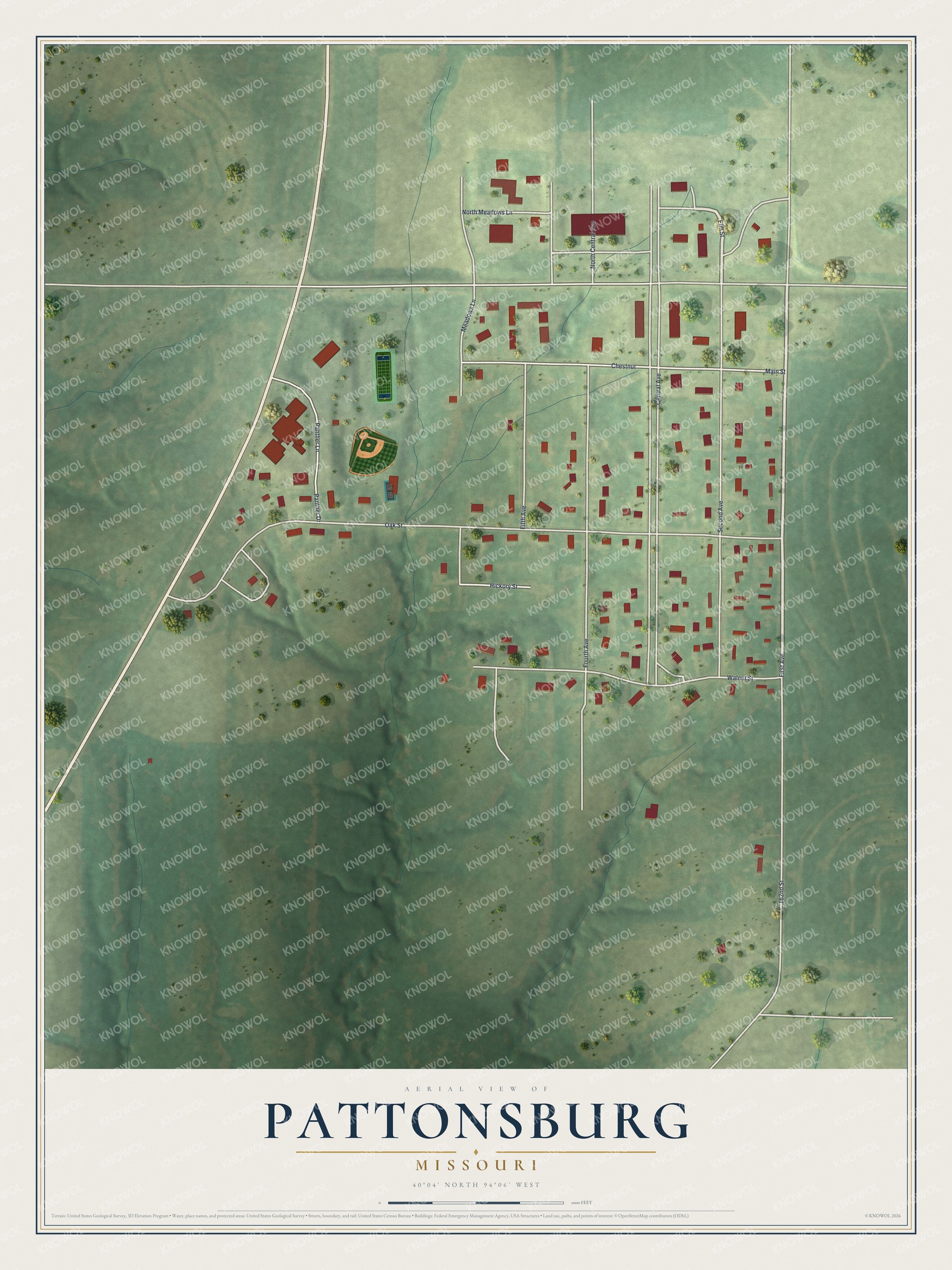
Created by KNOWOL in 2026. The print shows Pattonsburg from above in soft greens, with roads drawn in white and buildings in red. A long road curves down the left side past the green ball field and the larger buildings near Panther Drive. Below the map, the title panel reads AERIAL VIEW OF PATTONSBURG, MISSOURI, 40°04' NORTH 94°06' WEST.
It suits a living room, a kitchen wall, a den, or an office in town. It's a good gift for anyone who spent evenings at the ball field by Panther Drive or grew up on Oak Street, especially someone who has moved away. Open the preview and find your own block. See sizes and frames for the Pattonsburg map.