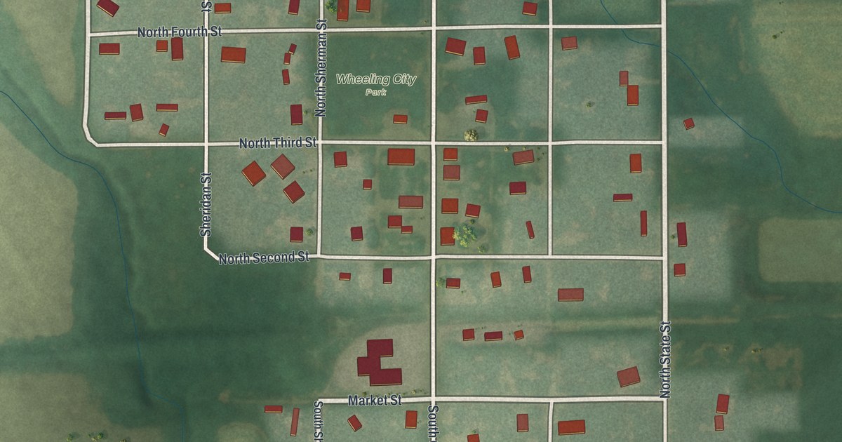
If you grew up in Wheeling or still have family on its small grid of streets, this map was made with you in mind. It's a new aerial view of Wheeling in Livingston County, Missouri, built from modern data and finished with a vintage feel. You'll see the town's streets from Eighth Street down to Highway 36, with Wheeling City Park near the middle. Red shapes mark the homes and buildings. Green fields, tree lines and winding creeks fill the land all around town.
Find Your Street in Wheeling
On this map you'll find North State Street, South State Street, Market Street, Spring Street, Grant Street, Lincoln Street, Sheridan Street, North Sherman Street, Eighth Street, North Fifth Street, North Fourth Street, North Third Street, Second Street, Highway 36, Wheeling City Park, and more. Each red shape is a building, so zoom in on the preview and look for yours.
Wheeling's School and Its Log Building of 1859
Wheeling's school has deep roots. A county history printed in 1886 tells how it started. The public school of that year grew out of a school first organized in January 1860. It met in a small log building. That building went up in the fall of 1859. The book says it stood in what is now the southern part of the town. On the map, that end of town holds South State Street, South Grant Street, South Sherman Street and South Fifth Street.
The same book gave Wheeling a sketch of its own. It covered the town's history, its business interests, its church and its societies. A green ball diamond sits on the south side of town today, just below Market Street and Second Street.
Wheeling and Wheeling City Park on Your Wall
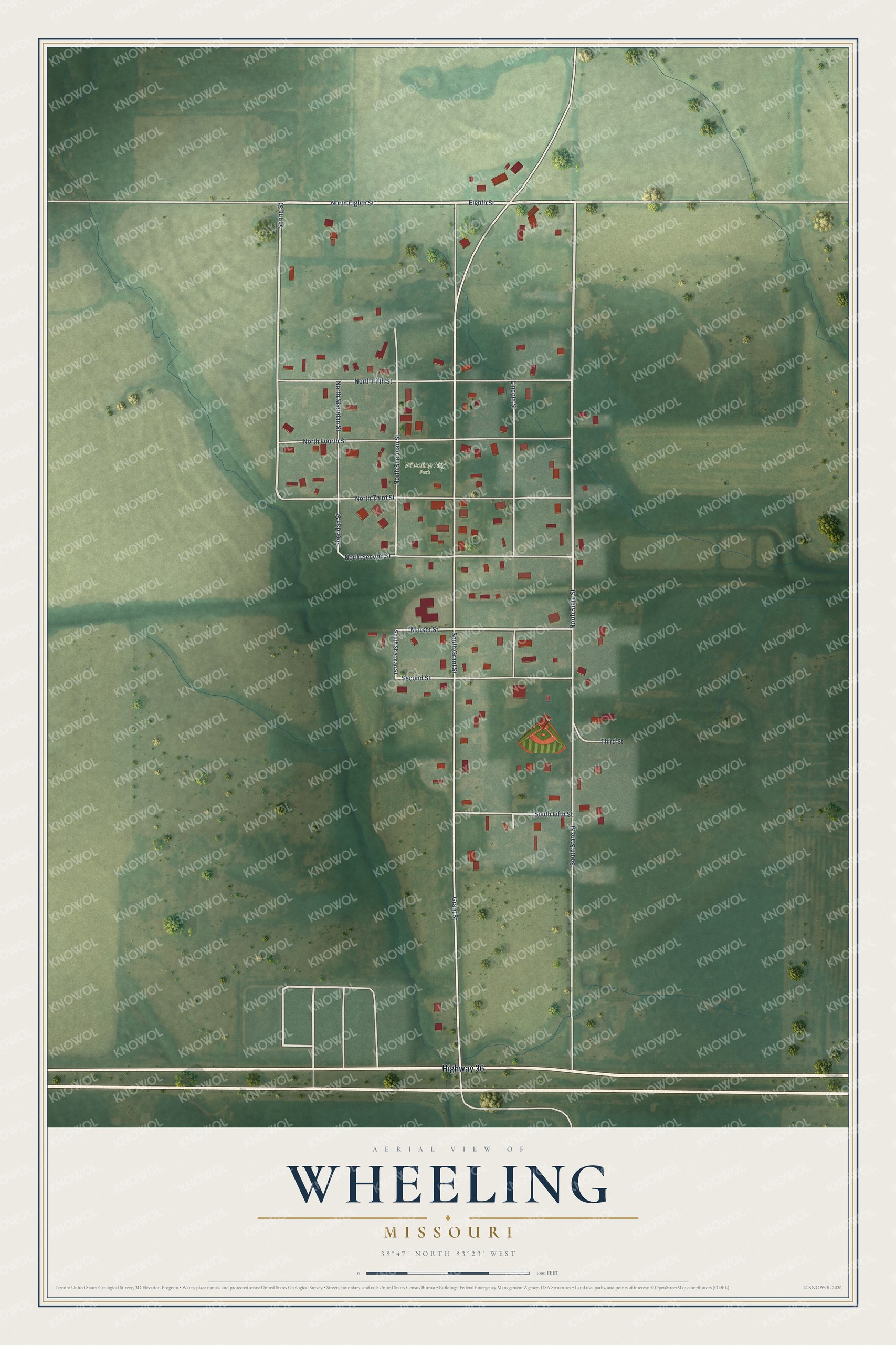
Created by KNOWOL in 2026, this print shows Wheeling from above in soft greens, with white streets, red buildings and blue creeks winding through the fields. The title panel reads "Aerial View of Wheeling, Missouri" with the coordinates 39°47' North 93°23' West.
It fits a kitchen, a front hall or a family room. It makes a good gift for someone who grew up near Wheeling City Park and moved away, or for anyone with family on State Street. Open the preview and find the streets you know. See sizes and frames for the Wheeling map.