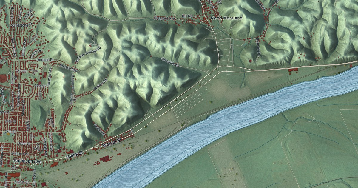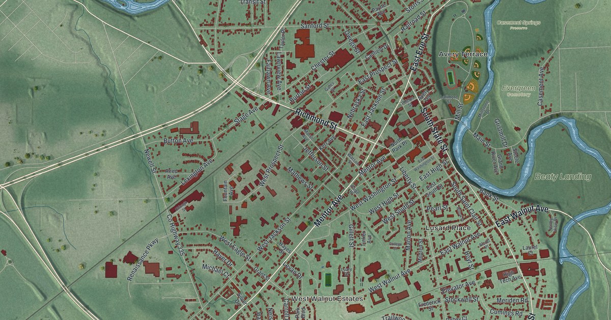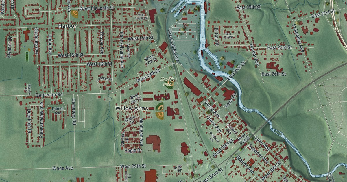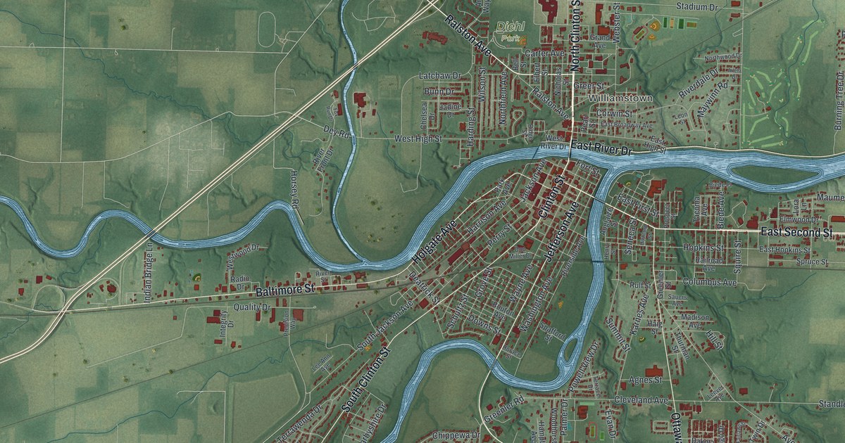
If you grew up on Clinton Street, walked to the library on Fort Street, or still have family in town, this map is for you. It's a modern aerial view of Defiance in Defiance County, Ohio, made from modern data and given a vintage look. Two blue rivers meet right in the middle of the sheet, with downtown packed around the spot where they join. Red buildings spread out from there in every direction, and green farm fields fill the edges.
Find Clinton Street and Fort Street on the Defiance map
On this map you'll find Clinton Street, Fort Street, Washington Avenue, Jefferson Avenue, Ottawa Avenue, Baltimore Street, East River Drive, East Second Street, Holgate Avenue, Ralston Avenue, Hopkins Street, Stadium Drive, Diehl Park, Williamstown, and more. Each red shape is a building, so zoom in on the preview and look for yours.
Fort Winchester and the War of 1812
In early October 1812, General William Henry Harrison ordered a fort built here. It was finished on October 15. They named it Fort Winchester. It served the American army as a lookout post and a supply depot during the War of 1812. Until Fort Meigs was done in 1813, this was the front line against the British and their Indian allies. The fort was 600 feet long and 300 feet wide. A blockhouse stood at each of its four corners. Inside the walls were storehouses and a hospital. That's all from the Ohio History Connection's Fort Winchester marker. The marker stands by Washington Avenue, and a second marker sits at Fort Street and Washington Avenue, where the two rivers meet. On the map, that corner is right in the heart of downtown.
Winchester's Camp No. 2 on East River Drive
The soldiers had a hard fall. In November 1812, General James Winchester moved his troops to the north side of the Maumee River. They built an earthen fort there, called Camp No. 2. It rained and rained. Fever spread through the camp. A soldier named Elias Darnell wrote that men were buried nearly every day. The ground was too wet and marshy, so the army moved six miles down the river. The marker for that camp stands on East River Drive, across the water from downtown.
Keep Fort Street and the two rivers close
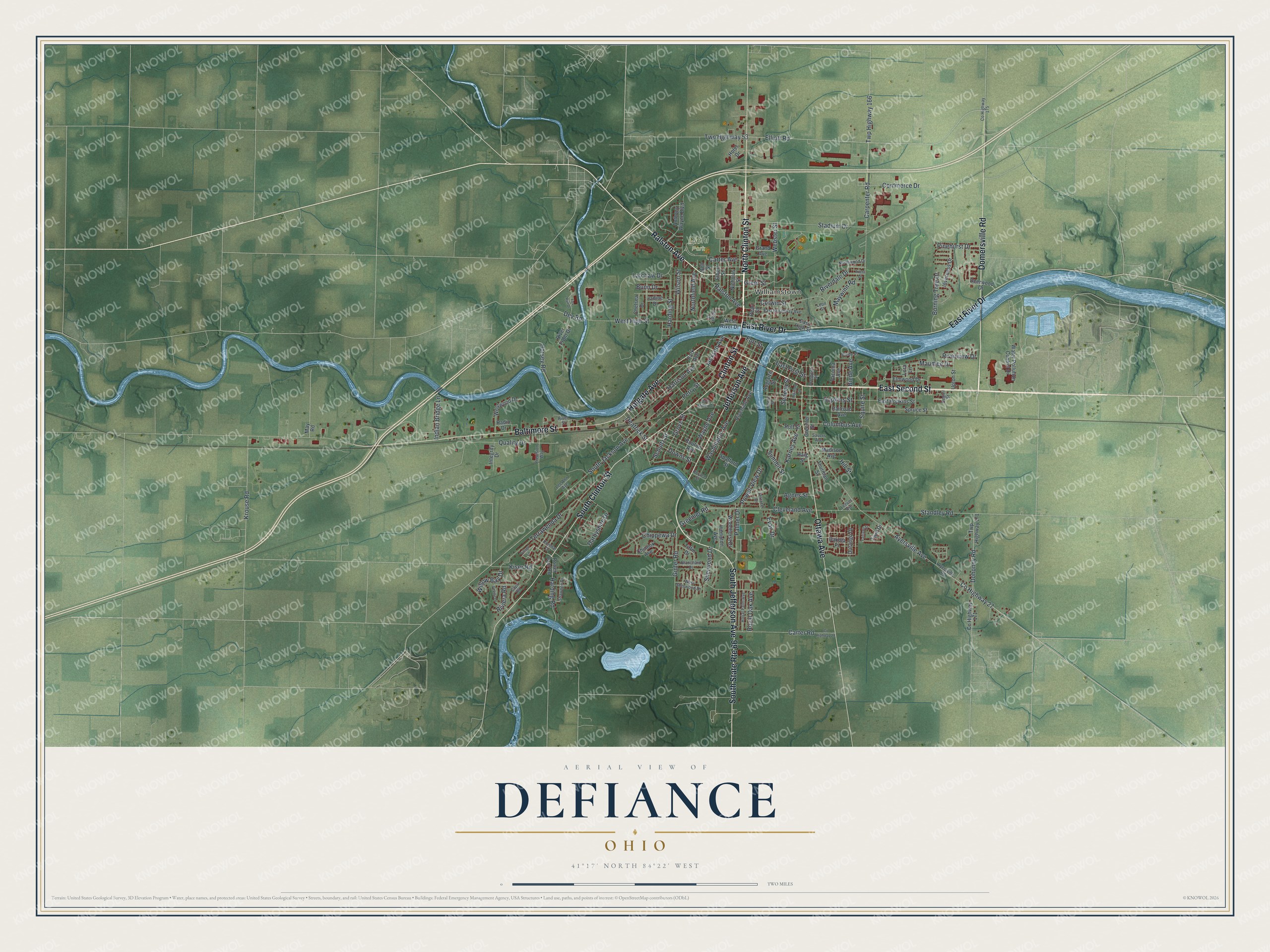
Created by KNOWOL in 2026, this print shows Defiance from above, with soft green fields, winding blue rivers and red buildings packed downtown. The title panel reads "Aerial View of Defiance, Ohio" with the coordinates 41°17' North 84°22' West.
It fits a living room, a front hall or a home office. It's a good gift for someone who played at Diehl Park as a kid, or for a friend who moved away and still misses Clinton Street. Open the preview and find your own block. See sizes and frames for the Defiance map.