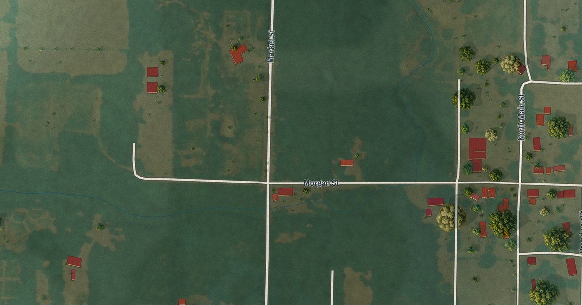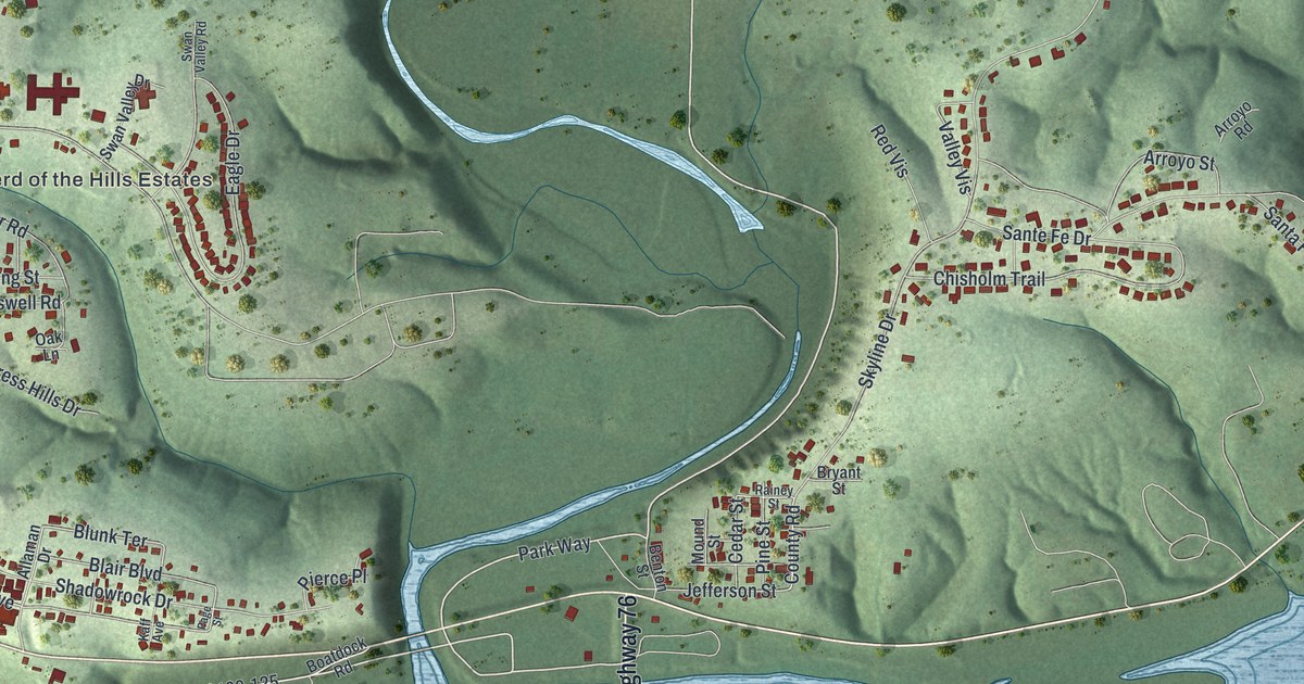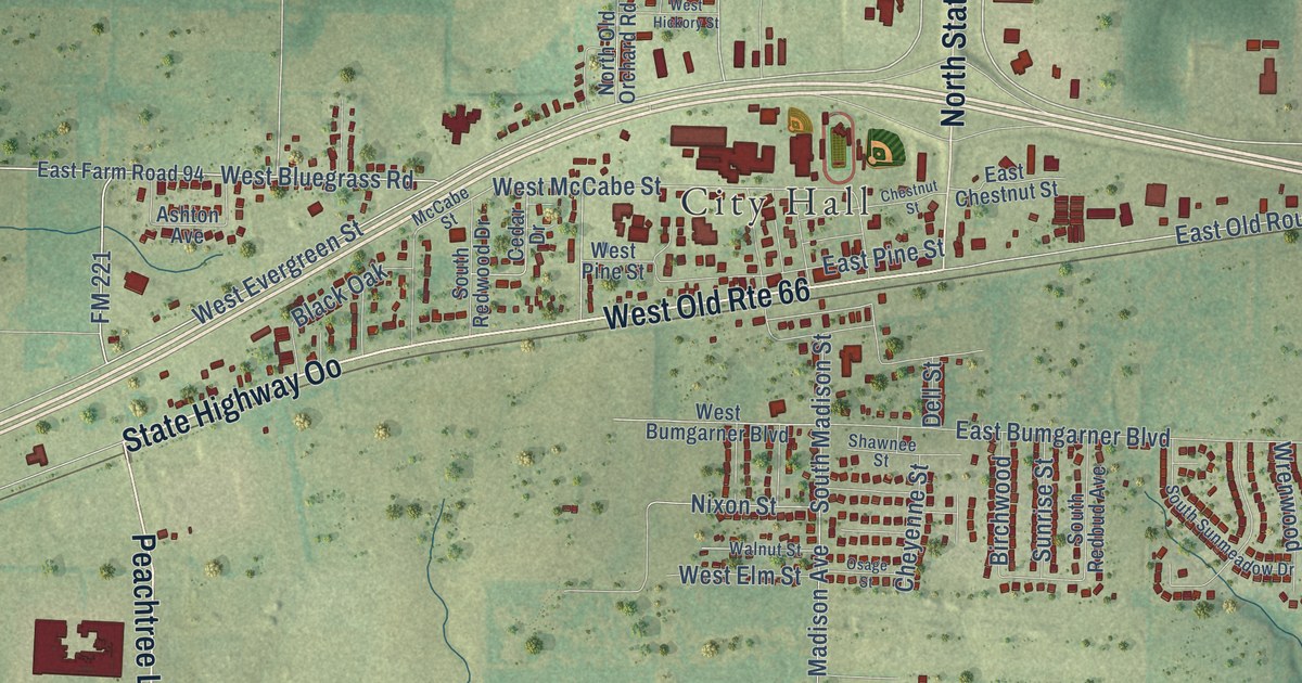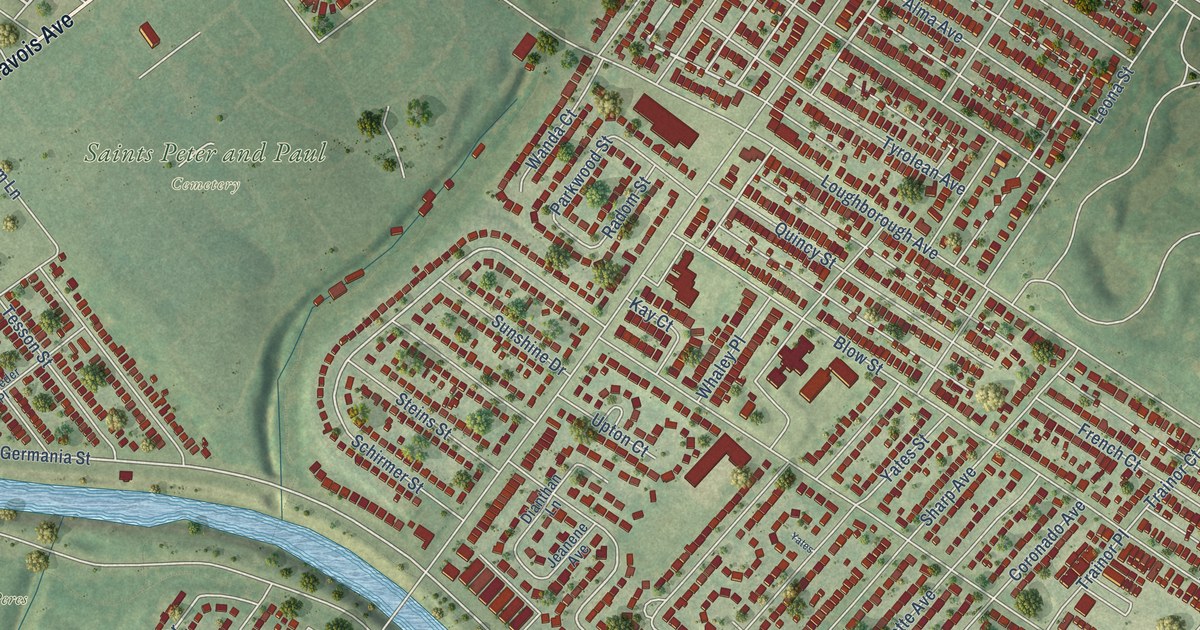
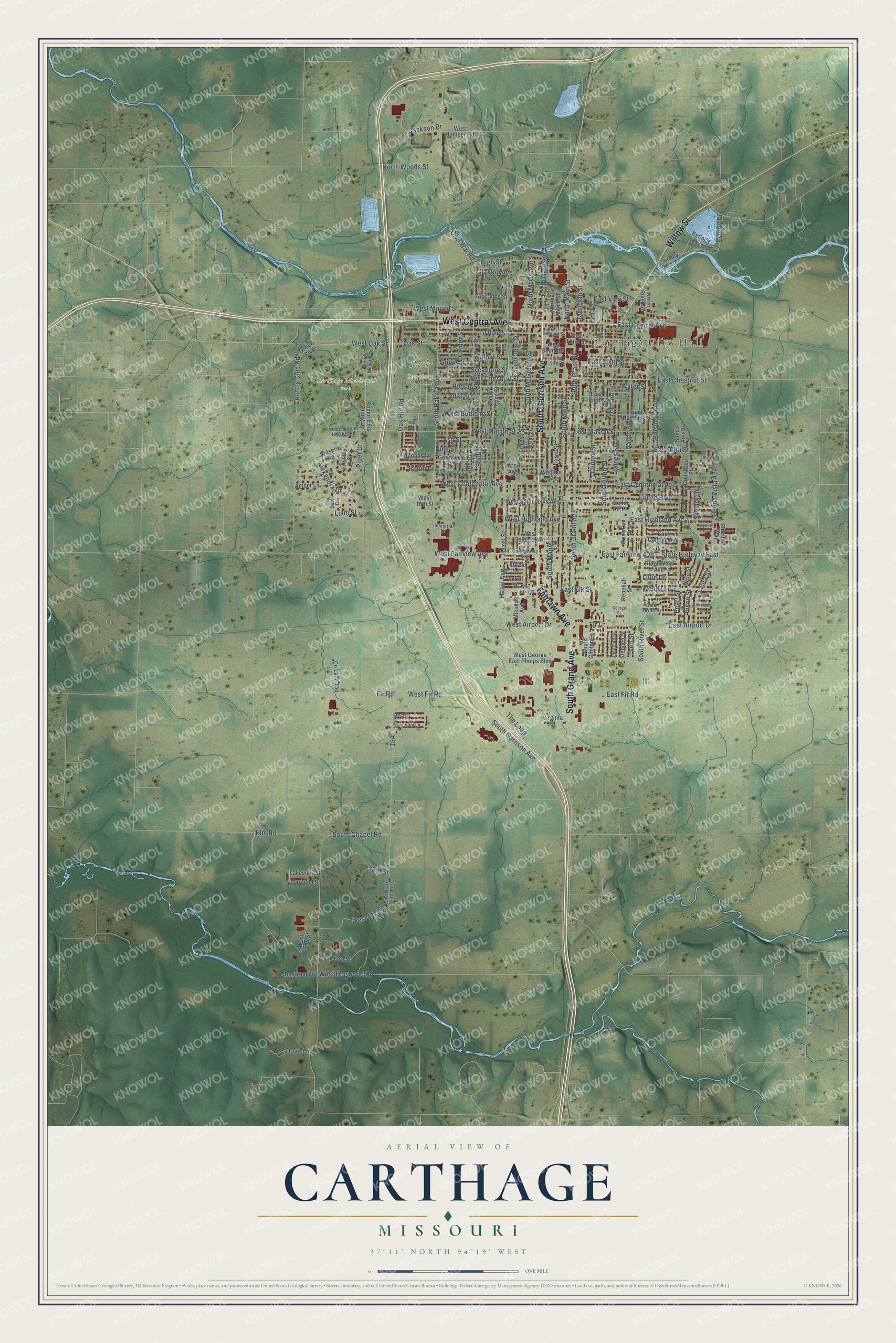
This beautifully detailed map of Carthage, Missouri was created in 2026 using aerial imagery combined with modern topographical, census, street and landmark data. It’s a one-of-a-kind view of Carthage that combines accurate data with a vintage aesthetic. The map shows every building in its true location, many of the roads carry their names, and the shaded topographic relief shows the shape of the land.
Explore an aerial view of Carthage, Missouri
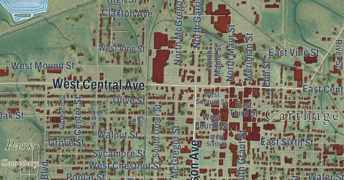
On the map you’ll find Carthage City Hall, Carthage Municipal Park, and Park Cemetery, along with South Garrison Avenue, South Grand Avenue, Fairlawn Avenue, Willow Street, West Central Avenue, North Garrison Avenue, West Oak Street, Esterly Drive, West Chestnut Street, and more. If you look closely you can even find your house accurately drawn in its correct location. Zoom in on the preview to look for yours.
Did you know this piece of Carthage, Missouri history?
From the State Historical Society of Missouri: "By an order of the county court on March 29, 1842, Carthage was named for the ancient city of Carthage in northern Africa."
Take a closer look at the Carthage map
Street and place names on the Carthage, Missouri map
These names are printed on the map of Carthage, Missouri.
Places: Carthage City Hall, Carthage Municipal Park and Park Cemetery.
Streets and roads: South Garrison Avenue, South Grand Avenue, Fairlawn Avenue, Willow Street, West Central Avenue, North Garrison Avenue, West Oak Street, Esterly Drive, West Chestnut Street, Clinton Street, State Highway East, West Fir Road.
More street names, A to Z
38th Street, Alexandra Drive, Alison Street, Amber Lane, Ashley Drive, Ash Street, Belle Air Place, Bluebird Way, Buena Vista Avenue, Carrie Street, Cedar Street, Center Street, Civil War Road, Claxton Avenue, Co Lane 156, Country Club Road, County Highway East, Devin Drive, Dogwood Road, Dove Lane, East 13th Street, East Airport Drive, East Budlong Street, East Centennial Avenue, East Central Avenue, East Chestnut Street, East College Avenue, East Elk Street, East Fairview Avenue, East Fir Road, East Highland Avenue, East Macon Street, East Sixth Street, East Tenth Street, East Third Street, East Vine Street, Elm Road, Elm Street, Euclid Boulevard, Fall Street, Fir Lane, Fir Road, Florence Street, Forest Drive, Forest Street, Gene Taylor Drive, George Street, Glenwood Place, Griswold Avenue, Grove Street, Hannah Lane, Hazel Avenue, Hazel Street, High Street, Industrial Drive, Jackson Drive, James Street, Jersey Street, Jiminy Lane, Jonathan Street, Kellogg Lake Drive, Lakeview Street, Lark Lane, Laura Street, Liam Street, Lillie Drive, Lyon Street, Marigold Street, Meridian Street, Michael Court, Miller Street, Missouri Avenue, North Main Street, North Maple Street, North McGregor Street, North River Street, North Woods Street, Oak Hill Road, Oak Street, Old 66 Boulevard, Olive Street, Orchard Street, Pearl Street, Pine Street, Piper Drive, Poplar Street, Prospect Avenue, Reata, Rebekah Street, Regan Avenue, Richard Webster Drive, Ridgecrest Avenue, Robert Ellis Young Drive, Robin Lane, Rombauer Avenue, Scott Street, Sheila Ann Drive, Skylark Drive, Skyline Drive, Sophia Street, South Baker Boulevard, South Case Street, South Chapel Road, South Clinton Street, South Francis Street, South Fulton Street, South Grant Street, South Main Street, South Maple Street, South McGregor Street, South Oak Hill Road, South Orner Street, South River Street, Stephen Street, Sunrise Drive, Sycamore Street, The Loop, Theo Street, Valley Street, Virginia Street, Walnut Street, Water Street, Wendy Lane, West 16th Street, West 41st Street, West 42nd Street, West 43rd Street, West Airport Drive, West Budlong Street, West Centennial Avenue, West College Avenue, West Dogwood Road, West Elk Street, West Fairview Avenue, West Fourth Street, West George East Phelps Boulevard, West Highland Avenue, West Java Street, West Juniper Road, West Macon Street, West Morgan Heights Road, West Mound Street, West Saint Louis Avenue, West Second Street, West Sixth Street, West Vine Street, Wiggins Street, Wilson Road, Wood Avenue, Wyndham Lane, Wynwood Drive.
See the Carthage, Missouri map on a wall
The Carthage map as an 18 x 24 inch print in a black frame.

This beautifully detailed map of Carthage makes an attractive addition to your office, library, or den, and it can even be used to teach children the geography and history of the area. It also makes a great gift for anyone who grew up in Carthage or moved away. When you’re done exploring, click here to get your copy of the Carthage map.