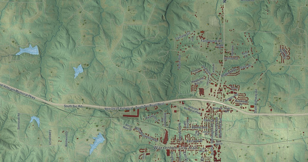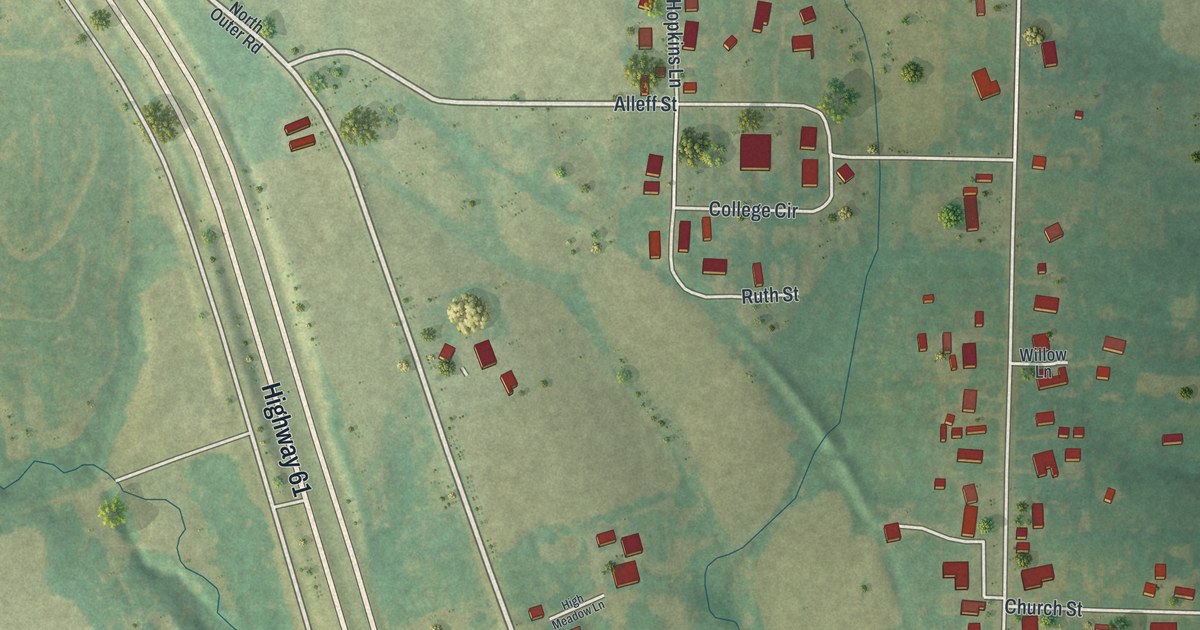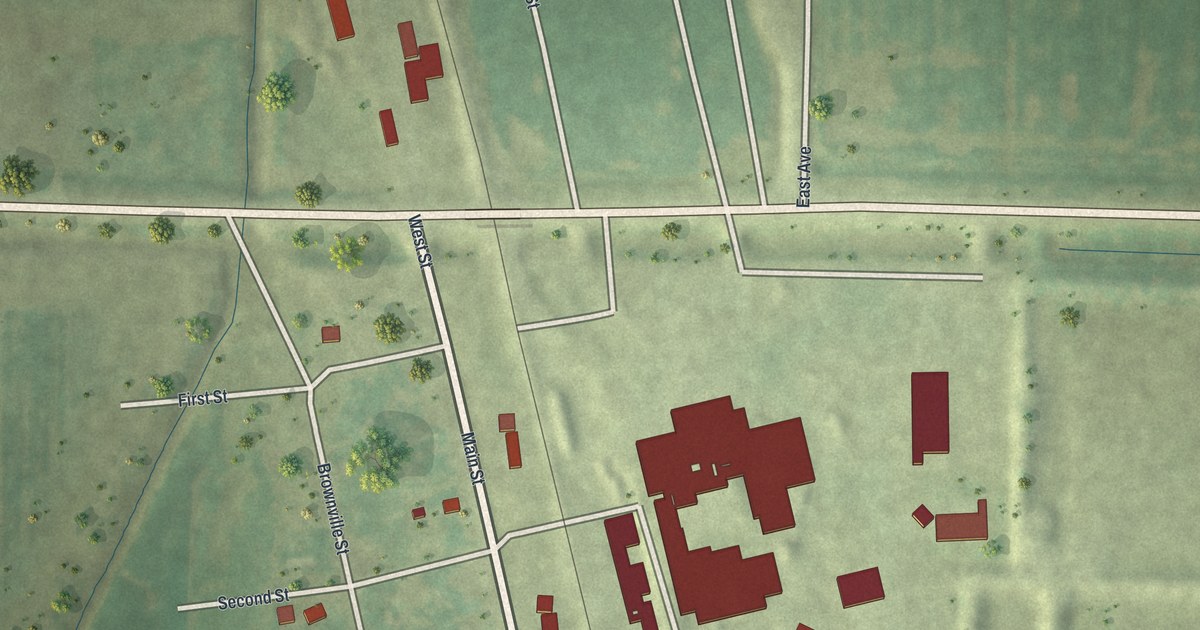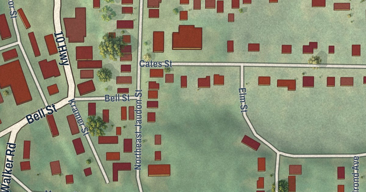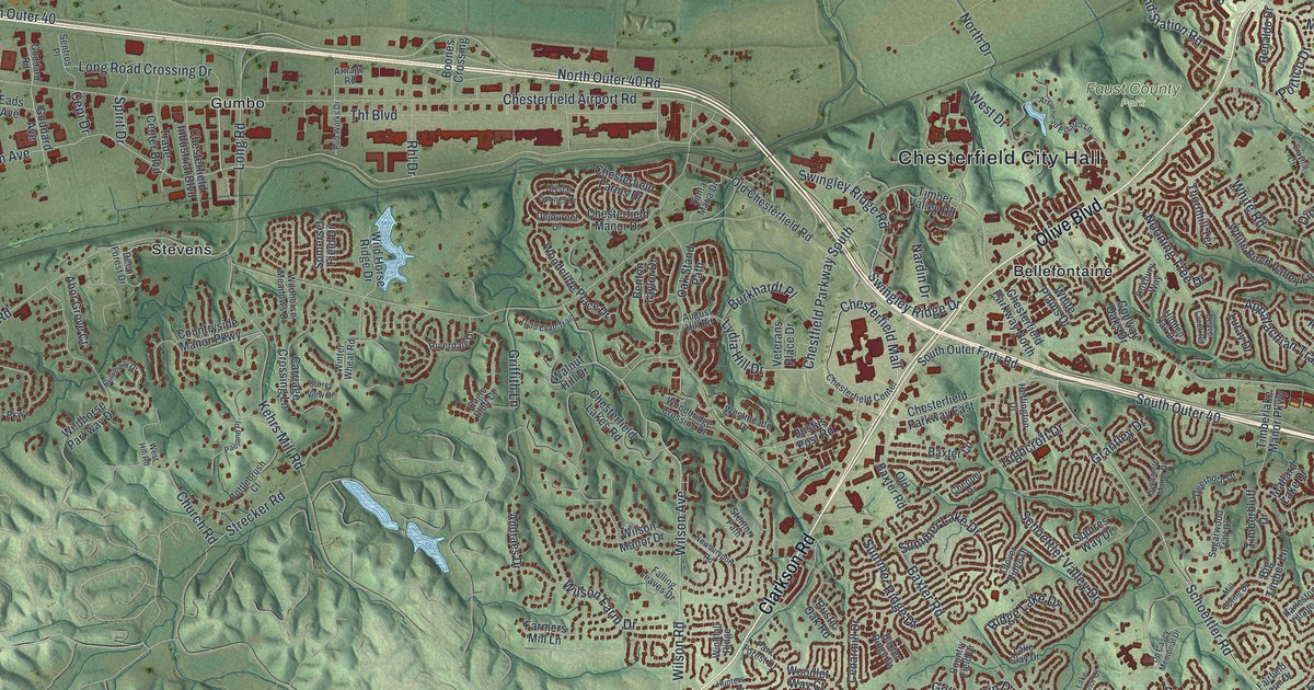
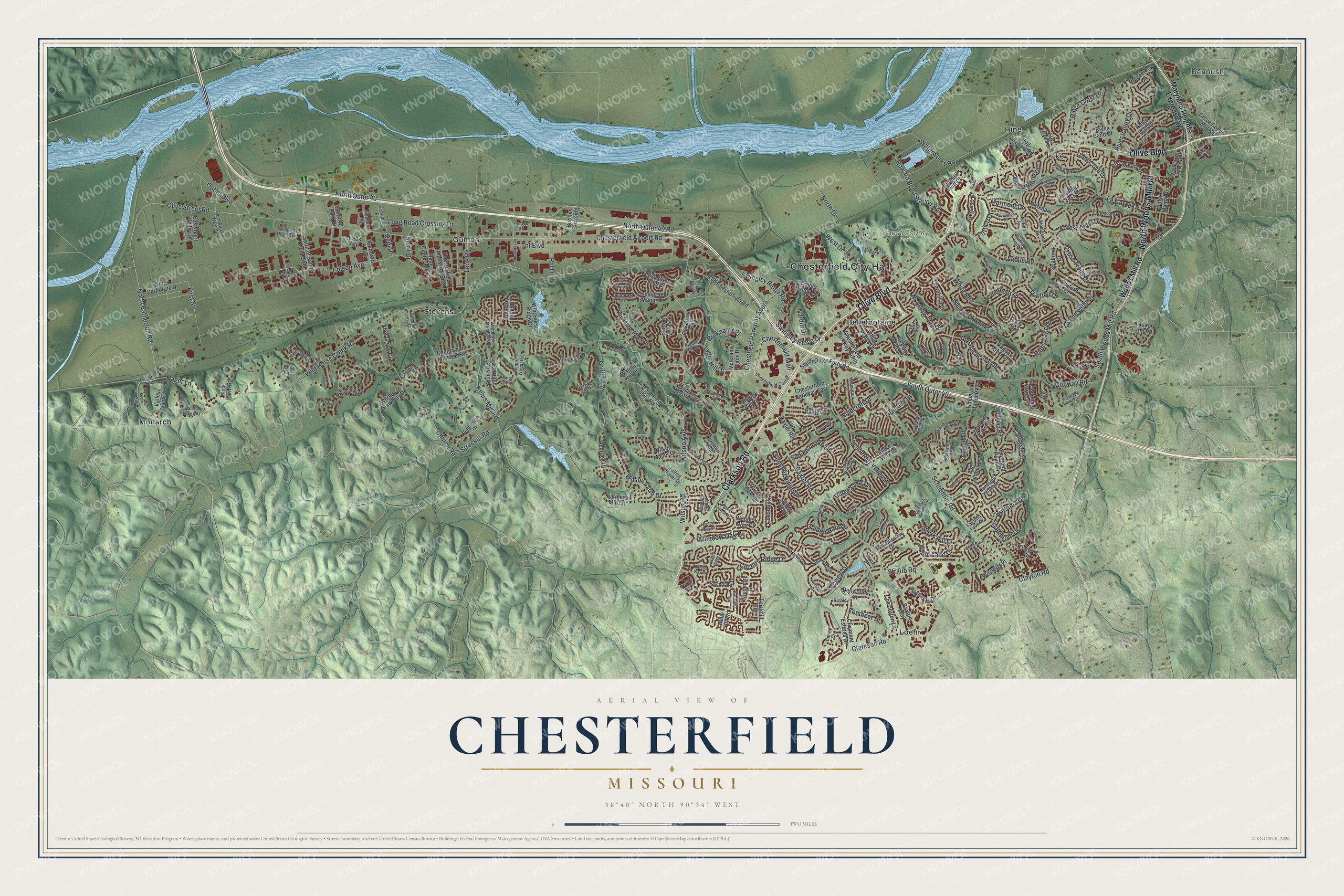
This beautifully detailed map of Chesterfield, Missouri was created in 2026 using aerial imagery combined with modern topographical, census, street and landmark data. It’s a one-of-a-kind view of Chesterfield that combines accurate data with a vintage aesthetic. The map shows every building in its true location, many of the roads carry their names, and the shaded topographic relief shows the shape of the land.
Explore an aerial view of Chesterfield, Missouri
On the map you’ll find Chesterfield City Hall, Benbush, Faust County Park, Bellefontaine, Gumbo, Hine, Lake, Loehr, Monarch, and Stevens, along with Olive Boulevard, Clarkson Road, and more. If you look closely you can even find your house accurately drawn in its correct location. Zoom in on the preview to look for yours.
Did you know this piece of Chesterfield, Missouri history?
Gumbo, one of the old settlements that now form Chesterfield, took its name from its soil. The rich, silty earth turned into sticky gumbo mud whenever it got wet. Workers made a gravel-like material from that mud. It surfaced streets and sidewalks in Forest Park for the 1904 World’s Fair.
Take a closer look at the Chesterfield map
Street and place names on the Chesterfield, Missouri map
These names are printed on the map of Chesterfield, Missouri.
Places: Chesterfield City Hall, Benbush, Faust County Park, Bellefontaine, Gumbo, Hine, Lake, Loehr, Monarch and Stevens.
Streets and roads: Olive Boulevard, Clarkson Road, North Woods Mill Road, North Outer 40, Schoettler Road, Chestfield Parkway South, Chesterfield Mall, Swingley Ridge Drive, Howard Bend Station Road, North Eatherton Road, Lydia Hill Drive, Edison Avenue.
More street names, A to Z
Abor Grove Court, Agusta Drive, Andraes Drive, Appalachian Trail, Arnage Road, Arrowhead Estates Lane, August Hill Road, Barons Way Drive, Baxter Lane, Baxter Ridge Drive, Baxter Road, Baxton Way, Beaver Creek Road, Bell Avenue, Benton Taylor Drive, Big Timber Lane, Blue Hill Road, Boones Crossing, Bottlebrush Court, Boxford Court, Brayhill Court, Bridgeway Drive, Brittania Drive, Broadmoor Drive, Brook Hill Drive, Burkhardt Place, Candish Lane, Carriage Crossing Lane, Cedarmill Drive, Cepi Drive, Chamisal Drive, Chequer Drive, Chermoore Drive, Chesterfield Airport Road, Chesterfield Center, Chesterfield Farms Drive, Chesterfield Industrial Boulevard, Chesterfield Lakes Road, Chesterfield Manor Drive, Chesterfield Parkway East, Chesterfield Parkway North, Chesterton Lane, Church Road, Claymont Estates Drive, Claymoor Drive, Clayton Road, Clover Ridge Drive, Conway Meadows Drive, Conway Oaks Drive, Conway Road, Conway Springs Drive, Corley Drive, Country Field Drive, Country Ridge Drive, Countryside Manor Parkway, County Cork Drive, Cove Drive, Creve Coeur Mill Road, Cross Trails Drive, Crystal Springs Drive, Cypress Hill Drive, Deep Forest Drive, Deerhorn Drive, Dejournet Drive, Denwoods Court, Dinsmoor Drive, Dp Casey Memorial Drive, Duxbury Way, Eads Avenue, Eagle Bluff Court, Eagle Manor Lane, East Spirit Valley Drive, Eatherton Road, Eddington Drive, Fairfield Farm Drive, Falling Leaves Drive, Farmers Mill Lane, Fick Farm Road, First Street, Forest Crest Drive, Forestvale Drive, Forsheer Drive, Gatemont Drive, Glen Cove Drive, Goddard Avenue, Goddard Road, Golden Rain Drive, Grantley Drive, Green Trail, Greystone Manor Parkway, Griffith Lane, Gunston Hall Court, Hager Lane, Harleston Village Drive, Heather Crest Drive, Heffington Drive, Hidden Oak Drive, Highcroft Drive, High Valley Drive, Hill House Road, Hoffman Road, Hog Hollow Road, Hunters Hill Drive, Hunters Way Drive, Isleview Drive, Joyceridge Drive, Judson Manor Drive, Justus Post Road, Kehrs Mill Road, Kendall Bluff Court, Ladue Farm Road, Ladue Road, La Gorce Drive, Lake Clay Drive, Lake Manor Court, Lochcrest Drive, Long Road, Long Road Crossing Drive, Luray Drive, Mallard Lake Drive, Markham Lane, Marmont Drive, Maryland Heights Expressway, Meadow Oak Drive, Mill Spring Drive, Nardin Drive, Narrows Drive, Newburyport Road, Nooning Tree Drive, North Drive, North Outer 40 Road, Oak Stand Path, Old Baxter Road, Old Chesterfield Road, Olive Street Road, Outlet Boulevard, Pacland Place, Parasol Drive, Park Forest Drive, Petzold Road, Picardy Hill Drive, Portico Drive, Post Road, Pub Works Drive, Rainy Lake Drive, Renaldo Drive, Rhl Drive, Rialto Drive, Richley Drive, Ridge Crest Drive, Ridgecrest Drive, Ridge Lake Drive, Ridge Trail Drive, River Bend Drive, Riverdale Drive, River Valley Drive, Rogue River Drive, Royalbrook Drive, Rustic Oak Road, Santa Maria Drive, Savonne Court, Saylesville Drive, Schoettler Valley Drive, Seabrook Drive, Sentrus Place, Somerset Field Drive, South Eatherton Road, South Outer 40, South Outer Forty Road, South Woods Mill Road, Spirit 40 Park Drive, Spirit Airpark West Drive, Spirit Drive, Spirit of Saint Louis Boulevard, Squires Way Drive, Stablestone Drive, Stenton Path, Straub Road, Strecker Road, Strollways Drive, Sugarwood Trail Drive, Summer Lake Drive, Summer Ridge Drive, Surrey View Drive, Swingley Ridge Road, Sycamore Drive, Sycamore Manor Drive, Tara Oaks Drive, Terrimill Terrace, Thf Boulevard, Thornhill Terrace, Timberbluff Drive, Timberlake Manor Parkway, Timber Valley Road, Todd Evan Trail, Toreador Drive, Trade Center Boulevard, Trailtop Drive, Tramore Drive, Tuma Lane, Valley View Drive, Veterans Place Drive, Walnut Hill Drive, Waterworks Road, West Drive, Westerly Place, Westernmill Drive, West Hill Road, Westmeade Drive, White Birch Valley Lane, White Lane Drive, White Plains Drive, White Road, Wild Horse Creek Road, Wildhorse Meadows Drive, Wildhorse Parkway Drive, Wild Horse Ridge Drive, Wild Horse Way, Willow Ridge Lane, Wilson Avenue, Wilson Farm Drive, Wilson Manor Drive, Wilson Road, Windfall Ridge, Wings Corporate Drive, Wings of Hope Boulevard, Winter Wheat Road, Woodbridge Crossing Drive, Woodcliffe Place Drive, Woodlake Village Drive, Woodlet Way Court, Woods Mill Road, Yarmouth Point Drive.
See the Chesterfield, Missouri map on a wall
The Chesterfield map as an 18 x 24 inch print in a black frame.

This beautifully detailed map of Chesterfield makes an attractive addition to your office, library, or den, and it can even be used to teach children the geography and history of the area. It also makes a great gift for someone who left Chesterfield and still calls it home. When you’re done exploring, click here to get your copy of the Chesterfield map.