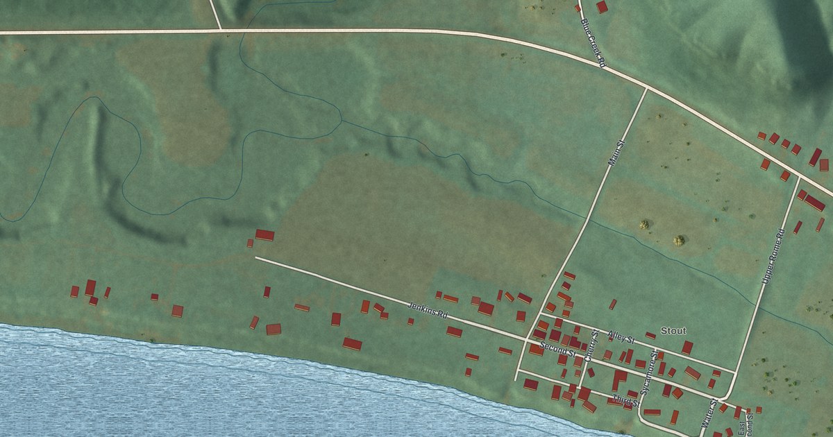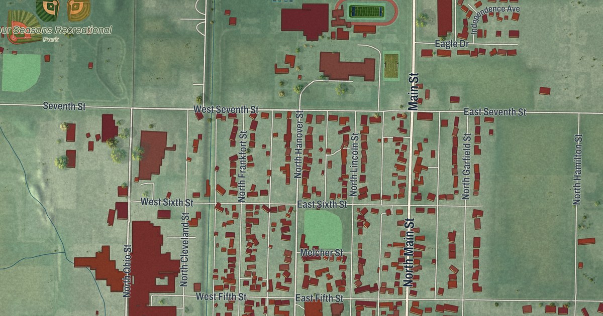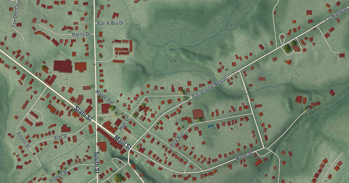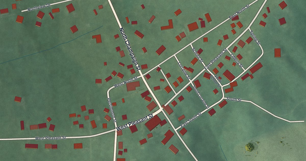
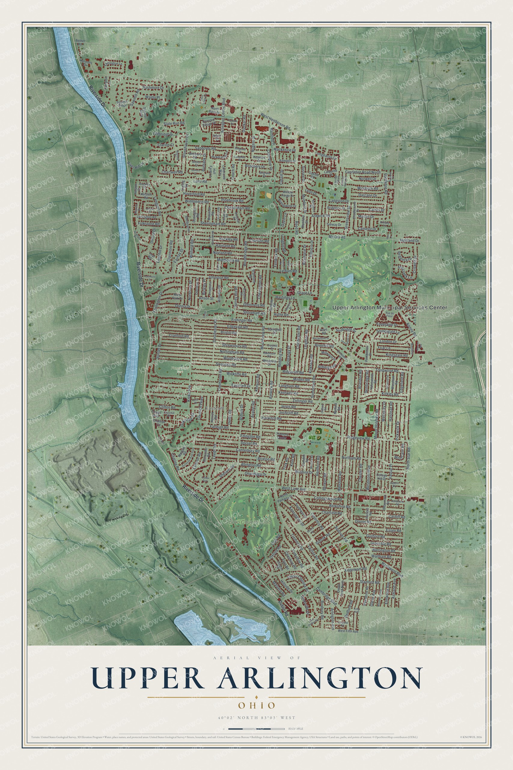
This beautifully detailed map of Upper Arlington, Ohio was created in 2026 using aerial imagery combined with modern topographical, census, street and landmark data. It’s a one-of-a-kind view of Upper Arlington that combines accurate data with a vintage aesthetic. The map shows every building in its true location, many of the roads carry their names, and the shaded topographic relief shows the shape of the land.
Explore an aerial view of Upper Arlington, Ohio
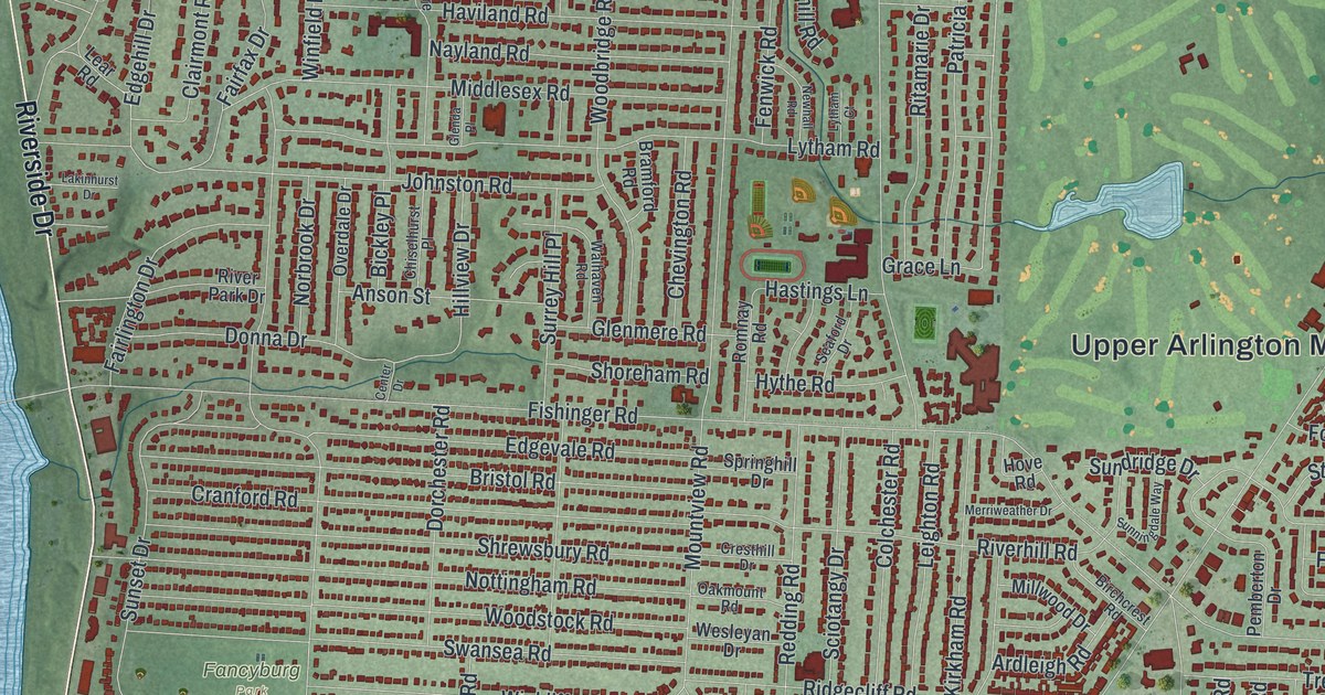
On the map you’ll find Upper Arlington Municipal Services Center, Eastcleft, Fancyburg Park, and Scioto Country Club, along with Riverside Drive, Canterbury Road, Lyon Drive, Upper Chelsea Road, Nugent Drive, Mumford Drive, Chartwell Road, Tremont Road, and more. If you look closely you can even find your house accurately drawn in its correct location. Zoom in on the preview to look for yours.
Did you know this piece of Upper Arlington, Ohio history?
Brothers King and Ben Thompson bought 840 acres from James T. Miller in 1913. In 1916 the National Guard turned the land into Camp Willis. Thousands of soldiers trained there before heading to the Mexican border against Pancho Villa. The camp closed by September, and the village incorporated in 1918.
Take a closer look at the Upper Arlington map
Street and place names on the Upper Arlington, Ohio map
These names are printed on the map of Upper Arlington, Ohio.
Places: Upper Arlington Municipal Services Center, Eastcleft, Fancyburg Park, Scioto Country Club and Crafton Park.
Streets and roads: Riverside Drive, Canterbury Road, Lyon Drive, Upper Chelsea Road, Nugent Drive, Mumford Drive, Chartwell Road, Tremont Road, Fishinger Road, Mountview Road, Zollinger Road, McCoy Road.
More street names, A to Z
Abington Road, Adner Court, Ainwick Road, Airendel Court, Alliston Court, Andover Road, Anson Street, Ardleigh Road, Ardwick Road, Arlington Avenue, Arlington Centre Boulevard, Asbury Drive, Ashdowne Road, Ashland Avenue, Avalon Road, Barrington Road, Bayford Court, Beaumont Road, Bedford Road, Belgrave Drive, Bembridge Road, Berkshire Road, Berwyn Road, Bethel Road, Beverly Road, Bickley Place, Billiton Court, Birchcrest Road, Brackley Road, Bramford Road, Brandon Road, Brandywine Drive, Braunton Road, Bridgeton Drive, Bristol Road, Brittany Lane, Brixton Road, Buckley Road, Burbank Drive, Camborne Road, Cambridge Boulevard, Camden Road, Camelot Drive, Cardiff Road, Carisbrook Road, Carriage Hill Lane, Carron Drive, Cassill Street, Castleton Road, Castleton Road North, Castleton Road West, Center Drive, Chadbourne Drive, Chardon Road, Charing Road, Chateau Circle, Chatfield Road, Cheltenham Road, Cheshire Road, Chester Road, Chevington Road, Chevy Chase Avenue, Chiselhurst Place, Churchill Drive, Cimmaron Road, Clairmont Road, Clarion Court, Clifton Road, Club Road, Coach Road, Colchester Road, College Hill Drive, Collingswood Road, Concord Road, Concord Village Drive, Coventry Road, Craigs Way, Cranford Road, Cresthill Drive, Criswell Drive, Crompton Drive, Danvers Court, Darcann Drive, Derby Road, Devon Road North, Dierker Road, Doncaster Road, Donington Road, Donna Drive, Doone Road, Dorchester Road, Dorchester Road South, Dorset Road, Dublin Road, Eastcleft Drive, Edgefield Road, Edgehill Drive, Edgemont Road, Edgevale Road, Edington Road, Elgin Road, Ellington Road, Elmwood Avenue, Essex Road, Exmoor Road, Fairfax Drive, Fairfax Road, Fairlington Drive, Farleigh Road, Fenwick Road, Folkstone Road, Fontenay Place, Fountaine Drive, Friar Lane, Gavin Lane, Glenda Place, Glenmere Road, Glenn Avenue, Glenrich Parkway, Grace Lane, Greensview Drive, Grenoble Road, Guilford Road, Halesworth Road, Halstead Road, Hampton Lane, Harford Road, Harwitch Road, Hastings Lane, Haverford Road, Haviland Road, Helston Court, Helston Road, Henthorn Road, Herrick Road, Highland Drive, Hillside Drive, Hillview Drive, Horizons Drive, Hove Road, Hull Farm Lane, Hythe Road, Inchcliff Road, Jervis Road, Johnston Road, Kempton Drive, Kenny Road, Kensington Drive, Kent Road, Kentwell Road, Kenyon Road, Keswick Drive, King Avenue, Kingsgate Road, Kioka Avenue, Kipling Road, Kirkham Road, Kirkley Road, Lafayette Drive, Lakinhurst Drive, Lanercost Way, Lane Road, Langham Road, Langport Road, Langston Drive, Lear Road, Leeds Road, Leighton Road, Linkbury Lane, London Drive, Longeaton Drive, Longhill Road, Love Drive, Lower Chelsea Road, Lymington Road, Lytham Court, Lytham Road, Mackenzie Drive, Malvern Road, Mansion Way, Margate Road, Marlyn Drive, Masters Drive, Melford Road, Merrifield Place, Merriweather Drive, Middlesex Road, Milden Road, Millcreek Lane, Millwood Drive, Montcalm Road, Mount Holyoke Road, Mumford Court, Nayland Road, Newhall Road, Norbrook Drive, Northam Road, North Bank Drive, North Parkway Drive, North Star Road, Northwest Boulevard, Norwell Drive, Nottingham Road, Oakhill Road, Oakmount Road, Oakridge Road, Oldbridge Drive, Oldham Road, Onandaga Drive, Osborn Drive, Overdale Drive, Oxford Drive, Oxford Road, Park Lane, Partlow Drive, Patricia Drive, Pemberton Drive, Picket Post Lane, Pickwick Drive, Pinebrook Road, Randmore Road, Redding Road, Reed Road, Regency Drive, Ridgecliff Road, Ridgeview Road, Ritamarie Drive, River Hill Lane, Riverhill Road, River Park Drive, Romnay Road, Rosebery Drive, Roxbury Road, Rue de Fleur, Rushmore Drive, Sandover Court, Sandover Road, Sawmill Road, Sciotangy Drive, Seaford Drive, Shelbourne Lane, Sheringham Road, Sherwin Road, Shoreham Road, Shrewsbury Road, Slate Run Road, Somerford Road, Southway Drive, Springhill Drive, Squires Ridge, Squirrel Bend, Stanford Road, Stonehaven Drive, Stoneygate Lane, Stratford Drive, Stratton Road, Suffolk Road, Sundridge Drive, Sunningdale Way, Sunset Drive, Surrey Hill Place, Sussex Drive, Swansea Road, Tarrington Lane, Teeway Drive, Tremont Center, Trentwood Road, Vassar Place, Waldo Place, Walhaven Road, Waltham Road, Wareham Road, Wellesley Drive, Welsford Road, Wenbury Road, Wesleyan Drive, Westbury Drive, West Fifth Avenue, West Henderson Road, West Lane Avenue, Westmont Boulevard, Westwood Avenue, Wexford Road, Wickliffe Road, Willow Forge Drive, Wilshire Drive, Wimbledon Road, Windermere Road, Windham Road, Winfield Road, Woodbridge Road, Woodhall Road, Woodstock Road, Wyandotte Road, York Road, Yorkshire Road.
See the Upper Arlington, Ohio map on a wall
The Upper Arlington map as an 18 x 24 inch print in a black frame.

This beautifully detailed map of Upper Arlington makes an attractive addition to your office, library, or den, and it can even be used to teach children the geography and history of the area. It also makes a great gift for someone who left Upper Arlington and still calls it home. When you’re done exploring, click here to get your copy of the Upper Arlington map.