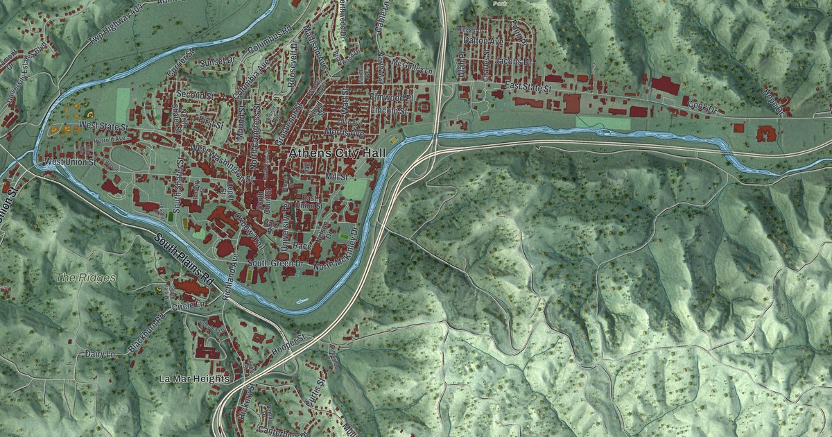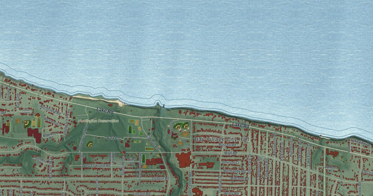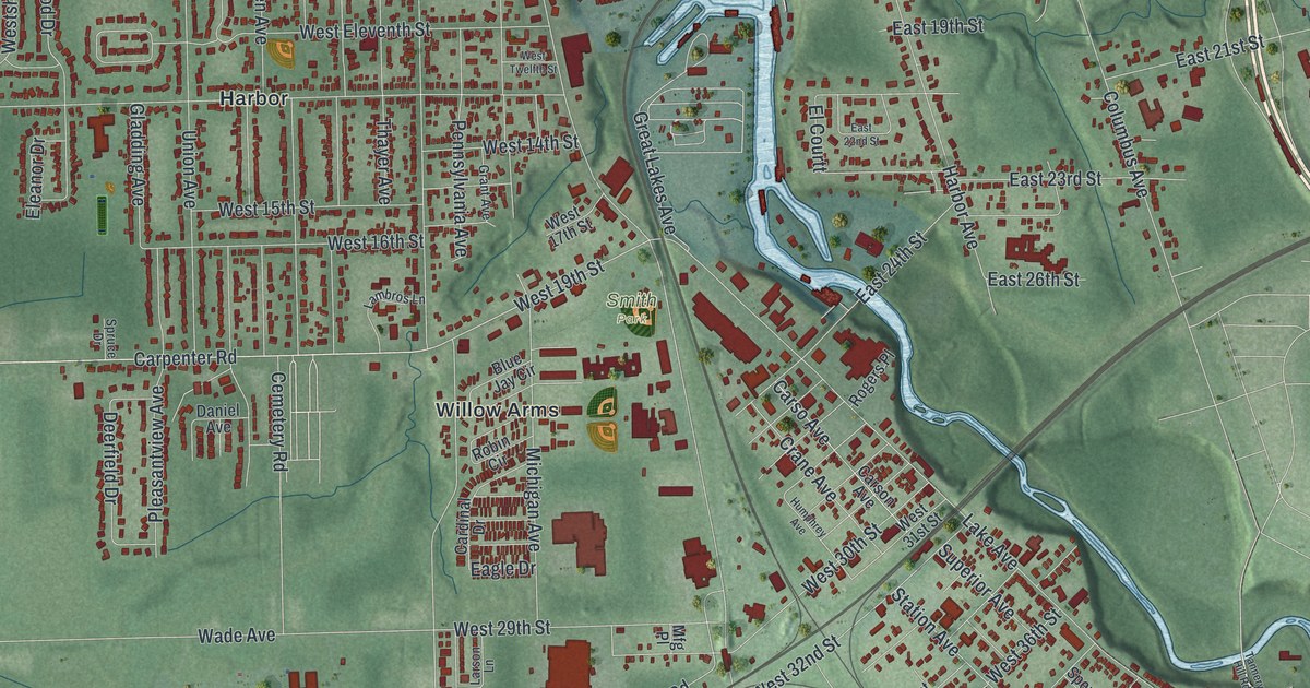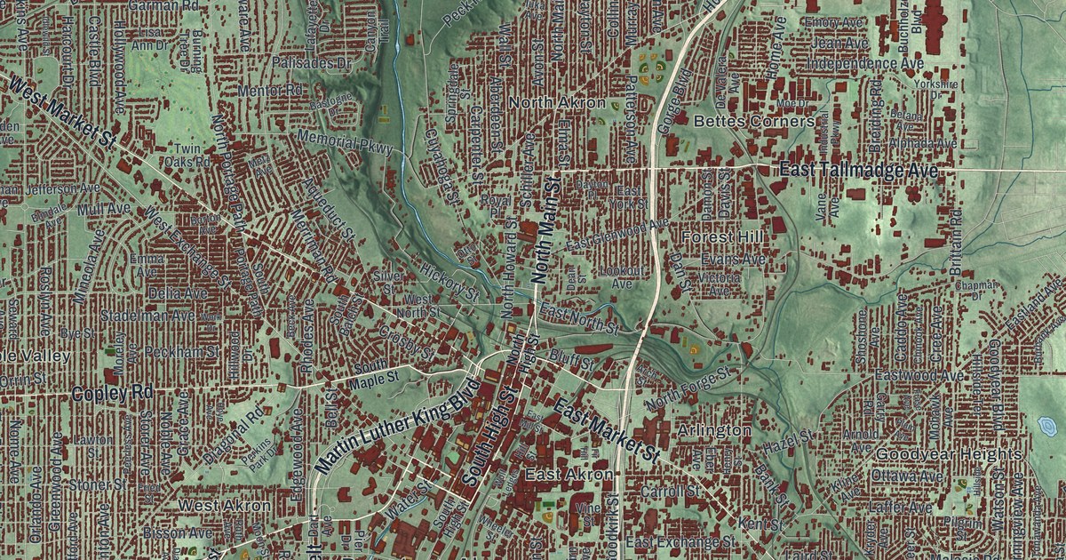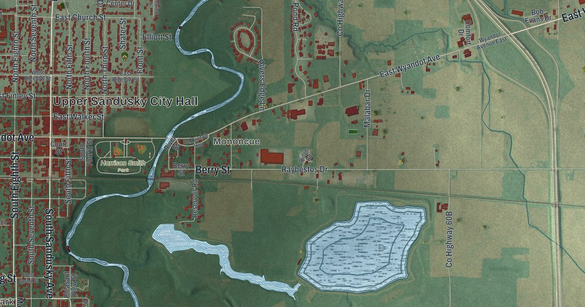
If you grew up in Upper Sandusky or still have family on its streets, this map is a piece of home. It's a new aerial view of Upper Sandusky in Wyandot County, Ohio, made from modern data and given a vintage look. The town's red buildings fill a tight grid of streets. A blue river winds in big loops past the east side of town. Green and tan farm fields spread out on every side, with a few blue ponds among them.
South Sandusky Avenue, West Wyandot Avenue and your own street
On this map you'll find North Sandusky Avenue, South Sandusky Avenue, West Wyandot Avenue, East Wyandot Avenue, Upper Sandusky City Hall, Main Street, East Church Street, North Fourth Street, South Park, Mononcue, Indian Mill Road, Old Lincoln Highway, North Warpole Street, Raybestos Drive, and more. Each red shape is a building, so zoom in on the preview and look for yours.
The Wyandot mission near Church and Fourth Streets
Long before this was a city, it was Wyandot land. A state historical marker at Church and Fourth Streets tells the story. The Wyandot called the Grand Reserve home for nearly a century before Ohio became a state. They built houses and farmed the land. They grew groves of fruit trees and ran a saw and grist mill. Many sent their children to school. They worshiped at a limestone church built in 1824. It's known as the first Methodist mission in the country.
Settlers wanted the good farmland of the Sandusky River Valley. The state and federal governments wouldn't let the Wyandot stay, even though they lived as friendly neighbors. After the Indian Removal Act of 1830, they were the last tribe removed from Ohio. The marker gives the date as July 11, 1843. The National Register listed the Wyandot Mission Church in 1976. On the map, look for East Church Street and North Fourth Street near the middle of town. The county and a main avenue through town still carry the Wyandot name.
Upper Sandusky on your wall
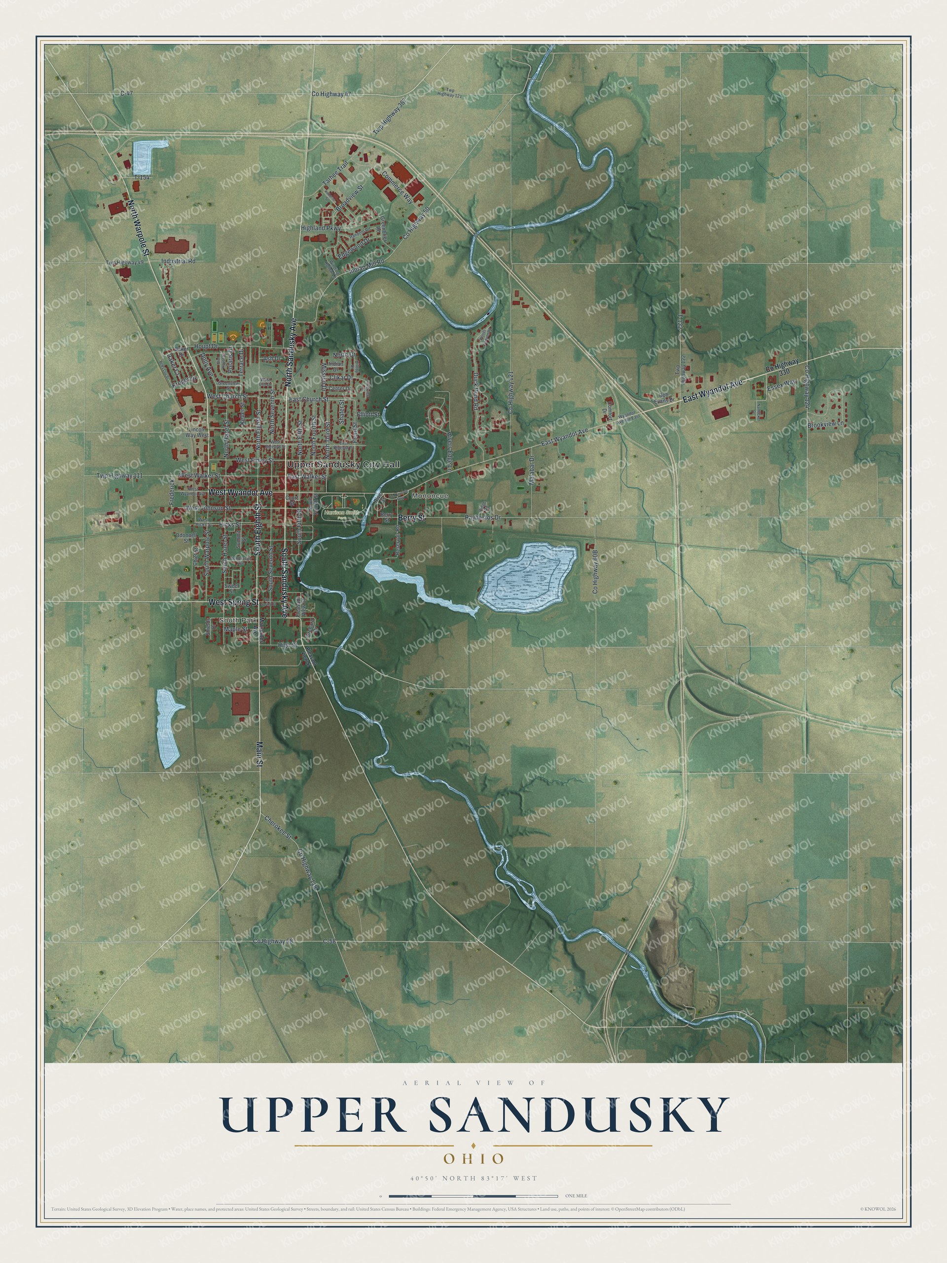
Created by KNOWOL in 2026, this print shows Upper Sandusky from above in soft greens and tans, with shaded land, blue water and red buildings. The title panel reads "Aerial View of Upper Sandusky, Ohio" with the coordinates 40°50' North 83°17' West.
It fits a living room, a front hall or a home office. It's a good gift for anyone who knows the courthouse on South Sandusky Avenue, whose courtroom was in the opening scenes of The Shawshank Redemption. It's also a way to send home to someone who moved away. Open the preview and find your street. See sizes and frames for the Upper Sandusky map.