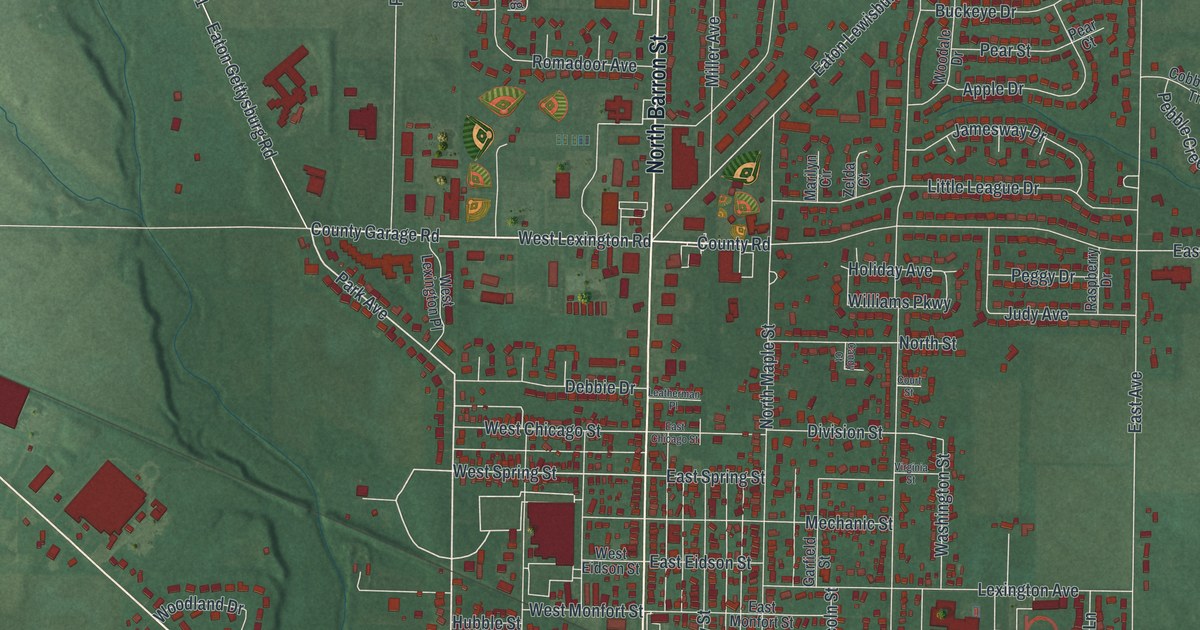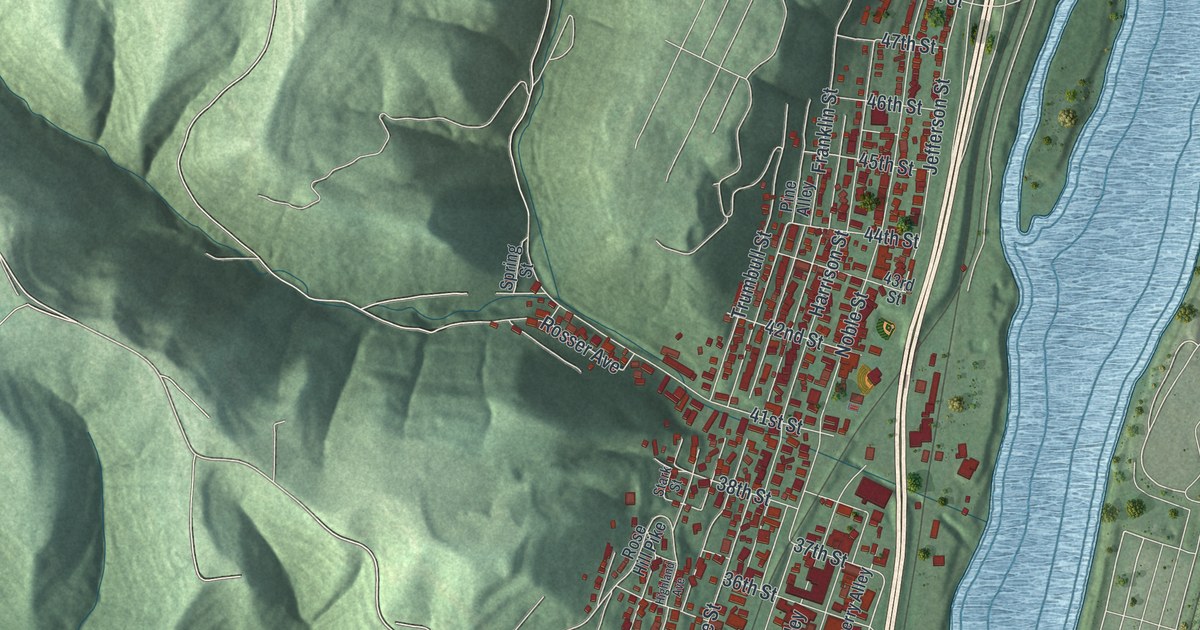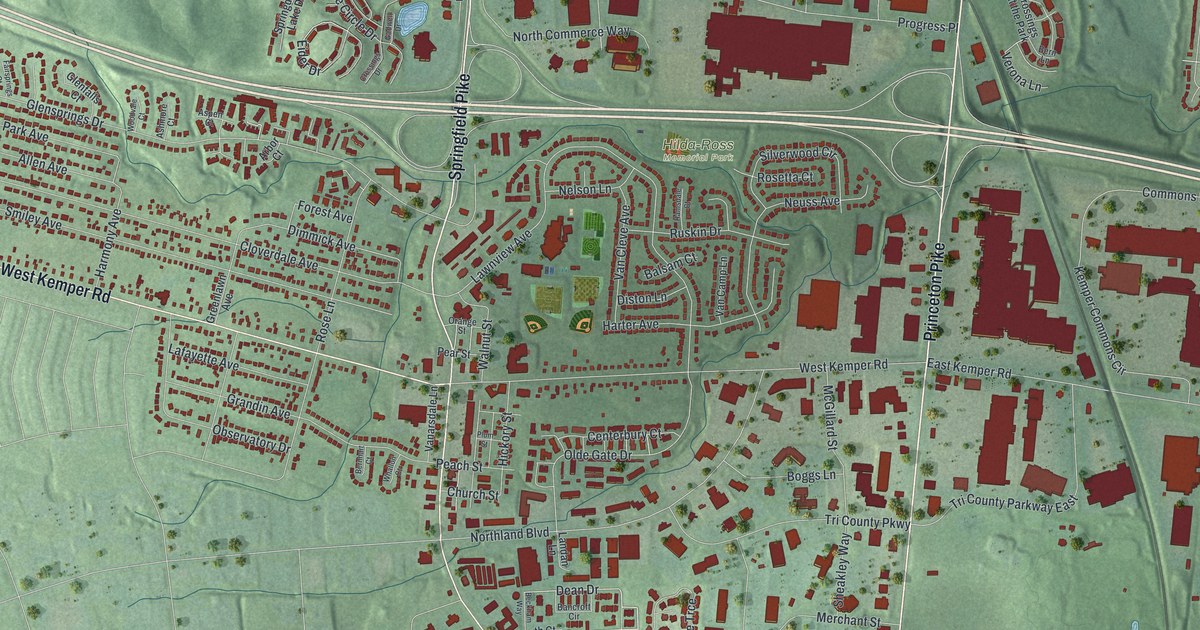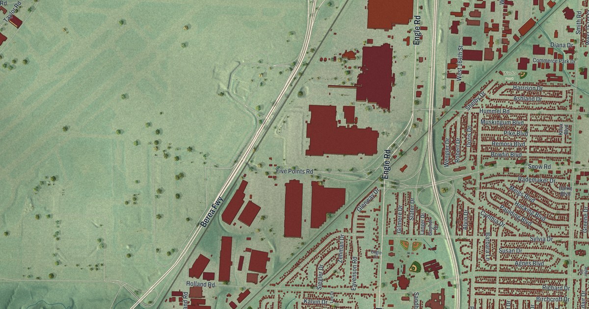
If you grew up in Brook Park, or you worked at the NASA lab on Brookpark Road, this map is for you. It's a modern aerial view of Brook Park in Cuyahoga County, Ohio, made from modern data and given a vintage feel. Rows of small red homes fill the blocks around Snow Road and Hummel Road. Big red plant roofs line Engle Road. A wide green field spreads across the middle, and a blue river curls down the left side.
Brook Park Streets From Engle Road to West 130th Street
On this map you'll find Brookpark Road, Engle Road, Snow Road, West 130th Street, Smith Road, Sheldon Road, Holland Road, Hummel Road, Middlebrook Boulevard, Five Points Road, Aerospace Parkway, Holy Cross Cemetery, Wedo Park, McKinley, and more. Each red shape is a building, so zoom in on the preview and look for yours.
The NASA Lab on Brookpark Road
Brook Park's best-known neighbor is the NASA Glenn Research Center at 21000 Brookpark Road. Its story starts in 1915. That year Congress formed a group to study aircraft, called the NACA. The NACA built three research labs. One was an engine lab in Cleveland, now the Glenn Research Center. Work on it began in 1941. The spot was a field next to the Cleveland Municipal Airport. In the 1930s, crowds parked there for the National Air Races. The lab opened in 1942, with Edward Sharp as its first director. In 1948 it took the name of George Lewis, a longtime NACA research leader. The Ohio historical marker for the center tells this story. It also says the campus roads kept the half-circle shape of the old race parking roads. On the map, the campus is the cluster of red buildings near Walcott Road and West Area Road. You can see the roads bend there.
One building on that campus is tied to the moon trips. The Zero Gravity Research Facility was added to the National Register in 1985. Its nomination called it the only one of its kind in the world. It tied the facility to the Centaur and Saturn upper stage rockets. Those rockets carried Americans to the moon. They also sent the Viking, Voyager and Mariner spacecraft to the planets.
Keep Brookpark Road and Home Close
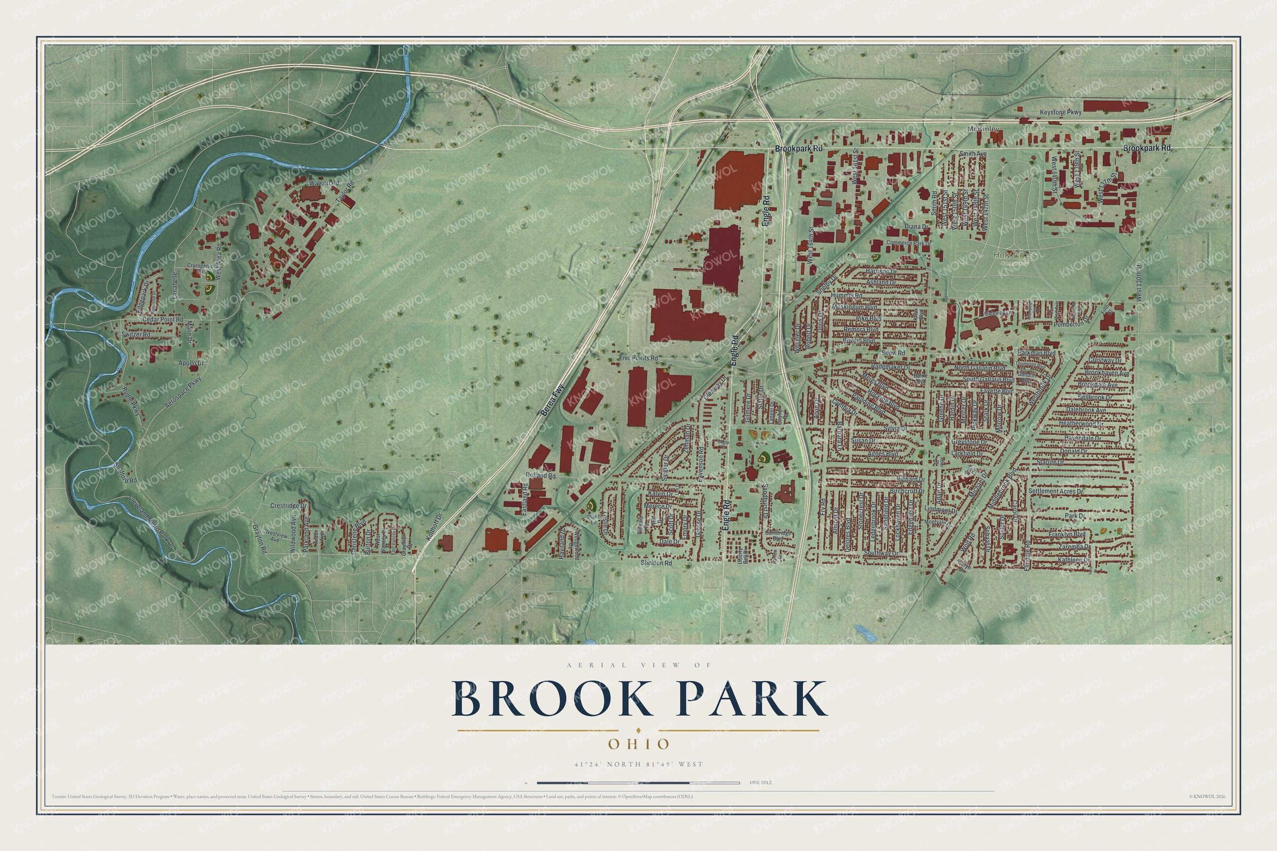
Created by KNOWOL in 2026. The print shows Brook Park from above in soft greens, with red buildings and a winding blue river. The title panel reads "Aerial View of Brook Park, Ohio" with the coordinates 41°24' North 81°49' West.
It fits a living room, a den or a hallway by the front door. It's a good gift for someone who played at Wedo Park as a kid, or who spent years working at the NASA lab on Brookpark Road. Open the preview and find your street. See sizes and frames for the Brook Park map.