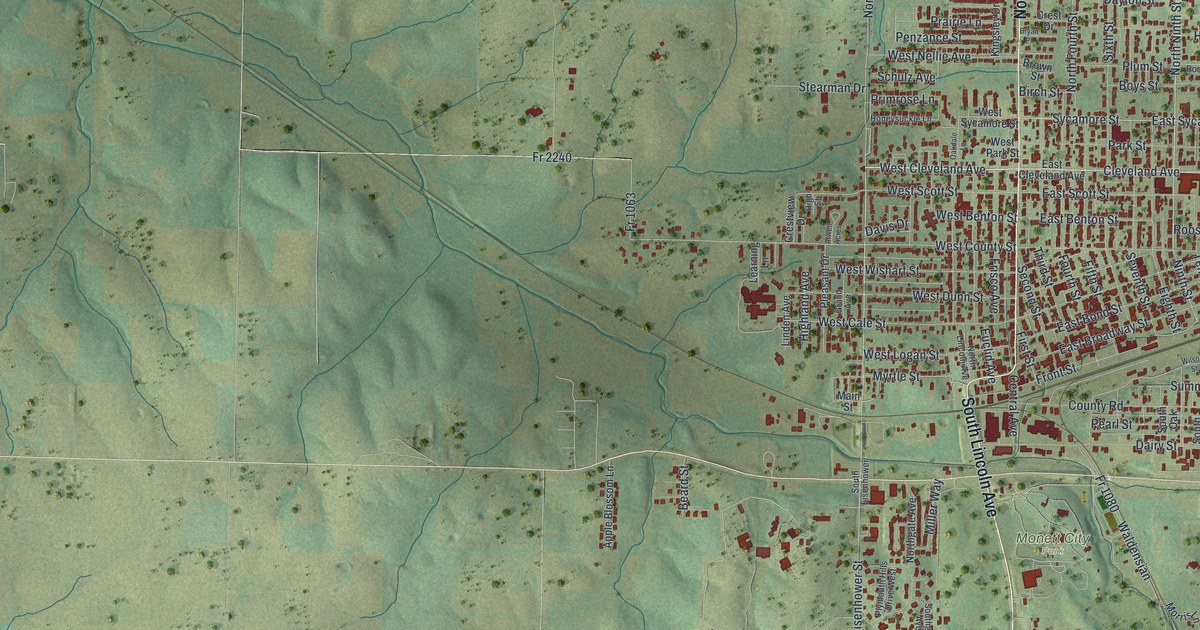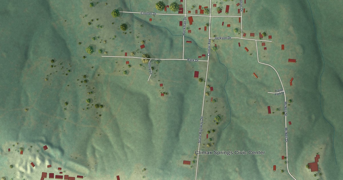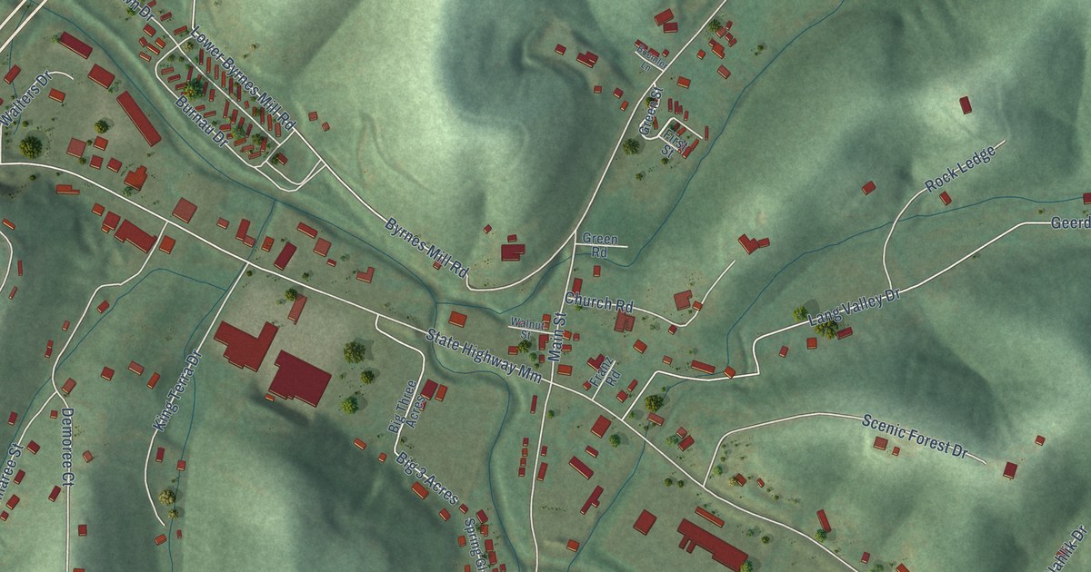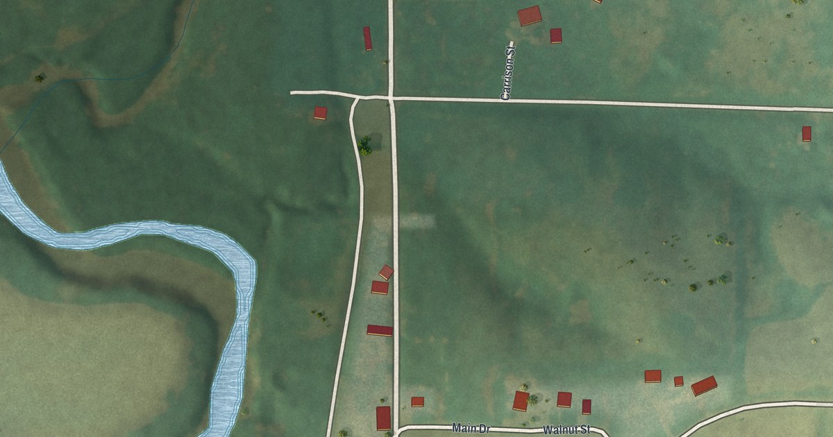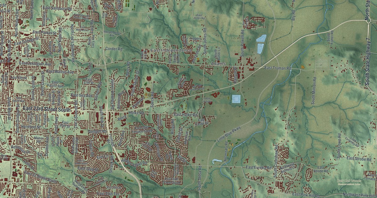
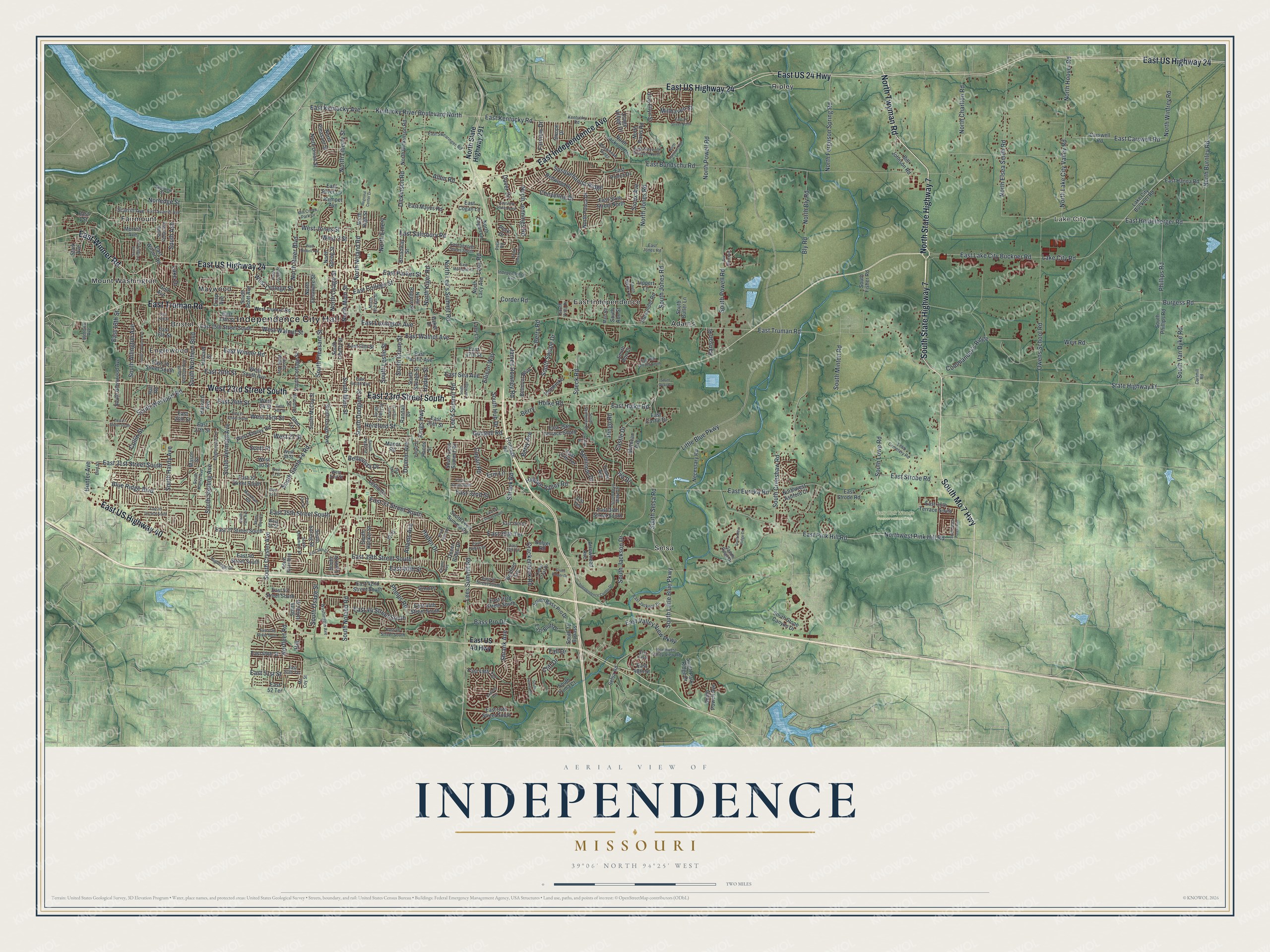
This beautifully detailed map of Independence, Missouri was created in 2026 using aerial imagery combined with modern topographical, census, street and landmark data. It’s a one-of-a-kind view of Independence that combines accurate data with a vintage aesthetic. The map shows every building in its true location, many of the roads carry their names, and the shaded topographic relief shows the shape of the land.
Explore an aerial view of Independence, Missouri
On the map you’ll find Independence City Hall, Lake City, Adair Park, Burr Oak Woods Conservation Area, Adams, Bristol, East Independence, Englewood, Fairmount, Maywood, Mount Washington, Ripley, and more. If you look closely you can even find your house accurately drawn in its correct location. Zoom in on the preview to look for yours.
Did you know this piece of Independence, Missouri history?
The town was founded on March 29, 1827, and named for the Declaration of Independence. It stood at the farthest point west that steamboats could reach on the Missouri River. Merchants and adventurers set out from here on the long Santa Fe Trail.
Take a closer look at the Independence map
Street and place names on the Independence, Missouri map
These names are printed on the map of Independence, Missouri.
Places: Independence City Hall, Lake City, Adair Park, Burr Oak Woods Conservation Area, Adams, Bristol, East Independence, Englewood, Fairmount, Maywood, Mount Washington, Ripley and Selsa.
Streets and roads: North Twyman Road, South Mo 7 Highway, East US Highway 24, East Independence Avenue, East 23rd Street South, North State Highway 7, West 23rd Street South, South State Highway 7, East Truman Road, East US 24 Highway, East US Highway 40, East Winner Road.
More street names, A to Z
31st Terrace, 37 Street, 42nd Place, Adams Avenue, Alexander Road, Allen Road, Arrowhead Avenue, Arrowhead Ridge, Baker Drive, Bass Pro Drive, Bedford Avenue, Bellevista Drive, Belmont Boulevard, Berry, Berry Avenue, Berry Road, Bill Johnson Road, Bird Street, Blue Ridge Boulevard, Bly Road, Bolger Road, Broadway Street, Burgess Road, Carswell Road, Cartmill Road, Castle Drive, Cedar Crest Drive, Cheyenne Drive, Cliff Drive, Cochise Drive, Cogan Road, Collin Street, Commander's Ridge, Corder Road, Crackerneck Road, Crisp Avenue, Dickinson Road, Dover Drive, Downey Avenue, Drumm Avenue, East 1 Street, East 13th Street, East 14 Street North, East 14th Street, East 15th Street South, East 16th Street, East 17th Street, East 18th Street, East 18th Terrace South, East 20 Street South, East 20th Street, East 24th Street, East 25 Street South, East 25th Street, East 25th Terrace South, East 26th Street, East 27 Street South, East 27th Street, East 27th Terrace, East 30th Terrace South, East 31 Street South, East 31st Street South, East 32 Street South, East 32nd Street, East 33 Street South, East 33rd Street, East 34 Street South, East 34th Street South, East 35 Terrace South, East 35th Street, East 35th Street South, East 35th Terrace, East 37 Street South, East 37th Terrace, East 39th Court, East 39th Street South, East 40 Street South, East 40th Street, East 41 Street South, East 42nd Street South, East 43 Street South, East 43rd Street South, East 44 Street South, East 44th Street South, East 46 Street South, East 47th Street, East 47th Street South, East 48th Street, East 49th Street, East 49th Terrace, East 50th Terrace, East 51st Street, East 52 Terrace, East 54th Street South, East Bluff Drive, East Bundschu Road, East Carswell Road, East Castle Drive, East Cogan Lane, East College Street, East Debra Street, East Eleventh Terrace North, East Elm Street, East Eureka Road, East Fifth Street North, East Hanna Road, East Heidelberger Road, East Holke Road, East Jackson Drive, East Jones Road, East Kentucky Avenue, East Kentucky Road, East Lake City Buckner Road, East Lexington Avenue, East Mayes Road, East Mechanic Street, East Pacific Avenue, East Parker Street, East Pink Hill Road, East Ponca Drive, East Salisbury Road, East Scarritt Avenue, East Sea Avenue, East Second Street South, East Silver Lane, East Sixth Street North, East South Avenue, East Strobe Road, East Strode Road, East Swearingen Road, East US 40 Highway, East Valley View Parkway, East Walnut Avenue, East Wilson Road, Ellison Way, Englewood Terrace, Erin Lane, Fall Drive, Farview Drive, Frontage Road, Glen Ellyn Street, Glen Lane, Golf Avenue, Grant Avenue, Gudgell Road, Haden Drive, Haden Street, Hall Road, Hands Street, Harvard Avenue, Harvard Street, Hereford Street, Hidden Valley Road, Highridge Drive, Hill, Holke Road, Hunter Avenue, Independence Avenue, Independence Center Drive, Iva Drive, James Downey Road, Kemper Avenue, Kentucky River Boulevard North, Kentucky Road, Kings Highway, Lacy Lane, Lacy Road, Lake City Buckner Road, Lake City Road, Lake Drive, Lake Terrace, Lee's Summit Road, Lees Summit Road, Leslie Drive, Lippert Lane, Little Blue Parkway, Lobb Cemetery Road, Main Road, Manor Road, Markham Road, Mason Street, Mc Coy Street, Menown Avenue, Mill Creek Park Drive, Millhaven Street, Mohican Avenue, Morrell Avenue, Necessary Road, Norfleet Road, Norledge Street, North Bly Road, North Burnley Road, North Charlton Road, North Cogan Lane, North Crysler Street, North Davis Road, North Delaware Street, North Dickinson Road, North Elsea Smith Road, North Emery, North Ferguson Spring Road, North Hanover Avenue, North High Street, North Hocker Street, North Hoover Road, North Jackson Drive, North Jennings Road, North Jones Road, North Kiger Road, North Lacy Avenue, North Lake City Valley Road, North Lee's Summit Road, North Liberty Street, North Main Street, North Noland Road, North Osage Street, North Pleasant Street, North Ponca Drive, North Powell Road, North River Boulevard, North Rogers Street, North Spring Street, North State Highway 291, North Union Street, Northwest Ashford Court, Northwest Pink Hill Road, Northwest Valley View Road, North Winfrey Road, Osage Village Drive, Owens School Road, Parkview Street, Peck Drive, Peck Road, Pembroke, Phelps Road, Phillips Road, Pollard Street, Queen Ridge Drive, Randall Drive, Ranson Place, Redwood Drive, Regional Center Drive, Ringo Road, Saddle Ridge Drive, Scarritt Avenue, Scott Place, Selsa Road, Seminole Drive, Shady Bend Drive, Shrank Avenue, Shrank Road, Sioux Avenue, South 71 Bypass, South Ann Court, South Ann Street, South Arlington Avenue, South Arlington Street, South Ash, South Bass Pro Drive, South Black Forest Avenue, South Bolger Drive, South Bryn Mawr Drive, South Butler Lane, South Cedar Avenue, South Cottage Street, South Crane Street, South Crenshaw Road, South Crysler Avenue, South Delaware Street, South Dodgion Street, South Emery Street, South Fisher Road, South Glenwood Avenue, South Hardy Avenue, South Harris Avenue, South Hocker Street, South Hub Drive, South Jackson Drive, South Jones Road, South Kiger Road, South Kisner Drive, South Lee's Summit Road, South Lees Summit Road, South Leslie Street, South Liberty Street, South Little Blue Parkway, South Logan Street, South Lowe Road, South Lynn Street, South Main Street, South McCoy Street, South Minton Road, South Mize Ridge Court, South Noland Road, South Northern Boulevard, South Osage Avenue, South Osage Street, South Overton Avenue, South Park Avenue, South Park Ridge Drive, South Pearl Street, South Phillips Road, South Pleasant Street, South Powell Avenue, South Powell Road, South Quail Drive, South Ralston Avenue, South River Boulevard, South Santa Fe Road, South Savage Street, South Scott Avenue, South Selsa Road, South Seminole Drive, South Shrank Avenue, South Spring Street, South Sterling Avenue, South Stone Canyon Drive, South Swope Drive, South Tierney Drive, South Trail Ridge, South Union Street, South Van Dyke Road, South Vermont Avenue, South Vista Drive, South Westport Road, South Willis Avenue, South Yuma Court, Speck Road, Stark Avenue, State Highway Ff, Sue Ellen Avenue, Susquehanna Ridge, Swope Drive, Tepee Avenue, Washington Avenue, Weir Road, West 2 Street, West 24 Street, West 24th Street, West 25th Street, West 27 Street, West 29 Street, West 30 Street, West 31 Street, West 31st Street, West 33 Street, West 36 Street, West College Street, West Jones Street, West Nickell Avenue, West Sheley Road, West South Avenue, West Truman Road, West Walnut Street, Windsor Street.
See the Independence, Missouri map on a wall
The Independence map as an 18 x 24 inch print in a black frame.

This beautifully detailed map of Independence makes an attractive addition to your office, library, or den, and it can even be used to teach children the geography and history of the area. It also makes a great gift for anyone who grew up in Independence or moved away. When you’re done exploring, click here to get your copy of the Independence map.