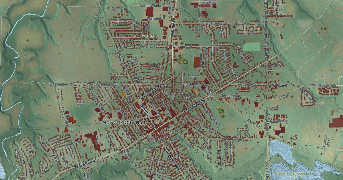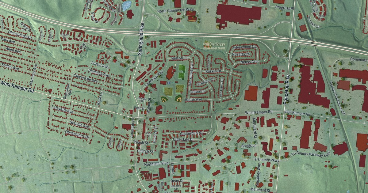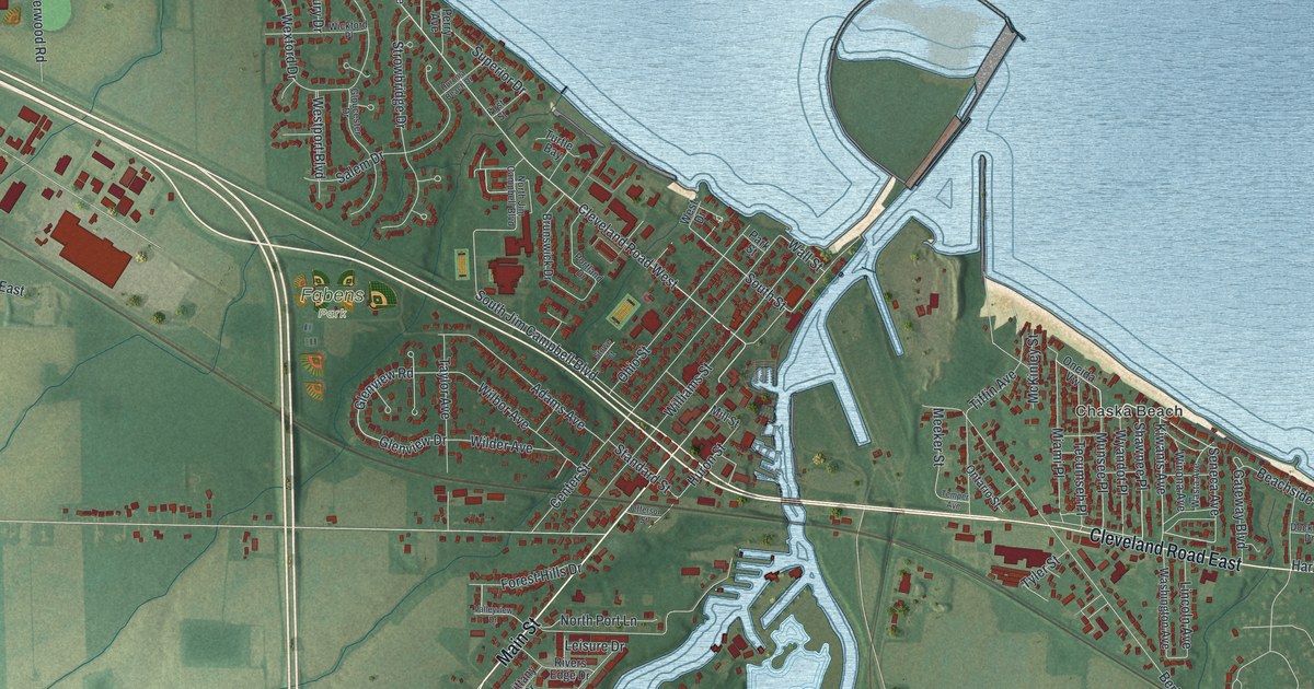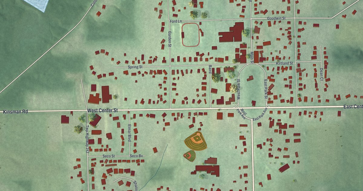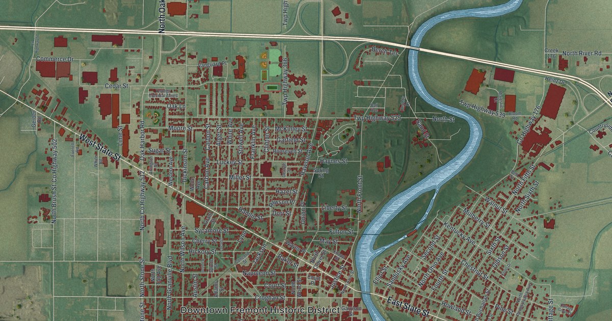
If you grew up in Fremont, or you still drive West State Street into downtown, this map was made for you. It's a modern aerial view of Fremont in Sandusky County, Ohio, built from modern data and given a vintage look. A wide blue river winds down the middle of the sheet. The downtown blocks sit on its west bank, and the east side fills the other bank. More than 11,000 red buildings crowd the streets, with green farm fields all around.
West State Street, Croghan Street and More
On this map you'll find West State Street, East State Street, Croghan Street, Hayes Avenue, Buckland Avenue, Birchard Avenue, Rawson Avenue, North Front Street, Napoleon Street, Castalia Street, McPherson Highway, the Downtown Fremont Historic District, Stony Prairie, Rodger Young Park, and more. Each red shape is a building, so zoom in on the preview and look for yours.
Spiegel Grove on Hayes Avenue
Fremont is best known as the home of Rutherford B. Hayes, the 19th president of the United States. His estate, Spiegel Grove, covers 25 acres at the corner of Buckland and Hayes Avenues. The name comes from the German word "spiegel," which means mirror. After a rain, pools of water gather under the trees. Hayes's uncle, Sardis Birchard, was a Fremont merchant. He built the house in 1863. The Hayes family moved in after 1873, and they came home to stay in 1881. Lucy Hayes died there in 1889, and her husband died there in 1893. In 1909 their children gave the land to the state of Ohio. It became the nation's first presidential library, as the Remarkable Ohio marker at the site explains. Birchard was also Hayes's middle name, and you'll find Birchard Avenue on the map too.
Fort Stephenson and Croghan Street
Fremont's story goes back even further, to the War of 1812. Fort Stephenson was built here in 1812 and 1813. It was named for Col. Mills Stephenson, one of the men who built it. On August 2, 1813, Major George Croghan and his soldiers held the fort in the Battle of Fort Stephenson. A state marker stands at 423 Croghan Street, close to the downtown blocks on the map.
Keep Fremont and Spiegel Grove Close
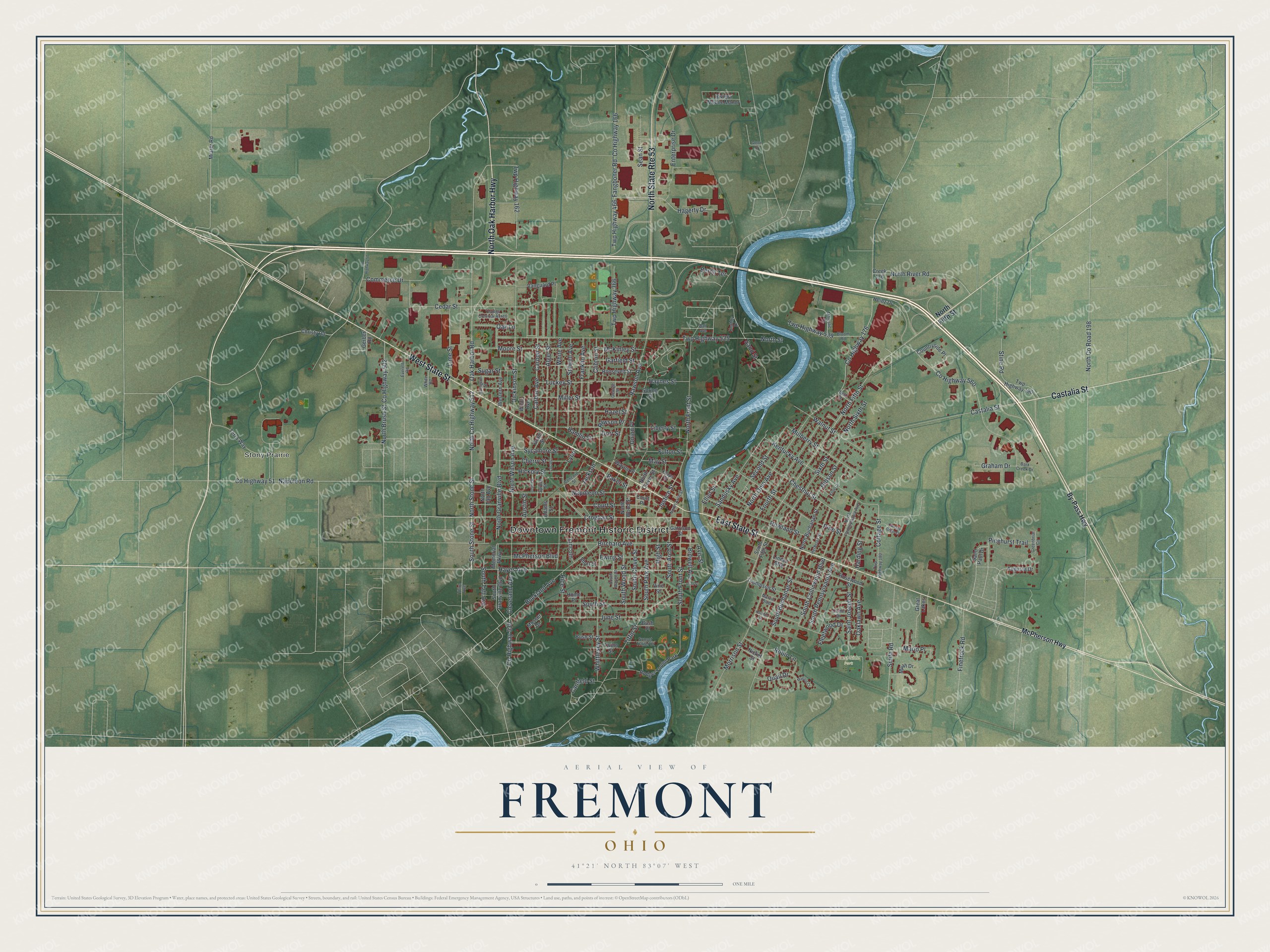
Created by KNOWOL in 2026, this print shows Fremont from above, with soft green farm fields, a winding blue river and the town's buildings in deep red. The title panel reads "Aerial View of Fremont, Ohio" with the coordinates 41°21' North 83°07' West.
It looks right in a living room, a den or a front hall. It makes a good gift for anyone who grew up near Spiegel Grove, or for a family member who moved away and still calls Fremont home. Open the preview and find your street. See sizes and frames for the Fremont map.