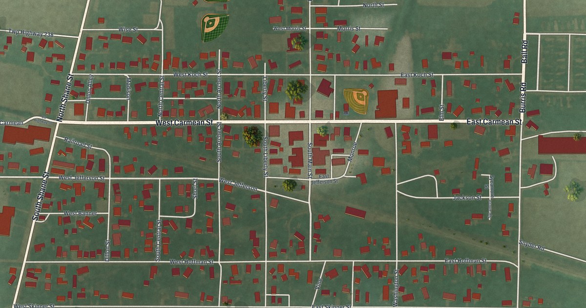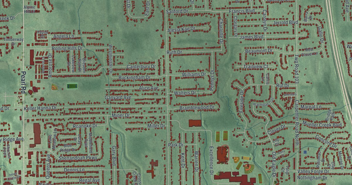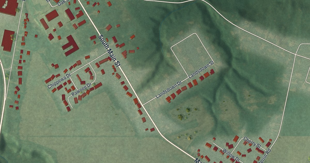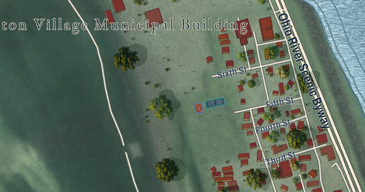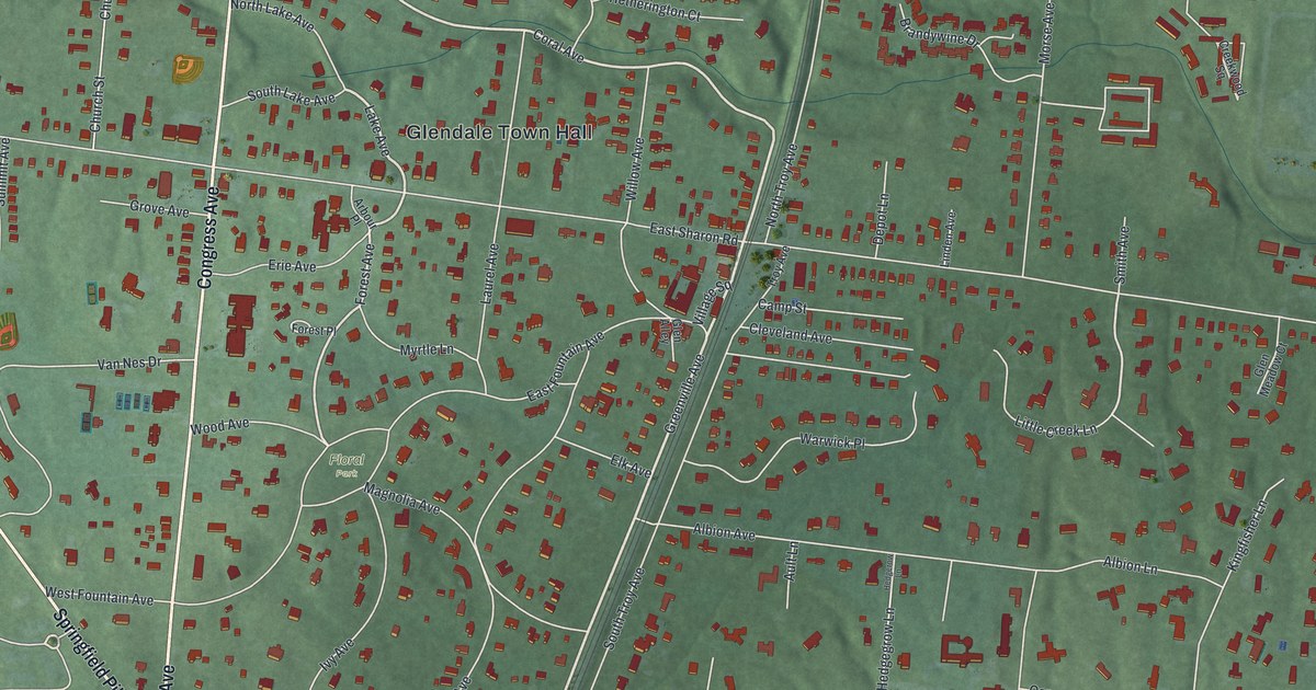
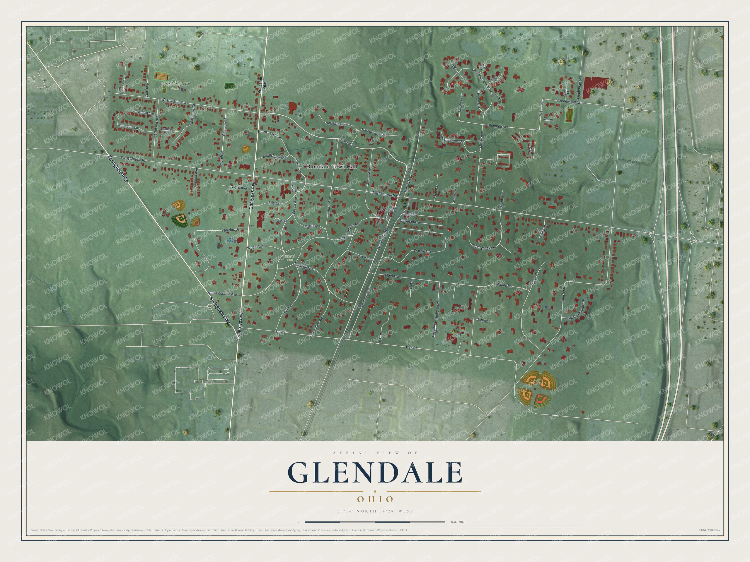
This beautifully detailed map of Glendale, Ohio was created in 2026 using aerial imagery combined with modern topographical, census, street and landmark data. It’s a one-of-a-kind view of Glendale that combines accurate data with a vintage aesthetic. The map shows every building in its true location, many of the roads carry their names, and the shaded topographic relief shows the shape of the land.
Explore an aerial view of Glendale, Ohio
On the map you’ll find Glendale Town Hall, Washington Park, and Floral Park, along with Congress Avenue, Springfield Pike, Greenville Avenue, Lake Avenue, Coral Avenue, Forest Avenue, Little Creek Lane, Walnut Street, East Sharon Road, and more. If you look closely you can even find your house accurately drawn in its correct location. Zoom in on the preview to look for yours.
Take a closer look at the Glendale map
Street and place names on the Glendale, Ohio map
These names are printed on the map of Glendale, Ohio.
Places: Glendale Town Hall, Washington Park and Floral Park.
Streets and roads: Congress Avenue, Springfield Pike, Greenville Avenue, Lake Avenue, Coral Avenue, Forest Avenue, Little Creek Lane, Walnut Street, East Sharon Road, Oak Road, Chester Road, Albion Avenue.
More street names, A to Z
Albion Lane, Annadale Lane, Arbour Place, Ault Lane, Brandywine Drive, Camp Street, Carruthers Pond Drive, Church Avenue, Church Street, Clarke Court, Cleveland Avenue, Cole Avenue, Coolidge Avenue, Creekwood Square, Depot Lane, East Fountain Avenue, Elk Avenue, Erie Avenue, Forest Place, Frick Court, Garfield Avenue, Glen Alley, Glendale Avenue, Glen Meadow Court, Greenwood Avenue, Grove Avenue, Hedgegrow Lane, Hedgerow Avenue, Hedgerow Lane, Hetherington Court, Hetherington Lane, Ivy Avenue, James Place, Jefferson Avenue, Kingfisher Lane, Laurel Avenue, Lincoln Avenue, Linden Avenue, Lippleman Avenue, Magnolia Avenue, Maple Avenue, Matthews Court, Morse Avenue, Myrtle Lane, North Lake Avenue, North Troy Avenue, Oak Drive, Oak Street, Osprey Lane, Princeton Pike, Rogan Drive, Rowley Court, Saint Edmunds Place, Smith Avenue, South Lake Avenue, South Troy Avenue, Summit Avenue, Thomas Court, Troy Avenue, Van Nes Drive, Village Square, Ward Lane, Warwick Place, Washington Avenue, West Fountain Avenue, West Sharon Road, Willow Avenue, Wood Avenue, Woodbine Avenue.
See the Glendale, Ohio map on a wall
The Glendale map as an 18 x 24 inch print in a black frame.

This beautifully detailed map of Glendale makes an attractive addition to your office, library, or den, and it can even be used to teach children the geography and history of the area. It also makes a great gift for someone who left Glendale and still calls it home. When you’re done exploring, click here to get your copy of the Glendale map.